The best walks and hikes around Grafendorf bei Hartberg
4.6
(1022)
5,968
hikers
39
hikes
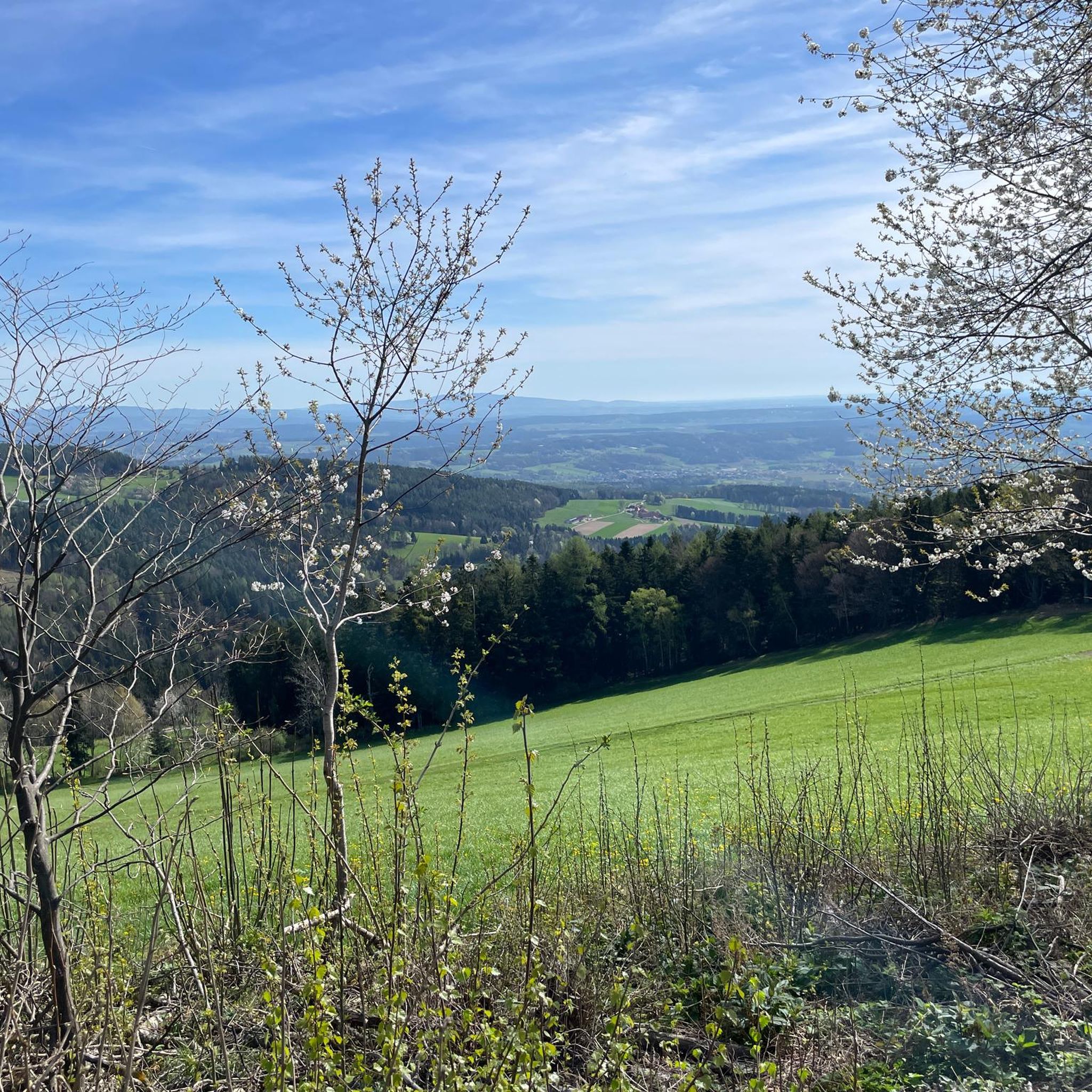
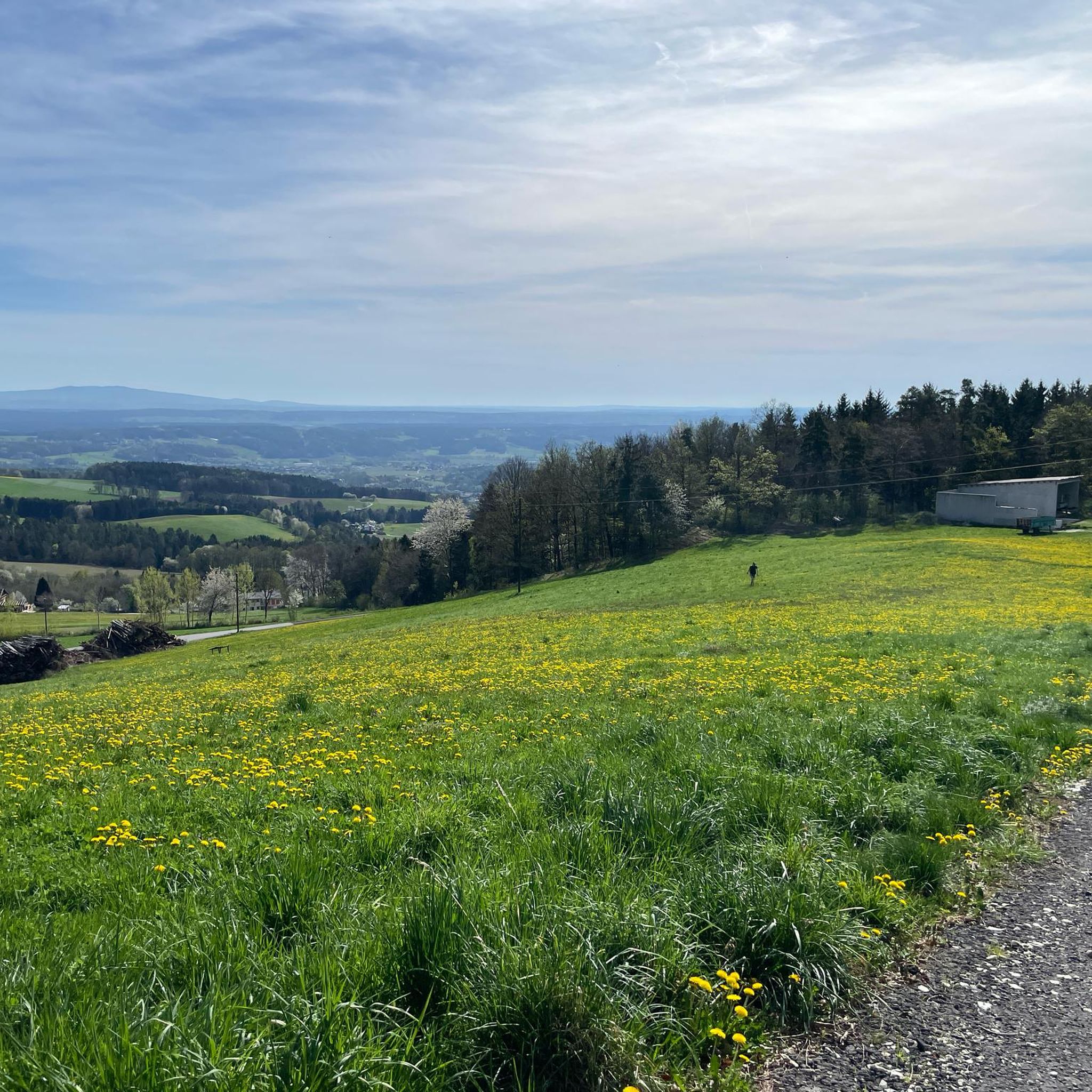
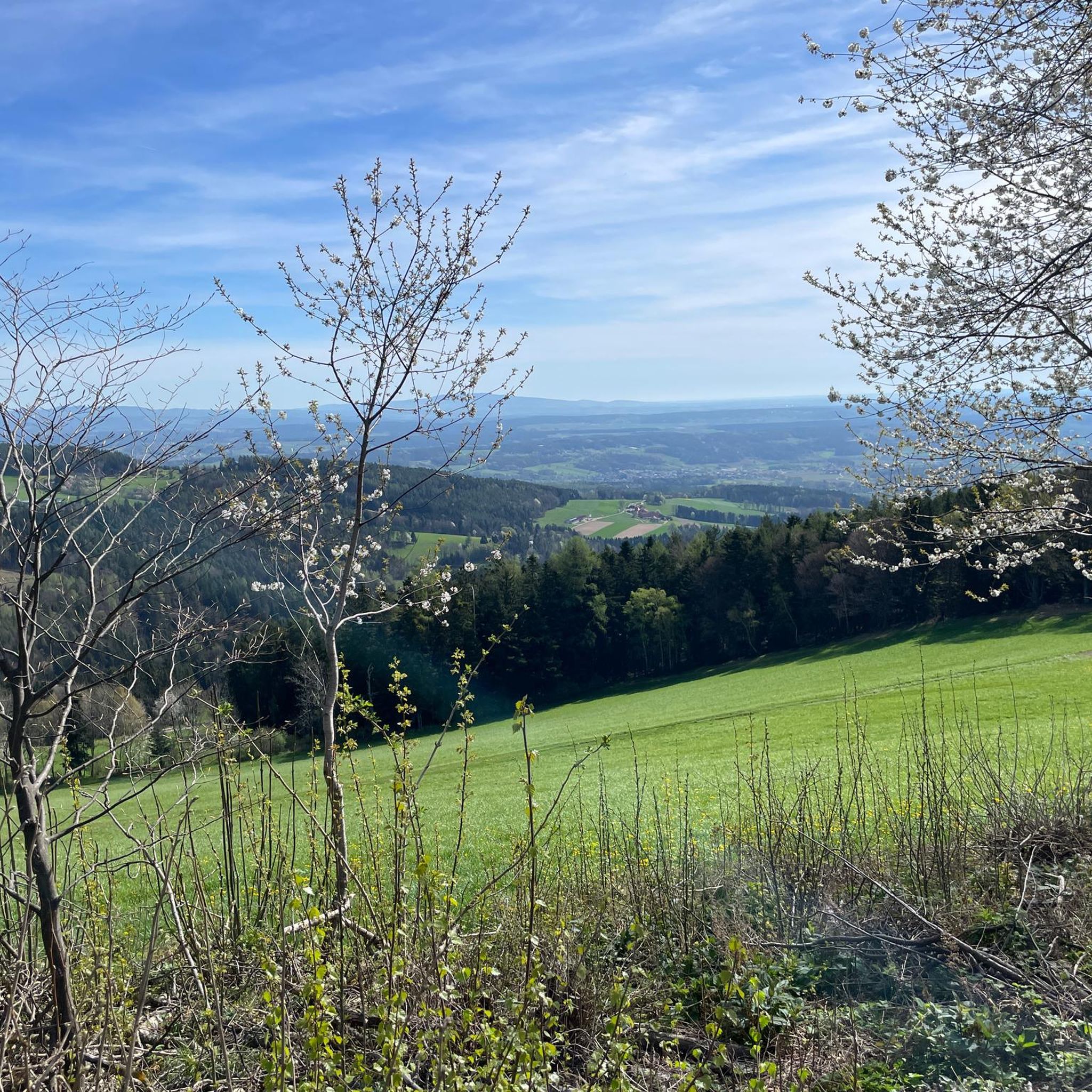
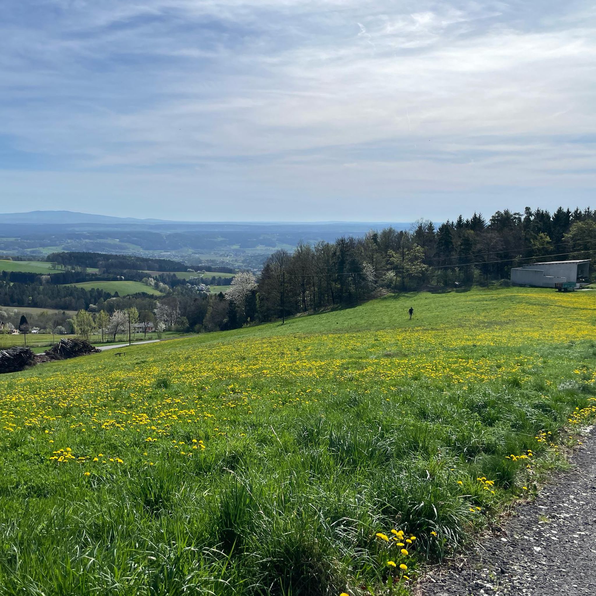
Hiking around Grafendorf bei Hartberg offers diverse terrain in the eastern Styria hill country, situated at the foot of the Masenberg. The landscape features wooded hills, pastures, fields, forests, meadows, and gorges. Altitudes range from 300 to 1,250 meters above sea level, providing varied hiking experiences. The region is characterized by its mix of gentle hills and extensive forests.
Best hiking trails around Grafendorf bei Hartberg
- The most popular hiking route is Olmstoll Mountain Hut Restaurant – Masenberg Chapel loop…
Last updated: October 16, 2026
4.4
(7)
36
hikers
Moderate hike. Good fitness required. Mostly accessible paths. Sure-footedness required.
30
hikers
7.05km
01:55
110m
110m
Easy hike. Great for any fitness level. Easily-accessible paths. Suitable for all skill levels.

5.0
(3)
10
hikers
6.41km
02:00
250m
250m
Easy hike. Great for any fitness level. Easily-accessible paths. Suitable for all skill levels.
4.0
(1)
11
hikers
8.09km
02:12
120m
120m
Moderate hike. Good fitness required. Easily-accessible paths. Suitable for all skill levels.
6
hikers
6.27km
01:59
260m
250m
Easy hike. Great for any fitness level. Easily-accessible paths. Suitable for all skill levels.
Get access to more routes and recommendations from other explorers.
Already have an account?
Our route recommendations are based on thousands of hikes, rides, and runs completed by other people on komoot.
Start today with a free account
Your next adventure awaits.
Tips from the Community

The Masenberg at 1,262 m above sea level is the last high spur of the Central Alps towards the east. With its elongated mountain ridge, it separates the Vorau basin to the north and the Lafnitztal to the east.
0
0
The quality of the food served was very good!!!!
0
0

As elsewhere in and around the town. The history boards are a great idea with a lot of information. At this spot, you can also find the "Wurzelsepp Fountain" (we gave it that name). And a bench for resting.
1
0
We took a break here during our hike. A really nice little spot here at the edge of the forest by the pond. And there are plenty of seating options too.
1
0

The cardinal slices alone make a stop worthwhile 😋😋😇🤩
0
0

Chapel in the forest near Grafendorf.
0
0

Frequently Asked Questions
What kind of terrain can I expect on hiking trails around Grafendorf bei Hartberg?
The region offers a diverse landscape, characterized by wooded hills, lush pastures, fields, forests, meadows, and even small gorges. You'll find varied terrain from gentle slopes to more challenging ascents, with altitudes ranging from 300 to 1,250 meters above sea level.
Are there any easy hiking trails suitable for beginners or leisurely strolls?
Yes, Grafendorf bei Hartberg has plenty of easy trails. For instance, the True saying – St. Hubertus Chapel loop from Grafendorf bei Hartberg is an easy 7.0 km path that provides a pleasant loop around the area. Another option is the Hiking loop from Edhöf, a 6.4 km trail through varied terrain.
What are some notable natural features or landmarks to see while hiking?
You can explore several natural highlights. The Beistein Rock, an 813-meter-high local mountain, offers panoramic views of the Styrian and Burgenland hills. The Heilbründl is a natural spring in Seibersdorf, providing refreshing drinking water. Additionally, you might encounter the tranquil Stambach Creek, which several routes follow through forests. For specific natural monuments, consider visiting Hartberger Gmoos or the Schönauklamm Gorge.
Are there any circular hiking routes in the area?
Many of the trails around Grafendorf bei Hartberg are circular, allowing you to start and end at the same point. Popular options include the 14 km Heilbründl-Runde, which passes by a natural spring and two castles, and the Beistein-Runde, which takes you to the impressive Beistein rock. The St. Hubertus Chapel – True saying loop from Grafendorf bei Hartberg is another moderate 8.1 km circular hike.
What do other hikers say about the trails in Grafendorf bei Hartberg?
The hiking trails in Grafendorf bei Hartberg are highly rated by the komoot community, with an average score of 4.5 stars from over 260 reviews. Hikers often praise the diverse terrain, the well-maintained paths, and the scenic views of the eastern Styria hill country.
Are there any challenging hikes for experienced hikers?
Yes, for those seeking a more challenging experience, the region offers routes with greater elevation gain. The Olmstoll Mountain Hut Restaurant – Masenberg Chapel loop from Sankt Pankrazen is a moderate 13.3 km trail that takes approximately 4 hours and 11 minutes to complete, offering a good workout for hikers with basic fitness. There is also the Bench – Bridge over the river loop from Grafendorf bei Hartberg, a difficult 19.8 km route.
Can I find viewpoints with panoramic scenery along the trails?
Absolutely. The region, situated at the foot of the Masenberg, offers numerous opportunities for scenic views. The Beistein Rock provides stunning panoramic vistas of the Styrian and Burgenland hills. You can also find excellent views from the Ringwarte Observation Tower or from the Masenberg Summit Cross.
Are there any historical sites or castles to visit on a hike?
Yes, several routes integrate cultural and historical points of interest. The 3-Schlösser-Wanderung (Three Castles Hike) is an approximately 22 km circular trail that leads past three significant castles: Reitenau, Kirchberg am Walde, and Aichberg. The Heilbründl-Runde also passes by Reitenau and Kirchberg castles, with information boards detailing their history.
What is the best time of year to go hiking in Grafendorf bei Hartberg?
The diverse landscape of Grafendorf bei Hartberg makes it suitable for hiking throughout much of the year. Spring and autumn offer pleasant temperatures and vibrant scenery, while summer provides lush green forests. Even winter can be beautiful for hiking, especially on cleared paths, though some higher routes might require appropriate gear.
Are there any trails that follow rivers or streams?
Yes, the region features trails that follow natural waterways. The Putz Graben Rundweg, for example, starts from Grafendorf's main square and follows the refreshing course of the Stambach creek through forests, offering a tranquil hiking experience.
How many hiking routes are available in Grafendorf bei Hartberg?
There are over 40 hiking routes available around Grafendorf bei Hartberg, catering to various fitness levels and preferences. This includes 17 easy routes, 21 moderate routes, and 2 difficult routes.
Most popular routes around Grafendorf bei Hartberg
Most popular attractions around Grafendorf bei Hartberg

Get inspired with the komoot mobile app


Explore more
Browse the best Hikes in other regions.
