The best walks and hikes around Dunscore
4.5
(53)
639
hikers
24
hikes
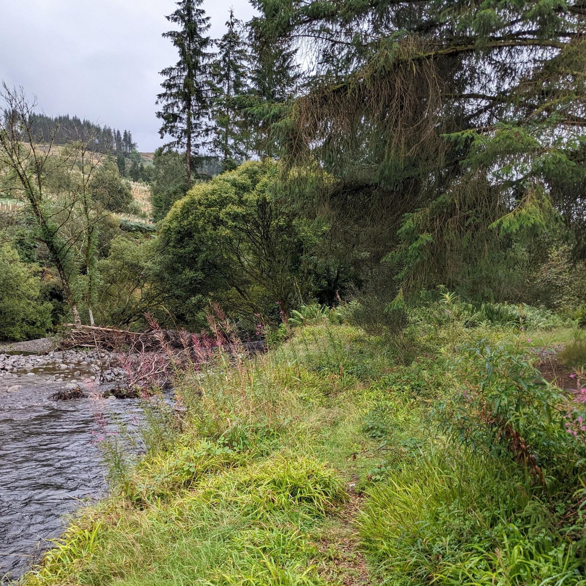
Hiking around Dunscore, located in Dumfries and Galloway, offers a variety of trails through a landscape characterized by river valleys, tranquil reservoirs, and rural farmland. The region features gentle elevation changes, making many routes accessible for various fitness levels. Paths often follow waterways and loop around natural features, providing varied scenery. Rolling hills like Bogrie Hill and Wauk Hill offer rewarding walks with views of the surrounding countryside.
Best hiking trails around Dunscore
- The most popular hiking route is River Nith – Kirkpatrick Macmillan Bridge loop from Dumfries, a 5.8 miles (9.3 km) trail that takes 2 hours 24 minutes to complete. This route follows the River Nith and crosses the historic bridge.
- Another top favourite among local hikers is Glenkiln Reservoir loop from Dumfries and Galloway, a moderate 5.5 miles (8.9 km) path. This route offers views of the reservoir and surrounding hills, with an elevation gain of over 200 meters.
- Local hikers also love the Hiking loop from Ellisland Farm, a 4.5 miles (7.2 km) trail leading through rural landscapes, often completed in about 1 hour 51 minutes.
- Hiking around Dunscore is defined by river paths, reservoir circuits, and gentle rural trails. The network offers options for different ability levels, from easy family friendly walks to more moderate excursions.
- The routes in Dunscore are highly rated by the komoot community with an average score of 4.6 stars from over 50 reviews. More than 600 hikers have used komoot to explore Dunscore's varied terrain.
Last updated: October 12, 2026
20
hikers
9.28km
02:24
50m
50m
Moderate hike. Good fitness required. Easily-accessible paths. Suitable for all skill levels.
4.3
(3)
5
hikers
7.46km
02:11
200m
200m
Moderate hike. Good fitness required. Easily-accessible paths. Suitable for all skill levels.

4.0
(1)
14
hikers
7.18km
01:51
40m
40m
Easy hike. Great for any fitness level. Easily-accessible paths. Suitable for all skill levels.
8
hikers
Easy hike. Great for any fitness level. Easily-accessible paths. Suitable for all skill levels.
5
hikers
9.84km
02:48
220m
220m
Moderate hike. Good fitness required. Easily-accessible paths. Suitable for all skill levels.
Get access to more routes and recommendations from other explorers.
Already have an account?
Our route recommendations are based on thousands of hikes, rides, and runs completed by other people on komoot.
Start today with a free account
Your next adventure awaits.
Tips from the Community

The weir in Dumfries, also known as the Whitesands Caul, is a historic stone weir that spans the River Nith. It is a prominent feature of the town, located between the Devorgilla Bridge and the suspension bridge.
0
0
The bridge was designed by John Willet and constructed by James Abernethy & Co. in 1875 to provide a safe river crossing for mill workers and local children.
0
0
As Scotland's seventh-longest river, the Nith flows for over 70 miles before emptying into the Solway Firth.
0
0

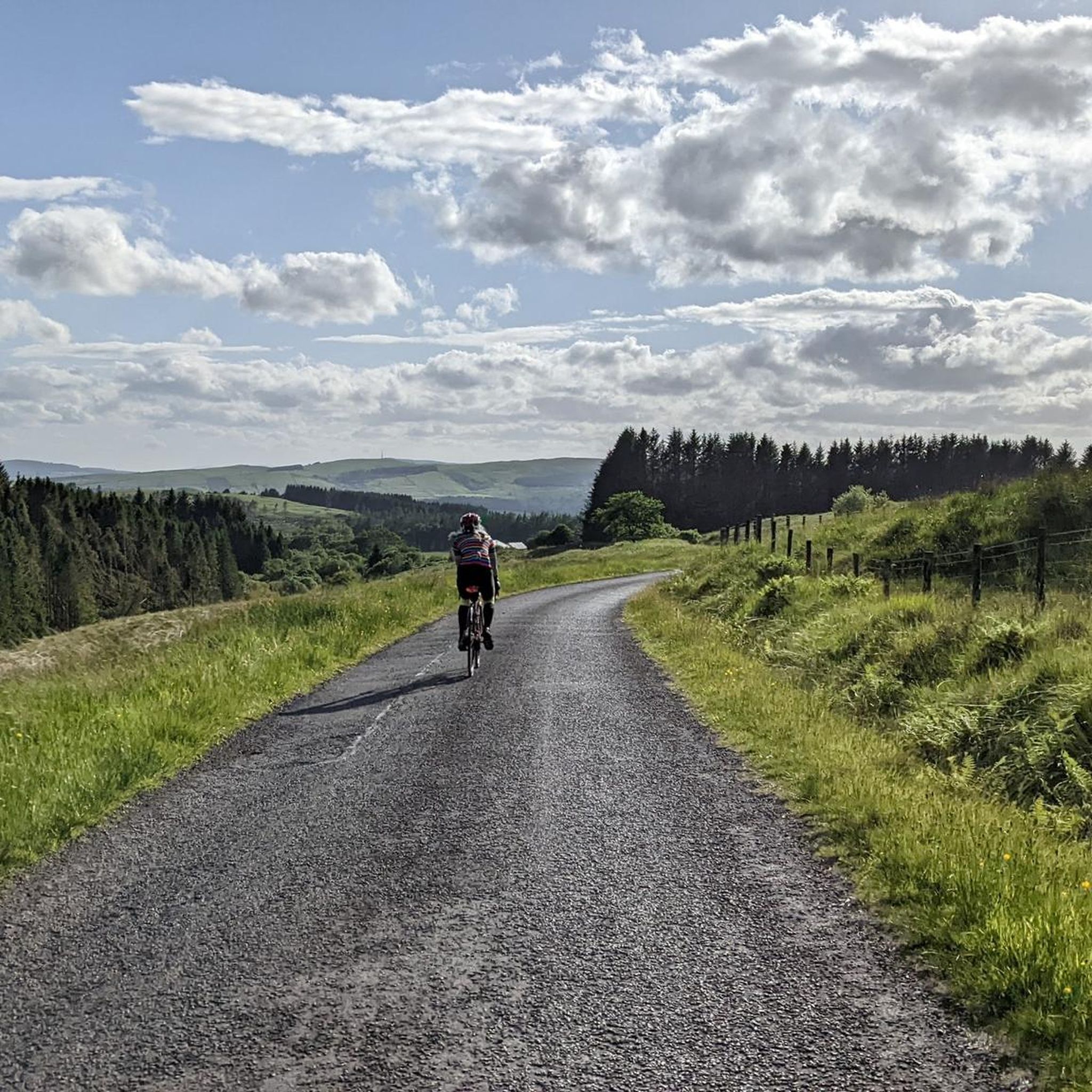
Great views of one of Dumfriesshire's many lochs. The road alongside is well paved and a pleasure to ride.
0
0

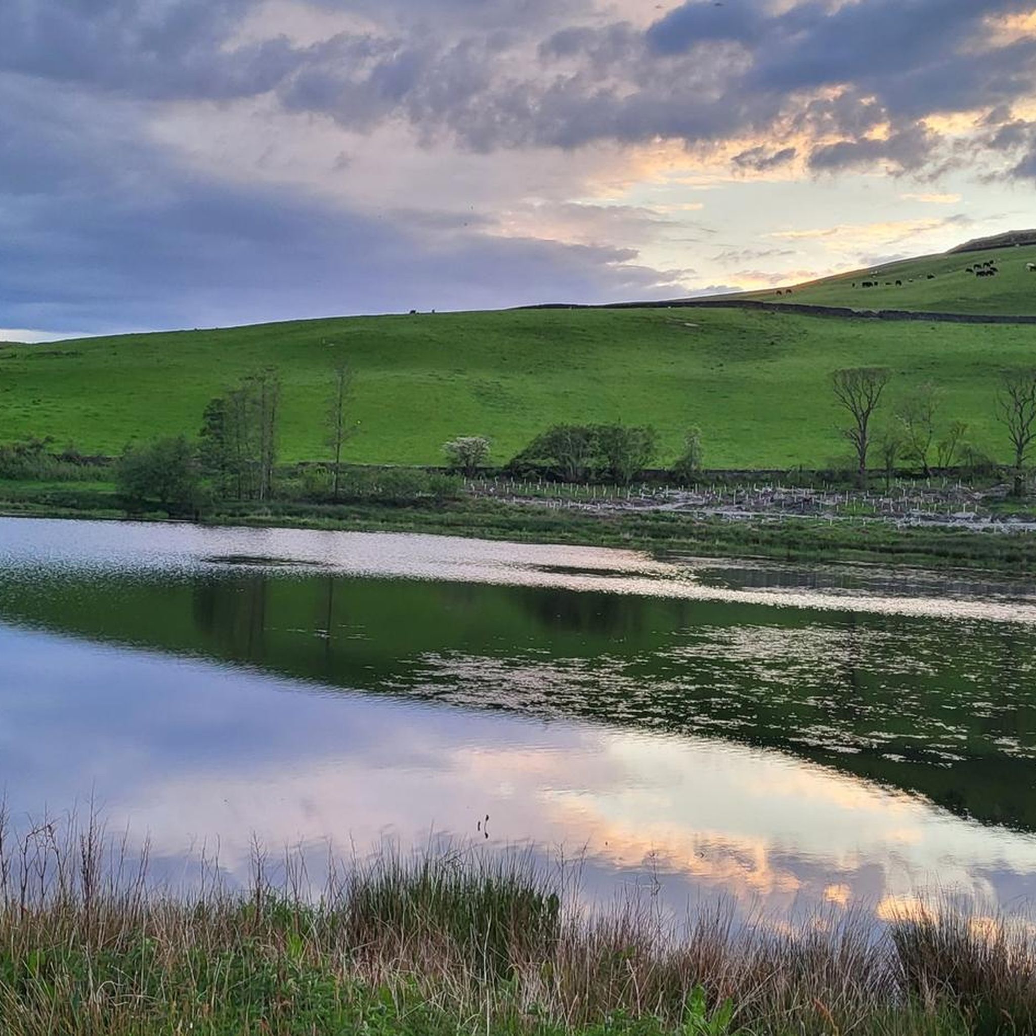
Great views in the evening and the walk along the river can be extended
0
0
Frequently Asked Questions
How many hiking trails are available around Dunscore?
There are over 35 hiking trails around Dunscore, offering a variety of options for different preferences and fitness levels. The region is known for its accessible routes through river valleys and rural landscapes.
What kind of terrain can I expect on hikes near Dunscore?
Hikes around Dunscore typically feature gentle elevation changes, following river paths, tranquil reservoirs, and rural farmland. The landscape is characterized by varied scenery, making it suitable for most fitness levels.
Are there easy hiking trails suitable for beginners or families in Dunscore?
Yes, Dunscore offers many easy trails perfect for beginners or families. Over 20 of the available routes are rated as easy. An example is the Hiking loop from Ellisland Farm, which is 4.5 miles (7.2 km) and takes about 1 hour 51 minutes to complete.
Are there any longer, more moderate hikes around Dunscore?
Yes, for those looking for a bit more challenge, there are 14 moderate trails. The River Nith – Kirkpatrick Macmillan Bridge loop from Dumfries is a popular moderate route, spanning 5.8 miles (9.3 km) and typically taking around 2 hours 24 minutes.
Are there any circular hiking routes in Dunscore?
Many of the trails in Dunscore are designed as circular routes, allowing you to start and finish at the same point. A great example is the Glenkiln Reservoir loop from Dumfries and Galloway, which offers scenic views around the reservoir.
What natural attractions can I see along the hiking trails?
The Dunscore area is rich in natural beauty. You can explore various lochs and reservoirs such as Glenkiln Reservoir, Clatteringshaws Loch, and Loch Urr. Many trails offer picturesque views of these water bodies and the surrounding hills.
Are there any waterfalls or scenic gorges to explore near Dunscore?
Yes, a notable natural attraction is the Crichope Linn Gorge and Waterfall, which offers a dramatic landscape to explore. It's a fantastic spot for those looking for a more rugged natural feature.
Can I bring my dog on the hiking trails near Dunscore?
Generally, dogs are welcome on most hiking trails in Scotland, provided they are kept under control, especially around livestock. Always follow the Scottish Outdoor Access Code. Many routes around Dunscore, particularly those through rural farmland and along river paths, are suitable for walks with your canine companion.
Where can I find parking for hiking trails in Dunscore?
While specific parking areas for every trail are not detailed, many trailheads in rural areas like Dunscore often have small car parks or roadside parking available. For popular routes, it's advisable to check the route description on komoot for specific parking suggestions or look for designated parking near local landmarks or villages.
What do other hikers enjoy most about hiking in Dunscore?
The hiking experience in Dunscore is highly rated by the komoot community, with an average score of 4.6 stars from over 50 reviews. Hikers often praise the tranquil atmosphere, the varied scenery of river valleys and reservoirs, and the accessibility of routes for different skill levels.
What is the best time of year to hike in Dunscore?
Spring and summer offer pleasant weather and lush green landscapes, ideal for enjoying the trails. Autumn brings beautiful colours to the region. While winter hiking is possible, be prepared for colder temperatures and potentially wet or icy conditions, especially on higher ground or shaded paths.
Are there any places to eat or drink near the hiking trails?
Dunscore and the surrounding villages in Dumfries and Galloway offer local pubs and cafes where you can refuel after a hike. These establishments often provide a warm welcome and local fare, though it's always a good idea to check opening times in advance, especially in more remote areas.
Most popular attractions around Dunscore

Get inspired with the komoot mobile app


Explore more
Browse the best Hikes in other regions.
