The best walks and hikes around Carsphairn
4.5
(359)
2,163
hikers
44
hikes
Hiking around Carsphairn offers diverse terrain within Dumfries and Galloway, characterized by prominent hills, tranquil lochs, and extensive forests. The region is nestled within the Galloway Forest Park and the UNESCO Galloway and Southern Ayrshire Biosphere, providing a rich natural environment. Hikers can explore challenging summits, scenic lochside paths, and peaceful woodland trails.
Best hiking trails around Carsphairn
- The most popular hiking route is Cairnsmore of Carsphairn Loop, a 7.4 miles (11.8 km) trail that takes 4 hours 27…
Last updated: September 27, 2026
5.0
(2)
72
hikers
11.8km
04:27
590m
590m
Embark on the Cairnsmore of Carsphairn Loop, a moderate hike covering 7.4 miles (11.8 km) with a significant ascent of 1936 feet (590 metres). You can expect to complete this…
4.8
(6)
79
hikers
16.8km
05:40
840m
830m
Embark on the Corserine, Millfire, and Meikle Millyea loop, a difficult hiking route that spans 10.4 miles (16.8 km) through the rugged landscape of Galloway. You will ascend 2745 feet…

4.7
(7)
33
hikers
5.96km
01:37
80m
80m
Embark on the easy Ness Glen Trail, a 3.7 miles (6.0 km) hike that guides you through a dramatic rock gorge. You will gain 259 feet (79 metres) in elevation…
4.6
(14)
85
hikers
Easy hike. Great for any fitness level. Easily-accessible paths. Suitable for all skill levels.
5.0
(1)
26
hikers
12.8km
04:28
660m
660m
Moderate hike. Good fitness required. Easily-accessible paths. Suitable for all skill levels.
Get access to more routes and recommendations from other explorers.
Already have an account?
Our route recommendations are based on thousands of hikes, rides, and runs completed by other people on komoot.
Start today with a free account
Your next adventure awaits.
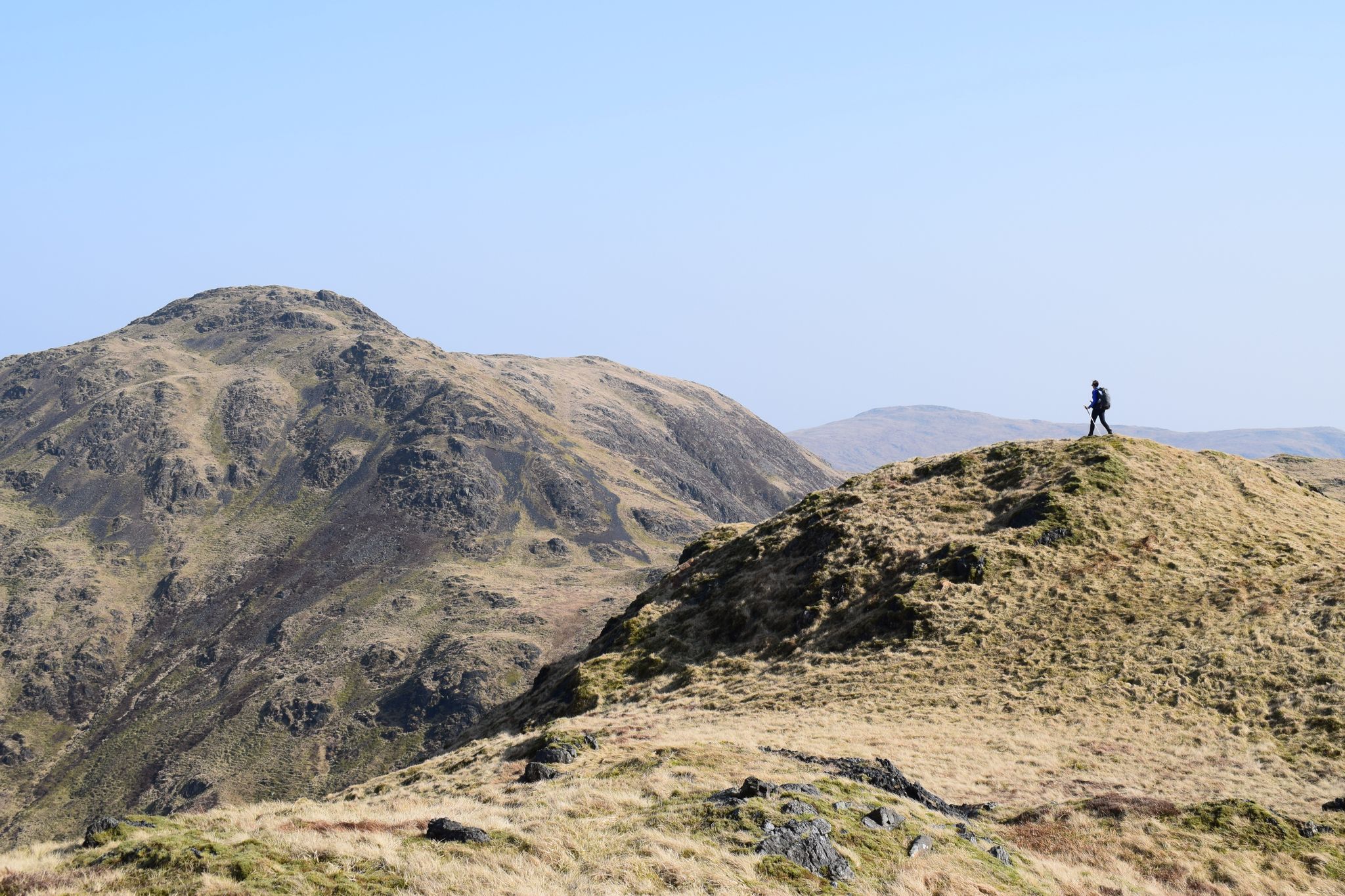
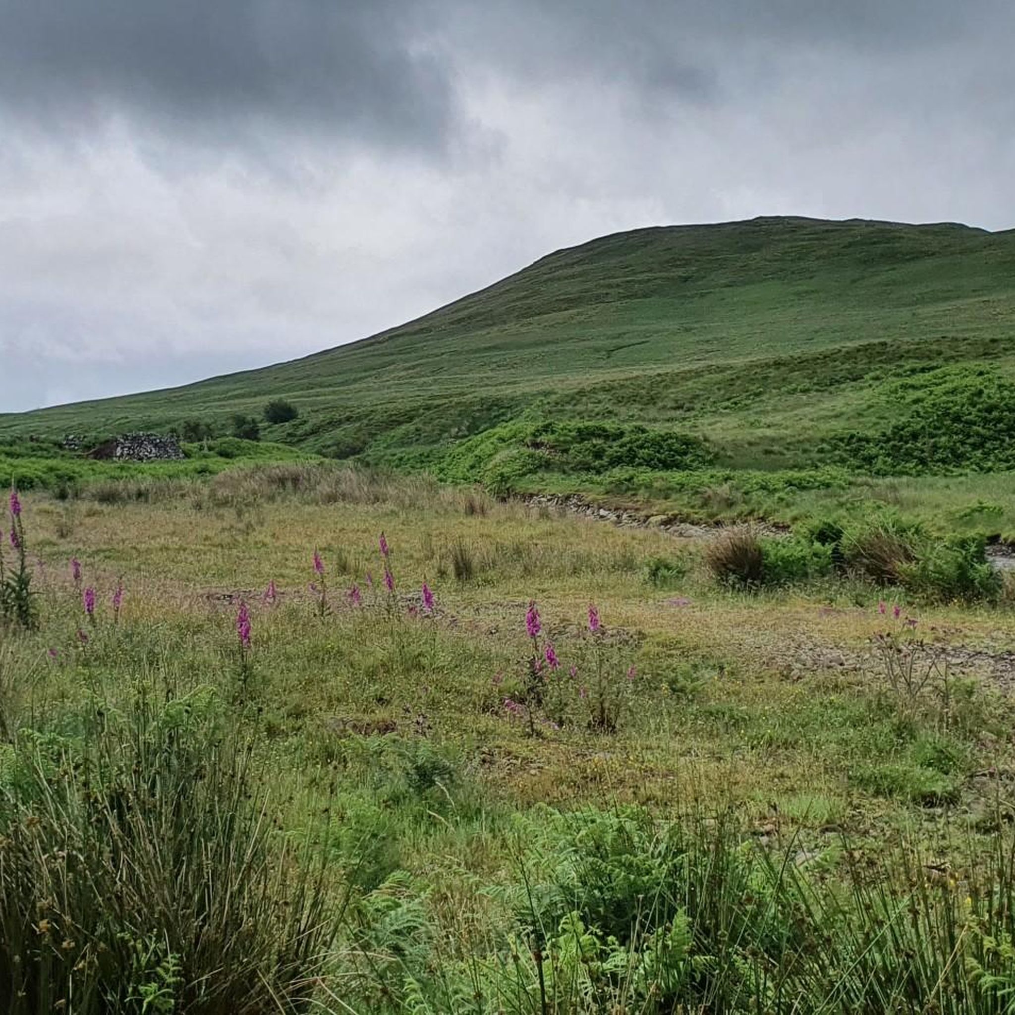
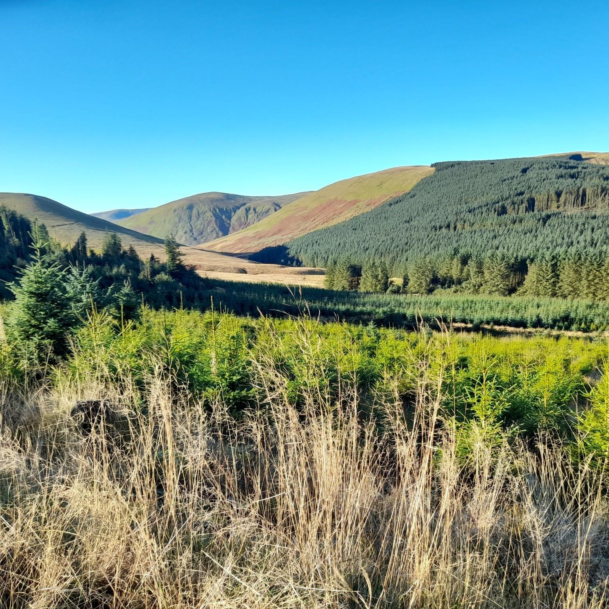
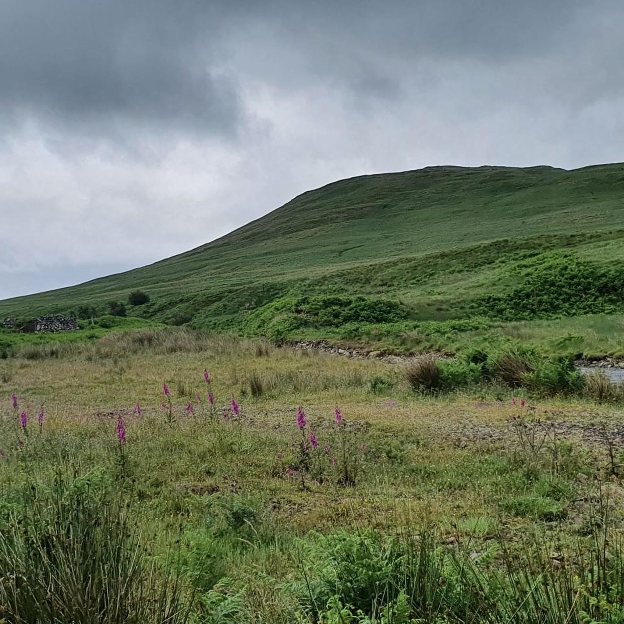
Other adventures around Carsphairn

Tips from the Community

The lower path is signed off as closed for the time being due to fallen trees/damage from the winter. However the path is still passable the the route isn't blocked so you can get past, do so at your own risk.
0
0

Not the most interesting Corbett in Galloway, let alone Scotland, still there's good views from the rounded grassy top. The rest of the hill is sheep grazed grassy upland, and is unrelentingly boggy
0
0
The views are great looking behind you if you are climbing, but in front you can see the full steep, boggy and uninteresting slog to the top. Not the most exciting way to the top of a hill - try the Black Shoulder instead
0
0

Enjoy unobstructed views out toward Galloway and the rugged Rinns of Kells, particularly lovely on a sunny day.
1
0
This beautiful grassy summit is the tallest in the northern Galloway range. After your short but steep climb, you'll be rewarded with stunning views toward southern Scotland.
1
0
Fantastic little cafe perched on the edge of the mighty Loch Doon, there's food, drinks, and breathtaking views.
1
0

Bit of a cloud-hugger this top - certainly compared to the other tops on the ridge and the surrounding tops.
1
0

The true summit of Meikle Millyea is disputed. Most class the trig pillar as the summit but some say the southwest top (southwest of the trig point) is slightly higher. If you're a pedant like me, visit both! Either way it's a hard earned hill, especially from the south where the terrain is largely rough and pathless.
2
1
Frequently Asked Questions
How many hiking trails are available around Carsphairn?
Carsphairn offers a wide variety of hiking experiences, with over 50 routes available. These range from easy strolls to challenging mountain ascents, ensuring options for all fitness levels.
What do other hikers enjoy most about the trails in Carsphairn?
The trails in Carsphairn are highly regarded by the komoot community, boasting an average rating of 4.5 stars from over 240 reviews. Hikers frequently praise the diverse terrain, from prominent hills to tranquil lochs and extensive forests, as well as the unspoiled natural beauty and panoramic views.
Are there hiking trails suitable for families with children?
Yes, Carsphairn has several easy trails perfect for families. For instance, the Kendoon Loch loop from Dundeugh Hill is an easy 4.2-mile (6.7 km) trail through scenic lochside and forest areas. The Loch Doon Castle Ruins loop is another easy option, offering a shorter walk with historical interest.
Can I bring my dog on the hiking trails in Carsphairn?
Many trails in Carsphairn are dog-friendly, especially those through forests and along lochs. Areas like Dundeugh Forest and Carsphairn Community Woodland are great for walks with your canine companion. However, always be mindful of livestock, especially during lambing season, and keep dogs on a lead where necessary.
Are there any challenging hikes for experienced trekkers?
Absolutely. Carsphairn is home to several challenging routes. The Corserine, Millfire, and Meikle Millyea loop is a difficult 10.4-mile (16.8 km) path traversing mountainous ridges with significant elevation gain. Another demanding option is the Corserine Summit loop from Burnhead Burn, offering a substantial climb and rewarding views.
What kind of natural features or landmarks can I expect to see on the trails?
Carsphairn's trails showcase a rich tapestry of natural beauty. You can explore prominent peaks like Cairnsmore of Carsphairn Summit, offering panoramic views, or discover serene lochs such as Loch Trool and Loch Dee. The area is also part of the Galloway Forest Park, providing extensive woodlands and opportunities for wildlife spotting.
Are there any historical sites or points of interest along the hiking routes?
Yes, the region is rich in history. You can visit the relocated Loch Doon Castle ruins, which are accessible via the Loch Doon Castle Ruins loop. Other historical points include ancient Iron Age mottes and old cairns like the King's Cairn. The Bruce's Stone Memorial near Loch Trool also marks a significant historical event.
Are there circular hiking routes available?
Many of Carsphairn's trails are designed as loops, allowing you to start and end at the same point. Popular circular routes include the Cairnsmore of Carsphairn Loop, the challenging Corserine, Millfire, and Meikle Millyea loop, and the easier Kendoon Loch loop from Dundeugh Hill.
What wildlife can I expect to see while hiking in Carsphairn?
Carsphairn is a haven for wildlife. Hikers often spot mountain hares, red deer, and various bird species, including golden eagles and ospreys, especially around the hills and lochs. The vibrant wildlife adds an extra dimension to your outdoor experience.
Is Carsphairn a good place for stargazing after a hike?
Absolutely. Carsphairn is located within the Galloway Forest Park, which is a designated Dark Sky Park. This means it offers exceptional stargazing opportunities, with minimal light pollution, and even the chance to witness the aurora borealis on clear nights.
What is the best time of year to go hiking in Carsphairn?
Spring and autumn offer pleasant temperatures and stunning scenery, with wildflowers in spring and vibrant foliage in autumn. Summer provides longer daylight hours, while winter can offer dramatic, snow-covered landscapes for experienced hikers, though conditions can be challenging. Always check local weather forecasts before heading out.
Are there any trails that lead to prominent summits with extensive views?
Yes, the region is known for its impressive summits. The Cairnsmore of Carsphairn Loop takes you to a prominent grassy summit offering panoramic vistas towards the Rhinns of Kells, the Solway, and even Ayr, Arran, and Ailsa Craig. The Merrick, the highest summit in Southern Scotland, also provides challenging hikes and theoretically the longest line of sight in Britain.
Most popular attractions around Carsphairn

Get inspired with the komoot mobile app


Explore more
Browse the best Hikes in other regions.
