The best walks and hikes around Fintray
4.4
(151)
1,984
hikers
143
hikes
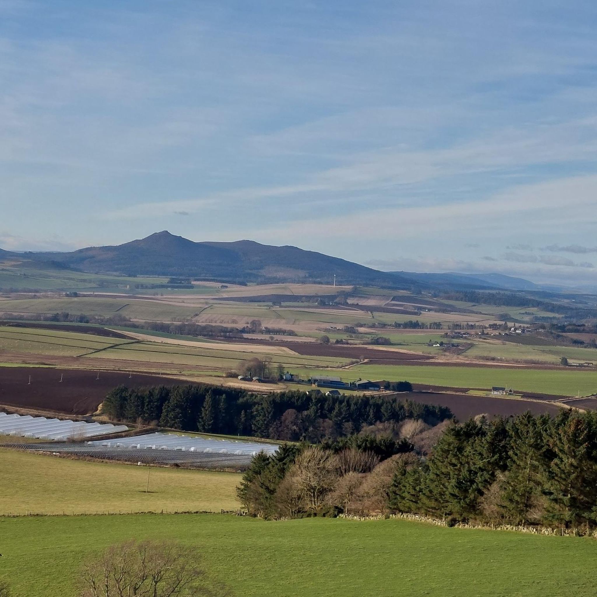
Hikes around Fintray explore the rolling agricultural landscape of Aberdeenshire. The region is characterized by a network of paths through farmland, pockets of woodland, and routes connecting to nearby historical sites. The terrain is generally composed of low hills and gentle gradients, making it accessible for varied walking abilities.
Best hiking trails around Fintray
- The most popular hiking route is the Tappie Tower loop from Tyrebagger Hill Stone Circle, a 4.5 mile (7.2 km) trail that takes about 2 hours to complete. This moderate hike includes an ascent to the Tappie Tower, which provides views across the surrounding area.
- Another top favourite among local hiking enthusiasts is the Lairshill Standing Stone loop from Newmachar, an easy 4.5 mile (7.2 km) path. The route follows quiet tracks and leads to the ancient Lairshill Standing Stone.
- Local hiking enthusiasts also love the Hallforest Castle Ruins loop from Kintore, a 2.2 mile (3.5 km) trail leading through farmland, often completed in about 55 minutes.
- Hiking around Fintray is defined by its mix of forest tracks, paths through open fields, and routes to historical landmarks like castles and standing stones. The network of walking trails near Fintray offers options suitable for different fitness levels, from short, easy walks to more moderate circuits.
- The routes in Fintray are highly rated by the komoot community with an average score of 4.4 stars from more than 130 reviews. More than 2,000 hikers have used komoot to explore Fintray's varied terrain.
Last updated: June 25, 2026
4.3
(3)
22
hikers
Moderate hike. Good fitness required. Easily-accessible paths. Suitable for all skill levels.
5.0
(1)
8
hikers
7.23km
01:55
70m
70m
Easy hike. Great for any fitness level. Easily-accessible paths. Suitable for all skill levels.

Sign up for free
14
hikers
3.51km
00:55
20m
20m
Easy hike. Great for any fitness level. Easily-accessible paths. Suitable for all skill levels.
6
hikers
Easy hike. Great for any fitness level. Easily-accessible paths. Suitable for all skill levels.
5.0
(1)
5
hikers
9.64km
02:47
250m
250m
Moderate hike. Good fitness required. Easily-accessible paths. Suitable for all skill levels.
Get access to more routes and recommendations from other explorers.
Sign up for free
Already have an account?
Our route recommendations are based on thousands of hikes, rides, and runs completed by other people on komoot.
Start today with a free account
Your next adventure awaits.
Login or Signup

Tips from the Community

Don't miss Cafe 21! Nestled at the station, it's the perfect spot for coffee and delicious bites. Enjoy the relaxed atmosphere in the newly renovated cafe or the covered outdoor seating area. You can choose to dine in or take away, and enjoy the local flavors at this gem in the heart of Dyce.
0
0

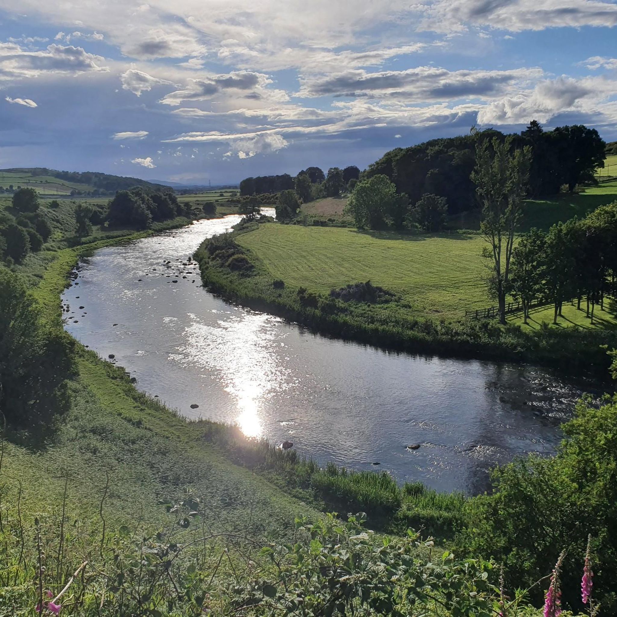
Lovely indoor and outdoor seating with views over the River Don. Order at the bar. Pizza, burgers, Sunday roast, cakes and coffee.
0
0

Tappie Tower sits at the top of Tyrebagger hill. A popular woodland with locals and dog walkers, there are many routes through these peaceful woods. From the top of the tower further views can be seen of Aberdeen and to the shire in the west.
0
0
Easily accessible from Kintore, tarmac and farm track to access the castle in the field. Thought to be built by Robert the Bruce, the castle was once a hunting lodge for the nearby forest.
0
0

On the summit of Tyrebagger Hill is a cyclindrical stone viewing tower with a spiral stairway. It was built as a folly in the nineteenth century by a Dr William Henderson to mark the highest point of his landholdings.
1
0

This is only 2 miles outside Newmachar - a treasure of a find. There are two ways to get access to the stone as you approach it. One involves hiking through a field of long grass, which is quicker but wetter. The other is through a field further along but a track has been made. You still have to go through long grass from this end at the end of the path. The stone sits on the crest of the hill and you have to climb onto the surrounding rocks to get a close look at it. No Pictish symbols sadly, most likely for to erosion from acid rain which is to blame for the damage of many standing stones. It's still nice to see
0
0
Frequently Asked Questions
Are there many hiking trails to choose from around Fintray?
Yes, there are over 150 hiking routes to explore in the Fintray area. The landscape is defined by rolling agricultural land, quiet woodlands, and paths connecting to historical sites, offering plenty of variety for walkers.
What do other hikers think of the trails in Fintray?
The trails around Fintray are highly rated by the komoot community, with an average score of 4.4 stars. Hikers often praise the mix of forest tracks, paths through open fields, and routes leading to interesting historical landmarks.
Are there any good circular walks in the area?
Absolutely. Many routes are loops that bring you back to your starting point. A great example is the Hallforest Castle Ruins loop from Kintore. It's a short, easy walk through farmland that takes you to the historic castle ruins.
Can I take my dog on the trails around Fintray?
Yes, many trails are suitable for dog walking. However, since many routes pass through active farmland, it's important to keep your dog on a lead, especially around livestock. Always be mindful of local signage and respect the countryside code.
Are there any family-friendly or easy hikes near Fintray?
The region has numerous easy walks perfect for a family outing. A popular choice is the Cafe Twentyone loop from Dyce, a gentle path that offers a pleasant stroll. The terrain in the area generally features low hills and gentle gradients, making it very accessible.
Where can I find good views while hiking?
For panoramic views across Aberdeenshire, head to Kirkhill Forest. This popular local spot has a network of trails, including one that leads up to a tower with scenic views of the surrounding landscape. It's a favorite for walking and cycling.
Are there any longer, more challenging hikes available?
Yes, for those looking for a longer day out, there are more substantial routes. The Battle of Inverurie Memorial loop from Kintore is a moderate hike of about 15 km that takes you through varied terrain and past a significant historical site.
What are some popular places for hiking near Fintray?
A highly regarded spot is Kirkhill Forest, known for its excellent trails for walking and cycling, plus a tower offering scenic views. It's a great destination for a day in nature.
Where can I find parking for the trails?
Many of the popular trailheads have dedicated parking areas. For example, the trail to Tappie Tower starts from a car park at Tyrebagger Hill, which is located right by the start of the path, making access very convenient.
Are there any routes that feature historical landmarks?
Yes, the area is rich with history. You can hike to ancient sites like the Lairshill Standing Stone. The Lairshill Standing Stone loop from Newmachar is an easy walk that follows quiet tracks directly to this fascinating monument.
What is the terrain like for hiking in Fintray?
The terrain is generally composed of low hills and gentle gradients. You'll encounter a mix of well-maintained forest tracks, paths through open farmland, and quiet country lanes. Most routes are considered easy or moderate, making it an accessible region for most walkers.
Most popular attractions around Fintray

Get inspired with the komoot mobile app


Explore more
Browse the best Hikes in other regions.
