The best running trails around Bennachie
4.8
(6)
1,030
runners
77
runs
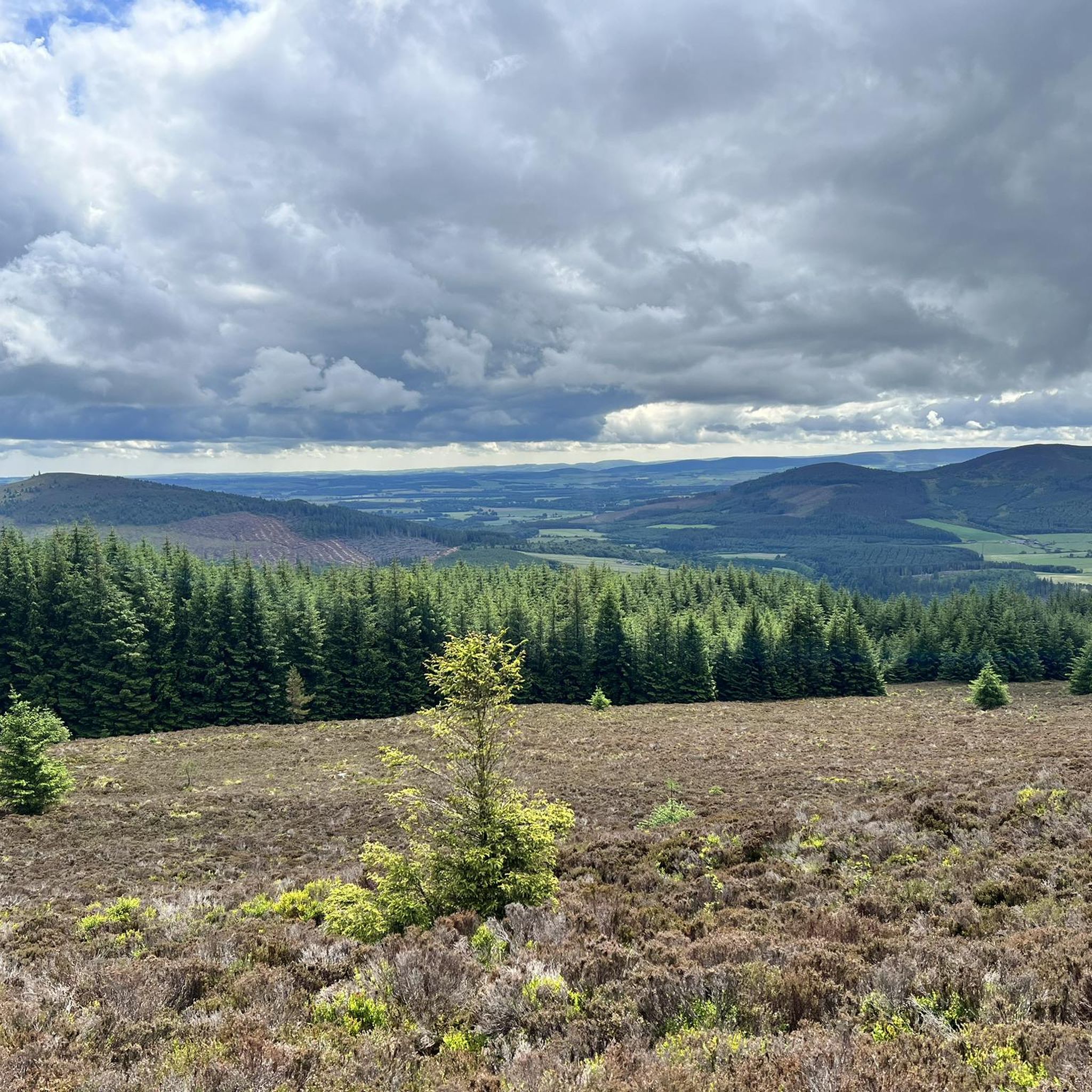
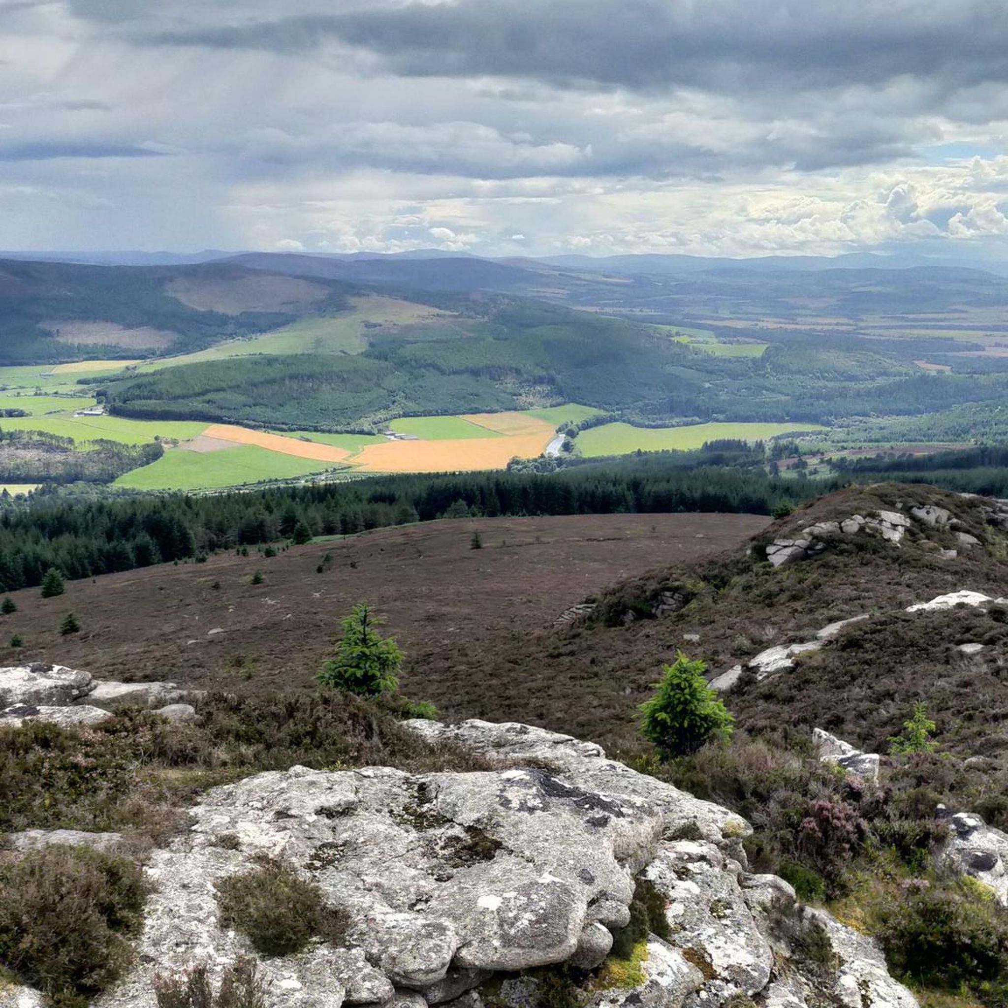
Jogging around Bennachie offers a diverse landscape characterized by distinct hills, woodlands, and open moorland. The region features several prominent peaks, including Oxen Craig and Little Oxen Craig, providing varied elevation changes for runners. Trails often wind through forested areas and offer views across the surrounding Aberdeenshire countryside. This area provides a mix of challenging ascents and more gradual paths suitable for different running preferences.
Best jogging routes around Bennachie
- The most popular jogging route is Bennachie Visitor Centre – View from Little Oxen Craig loop from Dr Danny Gordon's Widdie, a 10.2 miles (16.4 km) trail that takes about 2 hours to complete. This difficult route includes significant elevation gain and offers panoramic views from Little Oxen Craig.
- Another top favourite among local runners is Oxen Craig Summit loop from The Maiden Stone, a difficult 8.0 miles (12.8 km) path. This route ascends to the Oxen Craig Summit, providing a challenging climb through varied terrain.
- Local runners also love the Oxen Craig Summit – Oxen Craig loop from Oyne, a 7.8 miles (12.5 km) trail leading through woodlands and up to the Oxen Craig Summit, often completed in about 1 hour 38 minutes.
- Jogging around Bennachie is defined by its prominent hills, dense woodlands, and open moorland. The network offers options for different ability levels, from easier paths to challenging hill running routes.
- The routes in Bennachie are highly rated by the komoot community with an average score of 4.8 stars from around 5 reviews. More than 1000 runners have used komoot to explore Bennachie's varied terrain.
Last updated: June 25, 2026
73
runners
Hard run. Very good fitness required. Mostly paved surfaces. Suitable for all skill levels.
57
runners
12.8km
01:41
470m
470m
Hard run. Very good fitness required. Mostly paved surfaces. Suitable for all skill levels.

Sign up for free
57
runners
12.5km
01:38
460m
460m
Hard run. Very good fitness required. Mostly paved surfaces. Suitable for all skill levels.
56
runners
19.3km
02:03
220m
220m
Hard run. Very good fitness required. Mostly paved surfaces. Suitable for all skill levels.
36
runners
13.8km
01:43
510m
510m
Hard run. Very good fitness required. Mostly paved surfaces. Suitable for all skill levels.
Get access to more routes and recommendations from other explorers.
Sign up for free
Already have an account?
Our route recommendations are based on thousands of hikes, rides, and runs completed by other people on komoot.
Start today with a free account
Your next adventure awaits.
Login or Signup

Tips from the Community

You can still see evidence of the quarry that operated here around 1800. Nearby properties were built from the local granite.
0
0
Many people focus on the distinctive Mither Tap. However, this is actually the highest point on Bennachie. There are a number of peaks to explore up on Bennachie.
0
0

The name gowk stane (English: cuckoo stone or fool's stone) has been applied to certain standing stones and glacial erratics in Scotland, often found in prominent geographical situations. - https://en.wikipedia.org/wiki/Gowk_stane
0
0

This is slightly off the track and has a solid and well built picnic bench where it is nice to have a warm drink on a cold day ad snack or a dip of your feet on a warm day. The area is well sheltered by trees. There is also lots of lovely wildlife to spot.
0
0
The perfect half way spot for a wild cup of tea. There is a lovely tree canopy that shelters you from the elements if need be. I also managed to lie on the forest floor and listen to the trees swaying.
0
0


There is a pond just off the main path. A lovely space for a break and a picnic. It's just a few minutes' walk from the visitor centre.
0
0
Frequently Asked Questions
How many running routes are available around Bennachie?
There are over 80 dedicated running routes around Bennachie, offering a wide range of experiences. These include 4 easy routes, 27 moderate routes, and 49 challenging options for more experienced runners.
Are there any easy or beginner-friendly jogging routes in Bennachie?
Yes, Bennachie offers 4 easy jogging routes suitable for beginners or those looking for a less strenuous run. These paths typically feature more gradual inclines and well-maintained surfaces, allowing for a comfortable experience amidst the scenic woodlands.
Can I find challenging trail running routes in the Bennachie area?
Absolutely. Bennachie is well-known for its challenging terrain, with 49 difficult routes available. These often involve significant elevation gains and varied surfaces, leading to prominent peaks like Oxen Craig. An example is the Polinar Dam loop from Pitcaple, which covers 19.1 km with notable elevation changes.
Are there any circular jogging routes around Bennachie?
Many of the running routes in Bennachie are designed as loops, allowing you to start and finish at the same point. For instance, the challenging Oxen Craig Summit loop from The Maiden Stone is an 8-mile circular path that takes you to the summit and back.
What kind of viewpoints can I expect on the running trails?
Bennachie's trails offer numerous opportunities for stunning views across the Aberdeenshire countryside. Many routes ascend to peaks like Oxen Craig, providing panoramic vistas. You can also find specific viewpoints such as the Oxen Craig Summit or the historic Dunnideer Hill Fort Ruins, which offer excellent vantage points.
What do other runners say about jogging in Bennachie?
The running routes in Bennachie are highly rated by the komoot community, holding an average score of 4.8 stars from over 5 reviews. Runners often praise the diverse landscape, the mix of challenging ascents and more gradual paths, and the rewarding views from the hilltops.
Are there any historical or natural landmarks to see along the running routes?
Yes, Bennachie is rich in both natural and historical landmarks. Along your run, you might encounter ancient sites like the Mither Tap hillfort summit or the intriguing East Aquhorthies Stone Circle. The region also features unique natural formations such as the Gowk Stane.
What are the typical distances and durations for running routes in Bennachie?
Running routes in Bennachie vary significantly in length and time. For example, the challenging Bennachie Visitor Centre – View from Little Oxen Craig loop is 16.4 km (10.2 miles) and typically takes about 2 hours. Shorter, easier routes are also available for quicker runs.
What are the best times of year to go jogging in Bennachie?
Spring and autumn generally offer the most pleasant conditions for jogging in Bennachie, with milder temperatures and beautiful scenery as the foliage changes. Summer can be excellent, but be prepared for potentially warmer weather. Winter running is possible, but trails can be icy or muddy, especially at higher elevations, requiring appropriate gear and caution.
Are there any specific routes that lead to the Oxen Craig Summit?
Yes, several routes lead to the prominent Oxen Craig Summit, offering rewarding views. A popular option is the Oxen Craig Summit – Oxen Craig loop from Oyne, a 12.5 km (7.8 miles) trail that guides you through woodlands and up to the summit.
Where can I find parking for the Bennachie jogging trails?
Parking is available at various access points around Bennachie, including the Bennachie Visitor Centre. Other common starting points for routes, such as 'The Maiden Stone' or 'The Colony', also typically have designated parking areas. It's advisable to check specific route details for the most convenient parking.
Most popular routes around Bennachie
Most popular attractions around Bennachie

Get inspired with the komoot mobile app


Explore more
Browse the best Running Trails & Routes in other regions.
