The best road cycling routes in Schöllkrippener Forst
4.7
(400)
5,072
riders
119
rides
Road cycling in Schöllkrippener Forst offers diverse landscapes within the northern Bavarian Spessart. The region is characterized by dense forests, undulating hills, and valleys, with elevations ranging from 281 meters to 520 meters. Key district roads like AB 19 and AB 20 provide accessible, mostly paved surfaces suitable for road bikes. This topography ensures a mix of climbs and descents, catering to various cycling preferences.
Best road cycling routes in Schöllkrippener Forst
- The most popular road cycling route is Kilianus…
Last updated: July 15, 2026
14
riders
Moderate road ride. Great for any fitness level. Some segments of this route may be unpaved and difficult to ride.
12
riders
Easy road ride. Great for any fitness level. Mostly well-paved surfaces and easy to ride.

Sign up for free
4.3
(8)
99
riders
75.7km
03:48
1,230m
1,230m
Hard road ride. Very good fitness required. Mostly well-paved surfaces and easy to ride.
4.9
(15)
98
riders
42.8km
02:07
660m
660m
Moderate road ride. Good fitness required. Some segments of this route may be unpaved and difficult to ride.
5.0
(1)
78
riders
53.7km
02:29
630m
630m
Moderate road ride. Good fitness required. Mostly well-paved surfaces and easy to ride.
Get access to more routes and recommendations from other explorers.
Sign up for free
Already have an account?
Our route recommendations are based on thousands of hikes, rides, and runs completed by other people on komoot.
Start today with a free account
Your next adventure awaits.
Login or Signup
Tips from the Community

A new cycle path is being built here.
0
0
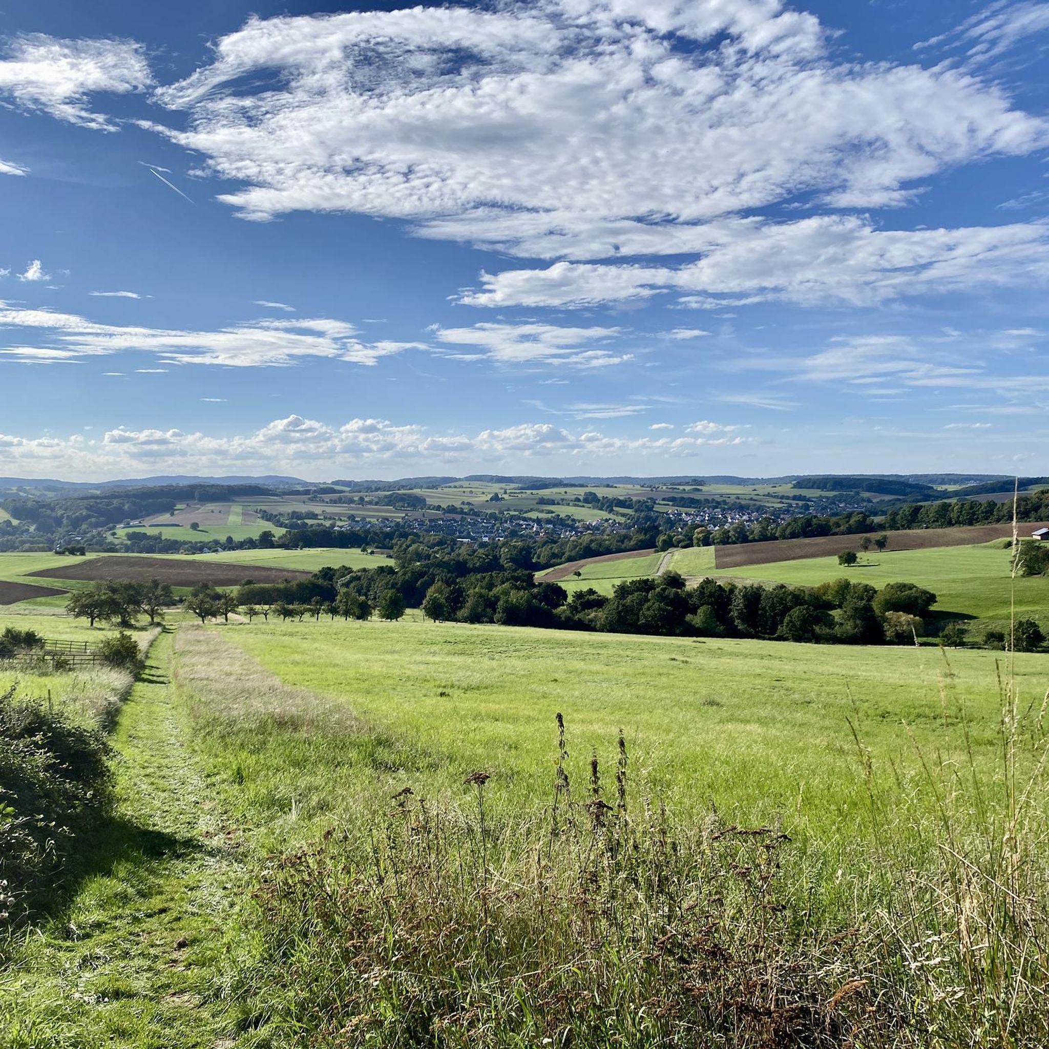
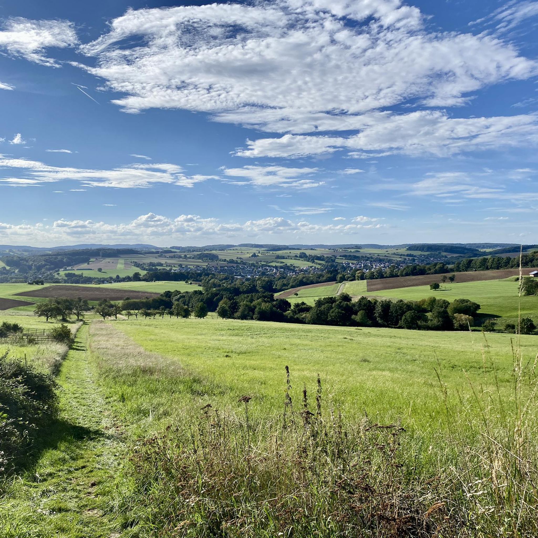
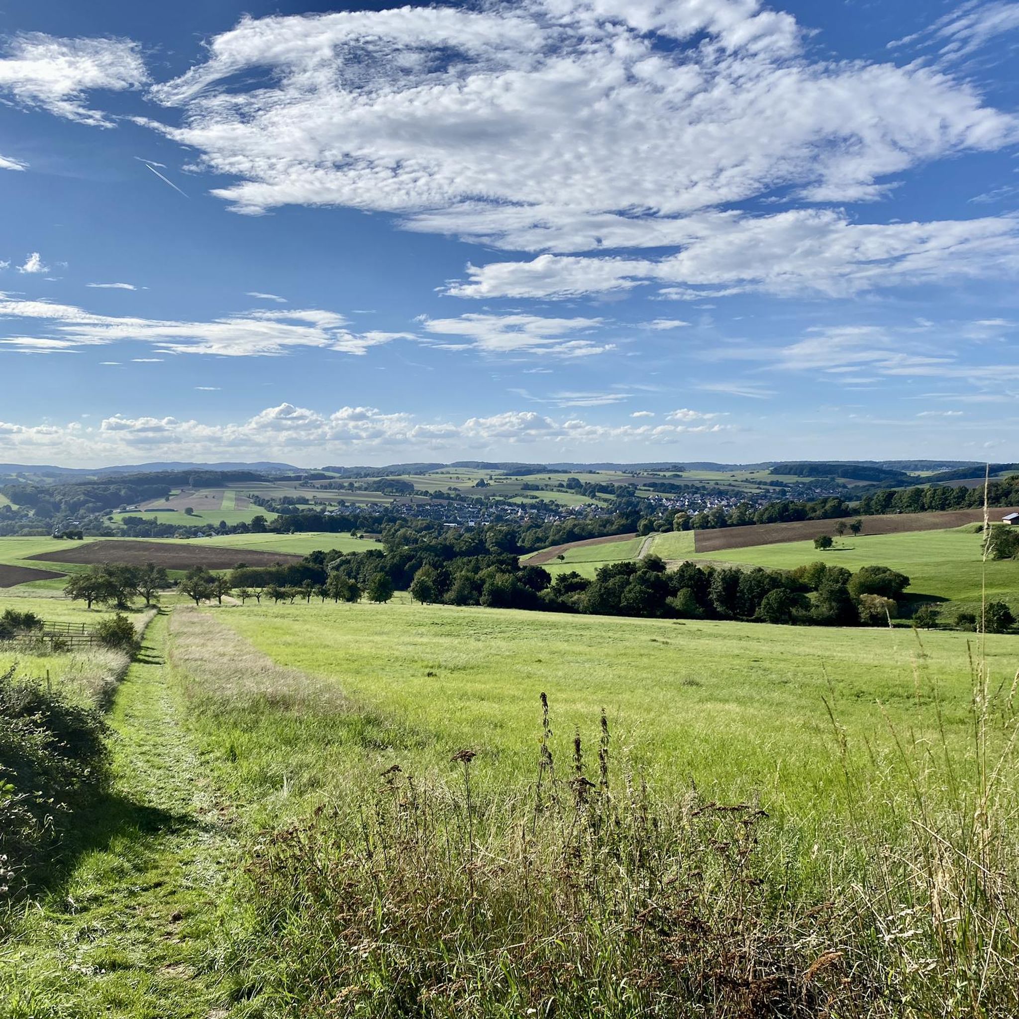
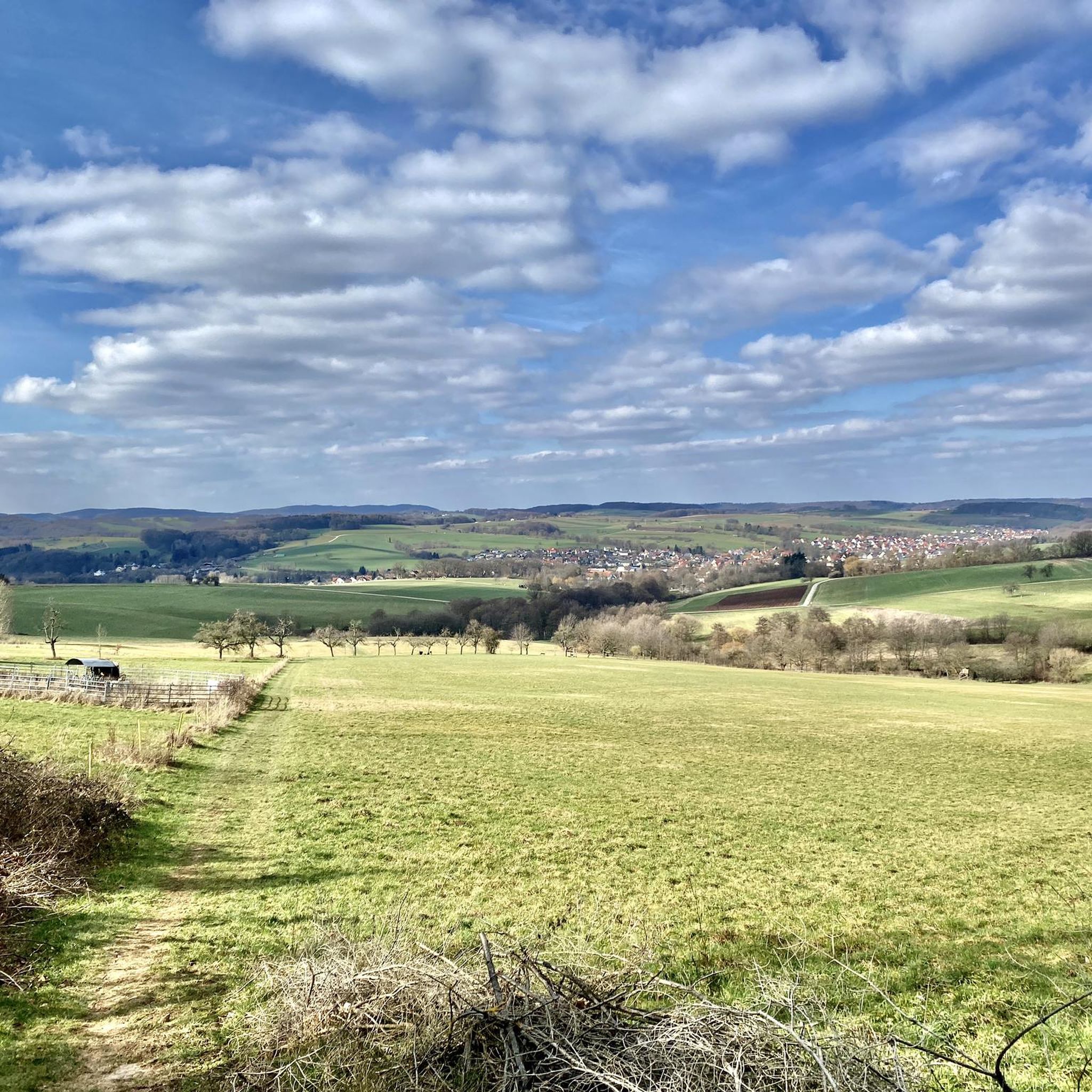
Wonderful view under a bright blue sky.
0
0
Here it goes down to Blankenbach.
0
0
At the ski lift of Jakobstal.
0
0

Until January 31, 2020, the geographical center of the EU was located in Westerngrund. Now this center is in Gadheim near Veitshöchheim, still in Lower Franconia.
2
0
No drinking water. The helicopter 🚁 is around the corner.
0
0
This was the route used to go up around the Hahnenkamm.
0
0
Frequently Asked Questions
How many road cycling routes are available in Schöllkrippener Forst?
Schöllkrippener Forst offers a wide selection of road cycling routes, with over 120 tours available. These routes cater to various skill levels, including easy, moderate, and difficult options.
What kind of terrain can I expect on road cycling routes in Schöllkrippener Forst?
The region is characterized by diverse landscapes, including dense forests, undulating hills, and valleys. Elevations range from 281 meters to 520 meters, providing a mix of climbs and descents. Key district roads like AB 19 and the scenic AB 20 (Spessart-Höhenstraße) ensure mostly paved surfaces ideal for road bikes.
Are there challenging road cycling routes for experienced riders in Schöllkrippener Forst?
Yes, for experienced riders seeking a challenge, Schöllkrippener Forst offers 24 difficult road cycling routes. An example is the Forest Inn "Zum Engländer" – Hafenlohrtal Nature Reserve loop from Schöllkrippen, which covers nearly 74 km with significant elevation changes.
Are there easier road cycling options suitable for beginners or families?
Absolutely. Schöllkrippener Forst has 14 easy road cycling routes, perfect for beginners or families looking for a more relaxed ride. The nearby Kahl River cycle path also offers an easily navigable and family-friendly route.
What natural features or landmarks can I see while road cycling in the region?
While cycling, you can encounter natural springs like the Kleinkahlquelle and the renatured Kafloosquelle. The region also features a small 'Felsenmeer' (sea of rocks) on the northeastern slope of the Reuschberg. For specific natural monuments, consider visiting the Luitpold Oak or the Giant Silver Firs at Engländer.
Are there any specific viewpoints or observation towers along the routes?
Yes, the Eselsweg at Waldhaus Engländer is a popular spot, and the Aussichtsturm Rodfeldturm (Rödfeld Tower Observation Deck) offers expansive panoramic views that stretch as far as the Taunus mountains and Ronneburg Castle.
Where can I find parking for road cycling in Schöllkrippener Forst?
While specific parking locations are not detailed in the route information, the presence of district roads and popular starting points like Kleinkahl and Schöllkrippen suggests that parking facilities are generally available in these towns or at trailheads. Dr. Karl Kihn-Platz is also a known rest area.
Is public transport available to reach the road cycling routes?
The region is accessible, but specific public transport connections directly to trailheads for road cycling are not explicitly detailed. It is advisable to check local bus or train schedules to nearby towns like Schöllkrippen or Kleinkahl and plan your route from there.
Are there any circular road cycling routes in Schöllkrippener Forst?
Many of the road cycling routes in Schöllkrippener Forst are designed as loops, offering a comprehensive experience of the region without retracing your path. Examples include the Kilianus Bridge – Alzenau Castle loop from Kleinkahl and the Börnchen Drinking Fountain – St. Luke's Chapel, Schöllkrippen loop from Kleinkahl.
What is the best time of year for road cycling in Schöllkrippener Forst?
Road cycling is popular during July and August, suggesting that late spring, summer, and early autumn offer the most favorable conditions. The dense forests provide shade during warmer months, and the paved surfaces are generally well-maintained year-round.
Are there places to stop for refreshments or a meal along the road cycling routes?
Yes, you can find places to stop for refreshments. The Forest Inn "Zum Engländer" is a notable spot, and the Rodberg Hut also offers a place to rest. Towns like Schöllkrippen and Kleinkahl provide additional options for cafes and restaurants.
What do other road cyclists say about their experience in Schöllkrippener Forst?
The road cycling routes in Schöllkrippener Forst are highly rated by the komoot community, with an average score of 4.7 stars from over 300 reviews. Reviewers often praise the varied terrain, the tranquility of the dense woodlands, and the well-maintained district roads that make for enjoyable rides.
Can I find historical sites along the road cycling routes?
Yes, the region has historical significance. On the summit of the Reuschberg, you can find the remains of Burgstall Altenburg, a medieval hilltop castle. Near Röderhof, an old sandstone quarry has been designated as a natural monument, and south of Bamberger Mühle are the ruins of the Epstein glassworks.
Most popular routes in Schöllkrippener Forst
Most popular attractions in Schöllkrippener Forst

Get inspired with the komoot mobile app


Explore more
Browse the best Road cycling routes in other regions.
