The best road cycling routes in Waldaschaffer Forst
4.6
(482)
7,025
riders
153
rides
Road cycling in Waldaschaffer Forst offers routes through expansive forested landscapes within the Bavarian Spessart region. The area is characterized by dense mixed woodlands, including oaks and beeches, and features varied terrain with elevations up to 483 meters at the Steinberg. A network of predominantly paved state and district roads provides accessible surfaces for cyclists. Rivers like the Aschaff and Autenbach also wind through the area, contributing to the natural scenery.
Best road cycling routes in Waldaschaffer Forst
- The most…
Last updated: July 1, 2026
4.9
(8)
73
riders
46.8km
02:18
570m
570m
Moderate road ride. Good fitness required. Mostly well-paved surfaces and easy to ride.
5.0
(1)
26
riders
23.6km
01:03
140m
140m
Moderate road ride. Great for any fitness level. Some segments of this route may be unpaved and difficult to ride.

Sign up for free
3.0
(1)
13
riders
41.0km
01:58
410m
410m
Moderate road ride. Good fitness required. Mostly well-paved surfaces and easy to ride.
8
riders
56.2km
02:37
680m
680m
Moderate road ride. Good fitness required. Some segments of this route may be unpaved and difficult to ride.
9
riders
34.3km
01:34
360m
360m
Moderate road ride. Good fitness required. Mostly well-paved surfaces and easy to ride.
Get access to more routes and recommendations from other explorers.
Sign up for free
Already have an account?
Our route recommendations are based on thousands of hikes, rides, and runs completed by other people on komoot.
Start today with a free account
Your next adventure awaits.
Login or Signup
Tips from the Community

Here you can safely store your bike.
0
0
Hösbach Sand station.
0
0
A new cycle path is being built here.
0
0

Super ascent or descent. The gradient percentages stay in the moderate range with a maximum of 8% and the asphalt is quite okay to ride on. In summer, you have to be a bit careful with the play of shadows caused by the sunlight filtering through the treetops. Here and there, you might otherwise overlook a small pothole in the asphalt or a crack/longitudinal joint in the road surface.
1
0
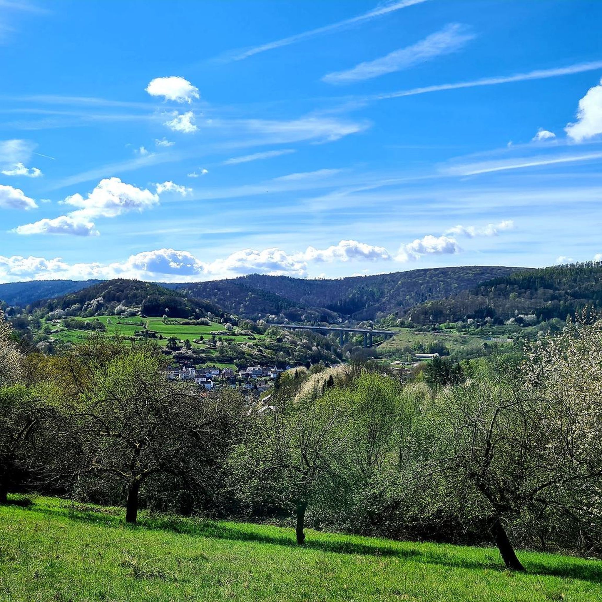
Wonderful view under a bright blue sky.
0
0
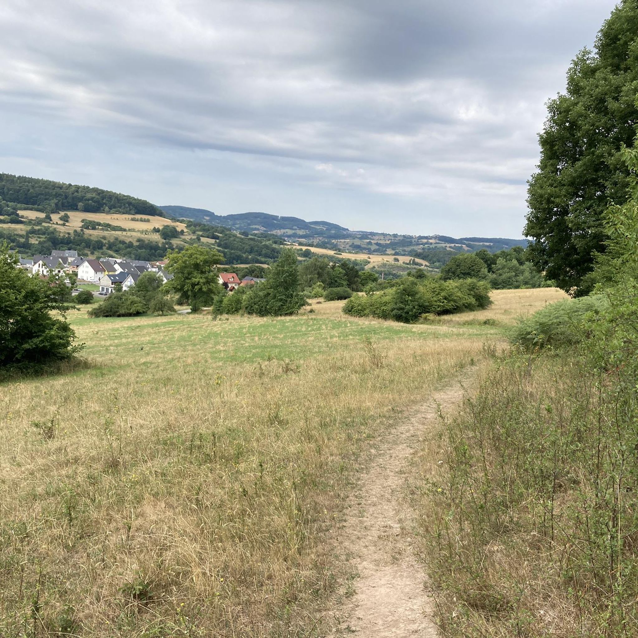
Here it goes down to Blankenbach.
0
0
Beautiful old church ⛪️, it has something special.
0
0

Frequently Asked Questions
How many road cycling routes are available in Waldaschaffer Forst?
There are over 150 road cycling routes in Waldaschaffer Forst, catering to various fitness levels. You can find options ranging from easy tours to more challenging rides with significant elevation gains.
What kind of terrain can I expect when road cycling in Waldaschaffer Forst?
Waldaschaffer Forst features predominantly paved state and district roads, making it well-suited for road cycling. The terrain is varied, characterized by expansive forested landscapes and elevations up to 483 meters at the Steinberg, offering both serene stretches and challenging climbs.
Are there routes suitable for beginners or less experienced road cyclists?
Yes, Waldaschaffer Forst offers around 25 easy road cycling routes. These paths are generally less demanding, providing a good introduction to the region's beautiful forest scenery without excessive climbs.
What are some notable natural features or landmarks I might encounter on a road cycling tour?
While cycling, you might pass by the source of the Aschaff River, a picturesque natural spectacle. The Aschaff Spring is a significant natural monument. Additionally, the Naturwaldreservat Kreuzbuckel offers pristine natural settings. You can also find historical landmarks like the 18th-century Triftdamm.
Are there any circular road cycling routes in Waldaschaffer Forst?
Yes, many of the road cycling routes in Waldaschaffer Forst are designed as loops. For example, the Roadbike loop from Waldaschaff is a popular option that leads through varied forest terrain.
What is the best time of year for road cycling in Waldaschaffer Forst?
The region is enjoyable for road cycling throughout the warmer months, from spring to autumn. The mixed woodlands of conifers and deciduous trees offer dynamic scenery, especially during spring bloom and autumn foliage. Winter conditions can vary, so checking local weather is advisable.
Are there any places to stop for refreshments or food along the routes?
Yes, the Hohewart-Haus, a rustic forest house, is a well-known stop for refreshments. It's popular for its good food and homemade 'Hohe-Wart beer,' and often serves as a starting or ending point for outdoor excursions in the area.
What do other road cyclists say about their experience in Waldaschaffer Forst?
The road cycling routes in Waldaschaffer Forst are highly rated by the komoot community, with an average score of 4.7 stars from over 400 reviews. Cyclists often praise the dense woodlands, varied elevation, and the network of well-maintained paved roads.
Can I find challenging routes with significant elevation gains?
Absolutely. The topography of Waldaschaffer Forst, including the Steinberg at 483 meters, provides opportunities for challenging routes. For instance, the Börnchen Drinking Fountain – Breunsberg Heights! loop from Waldaschaff features over 660 meters of elevation gain.
Is there parking available for road cyclists in Waldaschaffer Forst?
While specific parking areas are not detailed in the route descriptions, many routes, such as those starting from Waldaschaff, typically have designated parking options nearby for outdoor enthusiasts accessing the forest.
Are there any historical points of interest that can be incorporated into a road cycling tour?
Beyond the Triftdamm within the forest, the renowned Mespelbrunn Castle, though slightly outside the immediate forest, can be incorporated into longer cycling tours. It offers a stunning cultural interlude amidst nature.
Most popular routes in Waldaschaffer Forst
Most popular attractions in Waldaschaffer Forst

Get inspired with the komoot mobile app


Explore more
Browse the best Road cycling routes in other regions.
