The best road cycling routes in Maldon Historic Reserve
171
riders
2
rides
Road cycling in Maldon Historic Reserve features a landscape characterized by rolling hills and extensive bushland. The region offers a network of paved roads that traverse varied terrain, including areas near water frontages. Cyclists can expect routes with moderate elevation changes, providing a balanced challenge.
Best road cycling routes in Maldon Historic Reserve
- The most popular road cycling route is Chapel Hill – Wesley Hill loop from Muckleford, a 23.2 miles (37.4 km) trail that takes 1 hour 41…
Last updated: July 16, 2026
9
riders
39.4km
01:52
390m
390m
Moderate road ride. Good fitness required. Some segments of this route may be unpaved and difficult to ride.
7
riders
Moderate road ride. Good fitness required. Some segments of this route may be unpaved and difficult to ride.

Sign up for free
15
riders
25.4km
01:12
280m
280m
Moderate road ride. Great for any fitness level. Some segments of this route may be unpaved and difficult to ride.
15
riders
31.6km
01:28
340m
340m
Moderate road ride. Good fitness required. Some segments of this route may be unpaved and difficult to ride.
13
riders
40.9km
02:03
580m
580m
Moderate road ride. Good fitness required. Some segments of this route may be unpaved and difficult to ride.
Our route recommendations are based on thousands of hikes, rides, and runs completed by other people on komoot.
Start today with a free account
Your next adventure awaits.
Login or Signup



Tips from the Community

Located in Victoria's Goldfields region, Casltemaine got its start with the Victoria Goldrush in 1851. The Dja Dja Wurrung have called this area home and who are part of the Kulin alliance made up of 16 nearby clans. Today Castlemaine is a popular destination due to its historic architecture, bustling arts scene, and abundance of outdoor activities. The town is also known for having a great food and wine scene with a wide variety ranging from pub fare to modern cafes, breweries, wineries, and cideries.
0
0
This wide, gravely shared-use path heads south from Castlemaine alongside its namesake creek. It's popular with gravel bikers, joggers, and hikers who enjoy getting out in nature for exercise or to commute to the southern reaches of town.
0
0
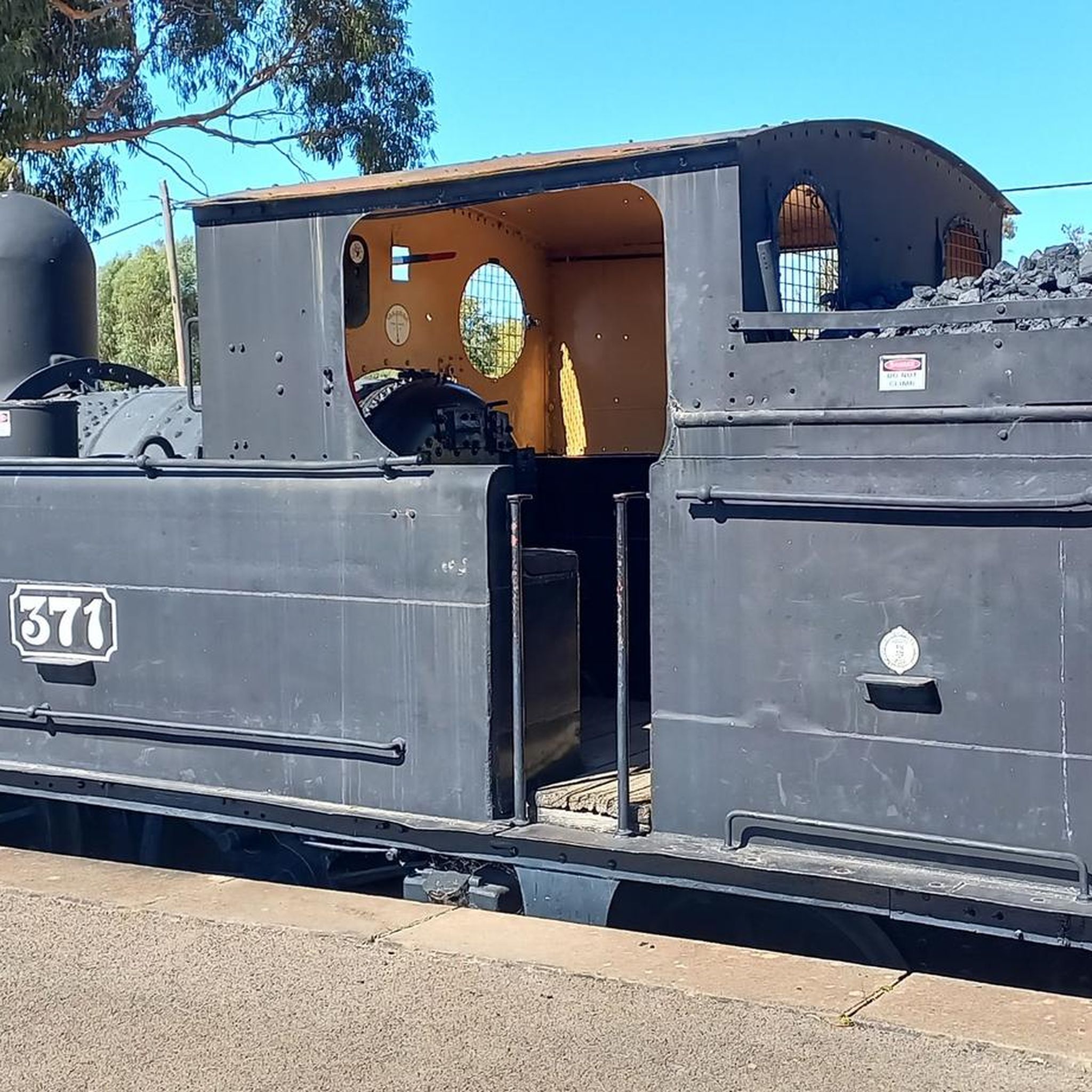
Castlemaine Station provides regular commuter service on the V/Line as well as the historic Victorian Goldfields Railway. This makes it a great option for history buffs and cyclists and hikers who want to do a long one-way journey and take the train the other way.
1
0

Frequently Asked Questions
What is the typical difficulty level for road cycling routes in Maldon Historic Reserve?
Road cycling routes in Maldon Historic Reserve are generally classified as moderate. This means they offer a balanced challenge with undulating terrain and elevation changes, suitable for cyclists with varying fitness levels.
What are the typical distances and durations for road cycling routes in Maldon Historic Reserve?
The road cycling routes in Maldon Historic Reserve vary in length, typically ranging from around 15.8 miles (25.4 km) to 36 miles (58 km). Durations can range from approximately 1 hour 12 minutes to over 2 hours, depending on the specific route and your pace.
Are there any loop trails for road cycling in Maldon Historic Reserve?
Yes, many of the road cycling routes in Maldon Historic Reserve are designed as loops. For example, the Chapel Hill – Wesley Hill loop from Muckleford and the Breakneck Hill – Fryers Creek Water Frontage loop from Castlemaine are popular circular options.
Where are common starting points or trailheads for road cycling in the area?
Many road cycling routes in Maldon Historic Reserve begin from nearby towns such as Muckleford or Castlemaine. Specific starting points often include areas like Castlemaine H80 Bushland Reserve, offering convenient access to the network of roads.
What kind of terrain can I expect on road cycling routes in Maldon Historic Reserve?
The terrain in Maldon Historic Reserve is characterized by rolling hills and extensive bushland. You'll encounter paved roads with moderate elevation changes, and some routes also feature areas near water frontages, such as Fryers Creek.
What is the best time of year for road cycling in Maldon Historic Reserve?
While specific weather conditions can vary, the region generally offers pleasant cycling conditions during spring and autumn when temperatures are milder. Summer can be hot, and winter might bring cooler, wetter weather, so checking local forecasts is always recommended.
Are there any routes suitable for beginner road cyclists?
Given that all listed routes are classified as moderate, beginners with a reasonable level of fitness can enjoy them. Routes like the Breakneck Hill – Fryers Creek Water Frontage loop from Castlemaine, at 15.8 miles, might be a good starting point for those looking for a slightly shorter option.
What do other road cyclists enjoy most about road cycling in Maldon Historic Reserve?
The komoot community frequently praises the varied landscape, including the rolling hills and bushland, that defines the road cycling experience here. Cyclists appreciate the network of paved roads that offer a balanced challenge and the opportunity to explore the natural beauty of the reserve.
Are there longer road cycling routes for advanced riders?
For more experienced riders seeking a longer challenge, routes like the Wesley Hill – Nathans Hill loop from Castlemaine cover approximately 36 miles (58 km) and involve significant elevation gain, providing a more extended ride through the region's varied terrain.
What should I wear for road cycling in Maldon Historic Reserve?
Given the varied terrain and potential for elevation changes, it's advisable to wear appropriate cycling attire, including a helmet, padded shorts, and layers that can be adjusted for temperature fluctuations. Always carry water and sun protection, especially during warmer months.
Are there cafes or places to refuel near the road cycling routes?
While the routes themselves traverse bushland and natural areas, starting or ending your ride in nearby towns like Castlemaine or Maldon will provide access to various cafes, bakeries, and shops where you can refuel and refresh.
Can I expect any scenic viewpoints along the road cycling routes?
The routes through Maldon Historic Reserve offer scenic views of rolling hills and extensive bushland. While specific named viewpoints might not be signposted, the elevated sections of routes like the Breakneck Hill – Strathloddon Bushland Reserve loop provide panoramic vistas of the surrounding natural landscape.
Most popular routes in Maldon Historic Reserve

Get inspired with the komoot mobile app


Explore more
Browse the best Road cycling routes in other regions.
