The 7 Most Amazing Peaks around Netzschkau
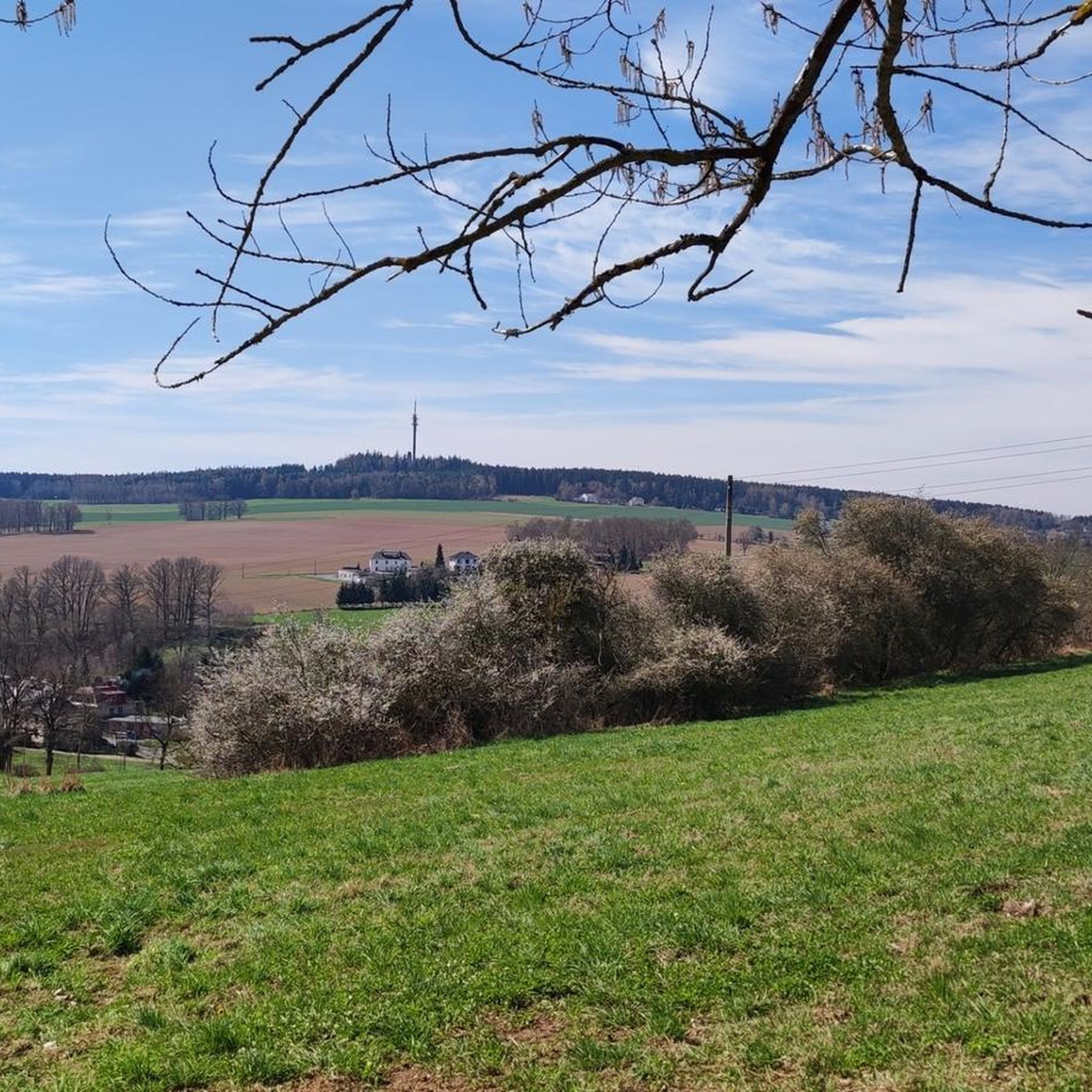
Best mountain peaks around Netzschkau are characterized by rolling hills, dense forests, and river valleys. The region features notable elevated points that offer scenic views and recreational opportunities. The highest point in the northern Vogtland is the Kuhberg, reaching 511 meters above sea level. The terrain provides varied hiking experiences suitable for different fitness levels.
Best mountain peaks around Netzschkau
- The most popular mountain peaks is Köhlerspitze Viewpoint (345 m), a viewpoint that offers beautiful views of the Göltzschtal. This vantage point is considered worthwhile by visitors.
- Another must-see spot is Sophienkreuz (White Cross) on Hirschstein, a man-made monument. This cross, located at 375 meters, offers a great view towards Greiz from its viewing platform.
- Visitors also love Teufelskanzel rock formation and view of the White Cross, a natural monument. From this spectacular rock formation at 370 meters, visitors have a great view of Greiz.
- Netzschkau is known for viewpoints, natural monuments, and summits. The area offers a variety of elevations and rock formations to explore.
- The mountain peaks around Netzschkau are appreciated by the komoot community, with over 600 photos and 400 upvotes shared by visitors.
Last updated: June 24, 2026
Sophienkreuz (White Cross) on Hirschstein
Highlight • Monument
Translated by Google •
Tip by

Köhlerspitze Viewpoint (345 m)
Highlight • Viewpoint
Translated by Google •
Tip by

Sign up now to discover places like this
Get recommendations on the best single tracks, peaks, & plenty of other exciting outdoor places.
Sign up for free
Wilhelmshöhe Triangulation Station (1876)
Highlight • Monument
"The Royal Saxon Triangulation (here with its historical proper name) is a land survey carried out between 1862 and 1890 in the territory of the Kingdom of Saxony, simultaneously creating a trigonometric network.
The goal was to scientifically and geodetically accurately record the state territory and to create the basis for the production of accurate map series by establishing permanently marked control points. The Großenhainer Grundlinie was determined as the scale-defining base." - de.wikipedia.org/wiki/K%C3%B6niglich-S%C3%A4chsische_Triangulirung
From the station, the neighboring stations Carlshöhe, Marienhöhe, Schönheide, Wenzelstein, Kemmlerberg, and Kuhberg were sighted.
Unfortunately, not much can be seen of it anymore, even from the tower.
Showing Translation
Tip by

Teufelskanzel rock formation and view of the White Cross
Highlight • Natural Monument
Translated by Google •
Tip by

View of Neumühle from Amselstein
Highlight • Viewpoint
Translated by Google •
Tip by

Sign up for free to discover even more peaks around Netzschkau.
Sign up for free
Already have an account?
Start today with a free account
Your next adventure awaits.
Login or Signup
Popular around Netzschkau

Around Thuringia — 7 stages through Germany's green heart
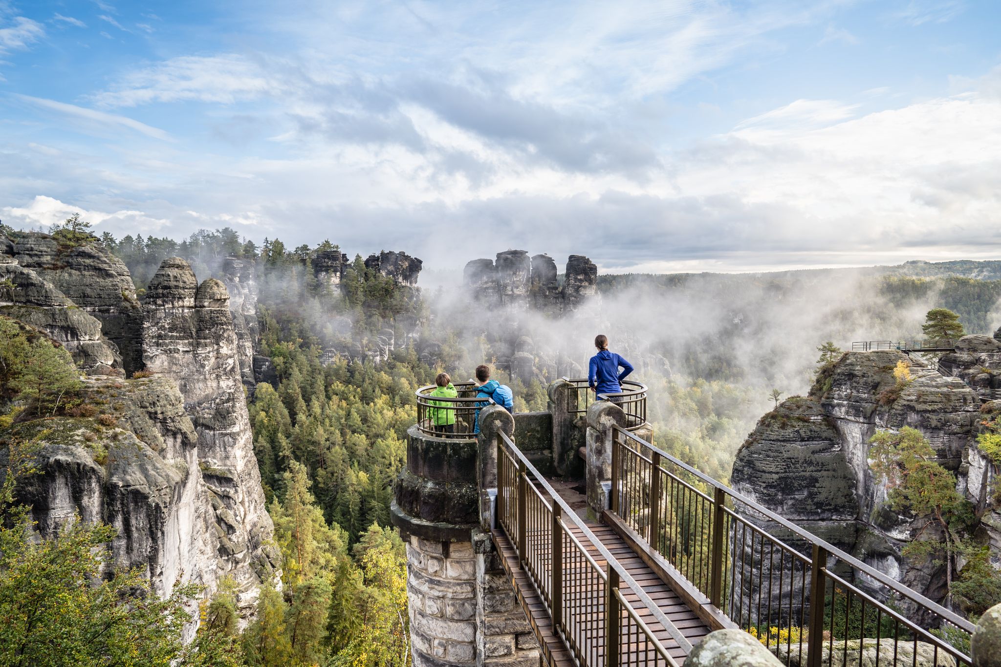
Natural wonders of Saxony – hiking with the wow factor
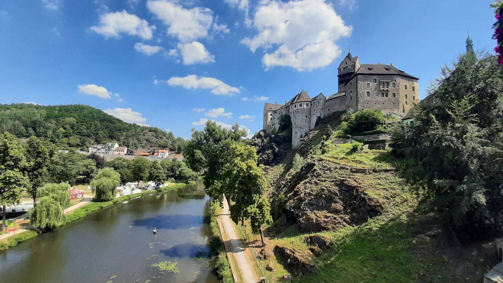
Through the heart of Europe – riding the Euregio Egrensis
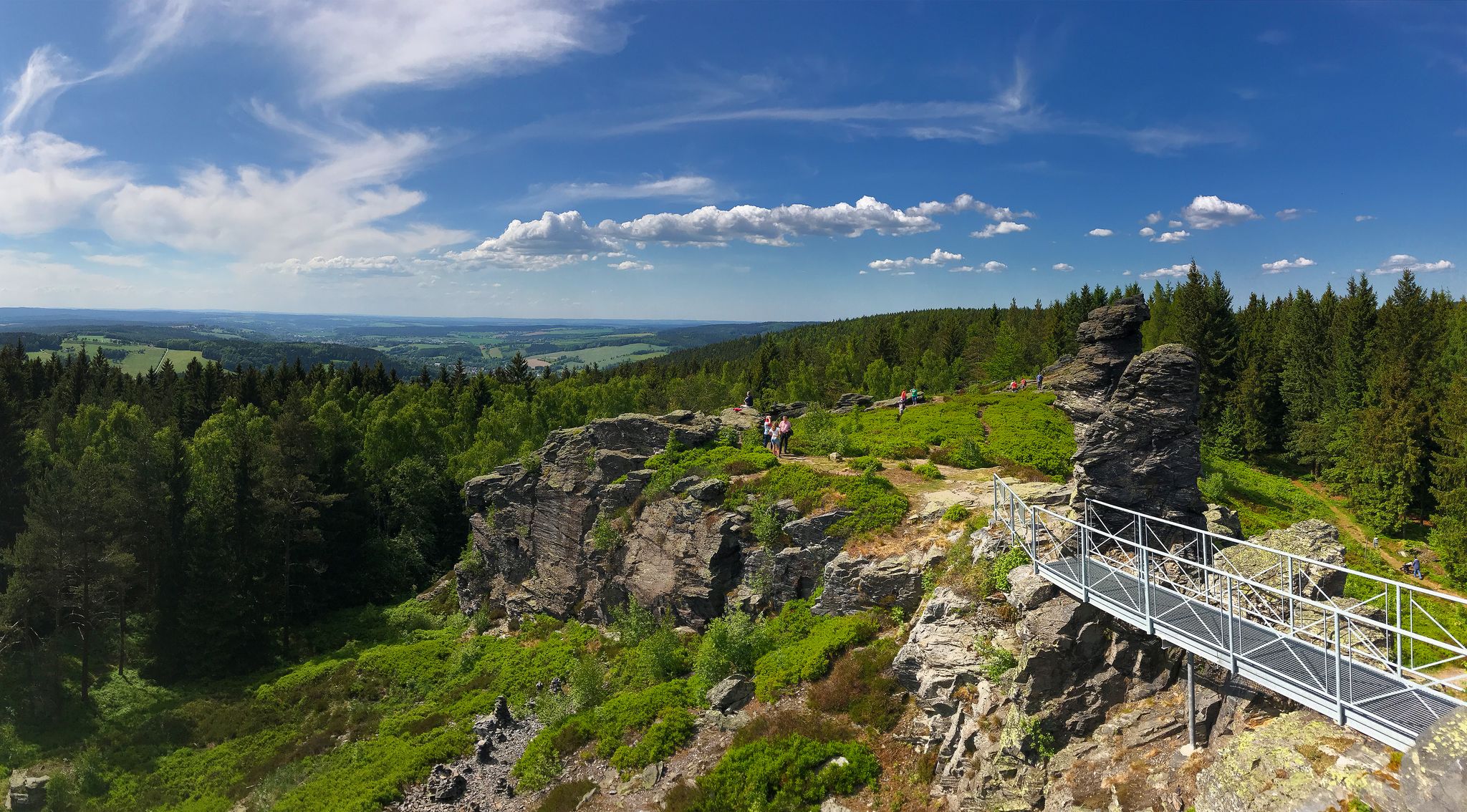
Experience the sounds of nature — hikes in the Vogtland Region
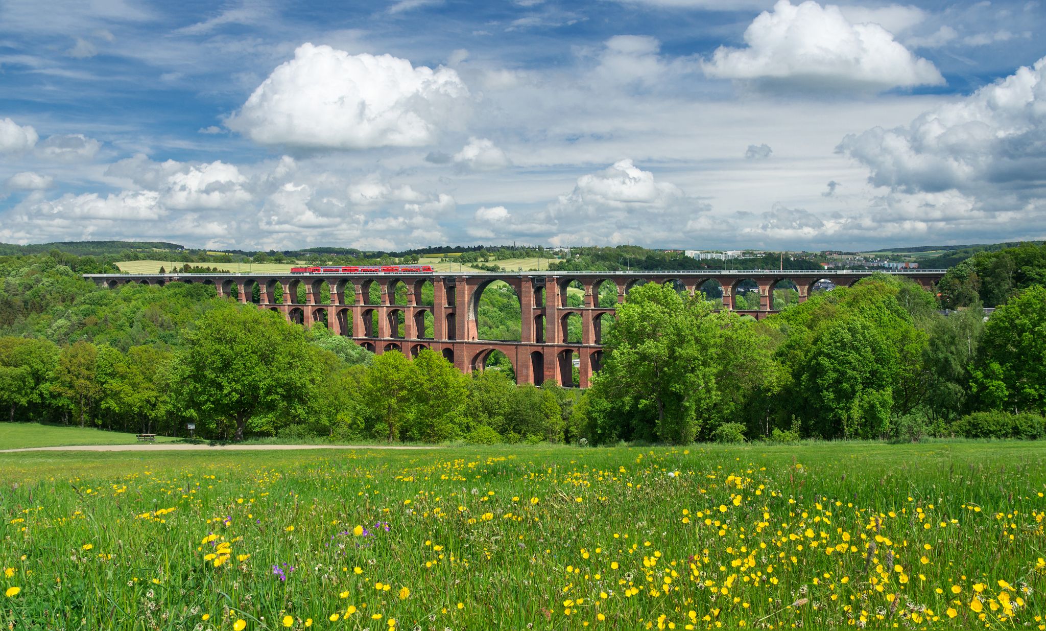
Experience nature’s symphony – Vogtland Panorama Trail
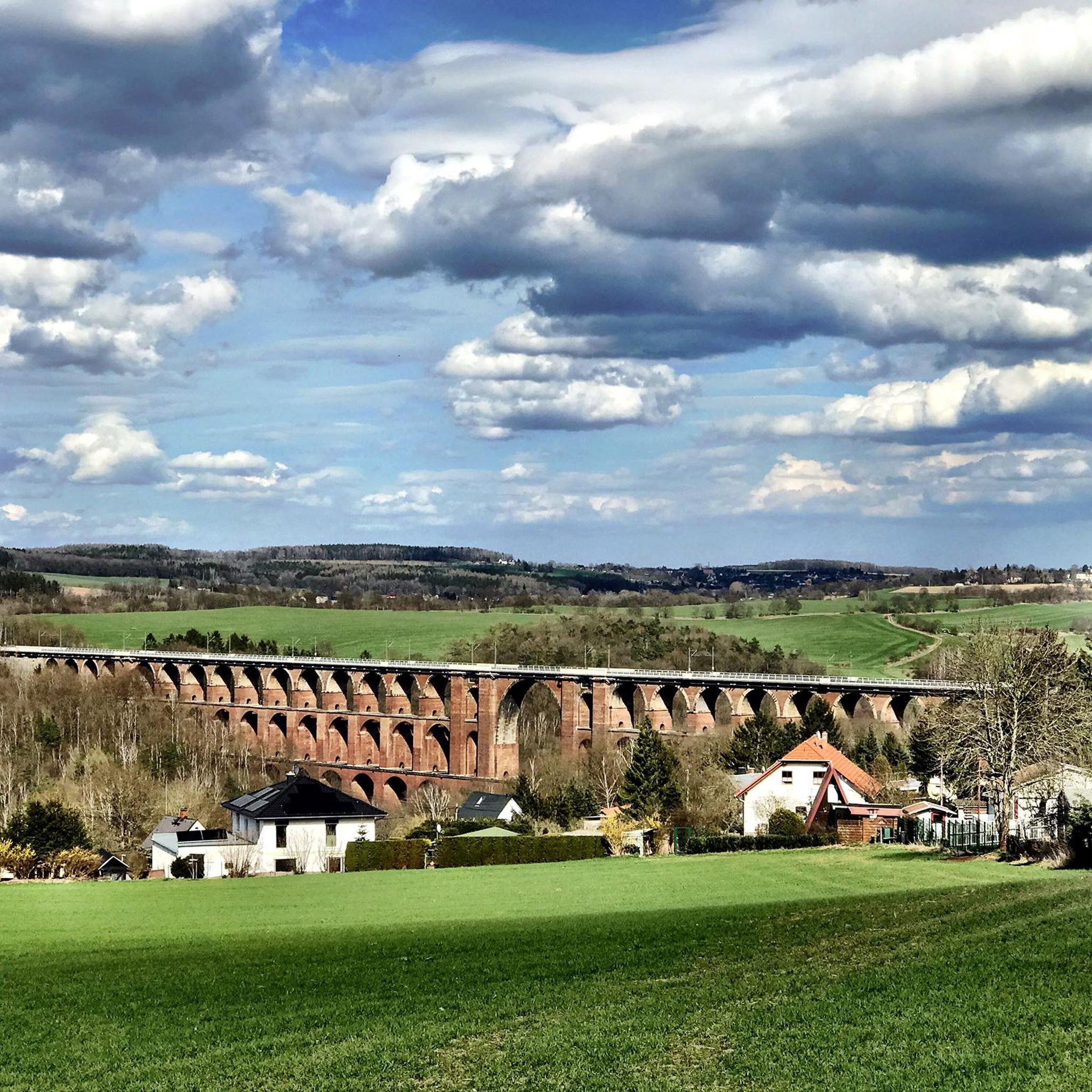
Hiking around Netzschkau
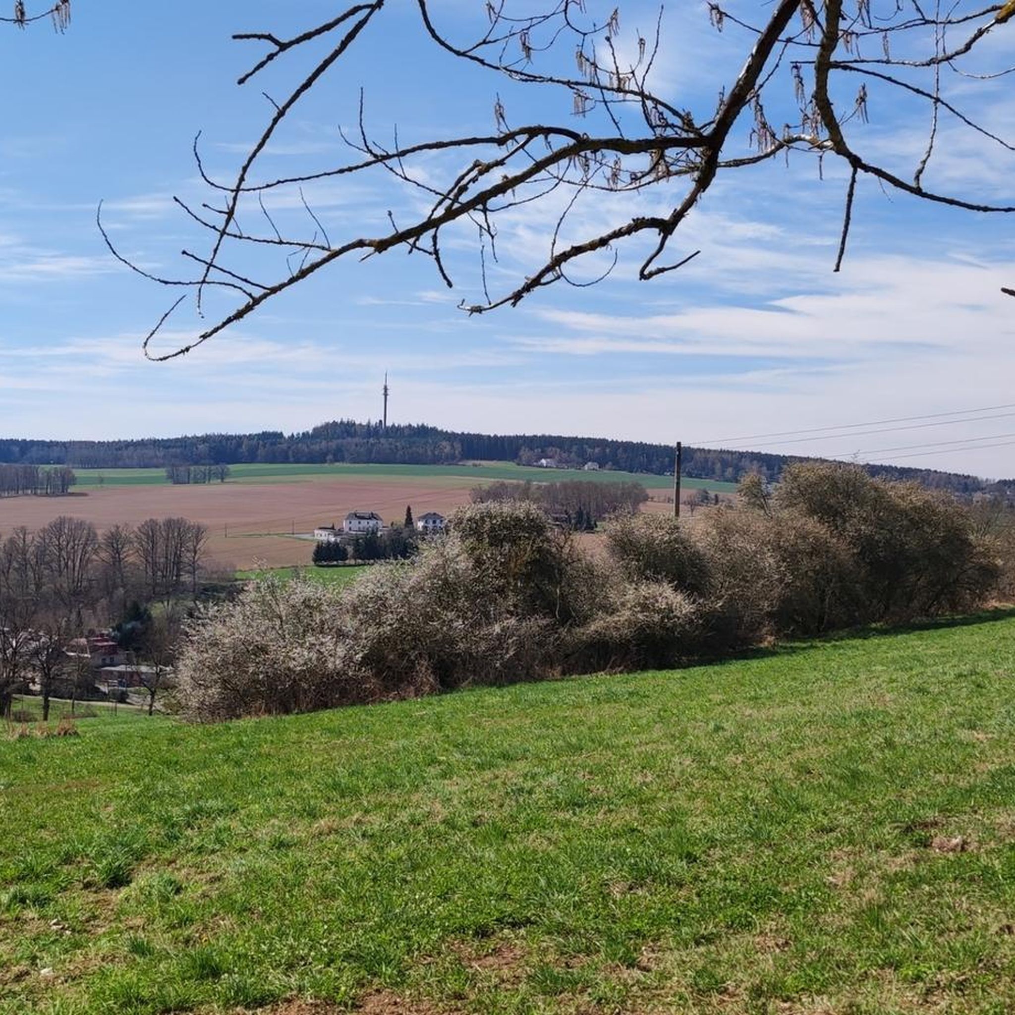
Cycling around Netzschkau
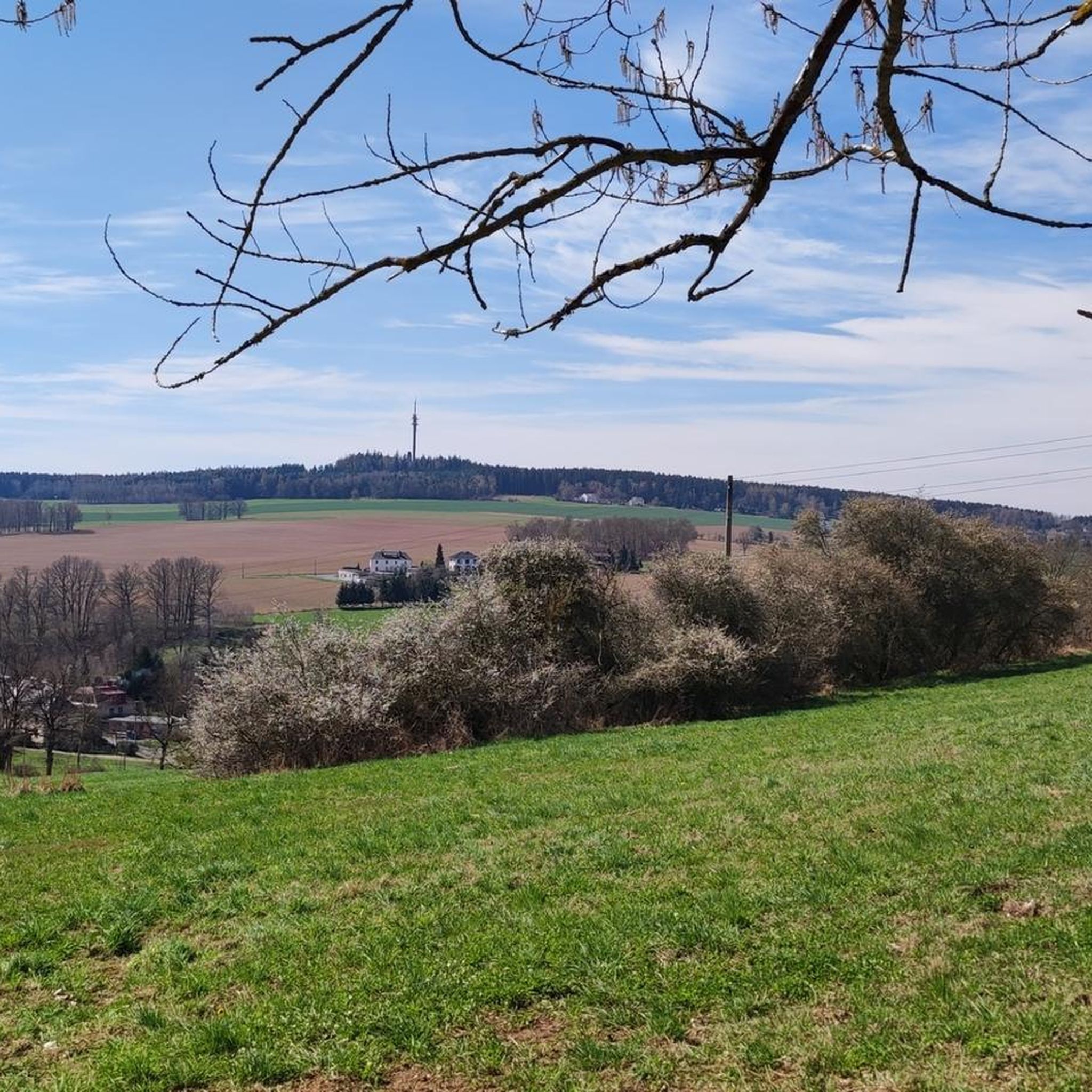
Road Cycling Routes around Netzschkau
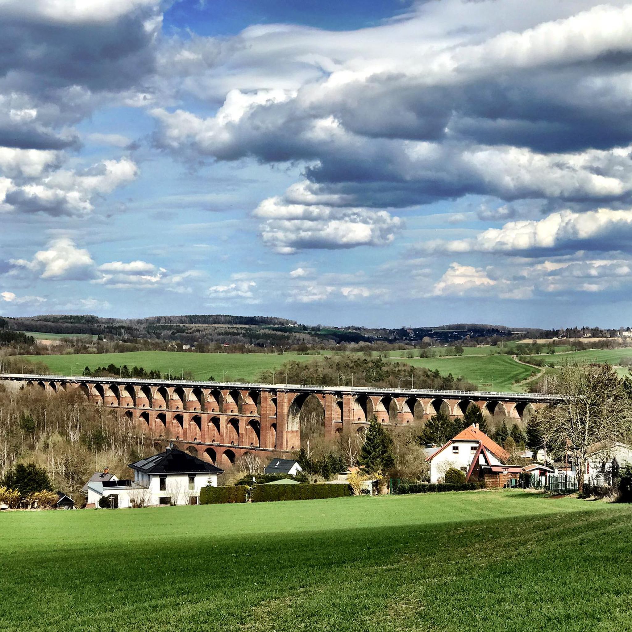
Running Trails around Netzschkau
MTB Trails around Netzschkau
Other adventures around Netzschkau


Tips from the Community

The pillar marks station 143 Wilhelmshöhe of the Royal Saxon Triangulation. "The Royal Saxon Triangulation (here with its historical proper name) is a land survey carried out between 1862 and 1890 in the territory of the Kingdom of Saxony, simultaneously creating a trigonometric network. The goal was to scientifically and geodetically accurately record the state territory and to create the basis for the production of accurate map series by establishing permanently marked control points. The Großenhainer Grundlinie was determined as the scale-defining base." - https://de.wikipedia.org/wiki/K%C3%B6niglich-S%C3%A4chsische_Triangulirung From the station, the neighboring stations Carlshöhe, Marienhöhe, Schönheide, Wenzelstein, Kemmlerberg, and Kuhberg were sighted. Unfortunately, not much can be seen of it anymore, even from the tower.
1
0

Great viewpoint overlooking the castle, directly on the Elsterperlenweg trail.
3
1

My TIP: The hike and the entire region are very well described in the following book: GERA & Thuringian Vogtland A HIKING GUIDE & TRAVEL GUIDE for active vacationers, hikers, car and culture tourists with hikes near Gera, in the Thuringian Vogtland and on the Weiße Elster Weg, Thuringian Lutherweg, Zeulenrodaer Talsperrenweg, Weidatalweg, Hohenwarte Stausee Weg and in the Plothener Teichgebiet. Country and people section: Interesting facts about nature, history, culture, language & cuisine Travel section: Description of the cities, villages, regions with their sights Hiking section: 39 hiking tour descriptions with overview maps Travel & hiking guide: GERA & Thuringian Vogtland with Greiz, Saalfeld, Plauen... Publisher REISEBUCH-KARHU Price: 17.95 € ISBN: 978-3-98165-772-2 Information about the book & possibility to order: https://www.reise-karhu.de/reisebuecher/gera-thueringer-vogtland.html
0
0

Good rest area with bench and table as well as railings.
1
1

One of many beautiful viewpoints on the Elsterperlenweg.
8
0
Beautiful climbing rock 😎
8
0

Surefootedness is required here
9
1
beautiful views of the Göltzschtal
9
1
Frequently Asked Questions
What are the most notable elevations or 'peaks' around Netzschkau?
While Netzschkau is characterized by rolling hills rather than traditional high mountain peaks, the most significant elevation is the Kuhberg, reaching 510 or 511 meters above sea level. Other notable spots include the Galgenberg (404 m) and the elevation where Netzschkau Castle (394 m) is situated.
Which viewpoints offer the best panoramic views in the Netzschkau area?
For expansive views, consider visiting the Bismarck Tower atop the Kuhberg, which provides a panoramic vista across the Vogtland. Other popular viewpoints include Köhlerspitze Viewpoint (345 m) with beautiful views of the Göltzschtal, and the Sophienkreuz (White Cross) on Hirschstein, which offers a great view towards Greiz.
Are there historical sites or monuments on these elevations?
Yes, the Kuhberg features the 21-meter-high Bismarck Tower, a protected monument built in 1900. Additionally, the Sophienkreuz (White Cross) on Hirschstein is a man-made monument built in 1838. Netzschkau Castle, one of Saxony's oldest late Gothic castles, also sits on an elevation, offering historical insights.
What kind of hiking experiences can I expect around Netzschkau's elevations?
The terrain around Netzschkau offers varied hiking experiences suitable for different fitness levels, defined by rolling hills, dense forests, and river valleys. You can find trails leading to viewpoints like View of Neumühle from Amselstein, or more challenging routes to spots like Teufelskanzel rock formation.
Are there family-friendly activities or trails near the peaks?
The Kuhberg is well-suited for a Sunday outing, featuring a nature trail and a lovingly designed garden railway system at the summit, making it a great family destination. Many of the trails leading to viewpoints are also suitable for families, offering benches for rests and scenic views.
What outdoor activities can I do near the mountain peaks around Netzschkau?
Beyond hiking, the region offers various outdoor activities. You can explore Road Cycling Routes, tackle MTB Trails, or enjoy Running Trails. These guides provide routes of varying distances and difficulties, often passing by or offering views of the local elevations.
What is the best time to visit the elevations around Netzschkau?
The region is enjoyable throughout the warmer months, typically from spring to autumn, when the nature trails are most accessible and the views are clear. The 'Kuhbergbaude' restaurant on the Kuhberg is open daily during the summer season, adding to the experience.
Are there amenities like restaurants or cafes near these elevations?
Yes, on the summit of the Kuhberg, you'll find the 'Kuhbergbaude' restaurant, which is open daily during the summer season. Many trails also lead to or pass by towns and villages where additional dining options are available.
What do visitors enjoy most about the mountain peaks around Netzschkau?
Visitors frequently praise the beautiful views, especially from spots like Köhlerspitze Viewpoint (345 m) and Sophienkreuz (White Cross) on Hirschstein, which is considered a perfect photo point. The peaceful rest areas, such as the one at View of Neumühle from Amselstein, are also highly appreciated.
How accessible are the elevations around Netzschkau by public transport?
While specific public transport details to every peak are not readily available, the region is generally well-connected. For example, Greiz Station, a nearby highlight, is a terminus for regional express lines and served by Vogtlandbahn, which can be a starting point for exploring the surrounding areas.
Are there any specific regulations for hiking or visiting the natural areas?
Generally, the Vogtland region welcomes hikers. While specific permits are not typically required for general hiking on marked trails, it's always advisable to stay on designated paths to protect local flora and fauna. Always respect local signage and private property.
Can I bring my dog on the hiking trails around Netzschkau's elevations?
Many trails in the Vogtland region are dog-friendly, allowing you to enjoy the natural beauty with your canine companion. However, always keep your dog on a leash, especially in nature reserves or near wildlife, and ensure you clean up after them.
Most popular routes around Netzschkau
Most popular attractions around Netzschkau

Get inspired with the komoot mobile app


Explore more
See even more amazing summits around Netzschkau with these guides:
