The best road cycling routes in Whitemud Creek Ravine
4.3
(29)
923
riders
59
rides
Road cycling in Whitemud Creek Ravine, located in Edmonton, Alberta, features a long, winding valley characterized by dense aspen, spruce, and poplar forests. While natural reserve footpaths are generally restricted for road cycling, the broader area offers designated paved multi-use paths. These routes connect to the Edmonton river valley system, providing varied terrain for road cyclists. The area includes routes with gentle gradients and some with more significant elevation gains.
Best road cycling routes in Whitemud Creek Ravine
- The most…
Last updated: July 8, 2026
5.0
(1)
72
riders
35.1km
01:46
320m
320m
Moderate road ride. Good fitness required. Mostly well-paved surfaces and easy to ride.
4.0
(1)
10
riders
38.0km
01:54
290m
290m
Easy road ride. Great for any fitness level. Mostly well-paved surfaces and easy to ride.

Sign up for free
3.0
(1)
53
riders
37.3km
01:44
210m
210m
Easy road ride. Great for any fitness level. Mostly well-paved surfaces and easy to ride.
22
riders
77.1km
03:26
440m
440m
Moderate road ride. Good fitness required. Some segments of this route may be unpaved and difficult to ride.
21
riders
26.4km
01:17
90m
90m
Easy road ride. Great for any fitness level. Mostly well-paved surfaces and easy to ride.
Get access to more routes and recommendations from other explorers.
Sign up for free
Already have an account?
Our route recommendations are based on thousands of hikes, rides, and runs completed by other people on komoot.
Start today with a free account
Your next adventure awaits.
Login or Signup
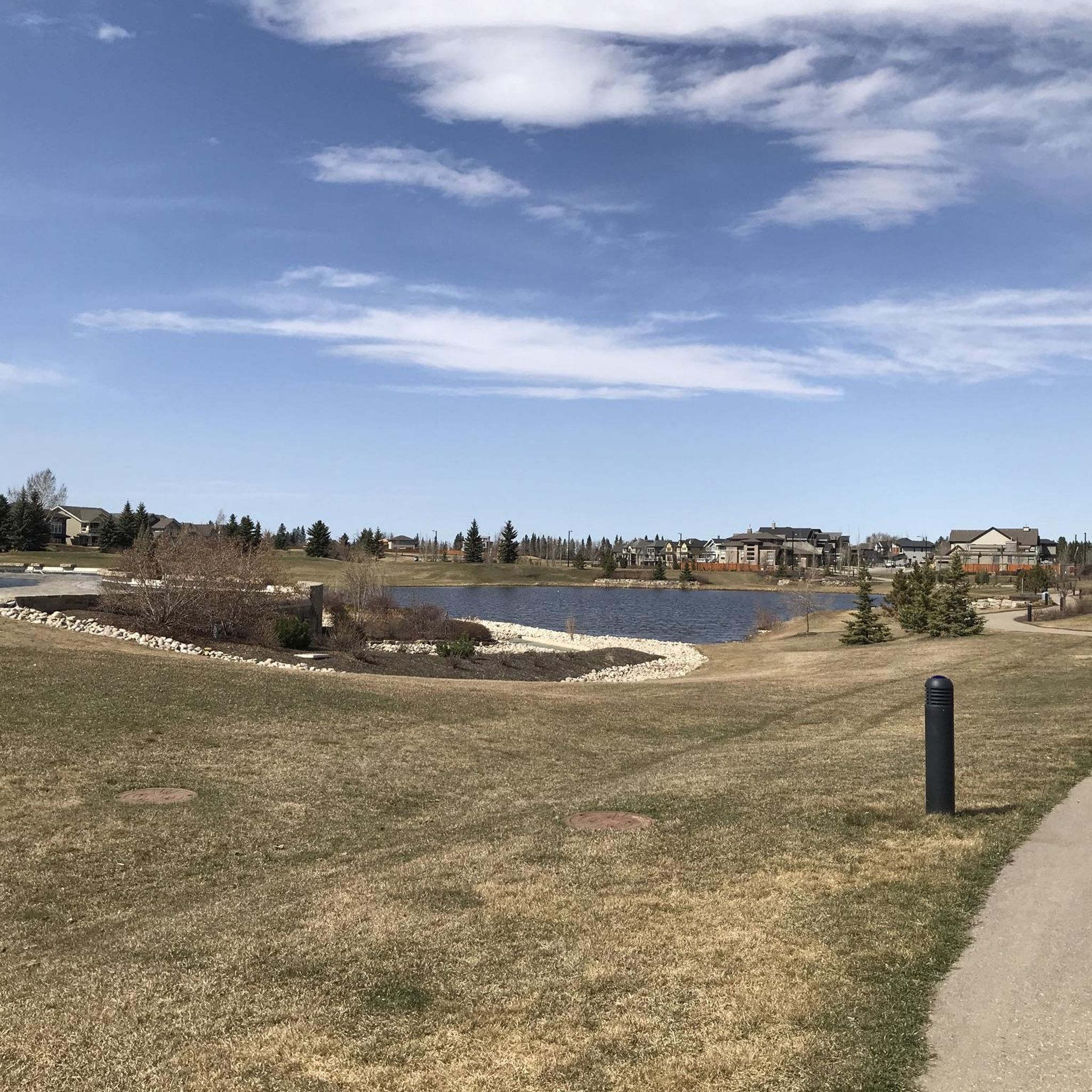
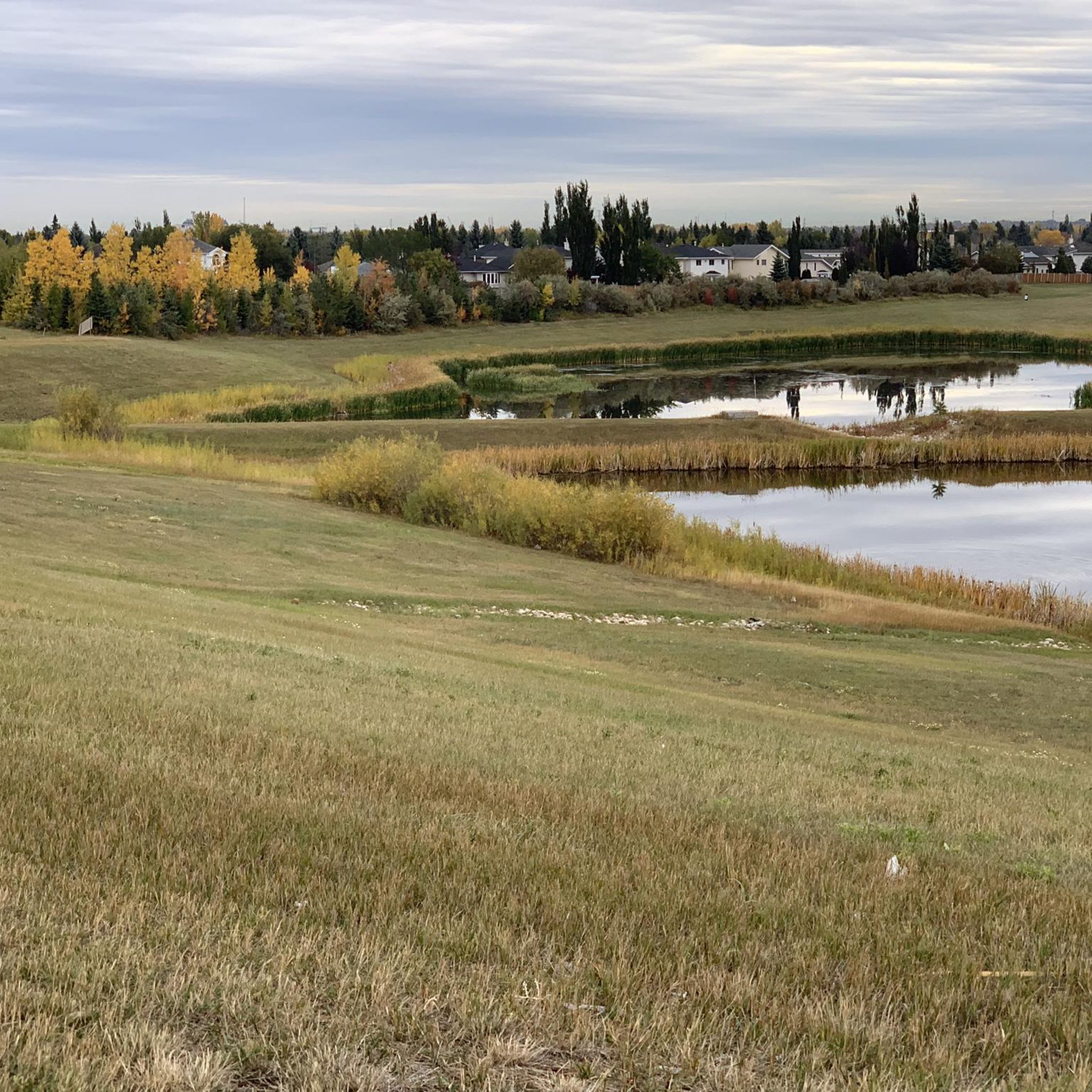
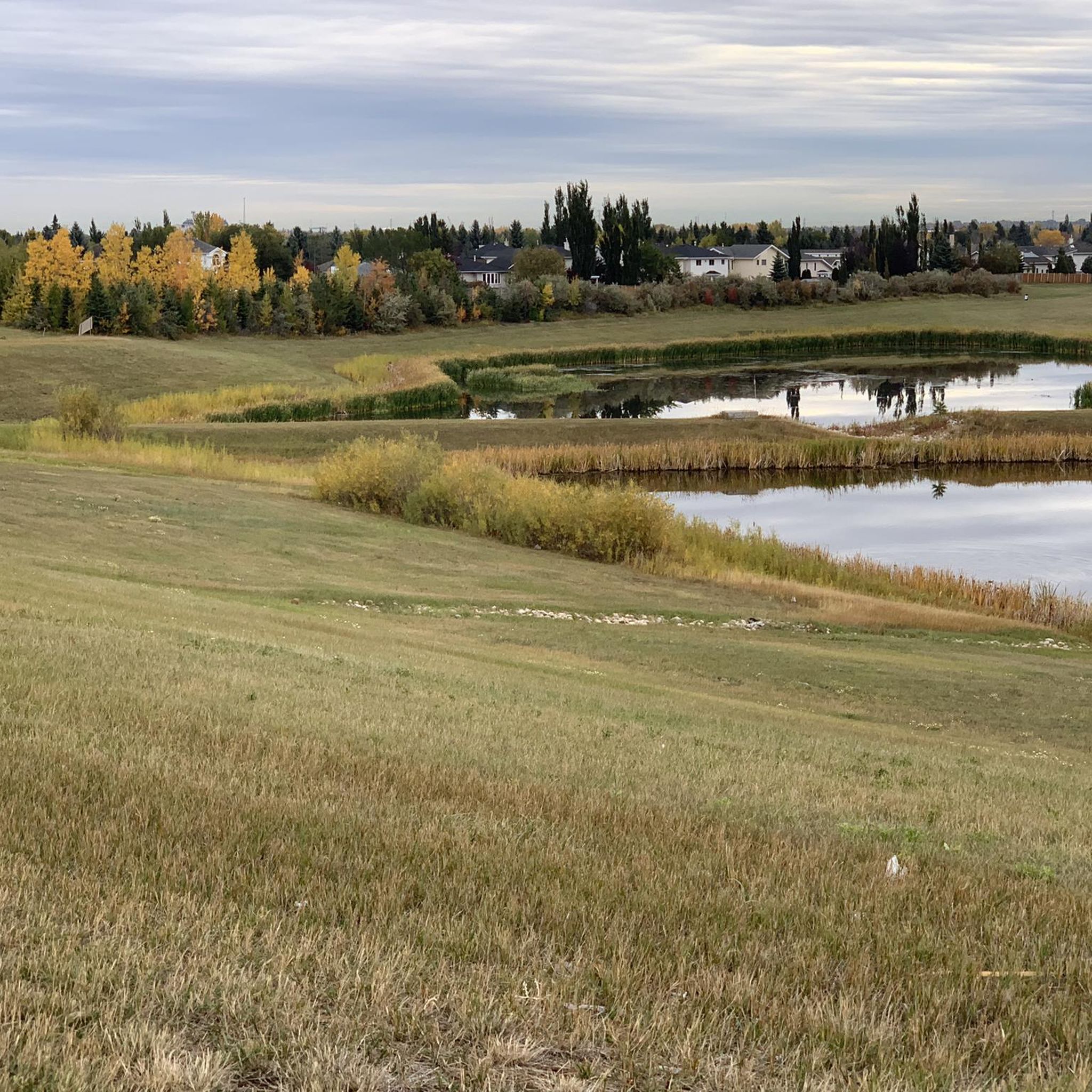
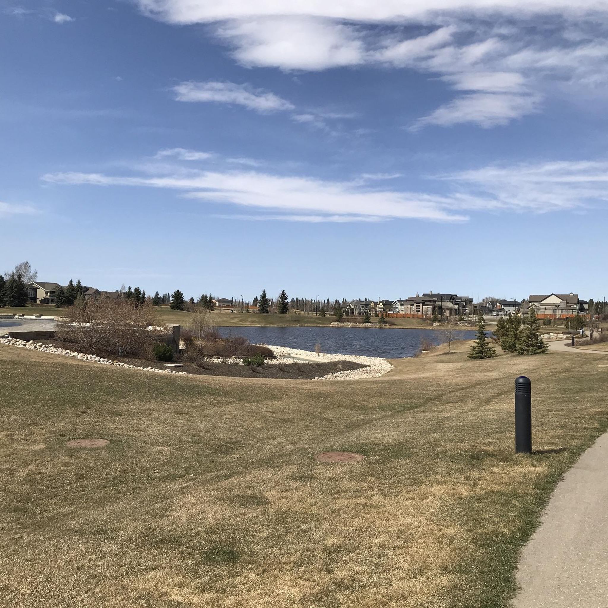
Tips from the Community

Flowing for more than 1,200 kilometres from the Columbia Icefield in the Canadian Rockies to central Saskatchewan, the North Saskatchewan River has shaped Edmonton's landscape for thousands of years. Here, the river winds through a broad valley lined with forests, and parkland, creating one of the largest urban river valley systems in North America. The constantly changing water levels, sandbars, and riverside habitat support a wide variety of wildlife and make the river the defining feature of this part of the city.
0
0

Great for accessing Hawrelak Park and the UofA from the north side of the river.
0
0
Nice area to get some exercise and learn about the city's history at the same time.
0
0
Nice place to take a break and relax on a bench.
0
0
Frequently Asked Questions
How many road cycling routes are available in the Whitemud Creek Ravine area?
The Whitemud Creek Ravine area offers over 60 road cycling routes. These routes are part of the broader Edmonton river valley system, providing a variety of options for cyclists.
What kind of terrain can I expect on road cycling routes in Whitemud Creek Ravine?
Road cycling in the Whitemud Creek Ravine area primarily utilizes designated paved multi-use paths. While the natural reserve footpaths within the ravine are generally restricted for road cycling, the surrounding area connects to the extensive Edmonton river valley system, offering routes with both gentle gradients and some more significant elevation gains.
Are there road cycling routes suitable for beginners or families?
Yes, the Whitemud Creek Ravine area includes many routes suitable for beginners and families. Out of the over 60 routes, 28 are rated as easy, offering accessible options for those looking for a more relaxed ride. An example of an easy route is the Walterdale Bridge – Tawatina Bridge loop from Riverbend, which follows paved multi-use paths.
What are the difficulty levels of road cycling routes in the Whitemud Creek Ravine area?
The routes in the Whitemud Creek Ravine area cater to various skill levels. There are 28 easy routes, 36 moderate routes, and 1 difficult route, ensuring options for casual riders, intermediate cyclists, and those seeking a greater challenge.
What is the best time of year for road biking in Whitemud Creek Ravine?
The best time for road cycling in Whitemud Creek Ravine is typically from spring through fall, when paths are clear of snow and ice. During these seasons, you can fully enjoy the dense aspen, spruce, and poplar forests and the natural beauty of the area.
Are there any regulations for road cycling within the Whitemud Creek Ravine area?
Yes, it's important to note that road cycling directly on the footpaths within the natural reserve sections of Whitemud Creek Ravine is generally not permitted or recommended. These areas are preserved for wildlife and natural environments. Cyclists should stick to designated paved multi-use paths in the broader Whitemud Creek area and the connected river valley system.
What do other road cyclists enjoy most about the routes here?
The Whitemud Creek Ravine area is highly rated by the komoot community, with an average score of 4.3 stars from over 30 reviews. Cyclists often praise the well-maintained paved multi-use paths, the scenic views along the river valley, and the feeling of being immersed in nature while still close to the city.
Are there any longer road cycling routes for experienced cyclists?
For experienced cyclists looking for a longer ride, the area offers routes like the John Janzen Nature Centre – Whitemud Creek Ravine loop from Century Park. This moderate route spans over 77 kilometers (48 miles) and includes significant elevation gain, providing a substantial challenge.
What natural features or landmarks can I see along the road cycling routes?
While cycling the paved paths in the Whitemud Creek Ravine area, you can experience dense aspen, spruce, and poplar forests, and catch glimpses of the winding Whitemud Creek. Notable highlights in the broader area include the Whitemud Creek Bridge and the natural beauty of the Whitemud Creek Ravine itself. You might also pass by the Terwillegar Powerline Trail and the tranquil MacTaggart Sanctuary Path.
Are there loop road cycling routes in the Whitemud Creek Ravine area?
Yes, many road cycling routes in the area are designed as loops, offering convenient starting and ending points. Popular loop options include the RiverSide 100 loop from Riverbend and the Wedgewood Ravine – Lakeside Park loop from Riverbend, allowing you to return to your starting point without retracing your path.
Can I expect to see wildlife while road cycling in Whitemud Creek Ravine?
The Whitemud Creek Ravine area is known for its abundant wildlife. While cycling on the paved paths, you may spot various bird species, including chickadees and nuthatches, especially near feeding spots like the Chickadee and Nuthatch Feeding Spot. Deer, moose, coyotes, and beavers are also common sightings in the broader ravine system, offering a chance to connect with nature.
Is there parking available near the road cycling trailheads?
Yes, Whitemud Park, located at the start of some trails, offers facilities and is a common access point. Additionally, many routes start from areas like Riverbend or Century Park, which typically have parking available, making it convenient to access the paved multi-use paths.
Are there any cafes or amenities near the cycling access points?
While the ravine itself is a natural escape, the Whitemud Creek area is within Edmonton, meaning amenities like cafes, pubs, and restaurants are accessible in nearby neighborhoods. You'll find options for refreshments and meals a short distance from the main cycling access points.
Most popular routes in Whitemud Creek Ravine
Most popular attractions in Whitemud Creek Ravine

Get inspired with the komoot mobile app


Explore more
Browse the best Road cycling routes in other regions.
