The best road cycling routes in Tsable Lakes Woodlands
5.0
(2)
87
riders
4
rides
Road cycling in Tsable Lakes Woodlands, located in British Columbia, features an extensive network of paved pathways winding through lush, forested settings. The region is characterized by towering trees and scenic waterways, offering varied terrain for cyclists. This area provides a robust environment for outdoor activities, with routes that traverse both dedicated green spaces and local roads.
Best road cycling routes in Tsable Lakes Woodlands
- The most popular road cycling route is Shingle Spit – Helliwell Provincial Park loop from…
Last updated: July 5, 2026
18
riders
Moderate road ride. Good fitness required. Mostly well-paved surfaces and easy to ride.
17
riders
51.7km
02:30
430m
430m
Moderate road ride. Good fitness required. Some segments of this route may be unpaved and difficult to ride.

Sign up for free
5.0
(2)
45
riders
76.9km
03:33
560m
560m
Moderate road ride. Good fitness required. Some segments of this route may be unpaved and difficult to ride.
5
riders
25.2km
01:10
240m
240m
Moderate road ride. Great for any fitness level. Some segments of this route may be unpaved and difficult to ride.
2
riders
16.5km
00:48
180m
180m
Easy road ride. Great for any fitness level. Mostly well-paved surfaces and easy to ride.
Our route recommendations are based on thousands of hikes, rides, and runs completed by other people on komoot.
Start today with a free account
Your next adventure awaits.
Login or Signup
Popular around Tsable Lakes Woodlands
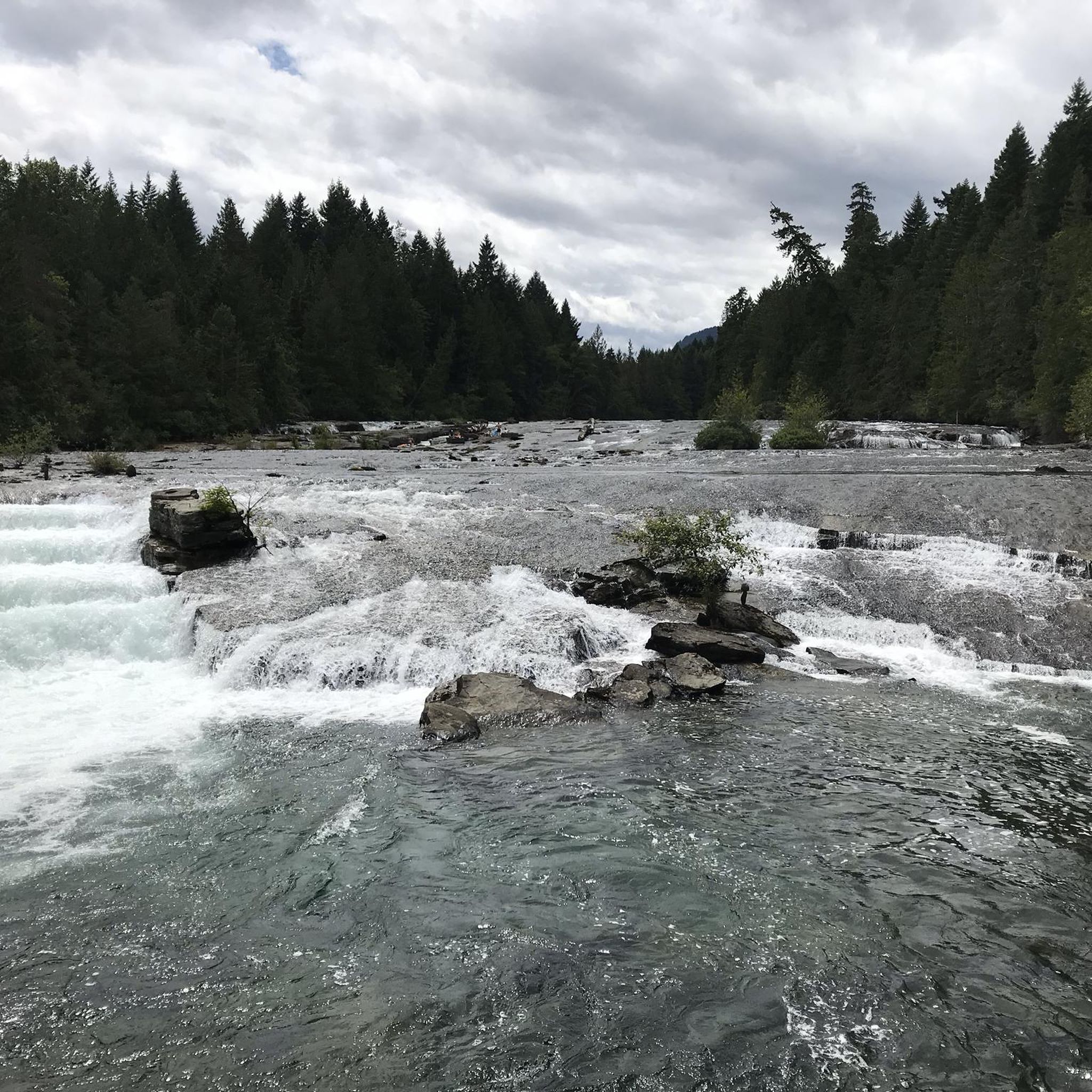
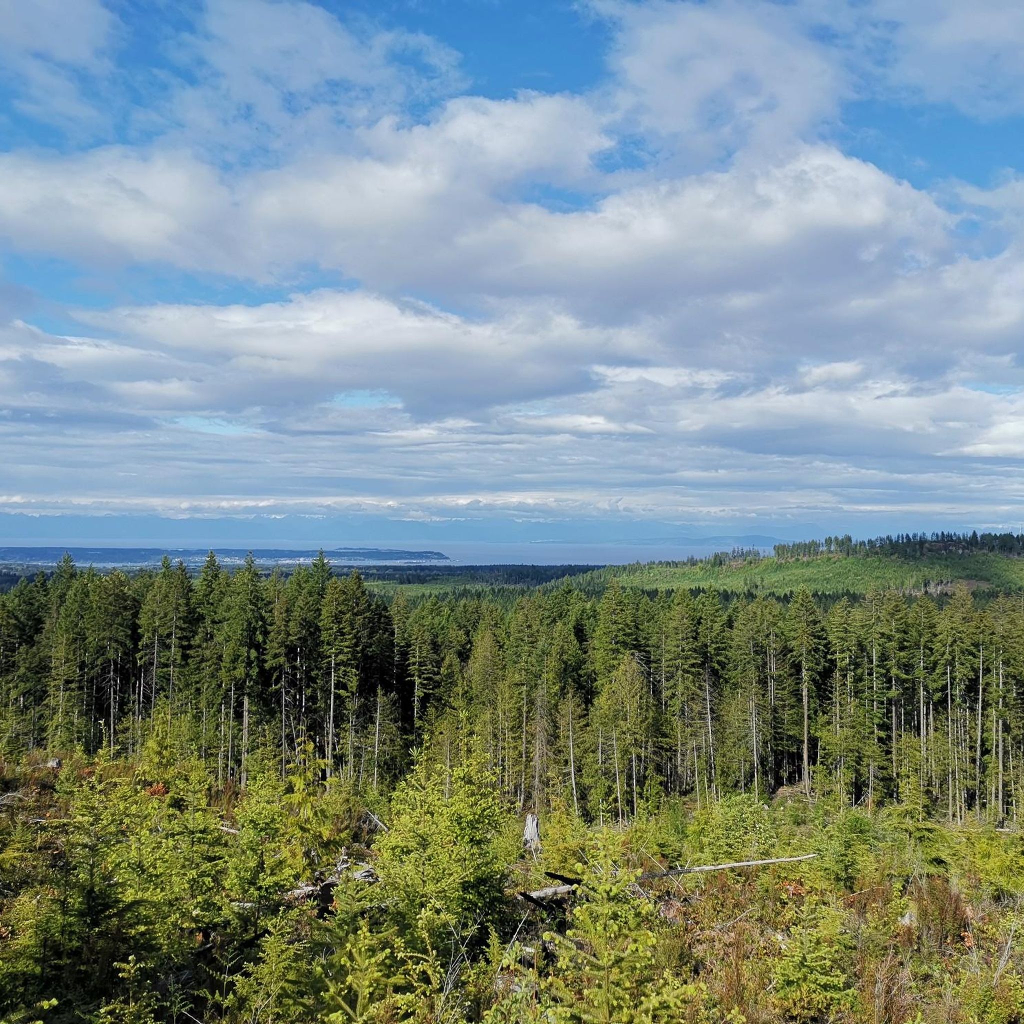
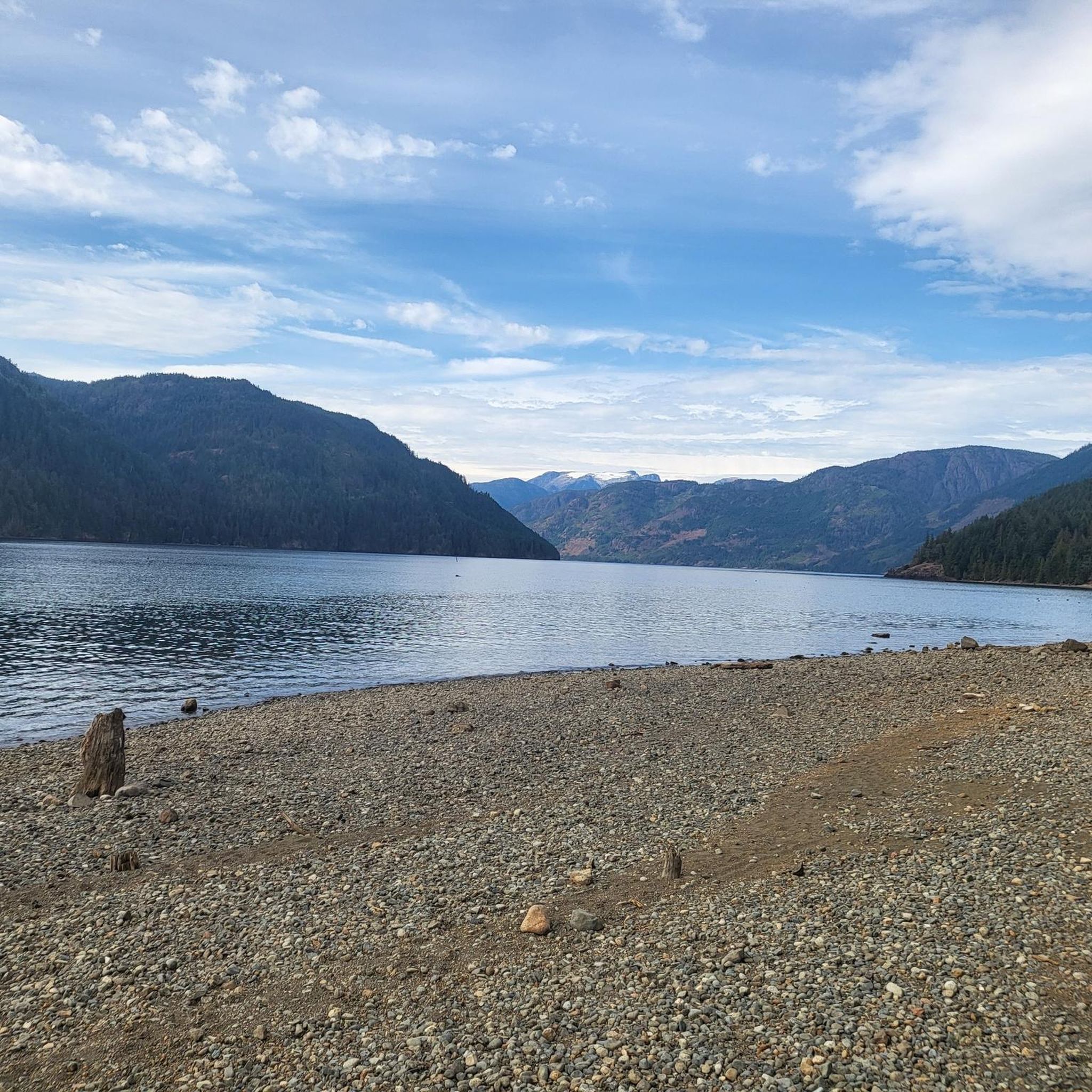
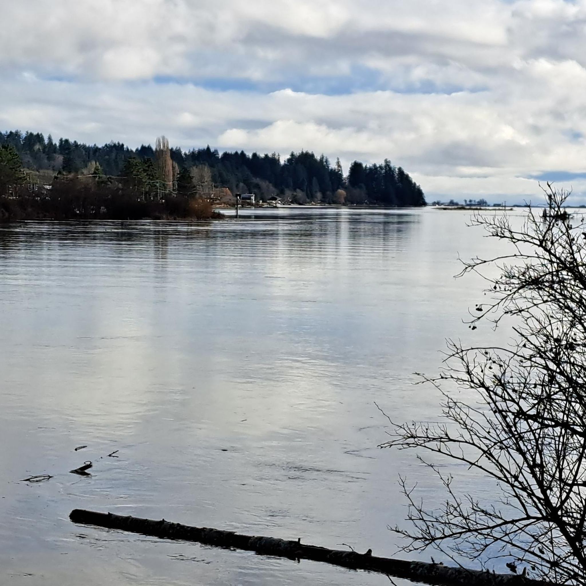
Tips from the Community

There are a bunch of seaplanes and other small aircraft that are usually parked along the fence opposite the Riverway Path. You can check them out as you pass by.
0
0
This path takes you through Courtenay's urban area, partially sheltered on either side by strips of greenery, between downtown and the riverfront. You share the path with cyclists, but the trail is paved and divided to ease multi-use traffic.
0
0

Comox Harbour is a sheltered inlet on the east coast of Vancouver Island, opening into the Strait of Georgia. The water is generally calm, shaped by tides that expose mudflats and sandbars along the shoreline. Backed by distant mountains and coastal communities, it forms a wide, open marine landscape that changes noticeably throughout the day.
0
0
Royston Seaside Trail follows the shoreline of Comox Harbour, and is a flat, gravel path between the water and a narrow strip of coastal vegetation. The trail is short, with driftwood, tidal flats, and small beaches lining the edge of the harbour. With constant ocean views and minimal elevation change, it's a great route for a quick scenic stroll along the waterfront.
0
0
Shingle Spit is a pebbly gravel-bar beach and Hornby Island’s main ferry landing for visitors. The spit is a year‑round wildlife haven, where you’ll likely see plenty of seals, sea lions, cormorants, and dozens of bald eagles during the herring spawn. Just steps from the ferry dock sits Thatch Pub and Restaurant, the island’s only full-service pub with a waterfront deck, making it the perfect lunch spot to enjoy some local fare and take in the scenery during a day of hiking in this beautiful area.
0
0
Helliwell Provincial Park is beautiful, home to a rare coastal ecosystem on the eastern tip of Hornby Island, where wind-sculpted bluffs meet old-growth Douglas fir and Garry oak. The park’s open meadows and cliffside forests overlook the Strait of Georgia, with fantastic views across the water to the Coast Mountains. It’s a quiet, exposed headland shaped by salt spray and ocean wind, known for its wildflowers, diverse birdlife, and fragile shoreline habitats.
0
0

Cumberland Community Forest stretches more than 500 acres, and is mostly second-growth coastal forest with a web of well-maintained trails. These trails are open to hiking, mountain biking, trail running.
0
0

You can also grab a coffee and take it down to one of the picnic tables along Marine Drive. A great place to look across towards Comox Marina and Goosespit.
0
0
Frequently Asked Questions
How many road cycling routes are available in Tsable Lakes Woodlands?
There are currently 4 road cycling routes documented in Tsable Lakes Woodlands on komoot, offering a variety of experiences for cyclists.
What kind of terrain can I expect on road cycling routes in Tsable Lakes Woodlands?
Tsable Lakes Woodlands is characterized by lush, forested settings and scenic waterways. You can expect routes with extensive paved pathways winding through these natural environments, offering both flat sections and some moderate elevation changes, particularly on routes like the Willemar Bluff – Robb Bluff loop from Cumberland.
Are there road cycling routes suitable for beginners in Tsable Lakes Woodlands?
Yes, there is at least one easy road cycling route available. The Metcalf Bay loop from Whalebone Point is an easy option, covering 10.2 miles (16.5 km) with minimal elevation gain, making it suitable for those new to road cycling or looking for a relaxed ride.
Are there challenging road cycling routes for experienced cyclists in Tsable Lakes Woodlands?
Experienced cyclists will find several moderate routes that offer more significant distances and elevation gains. For example, the Willemar Bluff – Robb Bluff loop from Cumberland is a 48.9 miles (78.7 km) route with over 1,900 feet (580 meters) of elevation gain, providing a good challenge through forested landscapes.
What are some scenic highlights along the road cycling routes in Tsable Lakes Woodlands?
Many routes in Tsable Lakes Woodlands offer picturesque views of the region's natural beauty. You can expect to cycle through forested areas, along scenic waterways, and potentially catch glimpses of coastal areas, as seen on the Shingle Spit – Helliwell Provincial Park loop from Buckley Bay.
Are there any loop road cycling routes in Tsable Lakes Woodlands?
Yes, many of the road cycling routes in Tsable Lakes Woodlands are designed as loops, allowing you to start and end at the same point. Examples include the Shingle Spit – Helliwell Provincial Park loop from Buckley Bay and the Cumberland Community Forest – Cumberland Village Bakery loop from Cumberland.
What do other road cyclists enjoy the most about road cycling in Tsable Lakes Woodlands?
The area is highly rated by the komoot community, with an average score of 5.0 stars. Cyclists often praise the extensive paved pathways, the beautiful forested settings, and the scenic waterways that define the region's routes.
Is Tsable Lakes Woodlands a good destination for family-friendly road cycling?
While specific family-friendly routes are not detailed, the presence of extensive paved pathways and an easy route like the Metcalf Bay loop from Whalebone Point suggests that some areas could be suitable for families, especially those looking for less challenging rides on dedicated paths.
Are there cafes or places to stop for refreshments along the road cycling routes?
While specific cafes are not listed in the route details, routes like the Cumberland Community Forest – Cumberland Village Bakery loop from Cumberland pass through local communities, suggesting opportunities to find refreshments. It's always a good idea to check local amenities in towns along your chosen route.
What is the best time of year for road cycling in Tsable Lakes Woodlands?
The region's lush, forested environment suggests that spring, summer, and early autumn would offer pleasant cycling conditions with vibrant scenery. Always check local weather forecasts before heading out, especially for seasonal considerations like rain or cooler temperatures.
Are there any specific permits required for road cycling in Tsable Lakes Woodlands?
There is no information indicating specific permits are required for road cycling on the general pathways and roads in Tsable Lakes Woodlands. However, if you plan to enter any specific provincial parks or protected areas, it's always advisable to check their individual regulations.
Where can I find parking for road cycling routes in Tsable Lakes Woodlands?
While specific parking locations are not detailed for each route, many routes start from towns or established areas like Buckley Bay or Cumberland, where public parking options are typically available. It's recommended to research parking facilities at your chosen starting point before your ride.
Most popular routes in Tsable Lakes Woodlands

Get inspired with the komoot mobile app


Explore more
Browse the best Road cycling routes in other regions.
