The best running trails in Waldo Hills
92
runners
6
runs
Jogging routes in Waldo Hills, Oregon, traverse a landscape of rolling prairies, agricultural lands, and oak savannas in the mid-Willamette Valley. The area features low-elevation hills, typically between 400 and 800 feet, shaped by ancient lava flows. While dedicated trail systems are limited, the rural roads provide a setting for running amidst scenic views of farms and woodlands. This region offers a different experience compared to the extensive trail networks found around Waldo Lake and Waldo Mountain in the Cascade…
Last updated: June 24, 2026
2
runners
8.81km
00:54
10m
10m
Moderate run. Good fitness required. Mostly paved surfaces. Suitable for all skill levels.
4
runners
7.89km
00:50
80m
80m
Moderate run. Good fitness required. Mostly paved surfaces. Suitable for all skill levels.

Sign up for free
2
runners
13.9km
01:28
140m
140m
Moderate run. Good fitness required. Mostly paved surfaces. Suitable for all skill levels.
21
runners
Hard run. Very good fitness required. Mostly paved surfaces. Suitable for all skill levels.
30
runners
24.9km
02:34
60m
60m
Hard run. Very good fitness required. Mostly paved surfaces. Suitable for all skill levels.
Our route recommendations are based on thousands of hikes, rides, and runs completed by other people on komoot.
Start today with a free account
Your next adventure awaits.
Login or Signup
Popular around Waldo Hills

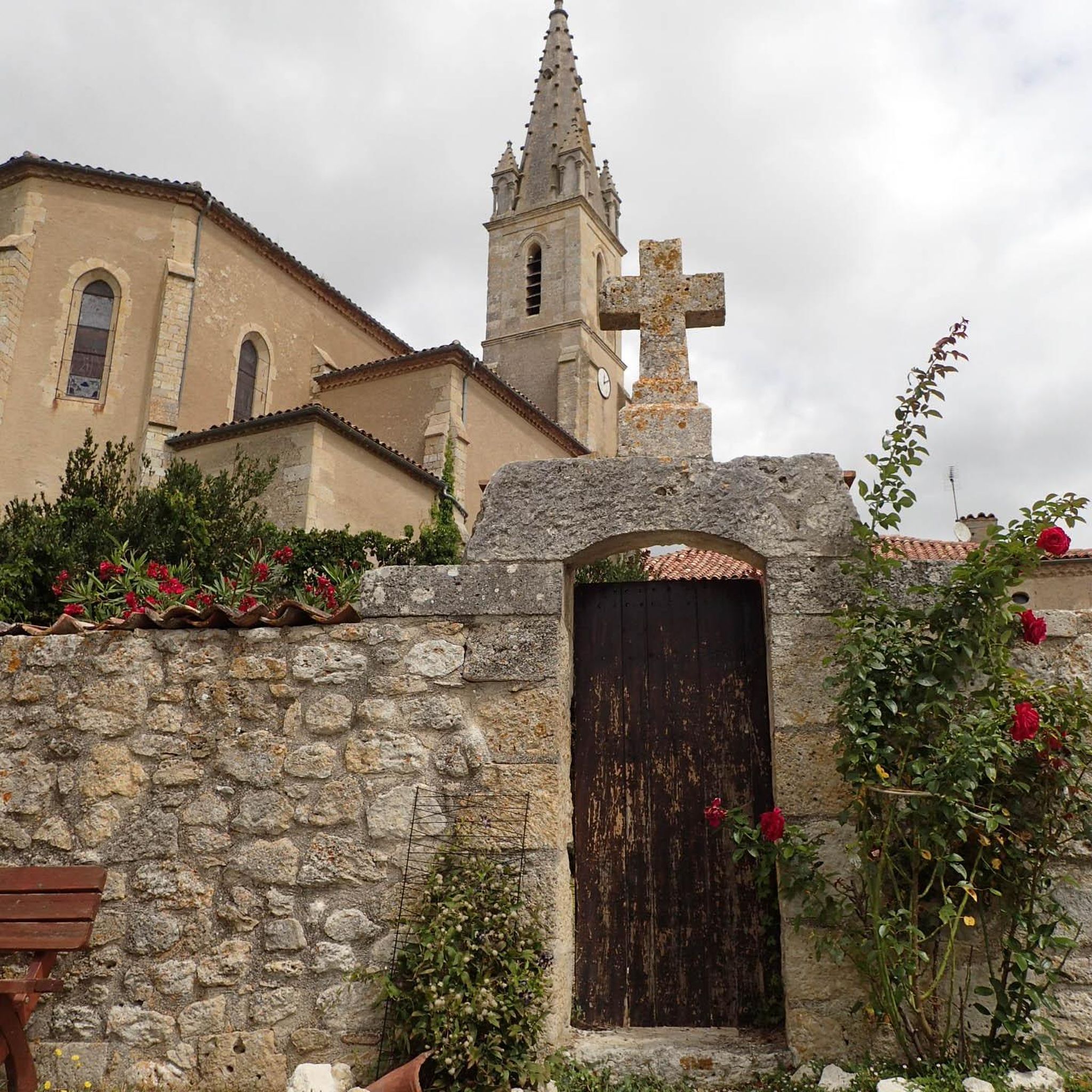
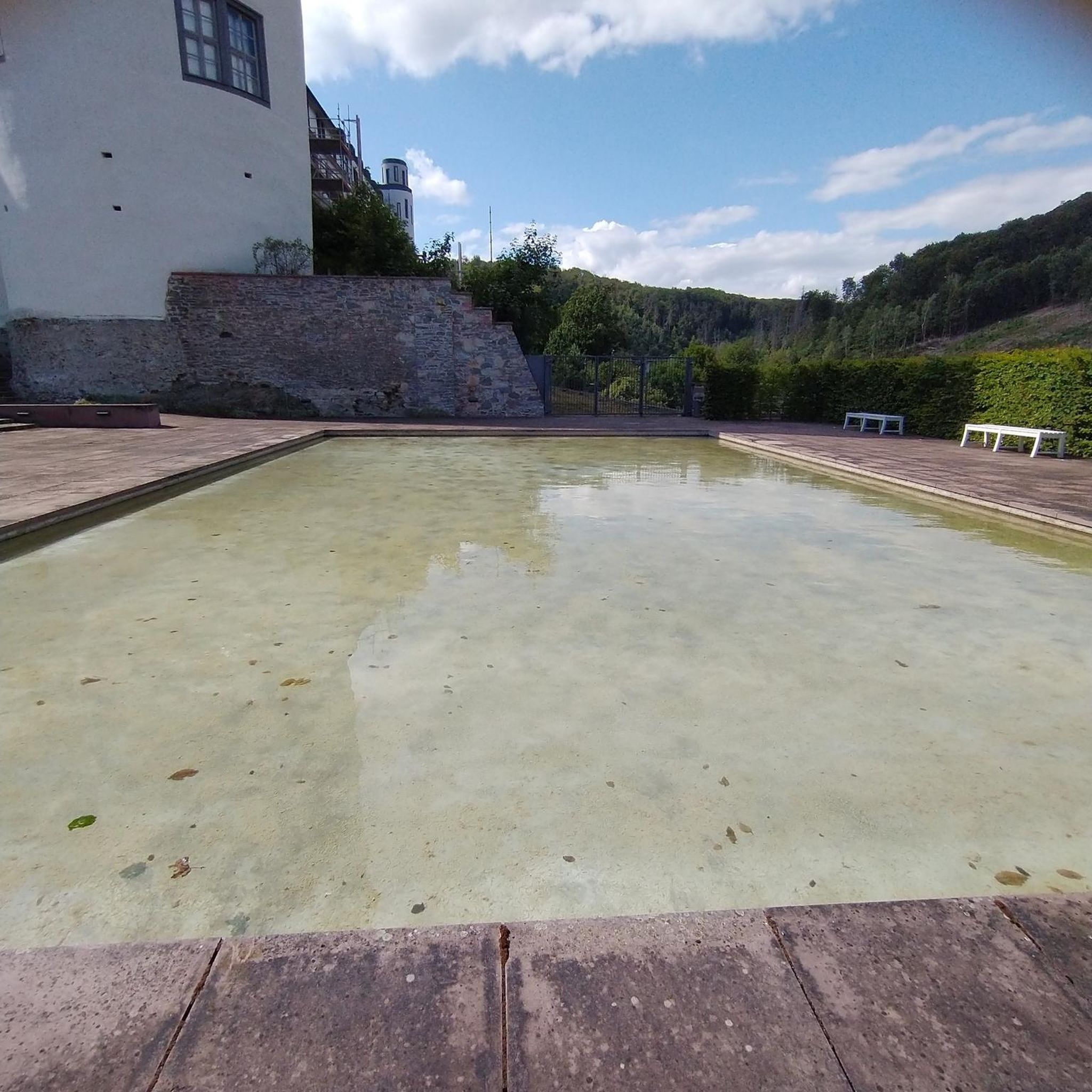
Tips from the Community

Riverfront Park in Salem is a scenic area with paved trails, boat docks, picnic shelters, wide open fields, and numerous sculptures. The park was once an industrial area that has since been converted. The entirety of the trails are ADA compliant, making this area accessible to wheelchairs and strollers.
0
0

At over 100 acres, Wallace Marine Park features a number of different paths that circle around the sports complex on the property and that get right up next to the Willamette River. You can do your entire run within the park, or you can just add on a park loop to your jog.
0
0

With its extensive network of peaceful trails winding through wetlands and woodlands along the Snake River, Minto-Brown Island Park in Idaho offers runners an ideal place to enjoy nature while logging mileage. Keep your eyes peeled for birds and other wildlife as you run through serene forests and open fields in this urban oasis perfect for rejuvenating runs.
0
0

The Peter Courtney Minto Island Bridge is a pedestrian and bicycle bridge that adjoins 3 riverfront parks: Minto-Brown Island Park, Riverfront Park, and Wallace Marine Park. It was constructed in 2017 and is a very popular place for walkers and cyclists.
0
0
Minto-Brown Island Park has everything you want in an urban park. It is very close to Salem, but is relatively undeveloped. It has several paved bike trails and is a very popular location for birders.
0
0

Originally built for the Salem, Falls City and Western Railway in 1912-13, the Union Street Railroad Bridge is now converted for bicycle and pedestrian use to connect West Salem and downtown.
0
0
The Peter Courtney Minto Island Bridge is a pedestrian and bicycle bridge that adjoins 3 riverfront parks: Minto-Brown Island Park, Riverfront Park and Wallace Marine Park. It was constructed in 2017 and is a very popular place for walkers and cyclists.
2
0
The Edgewater Trail is a paved path next to Edgewater Road. It is a great option to get off the main road and ride a quiet, traffic free-trail.
0
0
Frequently Asked Questions
How many running routes are available in Waldo Hills?
Komoot features 5 running routes in Waldo Hills. These routes offer a variety of experiences across the region's characteristic rolling prairies and agricultural lands. Over 150 runners have used komoot to explore these paths.
What is the typical terrain like for running in Waldo Hills?
The terrain in Waldo Hills is characterized by rolling prairies, agricultural lands, and oak savannas. Most running is done on rural roads, offering a peaceful setting with scenic views. The hills are low-elevation, typically between 400 and 800 feet, providing moderate challenges.
Are there dedicated running trails in Waldo Hills, or mostly rural roads?
Dedicated trail systems specifically designed for jogging are limited in Waldo Hills. The primary opportunities for running are found along the rural roads that traverse the rolling hills, agricultural lands, and oak savannas. These roads provide a scenic and peaceful environment for your run.
What kind of scenery can I expect on a run in Waldo Hills?
Runners in Waldo Hills can expect picturesque views of rolling prairies, active agricultural lands (including grass seed, wheat, oats, Christmas trees, and vineyards), and scattered oak savannas. The landscape is shaped by ancient lava flows, offering a unique backdrop of low-elevation hills.
Are the running routes in Waldo Hills suitable for families?
The running routes in Waldo Hills are generally moderate in difficulty and primarily utilize rural roads. While not specifically designated as 'family-friendly trails,' the scenic and less trafficked rural roads can be suitable for families looking for a peaceful run or walk together, depending on the route's specific characteristics and traffic levels.
Can I bring my dog on the running routes in Waldo Hills?
Many rural roads in Waldo Hills are suitable for running with dogs, provided they are kept on a leash and you adhere to local regulations regarding pets on public ways. Always ensure your dog is well-behaved and that you clean up after them to maintain the natural beauty of the area.
Is there parking available near the running routes?
Parking availability varies by route. For example, the Carson Springs loop starts from the Woodmansee Parking Lot. For other routes, parking may be available at trailheads, local parks, or designated roadside areas. It's advisable to check the specific route details on komoot for parking information before you go.
How do the running opportunities in Waldo Hills compare to Waldo Lake?
Waldo Hills offers a pleasant agricultural landscape with running primarily on rural roads. In contrast, Waldo Lake, located in the Cascade Mountains, provides extensive dedicated trail systems like the 20.5-mile Jim Weaver Loop Trail, known for its soft dirt terrain, exceptional clarity, and significant elevation changes. Waldo Hills is more about scenic road running, while Waldo Lake offers more rugged trail running experiences.
Are there any circular running routes in Waldo Hills?
Yes, several routes in Waldo Hills are designed as loops. For instance, the Mission Lake loop from Salem - Willamette Valley Airport is a moderate 5.6-mile circular path, and the Running loop from Kuebler Early Learning Center is a 5.0-mile loop through agricultural areas.
What is the best time of year to go running in Waldo Hills?
Waldo Hills can be enjoyed year-round, but spring and fall often offer the most pleasant running conditions with mild temperatures and vibrant scenery. Summer can be warm, so early morning or late afternoon runs are recommended. Winter runs are possible, but be mindful of potentially wet or icy rural roads.
Are there options for longer or more challenging runs in the area?
While most routes are moderate, the rolling topography of Waldo Hills provides natural elevation changes. The Carson Springs loop from Woodmansee Parking Lot is an 8.6-mile route with over 140 meters of elevation gain, offering a more extended and moderately challenging option for runners seeking a longer workout.
Can I access the running routes using public transport?
Public transport options directly to the rural running routes in Waldo Hills are limited due to the area's agricultural and residential nature. Most runners typically access these routes by car. It's best to plan your transportation in advance, as direct bus or train services to specific trailheads are not common.
Are there any places to eat or stay near the running routes in Waldo Hills?
Waldo Hills is primarily agricultural, so dedicated cafes, pubs, or accommodations directly adjacent to the rural running routes are scarce. However, nearby towns like Salem, Silverton, and Sublimity offer various dining and lodging options, typically a short drive away from the running areas.

Get inspired with the komoot mobile app


Explore more
Browse the best Running Trails & Routes in other regions.
