The 5 Most Amazing Peaks around Mittelstenahe
Best mountain peaks around Mittelstenahe are characterized by elevated points within a generally flat landscape. Mittelstenahe, located in the district of Cuxhaven in Lower Saxony, Germany, has a low elevation of 15 meters above sea level. While traditional mountain peaks are not present, the region offers various high points and summits that are categorized as mountain peaks on komoot. These geographical features provide opportunities for hiking and offer views over the surrounding terrain.
Best mountain peaks around Mittelstenahe
- The most…
Last updated: July 1, 2026
Observation Tower at the Deutscher Olymp
Highlight • Viewpoint
Translated by Google •
Tip by

Silberberg Summit (Wingst)
Highlight • Summit
Translated by Google •
Tip by

Sign up now to discover places like this
Get recommendations on the best single tracks, peaks, & plenty of other exciting outdoor places.
Sign up for free
Gretenberg (63 m)
Highlight • Summit
Translated by Google •
Tip by

Lamstedt Telecommunications Tower
Highlight • Monument

Silberberg (Highest point in the Elbe-Weser Triangle)
Highlight • Summit
Translated by Google •
Tip by

Start today with a free account
Your next adventure awaits.
Login or Signup
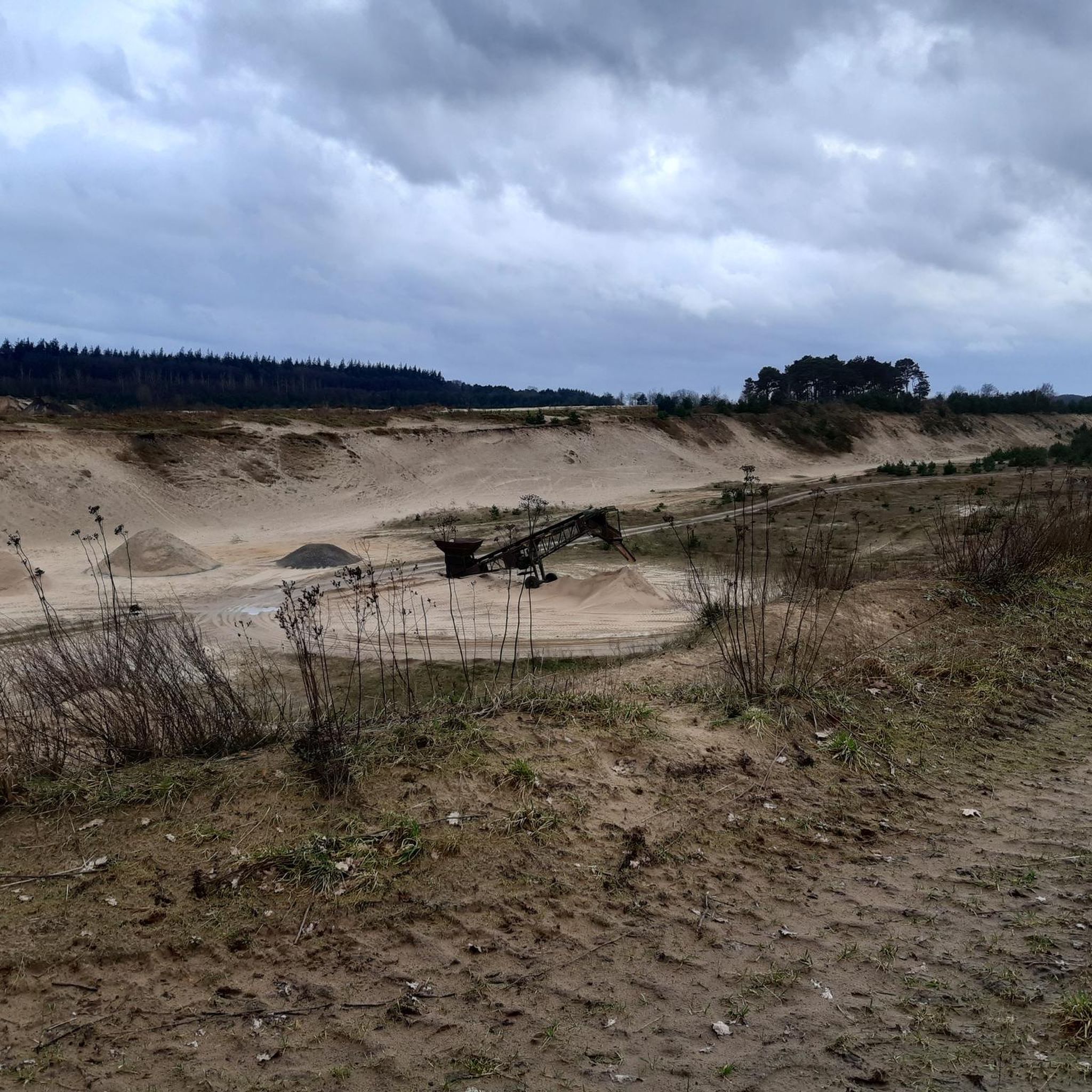
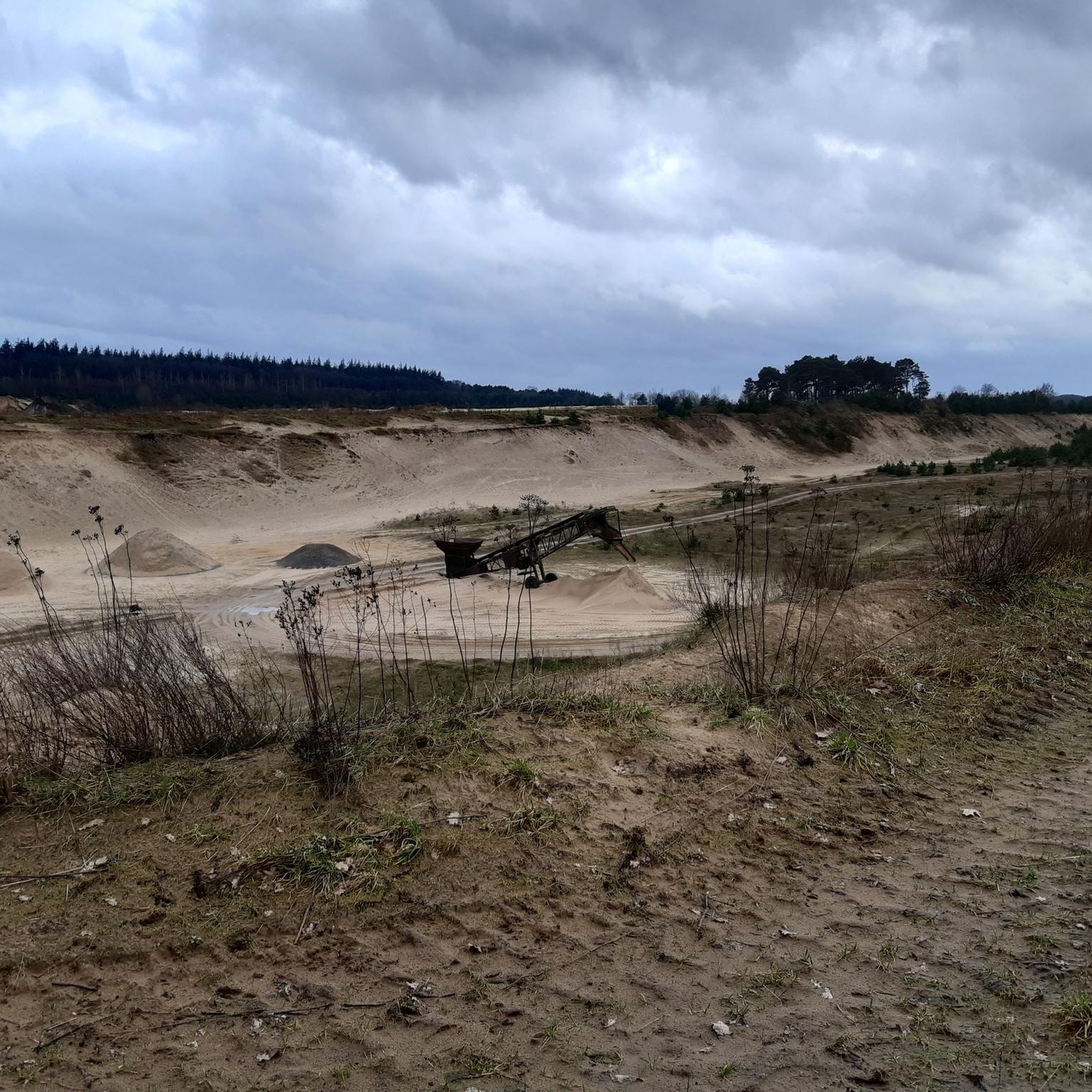
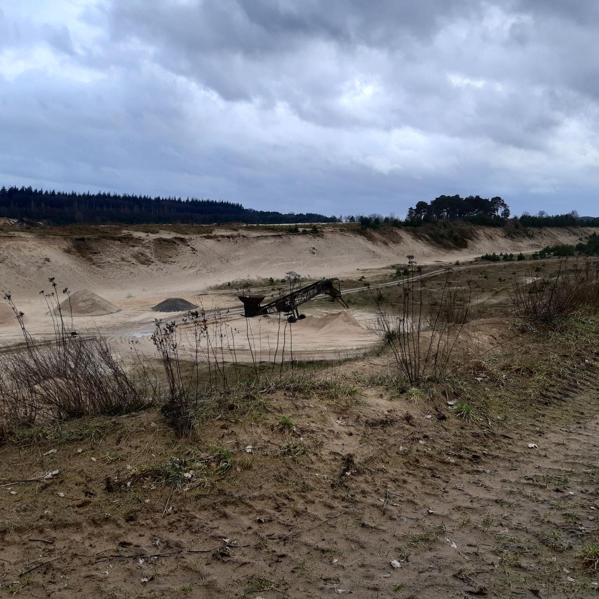
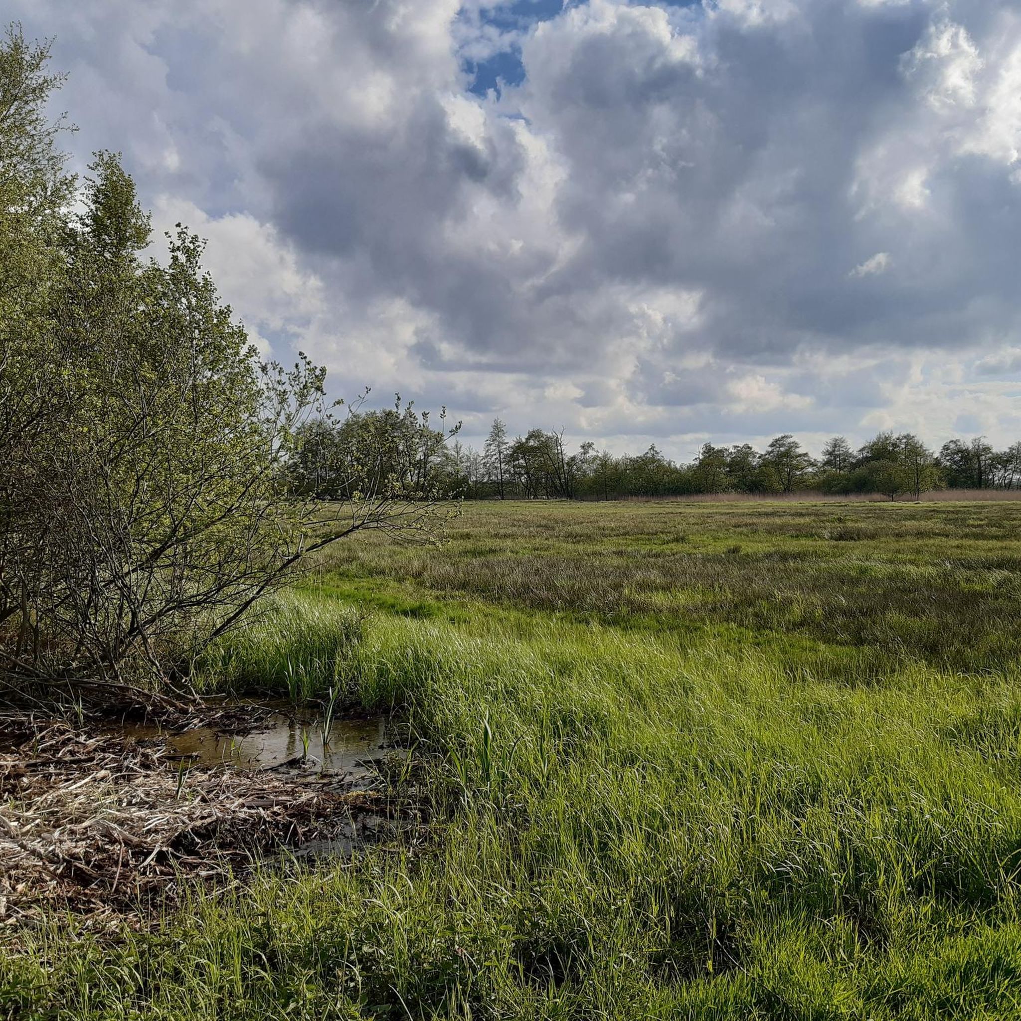
Tips from the Community

At approximately 74 meters above sea level, the Silberberg is the highest natural elevation in the Wingst region and the entire Elbe-Weser triangle. At the summit, you'll find a memorial plaque commemorating the legend of the giant family "Wingis," a historic Gauss stone, a bench, a summit cross, and a summit book. The area around the Silberberg is part of the Wingst Forest, which includes nature reserves such as the Balksee lake, the Quellental valley, and moors. Many signposted circular trails lead around the Silberberg.
3
0

In spring 2025, a summit cross was installed and visitors can sign a summit book.
0
0

Unfortunately, the old bench has now rotted away and the forest around it has been recently thinned out (2/2025).
0
0

At 63 meters, it is the second highest point in the Wingst after the nearby Silberberg.
1
0
You can't see far from the highest point in the district of Cuxhaven. But it's still worth a visit. There are a few benches for resting at the summit.
1
0

The telecommunications tower Lamstedt is a 171 meter high telecommunications tower of the Deutsche Funkturm in the Lamstedt district of Wohlenbeck.
0
0

On the Silberberg you can read a story about a huge family that tells how the mountain got its name. Also very nice resting place.
1
0

Highest elevation in the Wingst. According to legend, it was made from stones that a giant dug out of the resin and, thanks to their silvery sheen, mistook for silver.
2
0
Frequently Asked Questions
What are the most notable elevated points or 'mountain peaks' around Mittelstenahe?
While Mittelstenahe itself is very flat, the broader region offers several elevated points considered 'mountain peaks' on komoot. The most prominent include the Observation Tower at the Deutscher Olymp, which is about 62 meters above sea level and the highest point in the Wingst ridge. Another significant spot is Silberberg (Highest point in the Elbe-Weser Triangle), reaching 74 meters above sea level, making it the highest point in the Elbe-Weser triangle.
Are there any family-friendly elevated points to visit near Mittelstenahe?
Yes, several elevated points are suitable for families. The Observation Tower at the Deutscher Olymp is considered family-friendly, offering an observation tower. Additionally, the Silberberg Summit (Wingst) is also noted as family-friendly, providing a pleasant, hilly environment perfect for a snack.
What kind of views can I expect from these elevated points?
From elevated points like the Observation Tower at the Deutscher Olymp, you can expect panoramic views over the surrounding flat landscape of the Wingst ridge. Other summits like Silberberg Summit (Wingst) and Gretenberg (63 m), often situated within forests, offer glimpses of the natural environment and the gentle terrain typical of the region.
What outdoor activities can I do near these elevated points?
The area around Mittelstenahe, including the elevated points, is well-suited for various outdoor activities. You can find numerous routes for cycling, gravel biking, and mountain biking. For example, explore the Cycling around Mittelstenahe guide for touring bicycle routes, or check out the Gravel biking around Mittelstenahe guide for off-road adventures. There are also MTB Trails around Mittelstenahe for mountain biking enthusiasts.
Are there any facilities available at the elevated points, such as cafes or restrooms?
The Observation Tower at the Deutscher Olymp is listed as having facilities, which may include amenities like restrooms or information points. For other summits like the Silberberg, visitors often bring their own snacks, as it's described as a nice place for a picnic. It's advisable to check specific highlight details for up-to-date information on available facilities.
What is the highest point in the Wingst region?
The highest point in the Wingst region is the Observation Tower at the Deutscher Olymp, which stands at approximately 62 meters above sea level. It is home to the Earth Magnetic Observatory Wingst and an observation tower.
What do visitors say about the Silberberg Summit (Wingst)?
Visitors describe the Silberberg Summit (Wingst) as a very nice place for a snack, appreciating its pleasant, hilly environment. It's considered a great spot for a break during an outing.
How does Gretenberg compare to other elevated points in the Wingst?
Gretenberg (63 m) is the second highest point in the Wingst, reaching 63 meters. It is located near the Silberberg and offers similar forest and viewpoint experiences.
What is the best time to visit these elevated points?
The elevated points around Mittelstenahe can be enjoyed throughout the year. Spring and autumn offer pleasant temperatures for outdoor activities and clear views. Summer is ideal for longer days, while winter can provide a unique, quiet experience, though some paths might be muddy or icy. Always check local weather conditions before your visit.
Are there any specific tips for visiting the Observation Tower at the Deutscher Olymp?
The Observation Tower at the Deutscher Olymp is a significant landmark. It's worth noting that it was formerly known as Fahlenberg. The site includes the Earth Magnetic Observatory Wingst, adding a scientific element to your visit alongside the panoramic views from the tower.
What kind of natural features can I expect to see on trails around Mittelstenahe's elevated points?
The trails around Mittelstenahe's elevated points, particularly in the Wingst region, often lead through forests. You can expect to encounter natural monuments and enjoy the gentle, hilly terrain. These areas provide opportunities to experience the local flora and fauna typical of Lower Saxony's landscape.
Most popular routes around Mittelstenahe
Most popular attractions around Mittelstenahe

Get inspired with the komoot mobile app


Explore more
See even more amazing summits around Mittelstenahe with these guides:
