The best road cycling routes in Devils Den
4.9
(8)
442
riders
130
rides
Road cycling routes in Devils Den are situated within a beautiful forest in the Western Connecticut Planning Region. The area is characterized by rolling hills and dense woodlands, offering varied terrain for road cyclists. Routes often feature elevation changes and scenic views across the landscape, utilizing a network of paved roads.
Best road cycling routes in Devils Den
- The most popular road cycling route is Biddle Hill – Branchville Road Open Space loop from Branchville, a 31.8 miles (51.2…
Last updated: June 29, 2026
5.0
(1)
28
riders
Moderate road ride. Good fitness required. Mostly well-paved surfaces and easy to ride.
15
riders
Moderate road ride. Good fitness required. Some segments of this route may be unpaved and difficult to ride.

Sign up for free
28
riders
33.9km
01:43
310m
310m
Moderate road ride. Good fitness required. Some segments of this route may be unpaved and difficult to ride.
10
riders
30.5km
01:39
310m
310m
Moderate road ride. Good fitness required. Mostly well-paved surfaces and easy to ride.
5.0
(2)
16
riders
Moderate road ride. Good fitness required. Mostly well-paved surfaces and easy to ride.
Get access to more routes and recommendations from other explorers.
Sign up for free
Already have an account?
Our route recommendations are based on thousands of hikes, rides, and runs completed by other people on komoot.
Start today with a free account
Your next adventure awaits.
Login or Signup
Popular around Devils Den


Tips from the Community

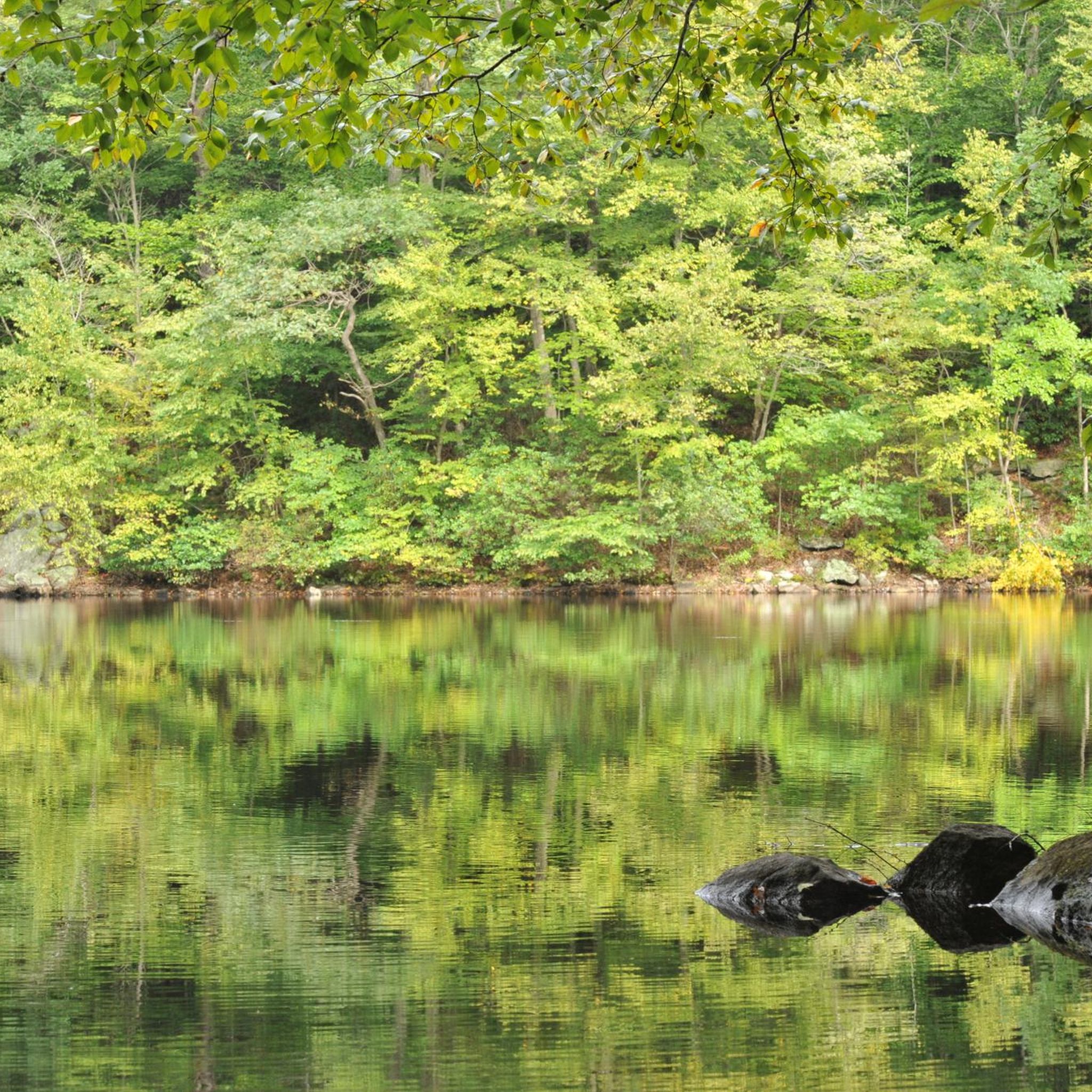
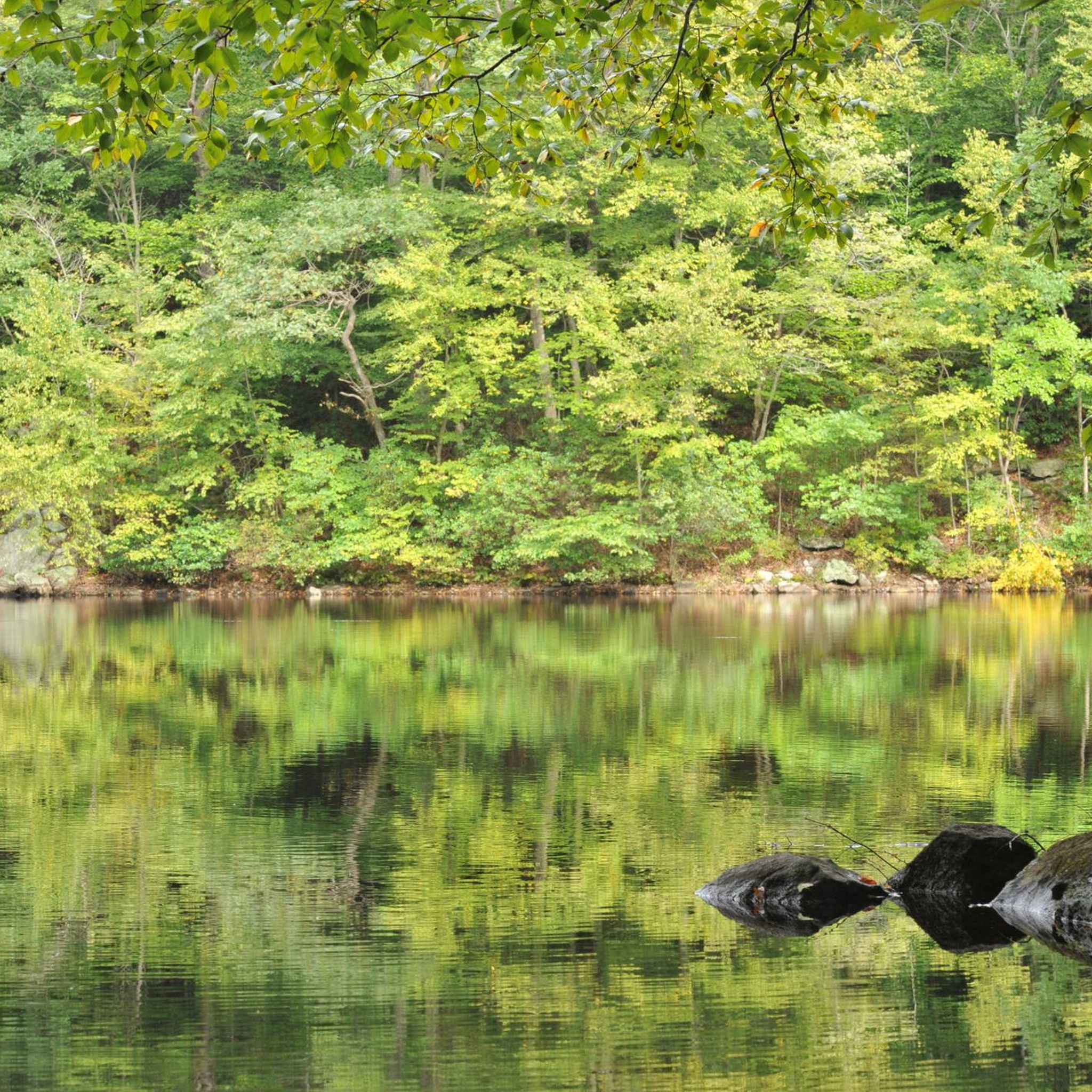
The Saugatuck Reservoir, an 827-acre manmade lake in Fairfield County, offers an angler's paradise just off the I-95 corridor. From Newtown Turnpike, you can catch beautiful views through the woods surrounding the reservoir, often with reflections of the sky in the still water.
0
0

Kents Pond is one of several lovely small ponds near Wilton Town Forest. The road that runs next to the pond is a quiet one, so if you are looking for a spot to have a break, you could pull off the road at this spot and enjoy the wonderful surroundings.
1
0

Biddle Hill is a 732-foot hill on Branchville Road. This is a nice climb in a quiet area and a good addition to any ride.
0
0
At this spot Silver Springs Swamp flows over a small dam into a small stream. This is a very pretty place to ride past as you explore the area.
0
0

If you're riding along River Rd, you'll come across Keene Park, a quiet and secluded park next to the Saugatuck River. It features a small playground for children and offers the opportunity to explore the wooded area by foot.
1
0

The U.S. Bicycle Route 7 (USBR 7) is a super nice, north-south bike trail that follows the Western New England Greenway through Connecticut, Massachusetts, and Vermont. This section goes through typical rural, rolling, green Connecticut countryside. It is a great road with gorgeous views.
0
0
Lewisboro Parks & Recreation are owned by the Town of Lewisboro. It encompasses the house, buildings, fields and a preserve that were donated to the local community in order to preserve them for future generations. There are a number of trails around the parks constructed by members of the local community. It includes Onatru Reservation and Onatru Park farm itself.
0
0

Look south across the pond to see this lovely crossing over the water. It looks especially photogenic in the fall.
0
0
Frequently Asked Questions
How many road cycling routes are available in Devils Den?
Devils Den offers a wide selection of road cycling routes, with over 120 options available. These routes cater to various skill levels, from easy to challenging.
What are the difficulty levels of road cycling routes in Devils Den?
The road cycling routes in Devils Den range from easy to difficult. You'll find approximately 27 easy routes, 87 moderate routes, and 13 difficult routes, ensuring options for all experience levels.
What kind of scenery can I expect while road cycling in Devils Den?
Road cycling in Devils Den offers stunning views of the Boston Mountains in the Ozarks. You'll encounter dense woodlands, rolling hills, and scenic vistas. The region is known for its unique geological formations, including bluffs and crevices, and picturesque features like Lee Creek and seasonal waterfalls after rain.
Are there any notable landmarks or attractions along the road cycling routes in Devils Den?
While road cycling, you'll be in the vicinity of Devil's Den State Park, known for its distinctive geological formations like the largest sandstone crevice area in the United States. You might also catch glimpses of historical Civilian Conservation Corps (CCC) structures, including the rock dam forming Lake Devil. Overlooks like the Yellow Rock Trail offer expansive views of the Lee Creek valley and the surrounding Ozark mountains. For more information on the park's natural features, you can visit Devil's Den State Park on Wikipedia.
When is the best time of year to go road cycling in Devils Den?
The region's natural beauty, including seasonal waterfalls and lush forests, is particularly vibrant after rain. Spring and fall generally offer pleasant temperatures for cycling, allowing you to fully appreciate the scenic landscapes of the Ozarks without extreme heat or cold.
Are there any circular road cycling routes in Devils Den?
Yes, many of the road cycling routes in Devils Den are designed as loops. For example, the Biddle Hill – Branchville Road Open Space loop from Branchville and the Trail at Lake Naraneka – Branchville Road Open Space loop from Branchville are popular circular options that allow you to start and end in the same location.
What are the typical lengths of road cycling routes in Devils Den?
The road cycling routes in Devils Den vary in length. You can find routes like the Sunset Hill loop from Branchville, which is about 30.5 miles (49 km), up to longer options such as the View of Browns Reservoir – Upper Bald Hill loop from Branchville, which covers approximately 37.3 miles (60 km).
Where can I find parking for road cycling in Devils Den?
While specific parking areas for individual routes are not detailed here, many routes, such as those starting 'from Branchville,' imply starting points in or near towns where parking facilities are typically available. For routes within or near Devil's Den State Park, designated parking lots are usually provided for visitors.
Are there places to eat or stay near the road cycling routes in Devils Den?
The region around Devil's Den State Park, including nearby towns, offers various amenities. While specific cafes, restaurants, or accommodations are not listed in detail, you can generally find options in the surrounding communities to refuel and rest after your ride.
What makes road cycling in Devils Den unique compared to other areas?
Road cycling in Devils Den is unique due to its location within the Boston Mountains of the Ozarks, offering a blend of challenging terrain and breathtaking natural beauty. The area features winding paved roads like Arkansas Highway 74 and sections of the 'Scenic 71 Loop' with broad sweepers and spectacular views, often with less commercial traffic due to the proximity of I-49. The geological formations and dense woodlands provide a distinctive backdrop for your rides.
Are there options for advanced road cyclists seeking a challenge?
Absolutely. The region's terrain, characterized by rolling hills and significant elevation changes, provides excellent challenges for advanced road cyclists. Routes like the 'Devil's Den Loop' bikepacking route, which incorporates both gravel and pavement, are known for climbs of 600 to 1,000 feet, offering robust cycling adventures with expansive vistas.
What do other cyclists say about road cycling in Devils Den?
The road cycling routes in Devils Den are highly rated by the komoot community, with an average score of 4.8 stars from over 36 reviews. Cyclists often praise the varied terrain, dense woodlands, and scenic reservoir views, highlighting the diverse experiences available for different ability levels.
Are there any road cycling routes that pass by reservoirs?
Yes, several routes offer views of local reservoirs. For instance, the View of Browns Reservoir – Upper Bald Hill loop from Branchville provides scenic views of Browns Reservoir. Another option is the View of Saugatuck Reservoir – View of Saugatuck Reservoir loop from Trout Brook Valley State Park Reserve, which offers picturesque reservoir vistas.
Most popular routes in Devils Den

Get inspired with the komoot mobile app


Explore more
Browse the best Road cycling routes in other regions.
