The best road cycling routes around Blackcraig Forest
4.8
(10)
732
riders
57
rides
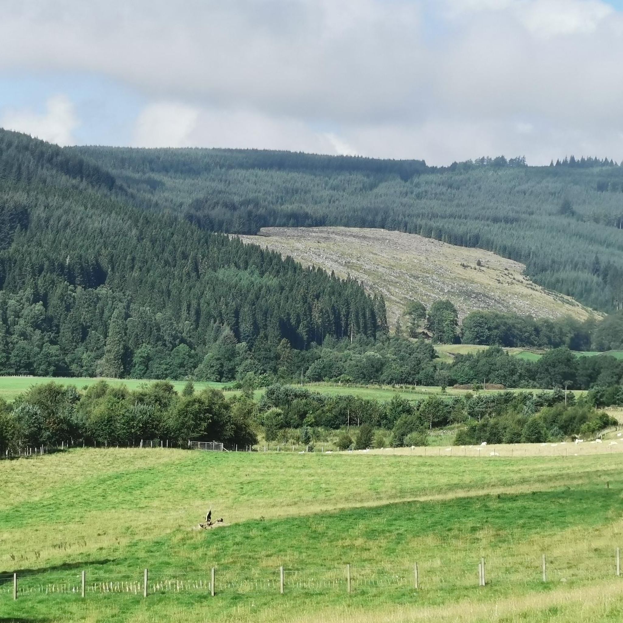
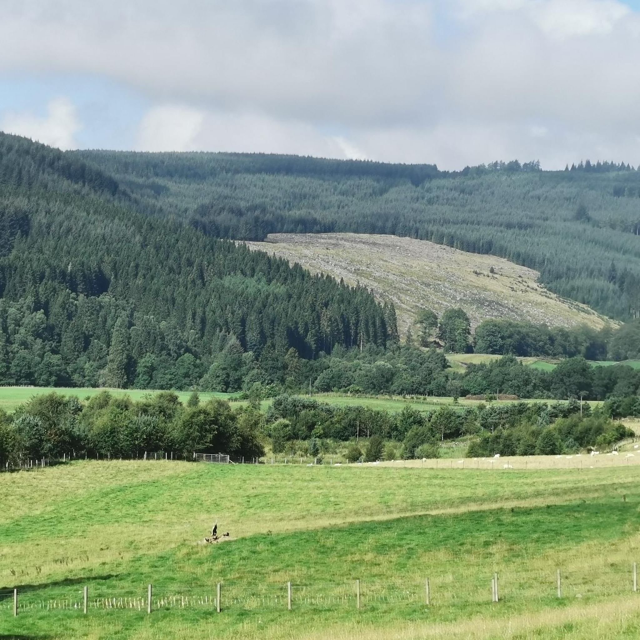
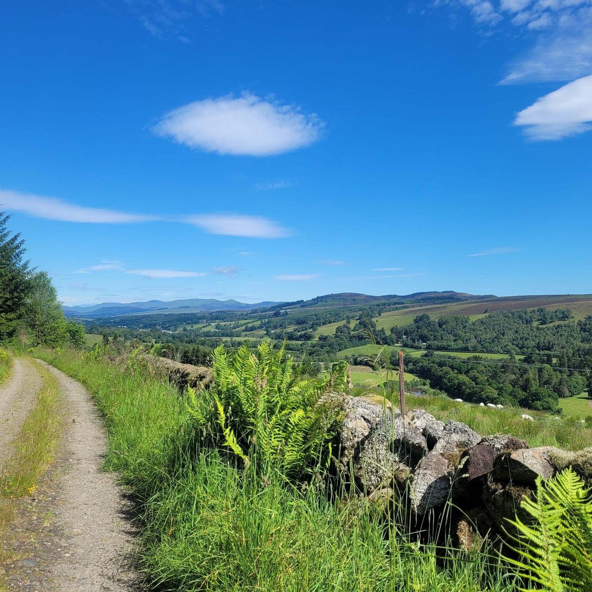
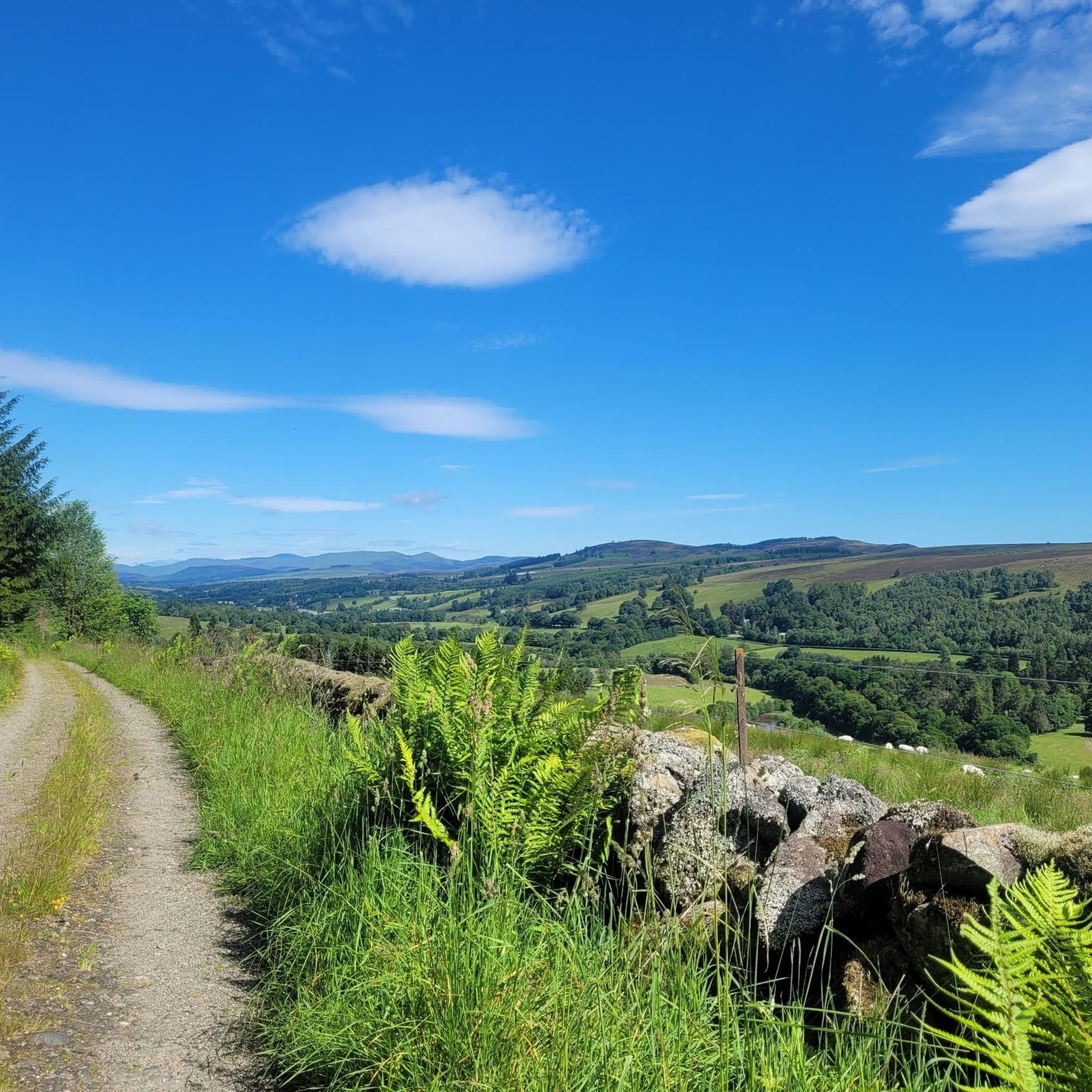
Road cycling routes around Blackcraig Forest offer a diverse landscape in eastern Highland Perthshire. The area features a blend of commercial spruce plantations and native woodlands, transitioning to open hillsides with expansive views across Strathardle. Terrain includes long ascents and fast descents on varied forest roads, some well-surfaced and others more rugged. Cyclists can explore paths along the River Ardle and ascend Blackcraig Hill for panoramic vistas.
Best road cycling routes around Blackcraig Forest
- The most popular road cycling route…
Last updated: July 8, 2026
5.0
(1)
33
riders
114km
05:26
1,340m
1,340m
Hard road ride. Very good fitness required. Some segments of this route may be unpaved and difficult to ride.
10
riders
24.9km
01:03
180m
180m
Easy road ride. Great for any fitness level. Mostly well-paved surfaces and easy to ride.

Sign up for free
13
riders
68.7km
02:53
530m
530m
Moderate road ride. Good fitness required. Mostly well-paved surfaces and easy to ride.
23
riders
48.9km
02:19
600m
600m
Moderate road ride. Good fitness required. Some segments of this route may be unpaved and difficult to ride.
12
riders
15.8km
00:40
130m
130m
Easy road ride. Great for any fitness level. Mostly well-paved surfaces and easy to ride.
Get access to more routes and recommendations from other explorers.
Sign up for free
Already have an account?
Our route recommendations are based on thousands of hikes, rides, and runs completed by other people on komoot.
Start today with a free account
Your next adventure awaits.
Login or Signup
Tips from the Community

A steady 8-10% climb from the south - amazing views.
0
0

Very delicious food, friendly service - my full recommendation! For those who the name "the bothy" doesn't mean anything: A Scotsman explained to me that a "bothy" is a hut (usually) in the mountains that has everything a wet, tired, hungry hiker needs for making fire, cooking, and sleeping. After use, the hut is returned to a clean state by the hiker, everything that can be replenished is replenished, and the rest is done by volunteers who have dedicated themselves to this task. Great thing!
0
0

During our cycling trip through the Cairngorms, we slept in a bothy every night, but we didn't find it anywhere else as comfortable as this one ;-) Delicious coffee and food. Plenty of room for everyone, and with an outdoor shop next door, it's also the perfect place to stock up on rations.
3
0


Glenshee Kirk stands on the site of a late Neolithic or early Bronze Age standing stone, still visible behind the church. A simple parish church, it reflects the austere style of remote Scottish churches and remains an active place of worship, with a popular Christmas service. The name "Glenshee" derives from the Gaelic shith (fairies), and legend tells that fairies thwarted its original construction at Runavey, forcing builders to relocate. The standing stone would have once been visible from Diarmuid’s Tomb stone circle.
0
0
The Spittal of Glenshee takes its name from the Old Scots word "spittal," meaning a hospital or resting place. Historically, it served as a shelter for travelers crossing the Cairngorms, especially drovers moving cattle and goods across the Highlands. It was an important stop for pilgrims and traders, providing respite from the harsh mountain terrain. Located at the head of Glenshee valley, the area was historically inhabited by the Clan Farquharson and other Highland clans, and served as a key point linking northern and southern Scotland. Over time, the settlement grew from a simple refuge into a more established community, reflecting the broader heritage of the Scottish Highlands and their role in connecting different regions.
0
0
After the Union of Parliaments in 1707, droving became essential to the Scottish economy, enabling livestock movement to markets across the border. Demand for cattle peaked during the Napoleonic Wars, as salt beef was needed for the British army and navy. Highland cattle were driven from northern glens along established drove roads to markets like Crieff and Falkirk. Drovers played a key role, facing dangers like thieves and living on a diet of oats, whisky, and black pudding. By the late 19th century, droving declined with the advent of railways and steamships. The Monega Pass and the Old Road from Spittal of Glenshee to Kirkmichael were key routes, with Kirkmichael’s Michaelmas Fair becoming a major cattle market by the mid-18th century. Marker stones, such as a stone circle on Elrig’s south slope and another at Calaminach Wood, highlight the route’s importance. The Monega Pass was used by drovers avoiding the steep Devil’s Elbow, and was reportedly favored by smugglers. Queen Victoria traveled this route shortly before Prince Albert’s death in 1861.
0
0
Bridge of Cally is a small village north of Blairgowrie, historically serving as a gateway to the Highland Glens. Situated at the junction of Glenshee and Strathardle, it centers around an ancient bridge over the River Ardle. The village lies along the A93, also known as the Snow Roads Scenic Route, which follows an 18th-century military road that once facilitated troop movements, highlighting the area’s strategic significance. Notable landmarks include the Bridge of Cally Hotel, formerly the Invercauld Arms, which operated as a temperance establishment until the 1960s. While now a key stop for visitors en route to Glenshee Ski Centre, the village maintains its historical charm and continues to serve as a vital local hub.
1
0
Frequently Asked Questions
What kind of terrain can I expect on road cycling routes around Blackcraig Forest?
Road cycling routes in Blackcraig Forest offer a varied landscape, transitioning from commercial spruce plantations and native woodlands to open hillsides with expansive views across Strathardle. You'll encounter long ascents and fast descents on forest roads, some of which are well-surfaced, while others can be more rugged. The area is rarely flat, providing a dynamic ride.
Are there road cycling routes suitable for beginners or families in Blackcraig Forest?
Yes, Blackcraig Forest offers routes for various skill levels. For an easier option, consider the Path Along the River Ardle loop from Bridge of Cally. This 15.5-mile (24.9 km) route follows tranquil waters and is rated as easy, making it suitable for those seeking a less challenging ride or a family outing.
How many road cycling routes are available in the Blackcraig Forest area?
There are over 50 road cycling routes available around Blackcraig Forest, catering to a range of abilities from easy to difficult. This extensive network provides plenty of options for exploration.
What do other road cyclists enjoy most about cycling in Blackcraig Forest?
The komoot community highly rates the road cycling experience in Blackcraig Forest, with an average score of 4.6 stars. Cyclists often praise the diverse woodlands, the transition to open hillsides with panoramic views, and the engaging mix of ascents and descents that make for a dynamic ride.
Are there any notable landmarks or scenic viewpoints along the road cycling routes?
Absolutely. Cycling through Blackcraig Forest offers opportunities for stunning viewpoints, especially from higher elevations like Blackcraig Hill, which provides panoramic vistas across Strathardle. You can also find picturesque stretches along the River Ardle and potentially spot Loch Charles with its old boatshed, offering a peaceful scenic stop.
Are there any circular road cycling routes in Blackcraig Forest?
Many of the routes in Blackcraig Forest are designed as loops, offering circular journeys. An example is the Loch of Clunie – Blairgowrie Bridge loop from Kinloch, an easy 15.9-mile (15.9 km) route that allows you to start and finish in the same location.
Where can I find parking for road cycling in Blackcraig Forest?
While specific parking locations are not detailed in the route descriptions, many routes, such as the Glen Isla – The Bothy Café loop and the Path Along the River Ardle loop, start from Bridge of Cally, which is a common access point for the area and likely offers parking facilities.
Can I bring my dog on road cycling routes in Blackcraig Forest?
While the forest roads are generally accessible, it's important to consider the safety and comfort of your dog, especially on longer or more challenging routes. The varied terrain, including some rugged sections, might not be suitable for all dogs. Always ensure your dog is well-behaved, on a lead where necessary, and that you carry enough water for both of you.
Are there any cafes or places to stop for refreshments near the road cycling routes?
Yes, towns like Bridge of Cally and Blairgowrie, which serve as starting points or nearby hubs for many routes, offer cafes and other amenities. For example, the Escape Route Café Pitlochry – Escape Route Bike Shop loop from Kirkmichael specifically mentions a cafe in its name, indicating refreshment stops are available in the wider region.
What is the best time of year for road cycling in Blackcraig Forest?
The diverse woodlands and open hillsides of Blackcraig Forest can be enjoyed throughout the warmer months. Spring and autumn offer pleasant temperatures and beautiful scenery with changing foliage. While some forest roads are well-maintained, conditions can vary, so checking local weather and trail conditions is always advisable, especially during winter when some sections might be more challenging.
Are there any challenging road cycling routes for experienced riders?
Yes, experienced riders seeking a challenge will find options. The Glen Isla – The Bothy Café loop from Bridge of Cally is a difficult 63.7-mile (102.5 km) route with significant elevation gain, offering a demanding ride through varied landscapes.
Can I access Blackcraig Forest cycling routes using public transport?
While specific public transport links directly into the forest are limited, nearby towns like Bridge of Cally and Blairgowrie may have bus services that could provide access points. It's recommended to check local bus schedules and routes for connections to these areas, from which you can then cycle to the forest's trailheads.
What kind of bike is best suited for road cycling in Blackcraig Forest?
While many forest roads are suitable for traditional road bikes, the region research indicates that some sections can be 'rocky and bumpy.' Therefore, a more robust road bike, a touring bike, or even a gravel bike might offer more comfort and versatility, especially if you plan to explore less-maintained tracks within the forest.
Most popular routes around Blackcraig Forest

Get inspired with the komoot mobile app


Explore more
Browse the best Road cycling routes in other regions.
