The best running trails around Coed Tyglas
4.5
(8)
923
runners
49
runs
Jogging around Coed Tyglas offers access to diverse landscapes within the southern part of Snowdonia National Park. The region features dense woodlands, river paths along the Afon Dulas and Afon Deri, and historical slate mining sites. Terrain varies from moderate paths to routes with significant elevation gains, providing options for different fitness levels. This area is characterized by its natural beauty and historical significance, creating an engaging environment for runners.
Best jogging routes around Coed Tyglas
- The most popular jogging…
Last updated: August 22, 2026
3
runners
20.7km
02:28
620m
620m
Hard run. Very good fitness required. Mostly paved surfaces. Suitable for all skill levels.
13
runners
5.42km
00:34
30m
30m
Moderate run. Good fitness required. Mostly paved surfaces. Suitable for all skill levels.

Sign up for free
184
runners
9.36km
02:01
790m
790m
The Minffordd Path Cadair Idris Loop offers a difficult jogging challenge, covering 5.8 miles (9.4 km) with a significant elevation gain of 2601 feet (793 metres). You can expect to…
58.1km
08:13
2,750m
2,760m
The Corris Round is a difficult 36.1-mile (58.1 km) jogging route in Snowdonia National Park with 9031 feet (2753 metres) of elevation gain.
67
runners
Hard run. Very good fitness required. Sure-footedness, sturdy shoes and alpine experience required.
Get access to more routes and recommendations from other explorers.
Sign up for free
Already have an account?
Our route recommendations are based on thousands of hikes, rides, and runs completed by other people on komoot.
Start today with a free account
Your next adventure awaits.
Login or Signup

Tips from the Community

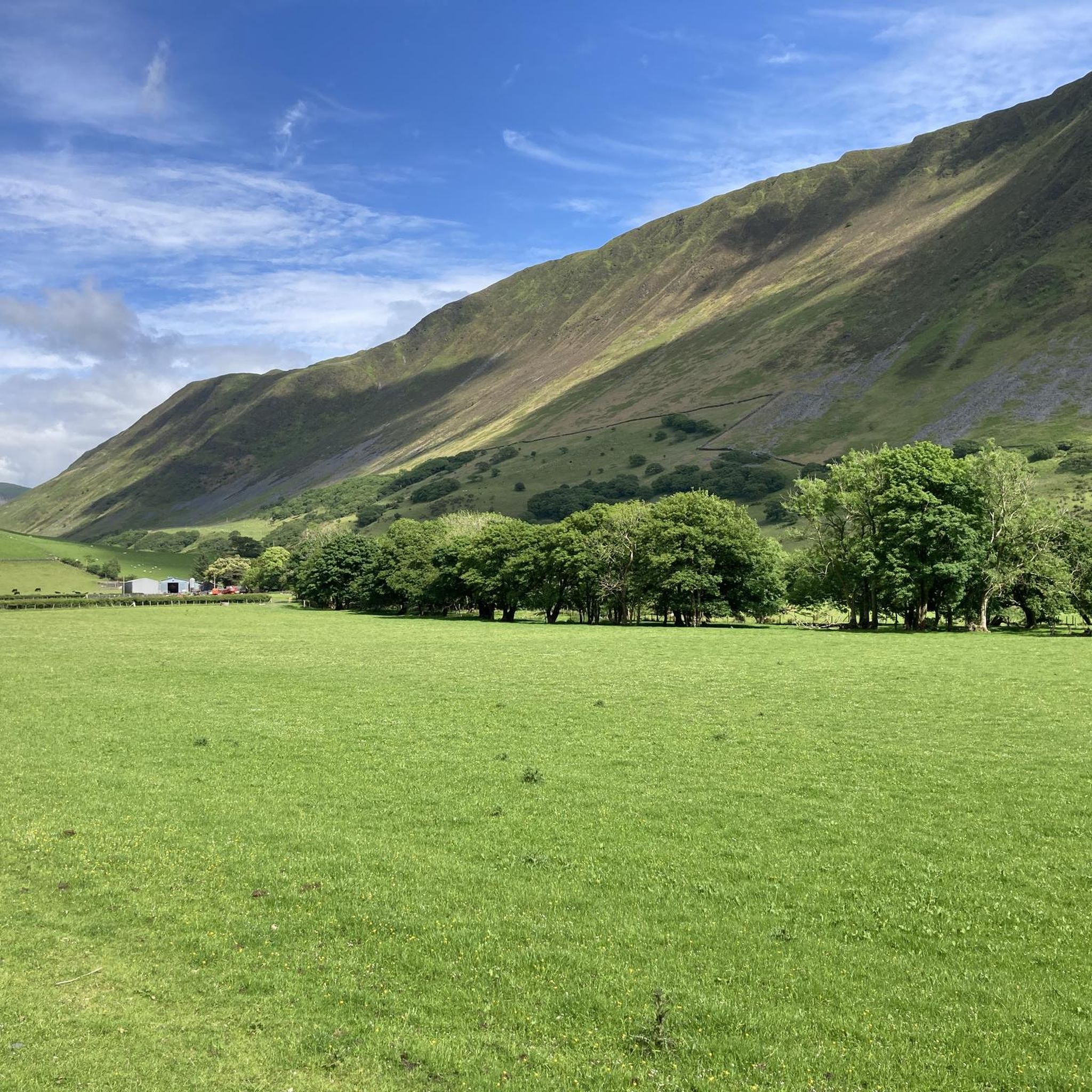
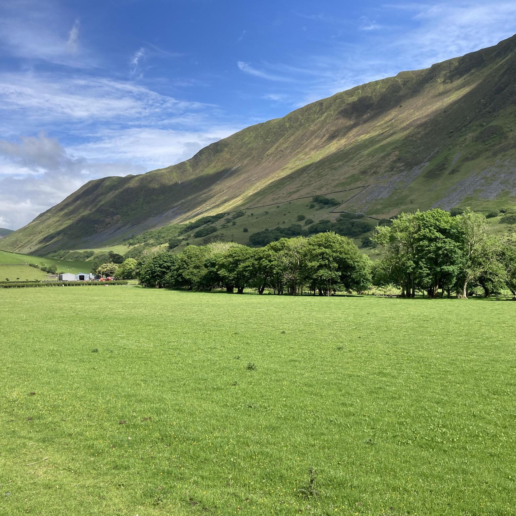
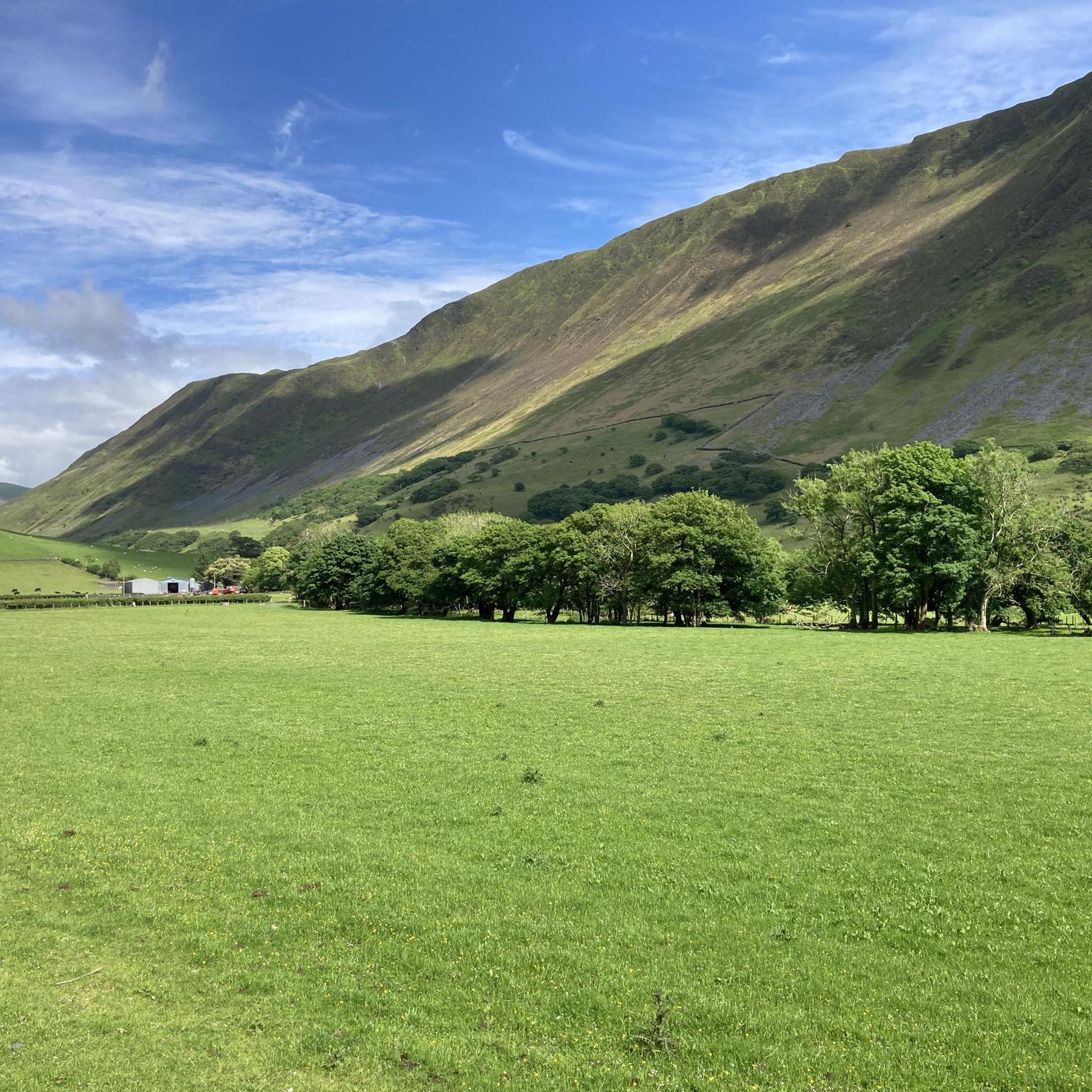
According to legend, Cader is named after a giant called Idris Gawr. 'Cadair Idris' means 'Chair of Idris' in English, while 'Cader' can also refer to an ancient fortress. The place is known as Cader Idris rather than Cadair, but both names are used. The most famous local fable is that if you spend the night on the mountain, you will go mad or become a poet. (Visit Wales)
6
0
It is worth the effort. At the top, you enjoy a beautiful view in all directions. It cannot be captured in photos.
6
0
Here you can, after the crossing (ladder), go to Mynydd Moel (up) or to the Dol Idris parking (down).
5
0
This last climb is very difficult due to the many loose stones and rocky ground.
9
0
Llyn Cau remains beautiful even though you only see it partially through the gorge.
6
0
The Minffordd Path (Welsh: Llwybr Minffordd) starts on the south side of the mountain, near the glacial lake Tal-y-llyn. Hikers following this route climb past Llyn Cau and along the edge of Craig Cau (a rock face) to Penygadair. The route is 4.4 kilometres long and includes two ascents of over 300 metres. (Wikipedia)
6
0
The Minffordd path should not be underestimated. It is a steep climb with alternating stairs, gravel paths, and rough rocky trails. The small lake Llyn Cau is a pleasant break along the way. Don't linger there too long.
6
0

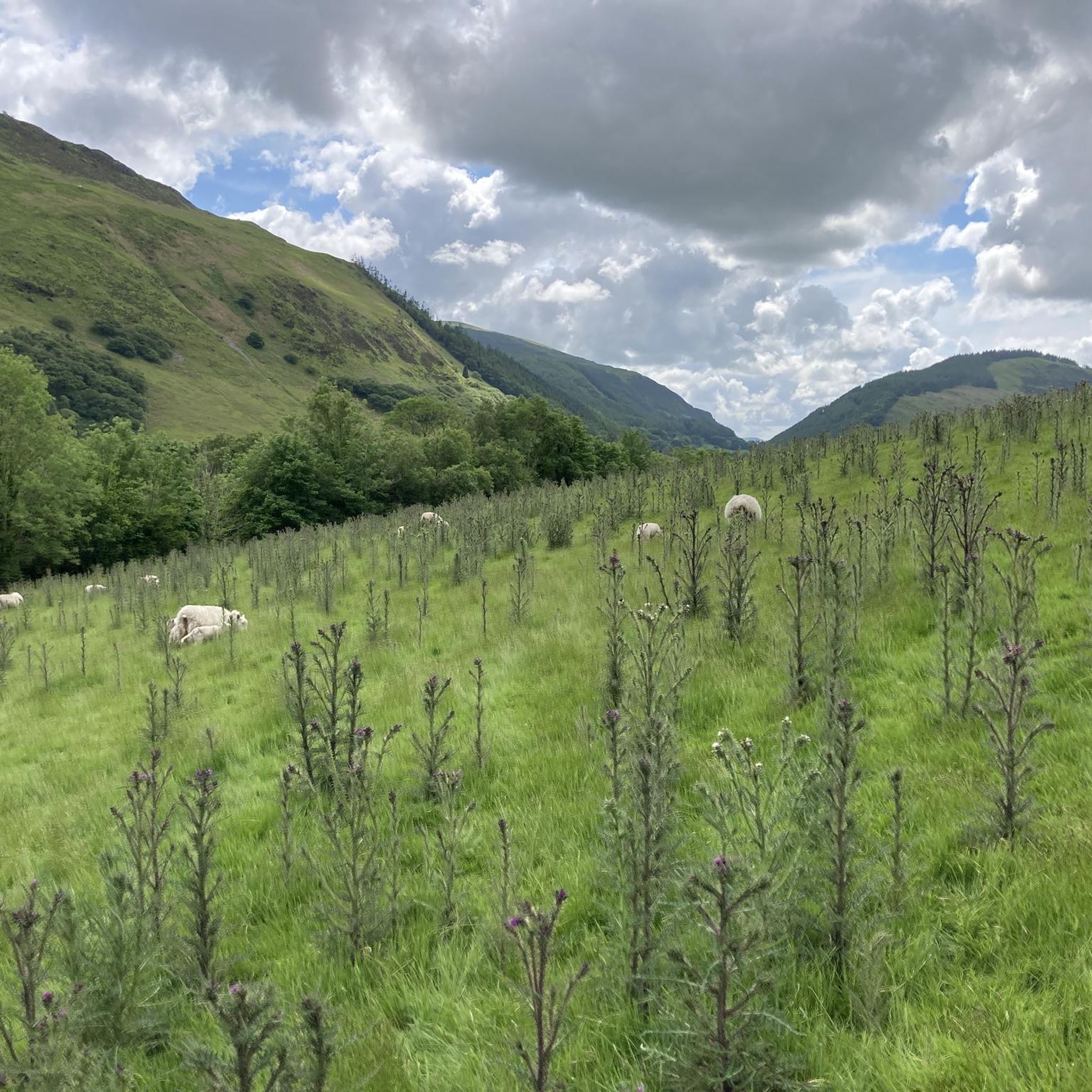
The walk to bag the 633m summit of Tarrenhendre is not as popular or busy as those on its more famous neighbour on Cadair Idris, but you do get a nice, lovely, scenic and historic walk out of it. There are nice views to be had from the summit too. If you want to add another hill to your tally, then you can easily extend your walk to take in nearby Tarren y Gesail.
0
0
Frequently Asked Questions
How many running routes are available around Coed Tyglas?
There are over 50 running routes available around Coed Tyglas. These include a variety of options, with 1 easy route, 26 moderate routes, and 25 difficult routes, catering to different fitness levels and preferences.
What kind of terrain can I expect on the running routes near Coed Tyglas?
The terrain around Coed Tyglas is quite varied. You can expect to run through dense woodlands, along picturesque river paths like the Afon Dulas and Afon Deri, and past historical slate mining sites. Some routes feature significant elevation gains, especially those venturing towards the mountainous vistas of Snowdonia National Park, while others offer more moderate paths.
Are there challenging trail runs in the Coed Tyglas area?
Yes, Coed Tyglas offers several challenging trail runs. For instance, the Minffordd Path Cadair Idris Loop is a difficult 5.8-mile (9.4 km) trail with significant elevation, leading through mountainous terrain. Another demanding option is the Corris Round, a very long and difficult route covering over 36 miles (58 km).
What natural features or scenic views can I expect while running in Coed Tyglas?
Runners in Coed Tyglas will enjoy dense woodlands, offering shaded routes and a sense of immersion in nature. River paths along the Afon Dulas and Afon Deri provide picturesque scenery and the soothing sound of flowing water. Being in the south of Snowdonia National Park, higher trails may also offer impressive mountainous vistas.
Are there any historical sites or landmarks to see along the jogging routes?
Yes, the landscape around Corris and Coed Tyglas is rich in history. Many routes will take you past remnants of former slate quarries and old tramways, offering unique points of interest. The area's industrial heritage is a significant part of its charm, blending natural beauty with historical exploration.
Are there any family-friendly running routes in Coed Tyglas?
While many routes in Coed Tyglas involve varied terrain and elevation, there are options suitable for families looking for a less strenuous jog. The Tal-y-llyn Lake loop from Llyn Mwyngil is a moderate 3.4-mile (5.4 km) path that offers a scenic and relatively flat loop, which could be a good choice for families.
Are the running trails in Coed Tyglas dog-friendly?
Generally, the walking and hiking trails in the Coed Tyglas area are dog-friendly, but it's always recommended to keep dogs on a lead, especially in areas with livestock or sensitive wildlife. The dense woodlands and river paths provide excellent environments for dogs to explore alongside their owners.
What do other runners enjoy the most about jogging in Coed Tyglas?
The running routes in Coed Tyglas are highly rated by the komoot community, with an average score of 4.5 stars from 8 reviews. Runners often praise the diverse landscapes, the sense of immersion in nature provided by the dense woodlands, and the variety of routes that cater to different ability levels.
Is there parking available near the running trails in Coed Tyglas?
While specific parking details for every trailhead are not provided, the area around Corris, being a popular outdoor destination, typically offers parking facilities. It's advisable to check local signage or specific route descriptions on komoot for designated parking areas near your chosen starting point.
Can I access Coed Tyglas running routes using public transport?
Public transport options to Coed Tyglas and the surrounding Corris area exist, though they might be limited. For detailed information on bus services or train connections to nearby towns, it's best to consult local transport schedules or regional travel websites.
Are there any circular running routes in Coed Tyglas?
Yes, many of the routes in Coed Tyglas are designed as circular loops, allowing you to start and finish at the same point. An example is the Corris loop from Corris Uchaf, a 12.9-mile (20.7 km) trail that explores varied terrain and brings you back to your starting location.
What wildlife might I encounter on the running trails?
The diverse ecosystems of Coed Tyglas, with its woodlands and river environments, attract a variety of birds and mammals. You might spot various tree species like oak, ash, and birch, and the moist areas near rivers support thriving mosses and ferns. Keep an eye out for local birdlife and smaller woodland creatures.
Most popular routes around Coed Tyglas

Get inspired with the komoot mobile app


Explore more
Browse the best Running Trails & Routes in other regions.
