The best running trails in The Stang Forest
4.8
(13)
943
runners
72
runs
Jogging routes in The Stang Forest traverse a landscape characterized by pine forests and fells overlooking the Stainmore Gap and Tees Valley. The region offers diverse trails, from gentle, mostly paved paths to more challenging off-road options with significant elevation changes. Runners can explore routes with gradual climbs or more strenuous ascents, providing varied terrain for different fitness levels. The tranquil forest setting offers a natural environment for running.
Best jogging routes in The Stang Forest
- The most popular jogging…
Last updated: June 28, 2026
10
runners
17.4km
01:59
500m
500m
Hard run. Very good fitness required. Mostly paved surfaces. Suitable for all skill levels.
11
runners
9.88km
01:11
230m
230m
Moderate run. Good fitness required. Mostly paved surfaces. Suitable for all skill levels.

Sign up for free
10
runners
Moderate run. Good fitness required. Mostly paved surfaces. Suitable for all skill levels.
6
runners
7.62km
00:50
150m
150m
Moderate run. Good fitness required. Mostly paved surfaces. Suitable for all skill levels.
3
runners
Moderate run. Good fitness required. Mostly paved surfaces. Suitable for all skill levels.
Get access to more routes and recommendations from other explorers.
Sign up for free
Already have an account?
Our route recommendations are based on thousands of hikes, rides, and runs completed by other people on komoot.
Start today with a free account
Your next adventure awaits.
Login or Signup

Tips from the Community

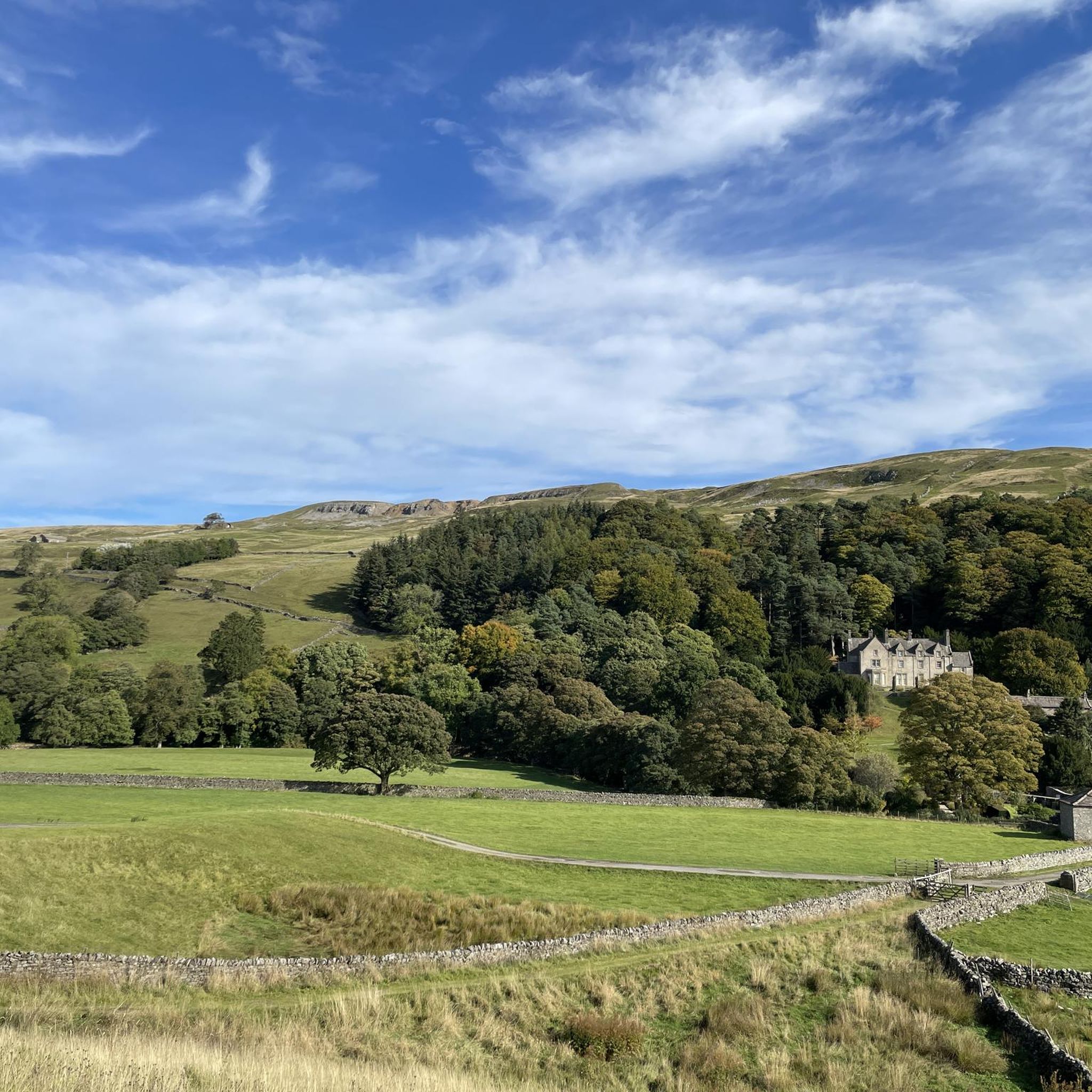
One of the largest and most open village greens in the Yorkshire Dales, historically used for markets, fairs, and livestock trading — the social heart of Swaledale long before tourism arrived. The green’s broad, triangular shape reflects its medieval origins as a common grazing and gathering space. Plenty of parking around the village green, but having arrived at 7am in winter for a hike and finding them all full, I suspect other times of the year will be even more difficult to secure a space.
2
0
The stone bridge is a Grade II listed structure and one of the key historic crossings of the River Swale, linking Reeth with Grinton and the old Corpse Way route. Despite its modest size, it has survived multiple major Swaledale floods, making it one of the more quietly resilient pieces of infrastructure in the dale.
1
0

A wonderful village on the Coast to Coast Path. There are plenty of places to stay around the village green. The village youth play football on the lawn, including the very young ones. Very nice!
1
0

The bridge crosses the River Tees
0
0

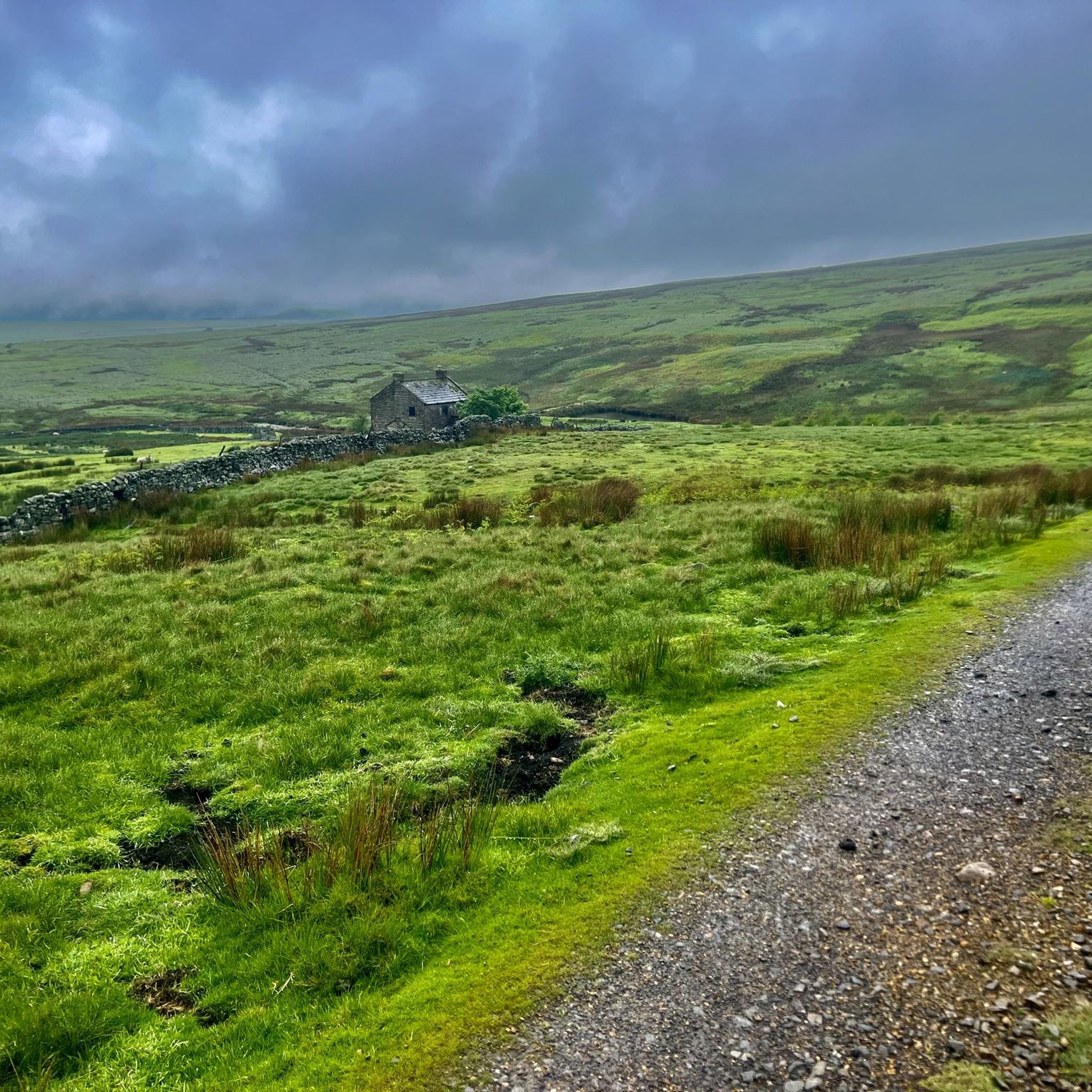
Leave some extra time if you’ve enjoyed the food at Dales Bike Centre Café. Also be prepared for the Stang or more climbs after this starter
0
0

In the case of a "market cross," as we encounter here again, one would have to ask the fundamental question of whether it is actually primarily a small sacred monument—as its cross shape suggests—or whether it is more of a secular object. In times long past, such a cross—unlike classic wayside crosses or field crosses—was only allowed to be erected if the corresponding locality also possessed so-called "market rights"—that is, if it had been granted them by the local ruler.
0
0

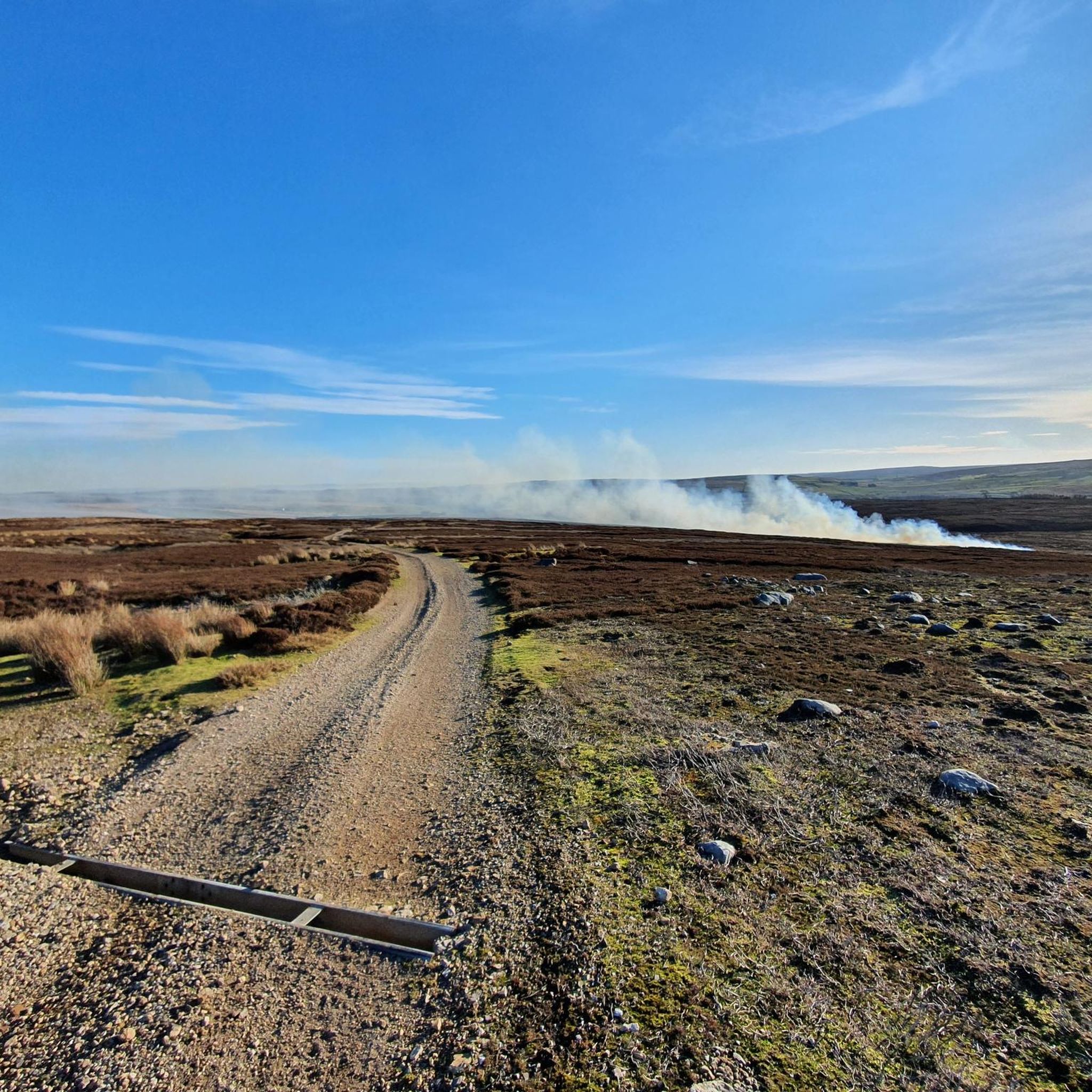
The Old Gang are the ruins of a lead smelting mill, it dates back to the 18th and 19th centuries. It is one of the best preserved up in the north, and is designated a Scheduled Ancient Monument. This trail runs right through it, passing by various building ruins, mine entrances, and the peat store.
1
0
Frequently Asked Questions
How many running routes are available in The Stang Forest?
The Stang Forest offers a wide selection of running routes, with over 70 trails mapped on komoot. These routes cater to various fitness levels, including easy, moderate, and challenging options.
What kind of terrain can I expect on the jogging trails in The Stang Forest?
You'll find a diverse range of terrain, from gentle, mostly paved paths suitable for all skill levels to more challenging, off-road trails with significant elevation gains. The well-surfaced paths are generally gentle with gradual climbs, making them enjoyable even in potentially wet conditions. Running on softer forest trails can also offer a more natural and less impactful experience.
Are there any running routes that pass by historical sites or notable landmarks?
Yes, several routes offer glimpses of the region's history and natural beauty. For instance, the difficult Pinseat Moonscape – Old Gang Smelt Mill Ruins loop from Arkengarthdale takes you past the 18th and 19th-century Old Gang Smelt Mill Ruins, a well-preserved historical site. You can also find routes near the beautiful Whaw Bridge spanning Arkle Beck.
Are there any scenic viewpoints along the running trails in The Stang Forest?
Absolutely. The Stang Forest is known for its stunning views across the countryside. Specific vantage points like Citron Seat (446m on Gilmonby Moor) offer excellent views towards Bowes, Barnard Castle, and Mickle Fell. How Tallon, another high point, provides outstanding views north across County Durham, from the Pennines to the sea.
Are there any family-friendly jogging routes in The Stang Forest?
While specific family-friendly routes aren't explicitly highlighted, the forest offers a variety of gentle, mostly paved paths with gradual climbs that could be suitable for families. Look for routes marked as 'easy' or 'moderate' for less strenuous options.
Can I bring my dog on the running trails in The Stang Forest?
The tranquil setting of The Stang Forest is generally welcoming for outdoor activities with dogs. However, it's always recommended to keep dogs under control, especially given the abundant wildlife like deer and pheasants, and to check for any specific local signage or regulations on individual trails.
Are there any circular running routes available?
Yes, many of the running options in The Stang Forest are designed as circular loops, allowing you to start and finish at the same point. Examples include the popular Running loop from Boldron and The Red Lion Inn loop from Arkengarthdale.
What is the best season to go running in The Stang Forest?
The Stang Forest offers enjoyable running conditions throughout much of the year. The well-surfaced paths can be good even in wet conditions. However, for the best views and most comfortable temperatures, late spring, summer, and early autumn are often preferred. Always check local weather conditions before heading out.
Are there any running routes that include a pub stop?
Yes, for those who enjoy a refreshment after their run, the The Red Lion Inn loop from Arkengarthdale is a popular choice among local runners, leading through varied countryside and offering the opportunity for a pub visit.
How do other runners rate the trails in The Stang Forest?
The running routes in The Stang Forest are highly rated by the komoot community, with an average score of 4.8 stars from over 10 reviews. Runners often praise the varied terrain, the tranquil forest setting, and the opportunities to explore historical sites and scenic viewpoints.
Are there options for long-distance or challenging trail runs?
Absolutely. For runners seeking a challenge, The Stang Forest offers more strenuous options exceeding 10 miles and 1000 ft of elevation gain, which require very good fitness. The difficult Pinseat Moonscape – Old Gang Smelt Mill Ruins loop from Arkengarthdale is a prime example, covering 10.8 miles with significant elevation.
Is parking available for accessing the running trails?
While specific parking locations are not detailed for every route, The Stang Forest features well-maintained forestry roads, suggesting access points and potential parking areas. It's advisable to check the starting points of individual routes for specific parking information.
Most popular routes in The Stang Forest

Get inspired with the komoot mobile app


Explore more
Browse the best Running Trails & Routes in other regions.
