The best walks and hikes in Sierra De Belarra
4.7
(114)
1,025
hikers
58
hikes
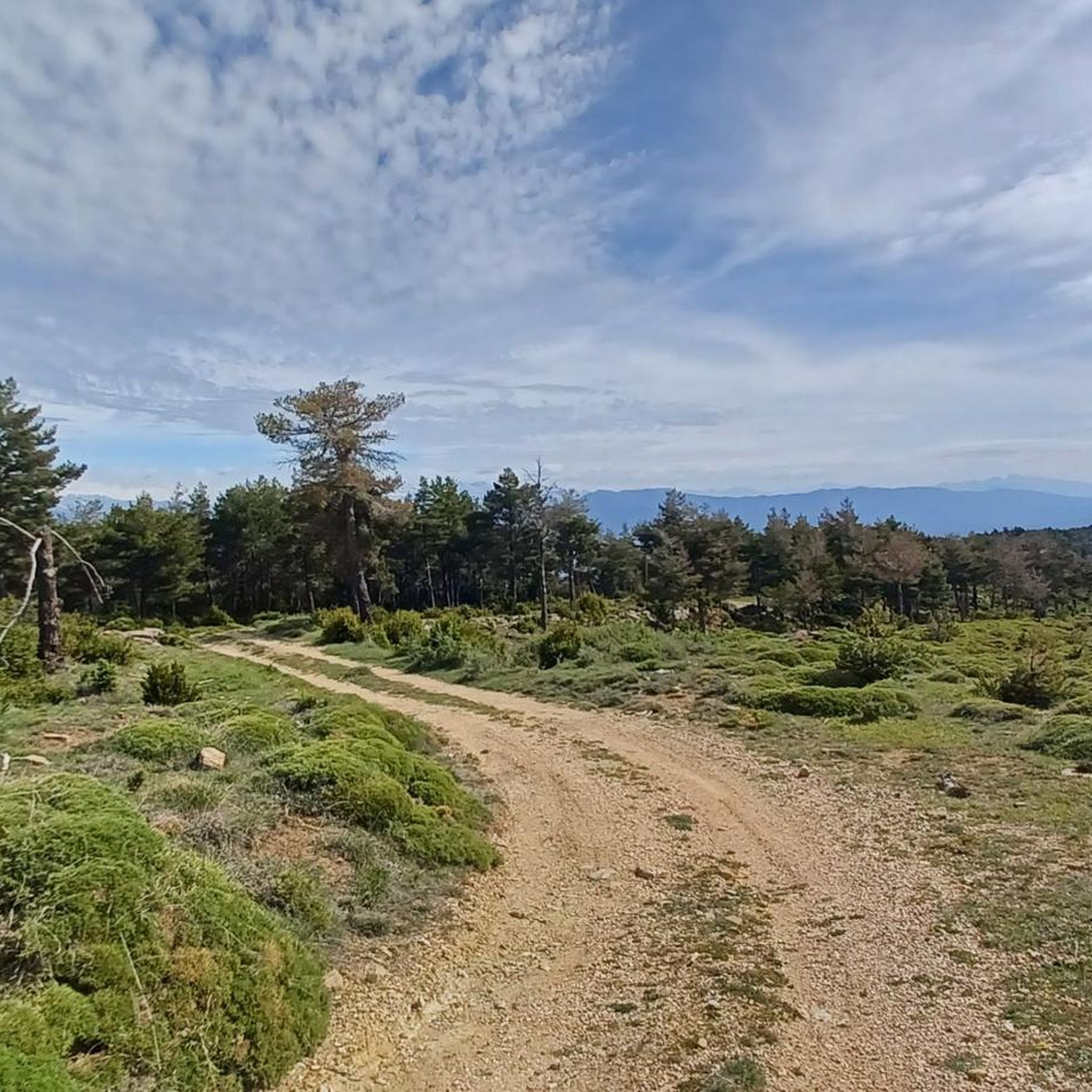
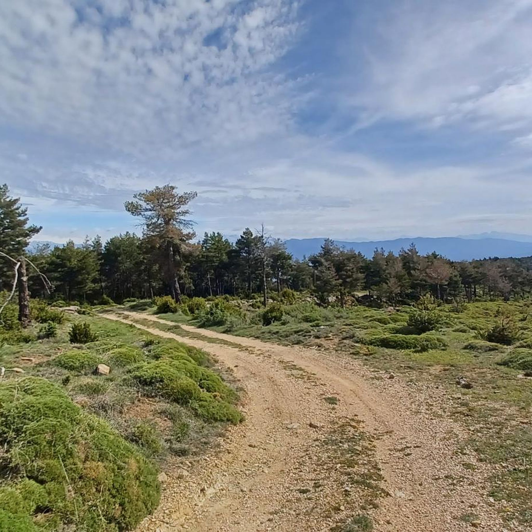
Hiking in Sierra De Belarra offers routes through forested areas within the mountainous region of La Jacetania. The terrain features varied elevations, from gentle paths to more challenging ascents. This area is known for its natural beauty, providing diverse landscapes for outdoor activities.
Best hiking trails in Sierra De Belarra
- The most popular hiking route is Tozal de Guara Loop from Nocito, a 13.3 miles (21.4 km) trail that takes 7 hours 39 minutes to complete. This difficult route…
Last updated: July 4, 2026
38
hikers
21.4km
07:38
1,210m
1,210m
Hike the demanding 13.3-mile Tozal de Guara circular from Nocito, gaining 3976 feet for panoramic Pyrenees views.
5.0
(8)
37
hikers
11.3km
03:22
330m
330m
Moderate hike. Good fitness required. Easily-accessible paths. Suitable for all skill levels.

Sign up for free
5.0
(4)
30
hikers
15.9km
04:29
320m
330m
Moderate hike. Good fitness required. Easily-accessible paths. Suitable for all skill levels.
4.7
(3)
12
hikers
11.6km
03:45
500m
510m
Moderate hike. Good fitness required. Easily-accessible paths. Suitable for all skill levels.
4.7
(3)
12
hikers
13.3km
04:15
550m
550m
Moderate hike. Good fitness required. Easily-accessible paths. Suitable for all skill levels.
Get access to more routes and recommendations from other explorers.
Sign up for free
Already have an account?
Our route recommendations are based on thousands of hikes, rides, and runs completed by other people on komoot.
Start today with a free account
Your next adventure awaits.
Login or Signup
Tips from the Community

Beautiful town at the foot of Tozal de Guara
0
0
All of Guara is spectacular. The sanctuary has beautiful views of the Tozal de Guara.
1
0

From Lusera to Ibirque via the beautiful “Barraco de Ortato”, this hike is worth the detour, Ibirque is an abandoned village.
0
0

Roof of the Sierra de Guara. Mountain experience necessary
0
0

Ideal spot for a quality night stop with a campsite perched in the heart of the mountains
0
0

Between Bentué de Nocito and Nocito there is a nice stretch of rocky path through the forest surrounded by boxwood. If you do it downhill it's a lot of fun, if you do it uphill it's demanding.
0
0

The Nocito Bridge is a medieval construction with two arches over the Guatizalema River. The bridge is made of ashlar masonry and has been beautifully restored.
0
0

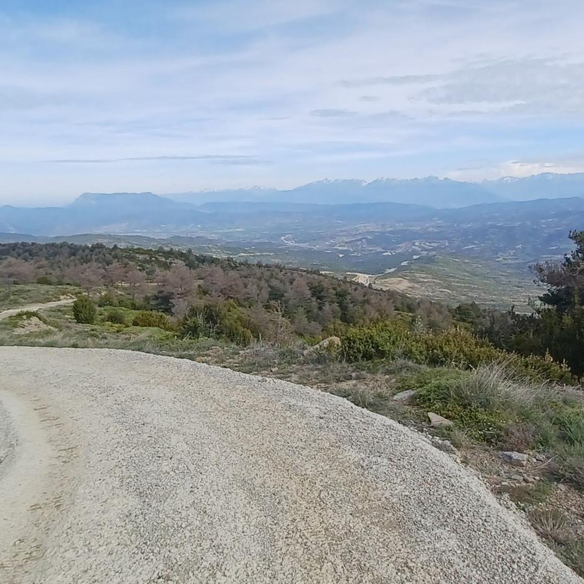
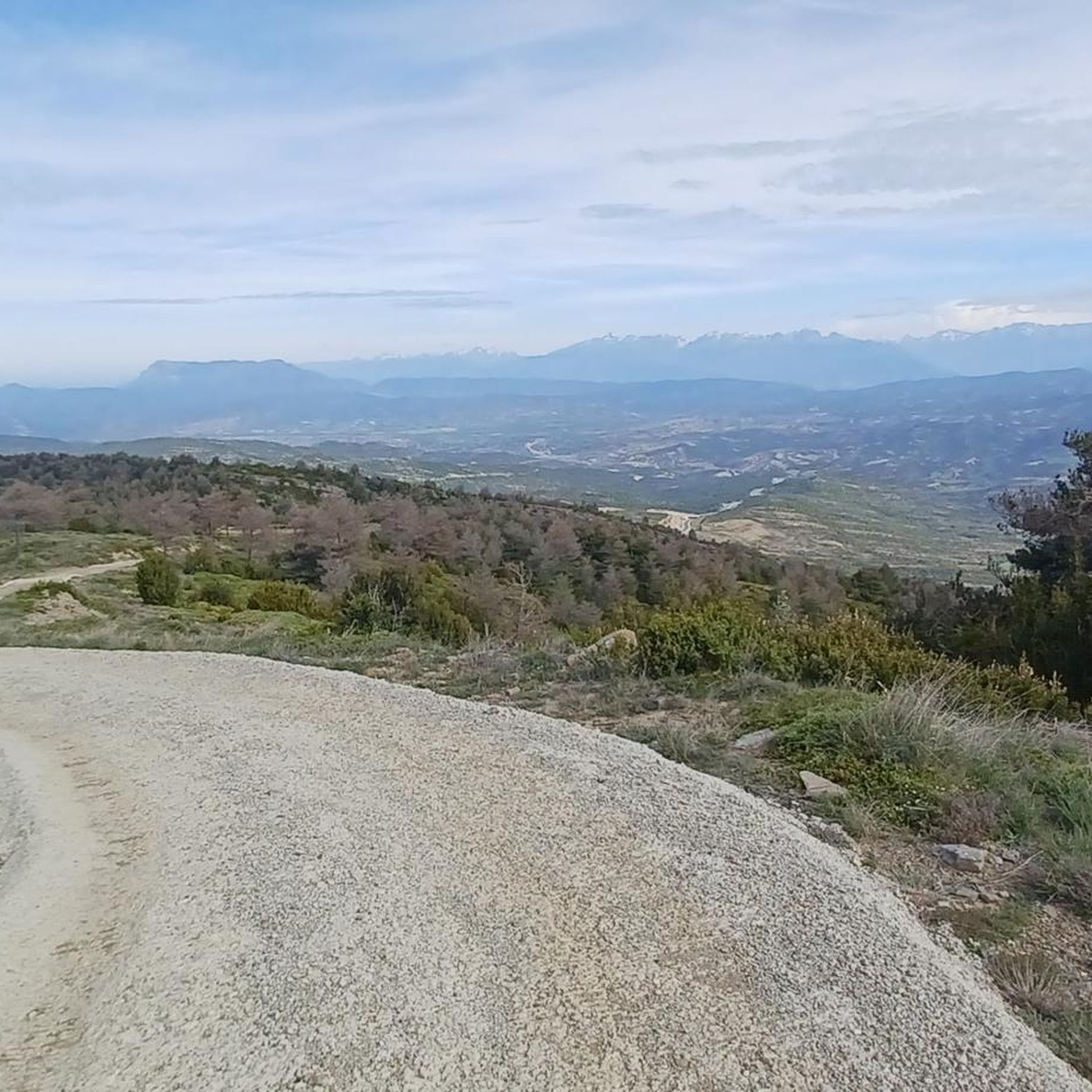
From this roof of the Pre-Pyrenees you can see the entire Aragonese Pyrenees and even beyond.
0
0
Frequently Asked Questions
How many hiking trails are available in Sierra De Belarra?
There are over 50 hiking routes in Sierra De Belarra, offering a diverse range of experiences. These include everything from moderate walks to more challenging ascents through forested areas and varied terrain.
Are there any circular walks in Sierra De Belarra?
Yes, Sierra De Belarra features several popular circular routes. A notable option is the Nocito Village – Puente de Nocito loop from Nocito, a moderate 7.1-mile (11.3 km) path that circles the village and bridge. Another is the Barranco de Otal Natural Pool loop from Lúsera, which is 7.2 miles (11.6 km) long and leads through varied terrain.
What kind of terrain and elevation can I expect on hikes in Sierra De Belarra?
Hiking in Sierra De Belarra involves varied terrain and elevations. You'll find forested paths, deep valleys, and mountainous areas with both gentle sections and significant ascents. For instance, the Tozal de Guara Loop from Nocito is a difficult route with over 1,200 meters of elevation gain, while other trails offer more moderate climbs.
Are there any natural pools or water features to explore?
Yes, the region is known for its natural pools and water features. The Barranco de Otal Natural Pool loop from Lúsera and the Barranco de Otal Natural Pool loop from Nocito are popular routes that lead to these refreshing spots.
What do other hikers say about the trails in Sierra De Belarra?
The trails in Sierra De Belarra are highly rated by the komoot community, with an average score of 4.7 stars from over 100 reviews. Hikers often praise the diverse landscapes, the well-preserved forests, and the variety of routes available for different skill levels.
What are the best times of year to go hiking in Sierra De Belarra?
The mountainous nature of the region means that conditions can vary. While many trails are accessible for much of the year, the higher elevations may be snow-covered well into spring. Spring and autumn generally offer pleasant temperatures and vibrant scenery, making them ideal for hiking. Summers are also popular, especially for routes that include natural pools.
Are there options for less experienced hikers or families?
Yes, Sierra De Belarra offers routes suitable for various ability levels. While there are challenging ascents, there are also numerous moderate trails. With 5 easy routes and 36 moderate routes, families and less experienced hikers can find enjoyable paths through the forested areas and valleys.
What kind of natural features can I expect to see while hiking?
Hikers in Sierra De Belarra can expect to encounter extensive forests, including wild pine and Pyrenean oak, deep valleys, and varied mountainous landscapes. The region's geology also contributes to unique rock formations and natural pools, offering diverse scenery.
Is there public transport available to access the hiking trails?
While specific public transport details for individual trailheads in Sierra De Belarra are not provided, many charming villages in similar mountainous regions often serve as departure points for mountain access. It's advisable to check local transport options to villages like Nocito or Lúsera, which are starting points for several routes.
What are some of the longer, more challenging hikes in the area?
For experienced hikers seeking a challenge, the Tozal de Guara Loop from Nocito is a difficult 13.3-mile (21.4 km) trail with significant elevation gain, typically taking over 7 hours to complete. This route offers a demanding experience through the region's mountainous terrain.
What kind of wildlife might I encounter on the trails?
The diverse ecosystems of the region provide a habitat for various wildlife. Hikers might spot species such as Iberian ibex, roe deer, and wild boar. Birdwatchers can also look out for a variety of avian species in the forested and mountainous areas.
Most popular routes in Sierra De Belarra

Get inspired with the komoot mobile app


Explore more
Browse the best Hikes in other regions.
