Mata Nacional Das Dunas Litorais De Vila Real De Santo António
Mata Nacional Das Dunas Litorais De Vila Real De Santo António
The best road cycling routes in Mata Nacional Das Dunas Litorais De Vila Real De Santo António
4.4
(88)
4,979
riders
143
rides
Road cycling in Mata Nacional Das Dunas Litorais De Vila Real De Santo António offers routes through a unique landscape of extensive pine forests and a crucial coastal dune system. This national forest, recognized as the best-preserved on the Algarve coast, provides shaded paths and connects directly to coastal areas and nearby towns. The terrain is predominantly flat, making it suitable for various road cycling abilities, and integrates with the EuroVelo 1 route. The region is situated between the Guadiana…
Last updated: July 17, 2026
161km
07:53
2,130m
2,130m
This difficult 100.2-mile (161.3 km) road cycling route from Vila Real de Santo António to Tavira offers diverse Algarve scenery and histori
4.3
(6)
128
riders
Moderate road ride. Good fitness required. Some segments of this route may be unpaved and difficult to ride.

Sign up for free
4.8
(5)
149
riders
46.2km
01:53
270m
270m
Easy road ride. Great for any fitness level. Mostly well-paved surfaces and easy to ride.
117
riders
32.6km
01:22
200m
200m
Easy road ride. Great for any fitness level. Mostly well-paved surfaces and easy to ride.
5.0
(1)
99
riders
68.9km
03:08
670m
670m
Moderate road ride. Good fitness required. Mostly well-paved surfaces and easy to ride.
Get access to more routes and recommendations from other explorers.
Sign up for free
Already have an account?
Our route recommendations are based on thousands of hikes, rides, and runs completed by other people on komoot.
Start today with a free account
Your next adventure awaits.
Login or Signup
Popular around Mata Nacional Das Dunas Litorais De Vila Real De Santo António
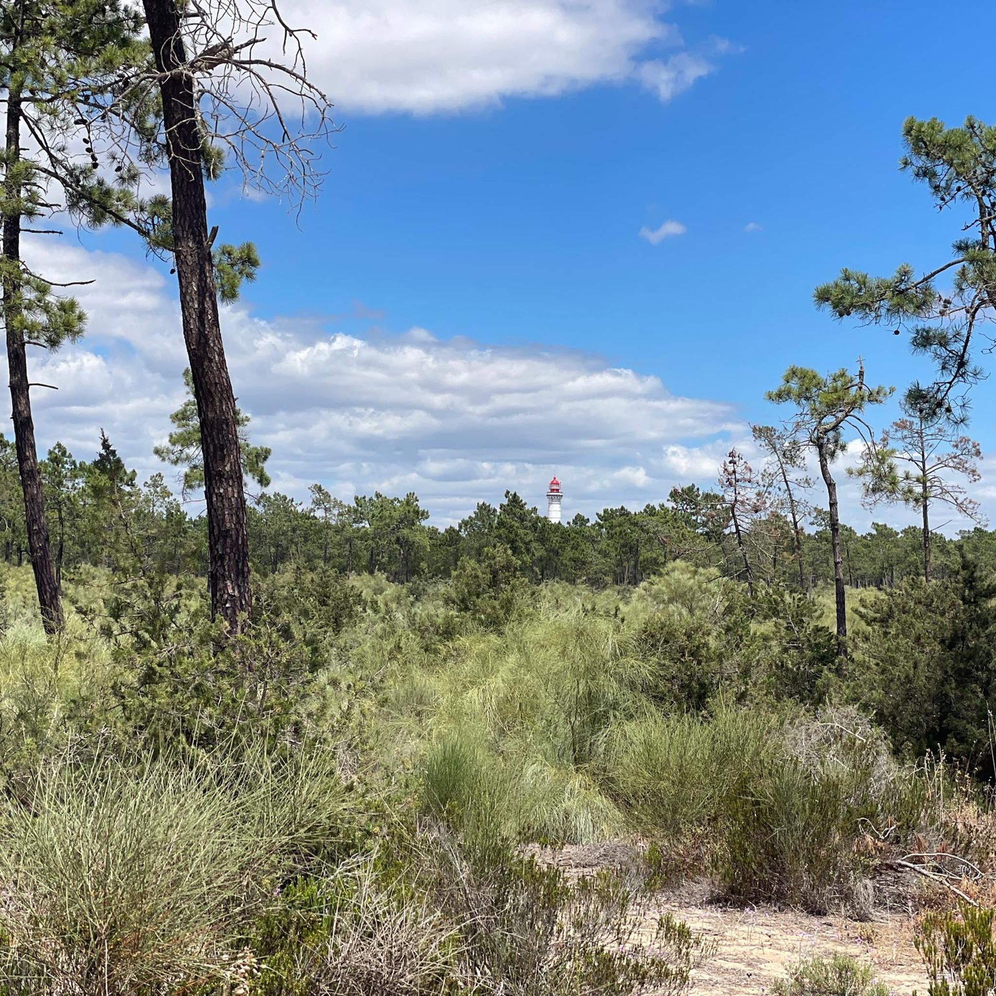
Running Trails in Mata Nacional Das Dunas Litorais De Vila Real De Santo António
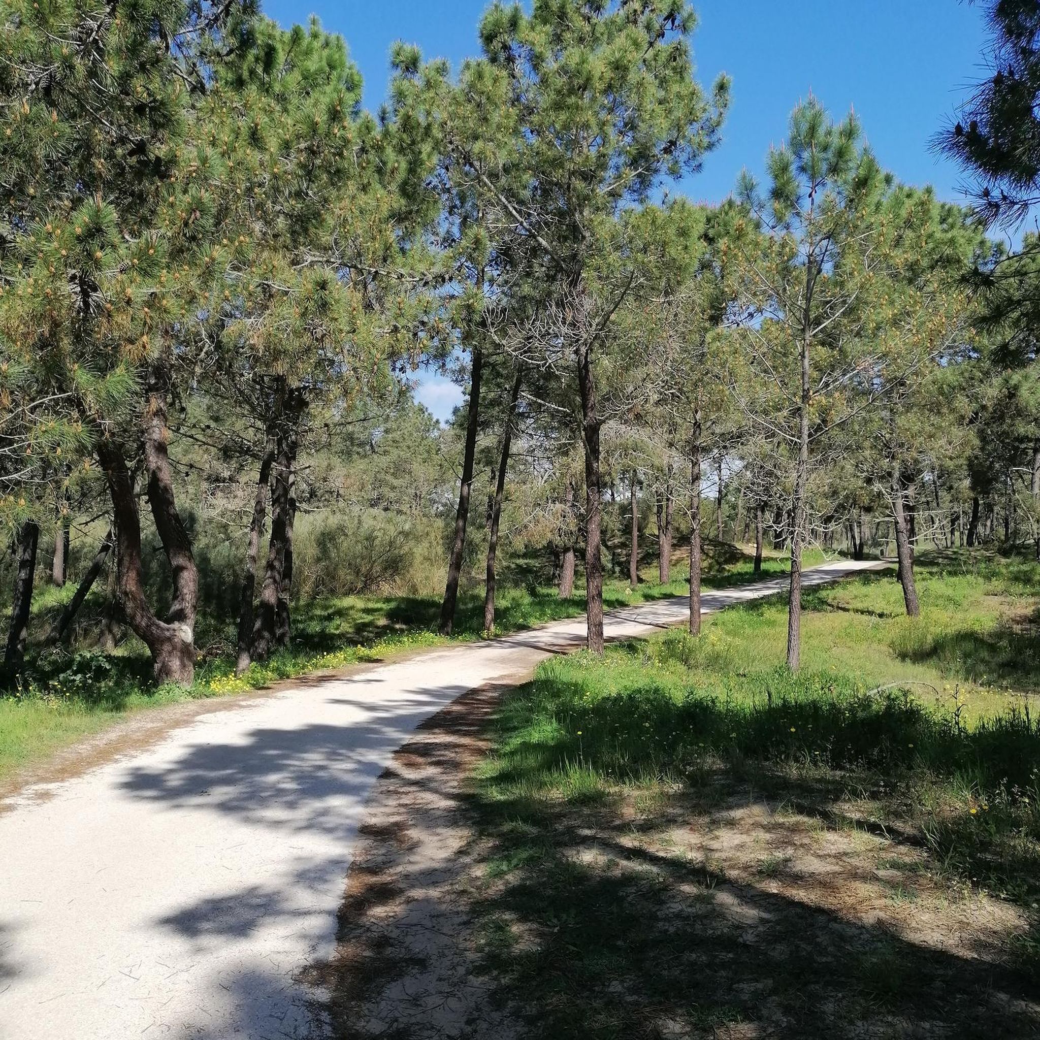
Hiking in Mata Nacional Das Dunas Litorais De Vila Real De Santo António
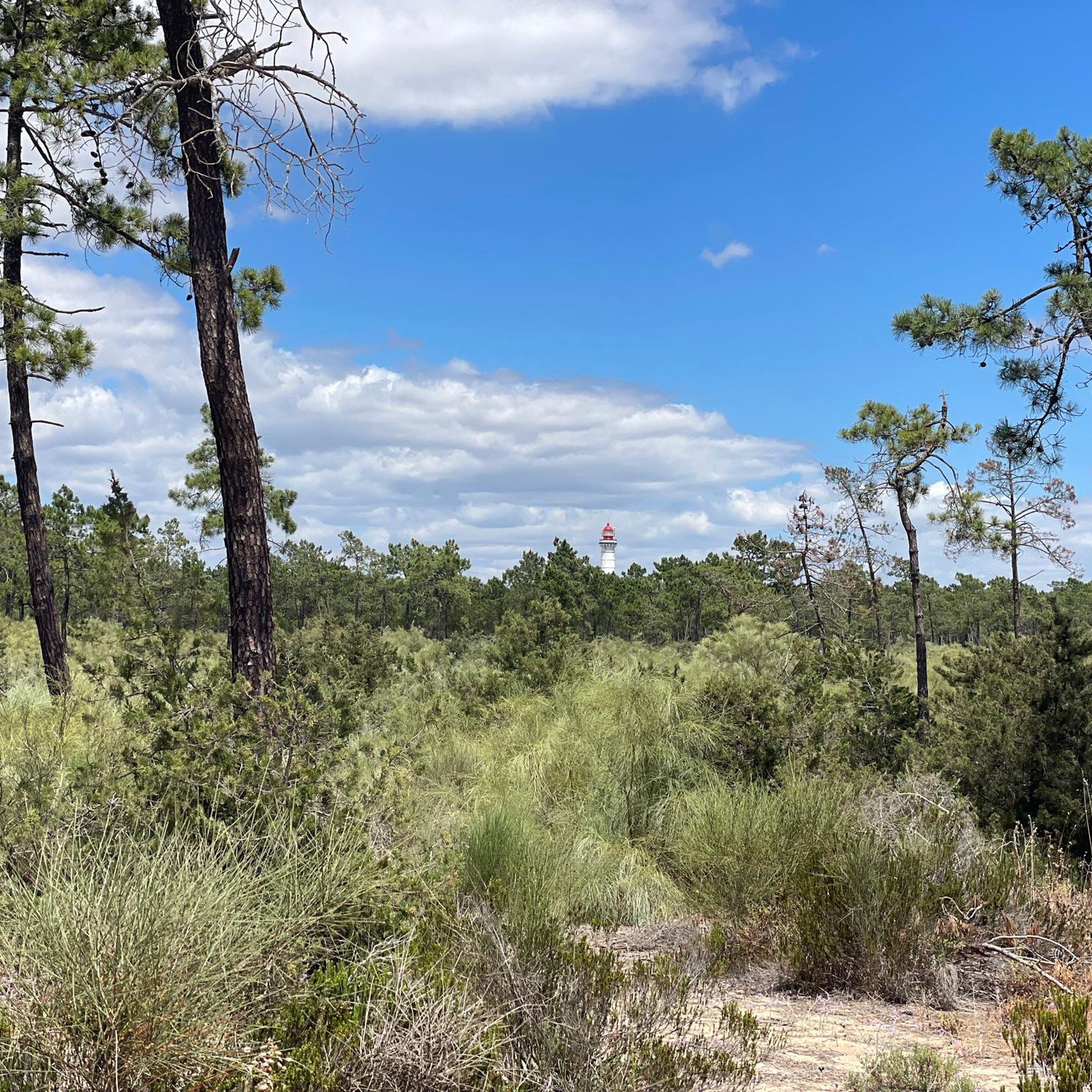
Cycling in Mata Nacional Das Dunas Litorais De Vila Real De Santo António
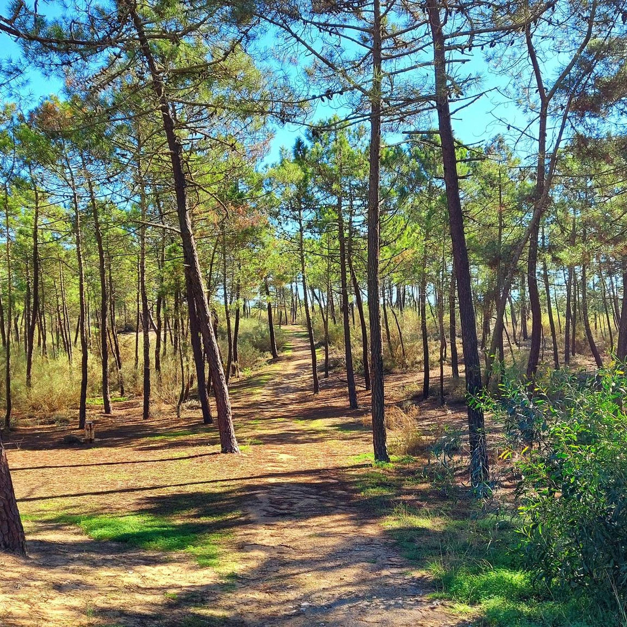
MTB Trails in Mata Nacional Das Dunas Litorais De Vila Real De Santo António

Gravel biking in Mata Nacional Das Dunas Litorais De Vila Real De Santo António
Tips from the Community

Vila Real de Santo António is located on the Gulf of Cádiz, which is part of the Atlantic Ocean, and on the right bank of the Guadiana River, whose lower reaches form the border between Portugal and Spain. The town offers several attractions, charming restaurants, bars, and cafés! A ferry ⛴️ provides convenient hourly service to the Spanish town of Ayamonte.
3
0
Vila Real de Santo António is a municipality and town in the Faro District of Portugal. It lies on the Gulf of Cádiz, which is part of the Atlantic Ocean, and on the right bank of the Guadiana River, whose lower reaches form the border between Portugal and Spain. Ayamonte, in Spain, lies on the opposite bank of the Guadiana River.
4
0

Small bridge 🌉 without barriers. A good option to avoid Tavira.
14
0
Noble house dating back to the 17th century and belonging to the Falcão family.
11
0
Saltworks where salt is extracted using traditional methods. The saltworks are located in the Sapal Natural Park.
12
0
The cycle path is very well designed, it is illuminated during the night 🌃 and has spectacular scenery.
12
0
Statue overlooking the landscapes of Sapal Natural Park. There's a good cycle path right next to it.
12
0
The cycle path is very well designed, is illuminated at night 🌃 and has spectacular scenery.
8
0
Frequently Asked Questions
What kind of terrain can I expect on road cycling routes in Mata Nacional Das Dunas Litorais?
The region is characterized by predominantly flat terrain, making it ideal for road cycling. You'll primarily cycle through serene pine forests and along coastal dune systems. The Pine Forest Trails in Ria Formosa–Castro Marim offer shaded paths and a refreshing environment.
How many road cycling routes are available in Mata Nacional Das Dunas Litorais De Vila Real De Santo António?
There are over 140 road cycling routes available in Mata Nacional Das Dunas Litorais De Vila Real De Santo António, offering a wide range of options for different skill levels and preferences.
Are there road cycling routes suitable for beginners or families in this region?
Yes, the predominantly flat terrain makes many routes suitable for beginners and families. For an easy ride, consider the Castro Marim Castle – Statue of the Medieval Knight loop from Monte Gordo, which is about 33 km long and takes around 1 hour 23 minutes to complete.
What are some popular loop road cycling routes in the area?
Many cyclists enjoy loop routes that showcase the region's diverse scenery. A popular moderate option is the Bridge over the Sequa River – Winding Road Along the River loop from Monte Gordo, covering about 60 km. For a shorter, easy loop, try the Statue of the Iron Man – Castro Marim Salt Pans loop from Monte Gordo, which is around 43 km.
What can I see along the road cycling routes in Mata Nacional Das Dunas Litorais?
Beyond the beautiful pine forests and coastal dunes, you can explore various points of interest. The Pine Forest Trail Between Monte Gordo and Vila Real de Santo António offers scenic views, and you might spot unique features like the Pigeon Lofts in Wooden Cabins. The area is also known for its rich biodiversity, including chameleons and various bird species, especially around the lagoon.
Are there any challenging road cycling routes for experienced riders?
Yes, for experienced riders seeking a challenge, the region offers longer and more demanding routes. The From Vila Real de Santo António to Tavira — circular route is a difficult 161 km trail that takes nearly 8 hours to complete, offering extensive views and a significant elevation gain.
What is the best time of year for road cycling in Mata Nacional Das Dunas Litorais?
The region is suitable for road cycling year-round. The pine forests provide shade, making it pleasant even on warmer days. In winter, the mild Algarve climate allows for comfortable cycling, and you might even spot rare bird species around the lagoon.
How do other road cyclists rate the routes in Mata Nacional Das Dunas Litorais De Vila Real De Santo António?
The routes in Mata Nacional Das Dunas Litorais De Vila Real De Santo António are highly rated by the komoot community, with an average score of 4.4 stars from over 70 reviews. Cyclists often praise the serene pine forests, well-maintained trails, and the unique coastal connections.
Are there any routes that connect to nearby towns or the coast?
Absolutely. The area's trails seamlessly integrate with the coastline and connect to nearby towns. Many routes offer direct access to the beaches of Vila Real de Santo António and Monte Gordo. The region also coincides with the EuroVelo 1 route, providing extensive coastal cycling opportunities.
Is there public transport access to the road cycling routes?
The Mata Nacional Das Dunas Litorais is well-connected, particularly to towns like Vila Real de Santo António and Monte Gordo, which often have public transport options. These towns serve as excellent starting points for many routes, including those that traverse the national forest.
Are there shaded paths available for cycling?
Yes, a significant portion of the road cycling experience in this region involves riding through the extensive pine forests. These forests, dominated by maritime and stone pines, offer refreshing and unique environments with plenty of shaded paths, such as the Talhão Path.
Can I find cafes or viewpoints along the road cycling routes?
While specific cafes directly on the trails within the national forest might be limited, the routes often connect to nearby towns like Monte Gordo and Vila Real de Santo António, where you'll find various amenities, including cafes. Many routes also offer scenic viewpoints, particularly those with coastal connections or overlooking the salt pans, such as the Castro Marim Salt Pans – Statue of the Iron Man loop from Monte Gordo.
Most popular routes in Mata Nacional Das Dunas Litorais De Vila Real De Santo António
Most popular attractions in Mata Nacional Das Dunas Litorais De Vila Real De Santo António

Get inspired with the komoot mobile app


Explore more
Browse the best Road cycling routes in other regions.
