The best road cycling routes in Alum Hollow Land Trust
5.0
(1)
24
riders
8
rides
Road cycling routes in Alum Hollow Land Trust primarily utilize nearby greenways, offering paved, traffic-free paths. The broader region features wooded terrain and gentle hills, with routes often following creeks and rivers. While the immediate Alum Hollow Land Trust area is known for hiking trails, the road cycling options are found on dedicated greenways. These routes provide access to the natural landscape of the area, characterized by waterways and surrounding woodlands.
Best road cycling routes in Alum Hollow Land Trust
…Last updated: July 12, 2026
5
riders
48.8km
02:37
210m
210m
Moderate road ride. Good fitness required. Some segments of this route may be unpaved and difficult to ride.
5
riders
32.4km
01:59
480m
480m
Moderate road ride. Good fitness required. Mostly well-paved surfaces and easy to ride.

Sign up for free
7
riders
30.0km
01:25
130m
130m
Moderate road ride. Great for any fitness level. Some segments of this route may be unpaved and difficult to ride.
4
riders
37.0km
01:50
290m
290m
Easy road ride. Great for any fitness level. Mostly well-paved surfaces and easy to ride.
5
riders
64.0km
03:47
360m
360m
Moderate road ride. Good fitness required. Mostly well-paved surfaces and easy to ride.
Get access to more routes and recommendations from other explorers.
Sign up for free
Already have an account?
Our route recommendations are based on thousands of hikes, rides, and runs completed by other people on komoot.
Start today with a free account
Your next adventure awaits.
Login or Signup
Popular around Alum Hollow Land Trust


Tips from the Community

Aldridge Creek Greenway is a paved multi-use trail in southern Huntsville. The trail follows the creek of the same name and you will see plenty of wildlife like rabbits, turtles and different birds.
0
0

The Flint River Greenway is a beautiful fully paved greenway near Huntsville, Alabama. It is 5 miles long and uses several bridges to cross the Flint River. The trail passes through the Hays Nature Preserve, which is home to many animals including rabbits, deer and birds.
1
0
Aldridge Creek Greenway is a walking and biking path that is completely traffic free. It is a great path for a family bike ride.
0
0
Frequently Asked Questions
How many road cycling routes are available in the Alum Hollow Land Trust area?
There are 8 road cycling routes available in the broader Alum Hollow Land Trust area, primarily utilizing nearby greenways. These routes offer a range of experiences for road cyclists.
Can I road cycle directly within the Alum Hollow Land Trust trails?
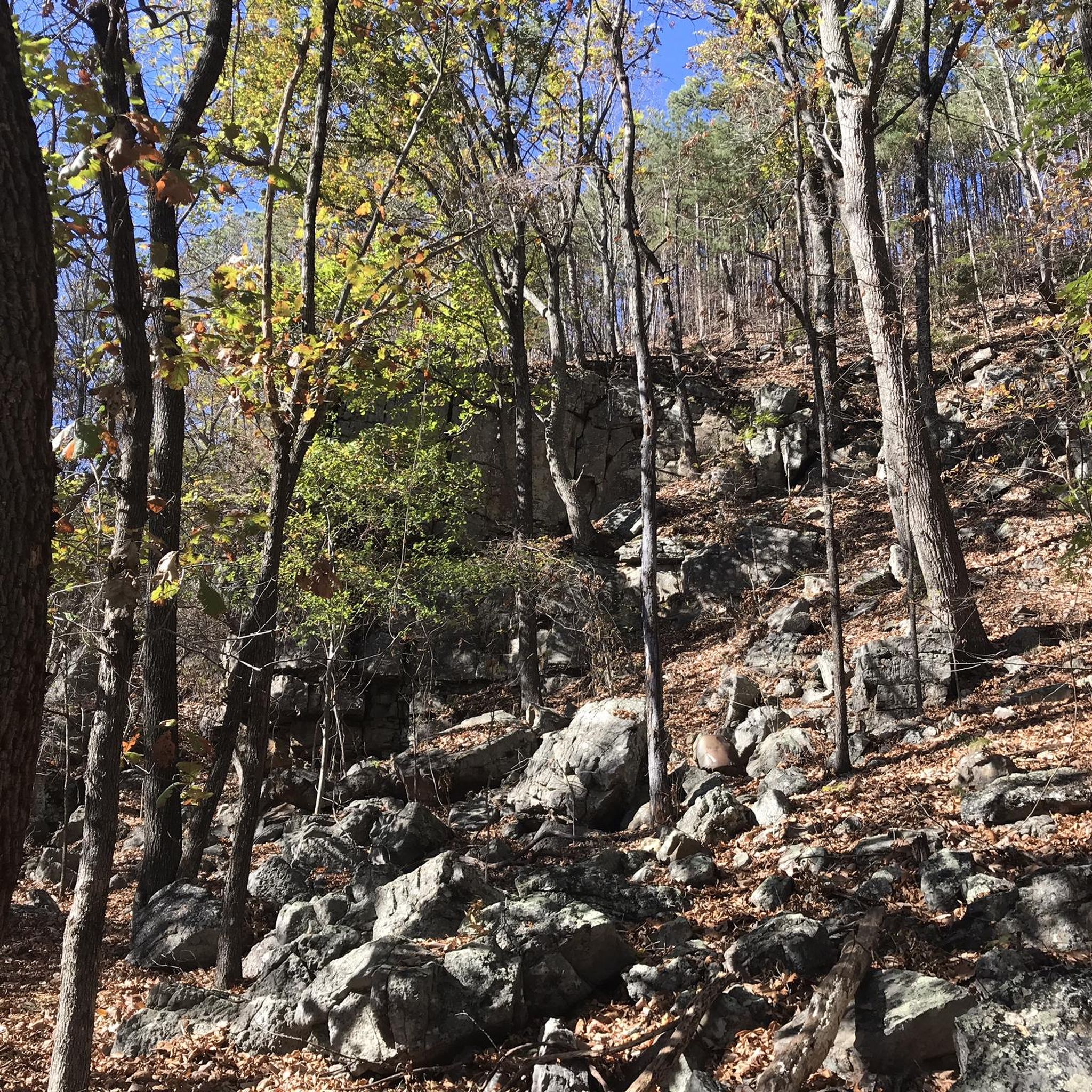
No, the trails directly within the Alum Hollow Land Trust, such as the Alum Hollow Trail, are primarily designed for hiking, trail running, and mountain biking. They feature singletrack paths, rocky terrain, and steep descents, making them unsuitable for road bikes. Road cycling in this region is best enjoyed on dedicated greenways nearby.
What is the typical terrain like for road cycling in this region?
Road cycling routes in the Alum Hollow Land Trust area primarily follow paved, traffic-free greenways. These paths often run alongside creeks and rivers, winding through wooded terrain with gentle hills. While the immediate Alum Hollow area is rugged, the road cycling options are smooth and accessible.
Are there routes suitable for beginners or families?
Yes, there are several routes suitable for beginners and families. Out of the 8 available routes, 3 are rated as easy. For example, the Aldridge Creek Greenway loop from Challenger Elementary and Middle Schools is an easy 8.7-mile (14.0 km) path, perfect for a relaxed ride.
Are there any circular road cycling routes?
Yes, many of the road cycling routes in the area are designed as loops. For instance, the popular Aldridge Creek Greenway – Aldridge Creek Greenway loop from Whitesburg is a 20.8-mile (33.5 km) circular route, and the Flint River Greenway loop from Blevins Gap Preserve also offers a scenic loop experience.
What kind of landmarks or points of interest can I expect to see on these routes?
While the road cycling routes don't go directly through the rugged Alum Hollow Land Trust features like Alum Cave or waterfalls, they often follow scenic greenways alongside waterways like Aldridge Creek and the Flint River. These paths offer views of the surrounding woodlands and natural landscapes. For historical and natural features like Alum Cave, you would need to explore the hiking trails within the preserve itself.
What are the difficulty levels of road cycling routes in the Alum Hollow Land Trust area?
The road cycling routes in this area range from easy to moderate. There are 3 easy routes, ideal for casual rides, and 5 moderate routes, which may include longer distances or more varied terrain and elevation gain, such as the Mathis Mountain – Little Farley Mountain loop from Ken Johnston Park.
What is the best time of year for road cycling in the Alum Hollow Land Trust area?
The region generally offers pleasant cycling conditions for much of the year. Spring and fall provide comfortable temperatures and beautiful scenery with changing foliage. Summer can be warm, so early morning or late afternoon rides are often preferred. Winter cycling is possible, with the added benefit of clearer mountain views through the leafless trees.
Where can I find parking for these road cycling routes?
Parking for these road cycling routes is typically available at access points along the greenways. For example, routes like the Aldridge Creek Greenway loop from Whitesburg often have designated parking areas near their starting points. It's advisable to check the specific route details on komoot for parking information related to your chosen tour.
Are there cafes or places to stop for refreshments near the road cycling routes?
The greenways often pass through or near residential areas and local communities where you can find cafes, restaurants, or convenience stores for refreshments. While not directly adjacent to every section of the greenway, options are usually accessible within a short detour from the main paths.
What do other road cyclists say about the routes in the Alum Hollow Land Trust area?
The road cycling routes in the Alum Hollow Land Trust area are highly rated by the komoot community, with an average score of 5.0 stars. Cyclists often praise the well-maintained paved greenways, the peaceful natural surroundings, and the accessibility of these traffic-free paths.
Are there other road cycling options similar to those found near Alum Hollow Land Trust?
Yes, if you enjoy the greenway-style cycling near Alum Hollow Land Trust, you'll find similar experiences on other dedicated paved paths in the greater Huntsville area. The Aldridge Creek Greenway and the Flint River Greenway are prime examples, offering traffic-free and scenic road cycling opportunities.
Most popular routes in Alum Hollow Land Trust

Get inspired with the komoot mobile app


Explore more
Browse the best Road cycling routes in other regions.
