The 7 Most Amazing Peaks around Büttelborn
Best mountain peaks around Büttelborn are characterized by modest elevations within the northern Hessisches Ried, part of the Rhine rift. The municipality itself is situated at approximately 91 meters above sea level, featuring a generally flat landscape. While traditional mountain peaks are not found directly in Büttelborn, the broader Groß-Gerau district includes named elevations such as Oberwaldberg, reaching 145 meters. These locations offer views and natural surroundings rather than challenging alpine terrain.
Best mountain peaks around Büttelborn
- The most popular…
Last updated: August 17, 2026
Ludwig Tower on Ludwigshöhe
Highlight • Monument
Translated by Google •
Tip by

View from the Prinzenberg
Highlight • Viewpoint
There are also beautiful views.
Translated by Google •
Tip by

Sign up now to discover places like this
Get recommendations on the best single tracks, peaks, & plenty of other exciting outdoor places.
Sign up for free
Herrgottberg Forest Playground
Highlight • Rest Area
Translated by Google •
Tip by

View of the Frankfurt skyline from Oberwaldberg
Highlight • Viewpoint
A wonderful view of the Taunus, Frankfurt's skyline or the Odenwald reward you here
Translated by Google •
Tip by
View from Oberwaldberg, Mörfelden
Highlight • Viewpoint
Translated by Google •
Tip by

Start today with a free account
Your next adventure awaits.
Login or Signup
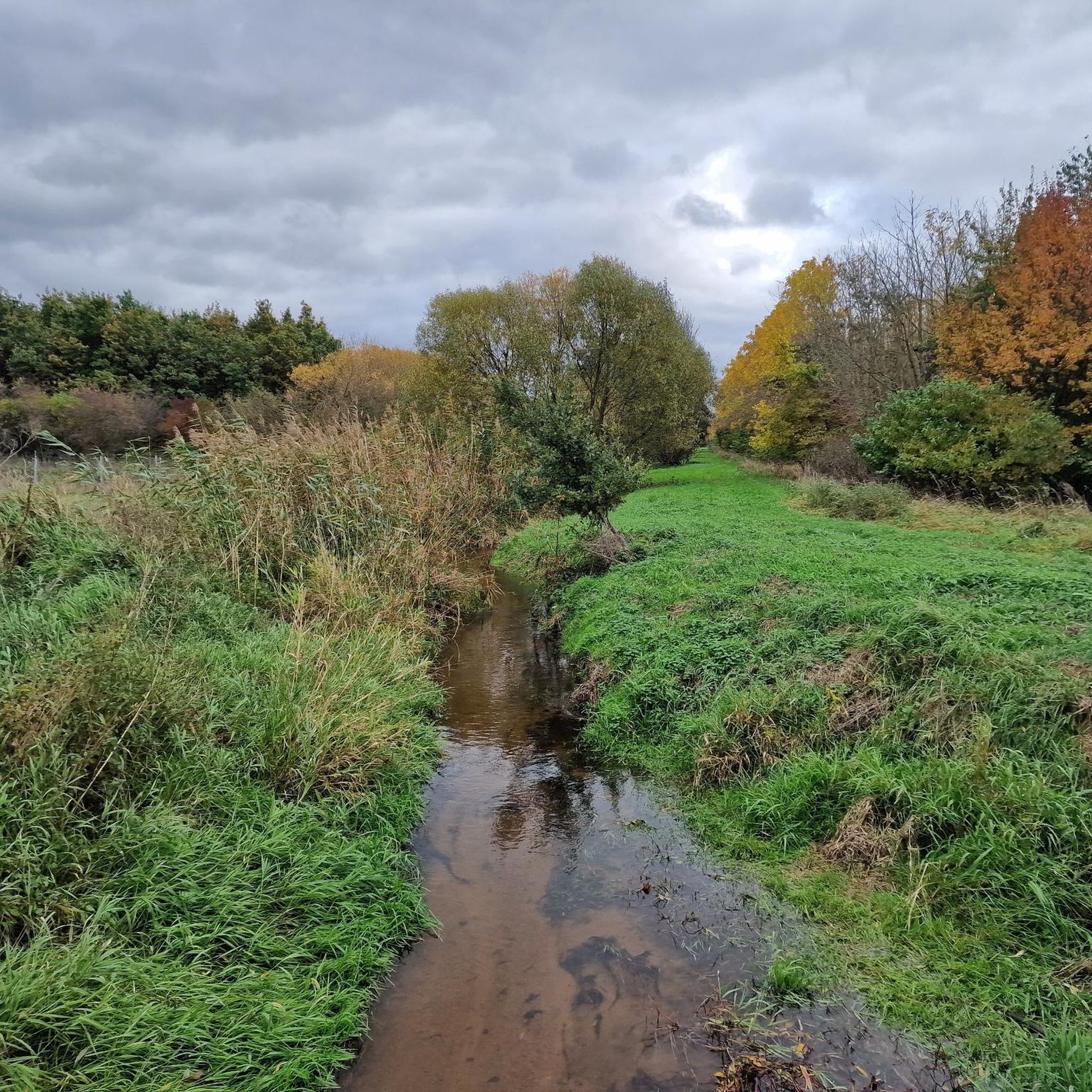
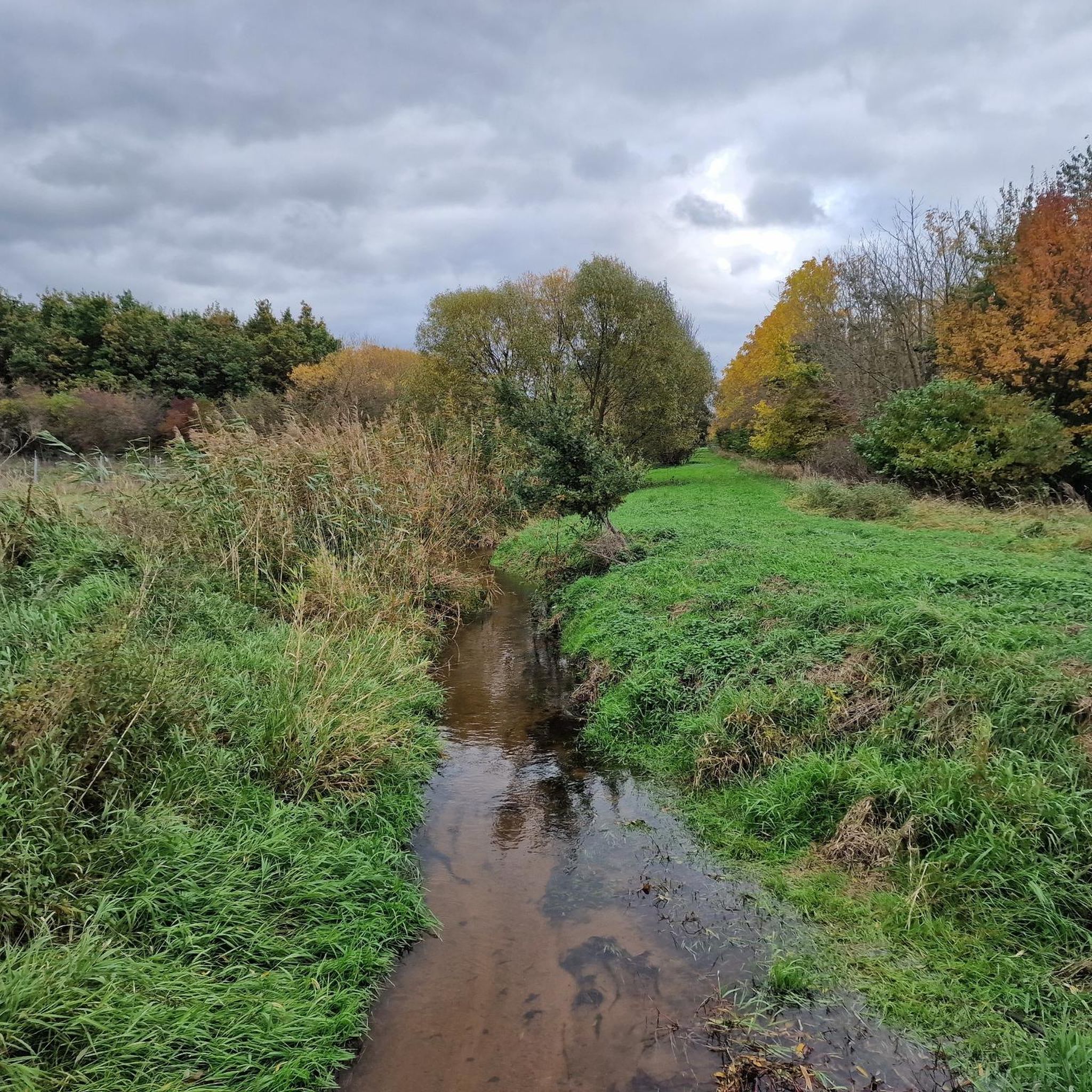
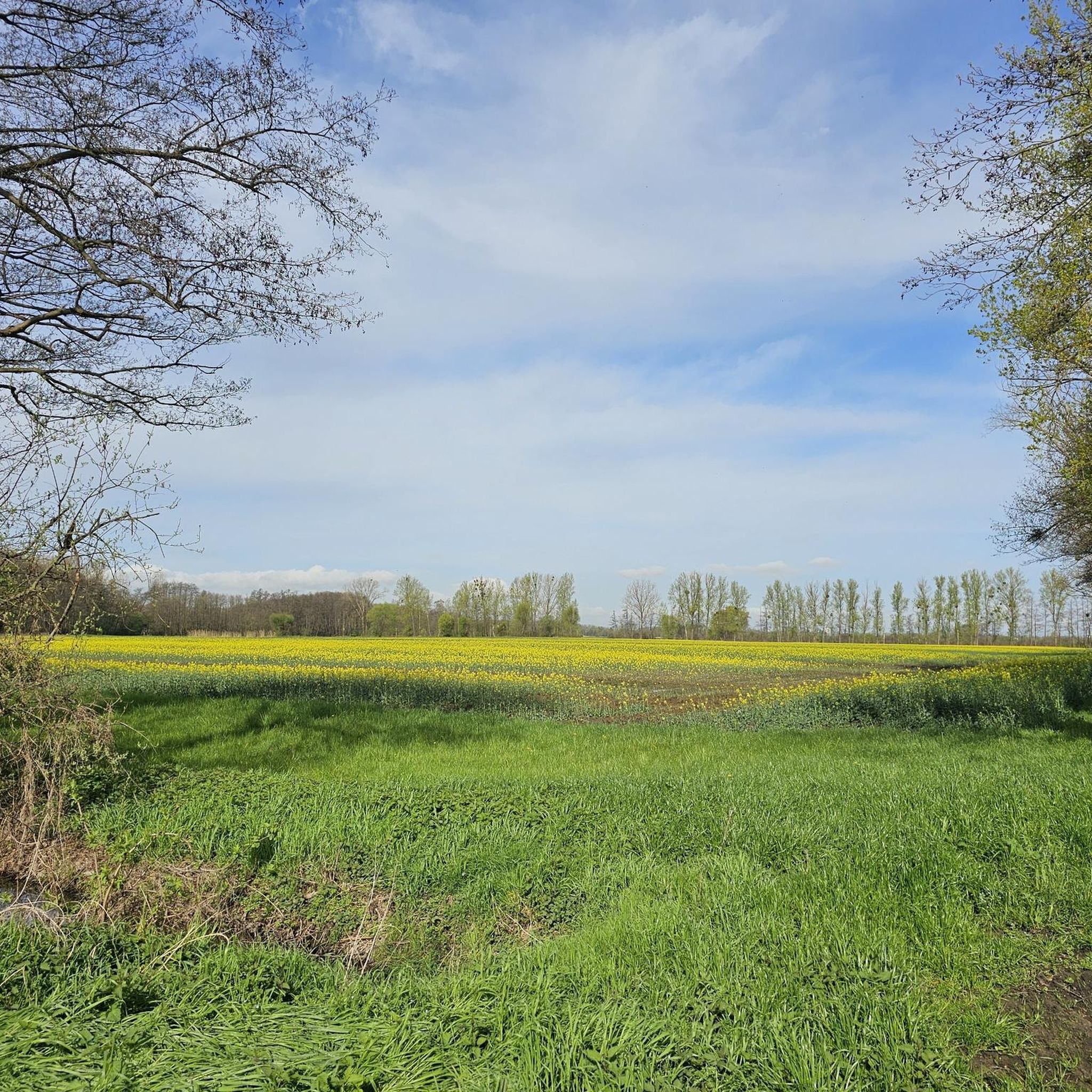
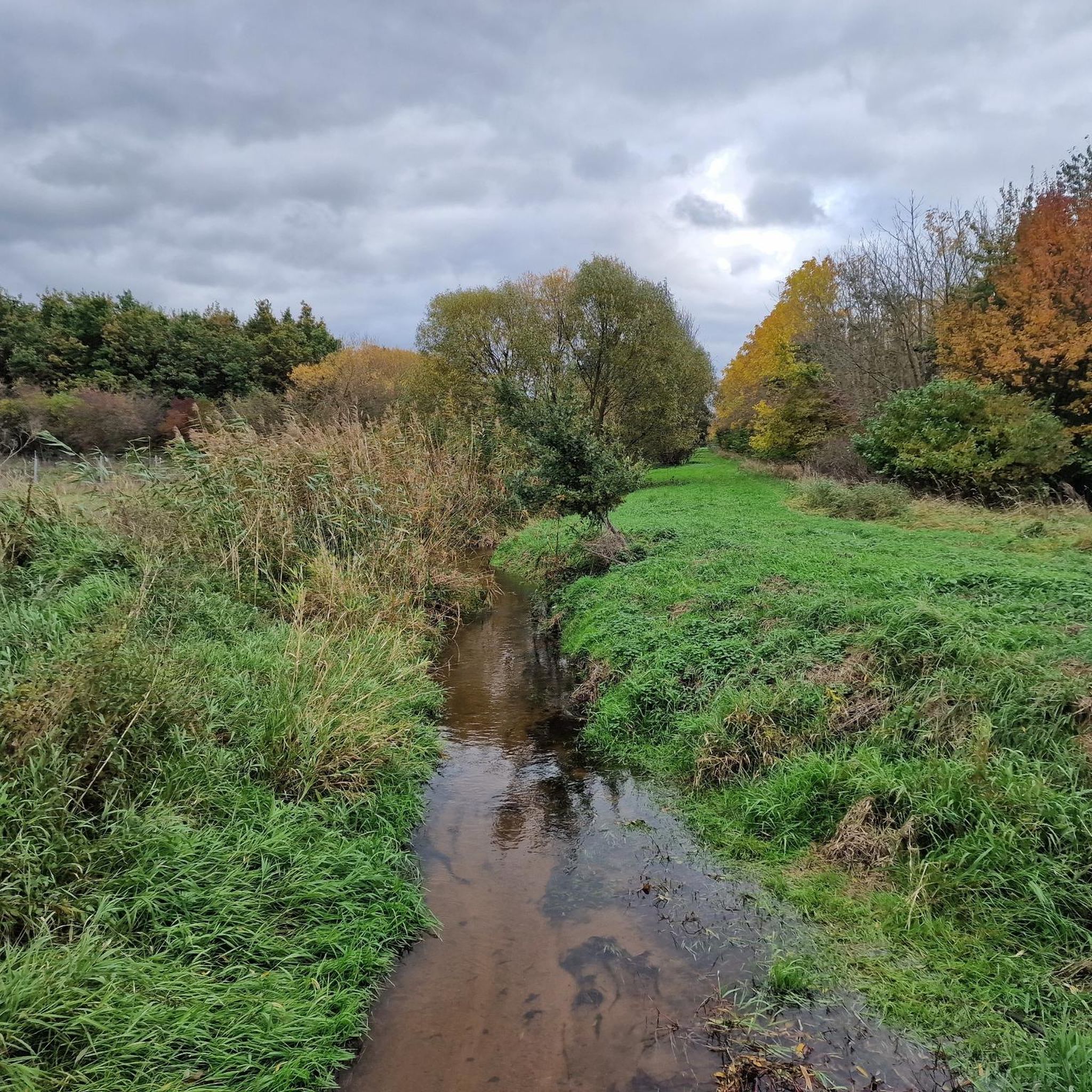
Tips from the Community

The history of the Oberwaldberg is (unfortunately) a somewhat disreputable one. Originally, gravel was mined here, from 1972 it was converted into a landfill for the district and grew from around 1985 to the present-day "mountain". The landfill was closed and in 2006 this visitor platform was built, from which you have a wonderful view over the Rhine-Main area. The area is still largely inaccessible today. However, a path leads up to the summit and over the mountain. https://de.wikipedia.org/wiki/Oberwaldberg
0
0

The summit of the Oberwaldberg offers an impressive panoramic view of the Rhine-Main region: from the Taunus mountains in the north, across the skyline of Frankfurt, to the Odenwald in the south. From the second vantage point, halfway up, there is a good view of the FFH area, the districts of Mörfelden-Walldorf and the airport. The mountain is covered with hawthorn and berry bushes. The prickly thistles and thistles that bloom in summer attract numerous insects. The mountain was created by filling a former gravel pit with material (excavated earth) from the construction of the Frankfurt subway and then using it as a waste disposal site. Mainly household waste, bulky waste, excavated earth and construction rubble were stored there. The landfill was closed in 1991. It was then covered with a surface cover and recultivated. The Oberwaldberg is connected to the regional park route and is partially open to the public for use. The landfill gas is captured and is no longer used to generate electricity (since 2024). The seepage water is also captured and cleaned. If regular monitoring of water and air shows that the biological processes taking place in the landfill have come to a standstill and there is no longer any danger of significant environmental pollution, the mountain can be released from aftercare. The technical facilities will be shut down and dismantled as far as possible. The entire mountain will then be made available to citizens for local recreation.
3
0

The unobstructed view from the “summit plateau” of the Oberwaldberg is fantastic.
2
0

The whole area is great for hiking and biking. There are also beautiful views.
19
0

A dream for kids and parents have fun too!
2
0

A popular meeting place for young and old
18
2

Highest point of the Oberwaldberg. The point can be reached on easily accessible paths. Wide distant view of the Taunus, the Odenwald and Frankfurt.
10
1

Ideal for the children to let off steam
3
0
Frequently Asked Questions
What kind of 'mountain peaks' can I expect to find around Büttelborn?
Büttelborn is located in the northern Hessisches Ried, a generally flat area. The 'mountain peaks' here are modest elevations, more accurately described as hills or viewpoints. For example, the highest point mentioned is Oberwaldberg at 145 meters. These spots offer scenic views and natural surroundings rather than challenging alpine terrain.
What are some popular viewpoints or elevated spots near Büttelborn?
One popular spot is the Ludwig Tower on Ludwigshöhe, a 27.5-meter high monument offering extensive views over Darmstadt and even Frankfurt on clear days. Another is the View from the Prinzenberg, which provides vistas of Eberstadt and the Palatinate mountains.
Are there any spots with views of the Frankfurt skyline near Büttelborn?
Yes, the View of the Frankfurt skyline from Oberwaldberg is a great option. This 140-meter high point offers wide vistas that include the Taunus, Odenwald, and the distant Frankfurt skyline.
Are there family-friendly elevated spots or viewpoints around Büttelborn?
Absolutely. The area around Ludwigshöhe and the Ludwigsturm is considered family-friendly, with facilities and a restaurant. Additionally, the Herrgottberg Forest Playground is a wonderful family-friendly spot, featuring a lovingly crafted Noah's Ark playground and also offering a viewpoint.
What kind of outdoor activities can I do near these elevated spots?
The region is well-suited for cycling and mountain biking. You can find numerous routes, such as those detailed in the MTB Trails around Büttelborn guide or the Road Cycling Routes around Büttelborn guide. These guides offer routes of varying difficulties, from easy to moderate.
Are there hiking trails near Büttelborn's elevated areas?
While specific hiking guides for 'mountain peaks' aren't listed, the modest elevations like Prinzenberg and Oberwaldberg are accessible via paths suitable for walking and hiking. The area around Prinzenberg is particularly noted for being great for hiking and biking, with benches and a small shelter for resting.
What do visitors enjoy most about the elevated spots around Büttelborn?
Visitors frequently appreciate the extensive views offered from locations like the Ludwig Tower, which can stretch as far as Frankfurt. The natural surroundings, opportunities for hiking and biking, and the peaceful atmosphere are also highly valued. Many enjoy the chance to relax at viewpoints with benches and shelters.
Can I find historical sites among the elevated points near Büttelborn?
Yes, the Ludwig Tower on Ludwigshöhe is a significant historical site, built in 1882. It's a man-made monument that serves as a prominent landmark and viewpoint in the region.
What is the highest point in the immediate vicinity of Büttelborn?
While Büttelborn itself is quite flat, the highest named elevation in the broader Groß-Gerau district is Oberwaldberg, reaching 145 meters (476 feet). This point offers a view of the Frankfurt skyline.
Are there any places to eat or rest near these viewpoints?
Yes, near Ludwigshöhe and the Ludwigsturm, you can find a restaurant. The View from the Prinzenberg also has benches and a small shelter, inviting visitors to rest and enjoy the scenery.
What is the best time to visit the elevated spots around Büttelborn for clear views?
For the best distant views, such as the Frankfurt skyline from Oberwaldberg or the Palatinate mountains from Prinzenberg, clear weather days are ideal. Spring and autumn often provide crisp air and good visibility, while summer offers longer daylight hours for exploration.
Most popular routes around Büttelborn
Most popular attractions around Büttelborn

Get inspired with the komoot mobile app


Explore more
See even more amazing summits around Büttelborn with these guides:
