The best walks and hikes in Parku Natyror I Zagorisë
4.4
(296)
1,350
hikers
20
hikes
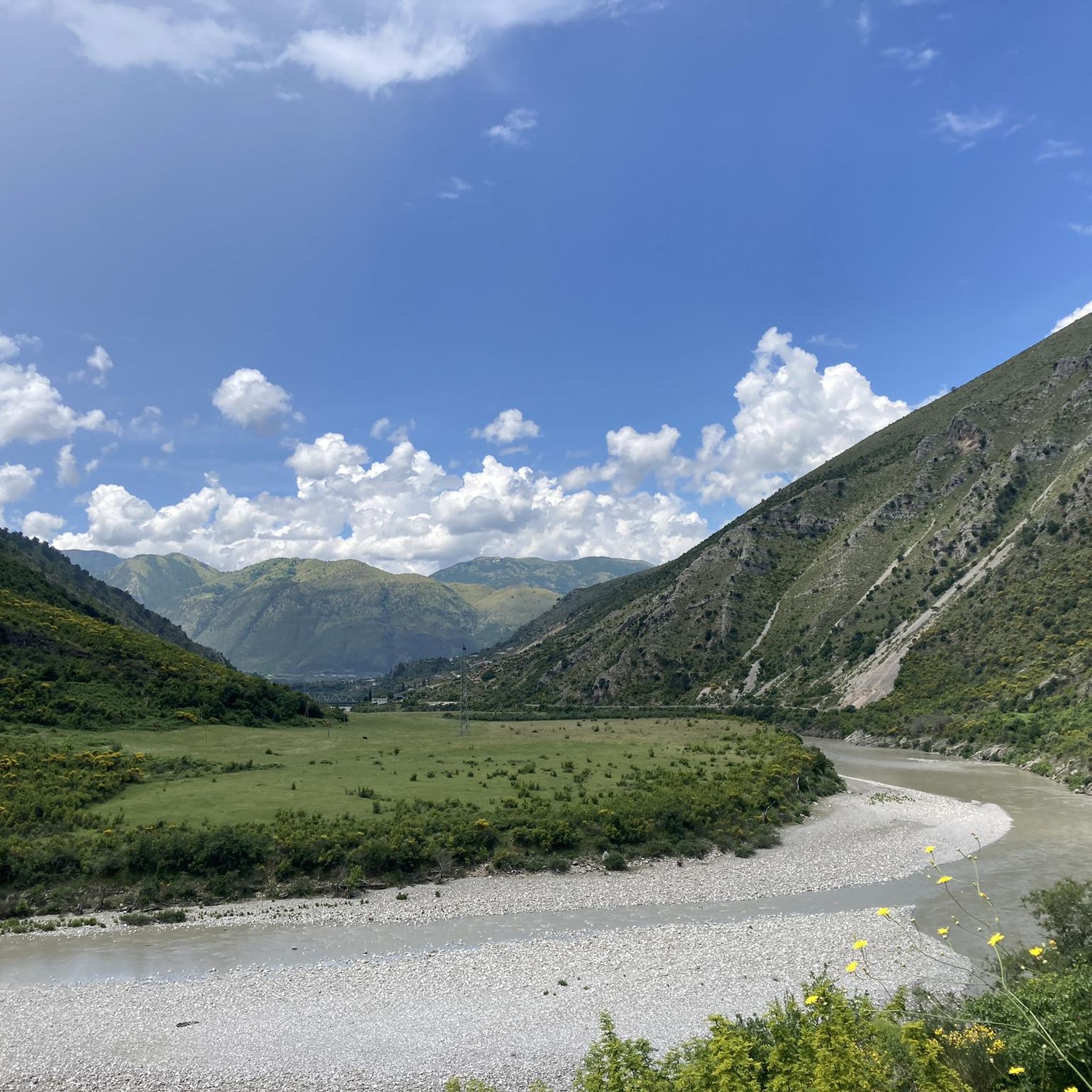
Hiking in Parku Natyror I Zagorisë offers diverse landscapes across approximately 25,000 hectares in southern Albania. The park is characterized by rugged mountainous terrain, including the Shëndëlli, Lunzhëri, and Nemerçkë ranges, and features significant Paleogene and Cretaceous limestone formations. The 27-kilometer-long Zagoria Valley, with the Zagoria River flowing through it, is a central feature, alongside the pristine Vjosë River. The landscape also includes open woodlands, terraced fields, and vast meadows, with elevations reaching up to Maja e Lalucit at 7,070…
Last updated: July 10, 2026
4.6
(31)
126
hikers
16.0km
05:06
640m
640m
Hard hike. Very good fitness required. Easily-accessible paths. Suitable for all skill levels.
4.5
(10)
19
hikers
5.00km
01:31
170m
170m
Easy hike. Great for any fitness level. Easily-accessible paths. Suitable for all skill levels.

Sign up for free
2
hikers
8.33km
02:34
290m
290m
Moderate hike. Good fitness required. Easily-accessible paths. Suitable for all skill levels.
2
hikers
21.6km
07:38
1,170m
1,170m
Hard hike. Very good fitness required. Easily-accessible paths. Suitable for all skill levels.
4.6
(18)
54
hikers
4.22km
01:23
180m
180m
Easy hike. Great for any fitness level. Easily-accessible paths. Suitable for all skill levels.
Get access to more routes and recommendations from other explorers.
Sign up for free
Already have an account?
Our route recommendations are based on thousands of hikes, rides, and runs completed by other people on komoot.
Start today with a free account
Your next adventure awaits.
Login or Signup
Popular around Parku Natyror I Zagorisë
Tips from the Community

Beautiful but in places very adventurous hike. Very narrow "path" led very close to the rock face
0
0

We travelled there in June and it was already very hot. Since the climb to Limar offers little shade, we took advantage of the shade under the bridge and the wonderfully refreshing water for a long swim to avoid climbing in the midday heat. Highly recommended!
0
0

Ottoman Bridge, just before reaching it you can swim
0
0

A beautifully situated and maintained church.
0
0

very well preserved church in Leusa magnificent paintings Village residents have the key
1
0

Well preserved frescoes in the church, but also in the vestibule (hajati). You get the key in a house above the church on the right hand side (dog!)
0
0
Frequently Asked Questions
How many hiking trails are available in Parku Natyror I Zagorisë?
Parku Natyror I Zagorisë offers a diverse network of over 20 hiking routes. These range from easy strolls to challenging multi-day treks, catering to various skill levels. You'll find options like the easy Hiking loop from Peshtan, which is about 5 km long.
What is the best time of year to go hiking in Parku Natyror I Zagorisë?
The most favorable times for hiking in Parku Natyror I Zagorisë are springtime (late May-June) and autumn (September-October). During these periods, temperatures are milder, making for more comfortable and enjoyable treks through the diverse landscapes.
Are there any family-friendly hiking options in Parku Natyror I Zagorisë?
Yes, the park offers several routes suitable for families. For instance, the Leus Village – Church of Saint Mary of Leusa loop from Përmet is an easy 4.2 km trail that takes about 1.5 hours, perfect for a leisurely family outing. Many traditional villages also offer accessible paths.
What kind of natural features can I expect to see while hiking in the park?
Hikers in Parku Natyror I Zagorisë will encounter a rich variety of natural features. These include the 27-kilometer-long Zagoria Valley with its river, the pristine Vjosa River, and significant mountain ranges like Shëndëlli and Nemerçkë. You can also explore open woodlands, terraced fields, and vast meadows. Don't miss highlights like Along the Vjosa River.
Are there any waterfalls in Parku Natyror I Zagorisë?
Yes, the park is home to beautiful waterfalls. The 20-meter-high Doshnica Waterfall is a notable natural attraction, and the Selckë Waterfall offers a series of cascades. You can also find Vjosa Waterfalls near Këlcyrë, providing scenic spots for exploration and photography.
Can I find circular hiking routes in Parku Natyror I Zagorisë?
Many of the trails in Parku Natyror I Zagorisë are designed as circular routes, allowing you to start and end in the same location. An example is the moderate Old Church of Zagori – Old Stone Church of Zagori loop from Sheper, which is about 8.3 km long and takes around 2.5 hours.
What are some notable landmarks or historical sites to visit along the trails?
The park is rich in cultural heritage. You can discover well-preserved Ottoman-era stone bridges, such as the magnificent Ottoman Bridge in Zagori Nature Park. Hiking routes often connect charming traditional villages like Sheper, Nivan, and Hoshteve, offering glimpses into local life and architecture.
What do other hikers enjoy most about Parku Natyror I Zagorisë?
The area is highly rated by the komoot community, with an average score of 4.4 stars from over 260 reviews. Hikers often praise the diverse landscapes, the blend of adventure and cultural immersion, and the well-maintained trails that connect traditional villages and natural attractions.
Are there any challenging hikes for experienced trekkers?
Absolutely. For experienced trekkers, the park offers several difficult routes. The View of the Zagori Valley – Peshtan, Tepelenë loop from Peshtan is a challenging 16 km trail with significant elevation gain, offering expansive views. Another demanding option is the Bridge Over River in Albania loop from Këlcyrë, which spans over 21 km.
What are the highest points or best viewpoints in the park?
The highest point within the park is Maja e Lalucit, standing at 2,155 meters (7,070 ft), offering challenging ascents and panoramic views. The Dhembel Pass (1,450 meters) also provides unparalleled panoramic views across Greece and the city of Permet below, rewarding challenging hikes.
Can I visit traditional villages while hiking in Parku Natyror I Zagorisë?
Yes, many hiking trails in Parku Natyror I Zagorisë are designed to connect charming traditional villages such as Sheper, Nivan, Hoshteve, and Limar. These routes often follow ancient footpaths and offer opportunities to experience local culture, architecture, and even guesthouses.
Are there opportunities for relaxation after hiking?
After exploring the trails, hikers can find relaxation at the thermal pools of Benje, located in the nearby Langarica Canyon. These natural hot springs provide a soothing experience to rejuvenate tired muscles.
Most popular routes in Parku Natyror I Zagorisë
Most popular attractions in Parku Natyror I Zagorisë

Get inspired with the komoot mobile app


Explore more
Browse the best Hikes in other regions.
