The best walks and hikes in Manferrara
4.3
(28)
120
hikers
7
hikes
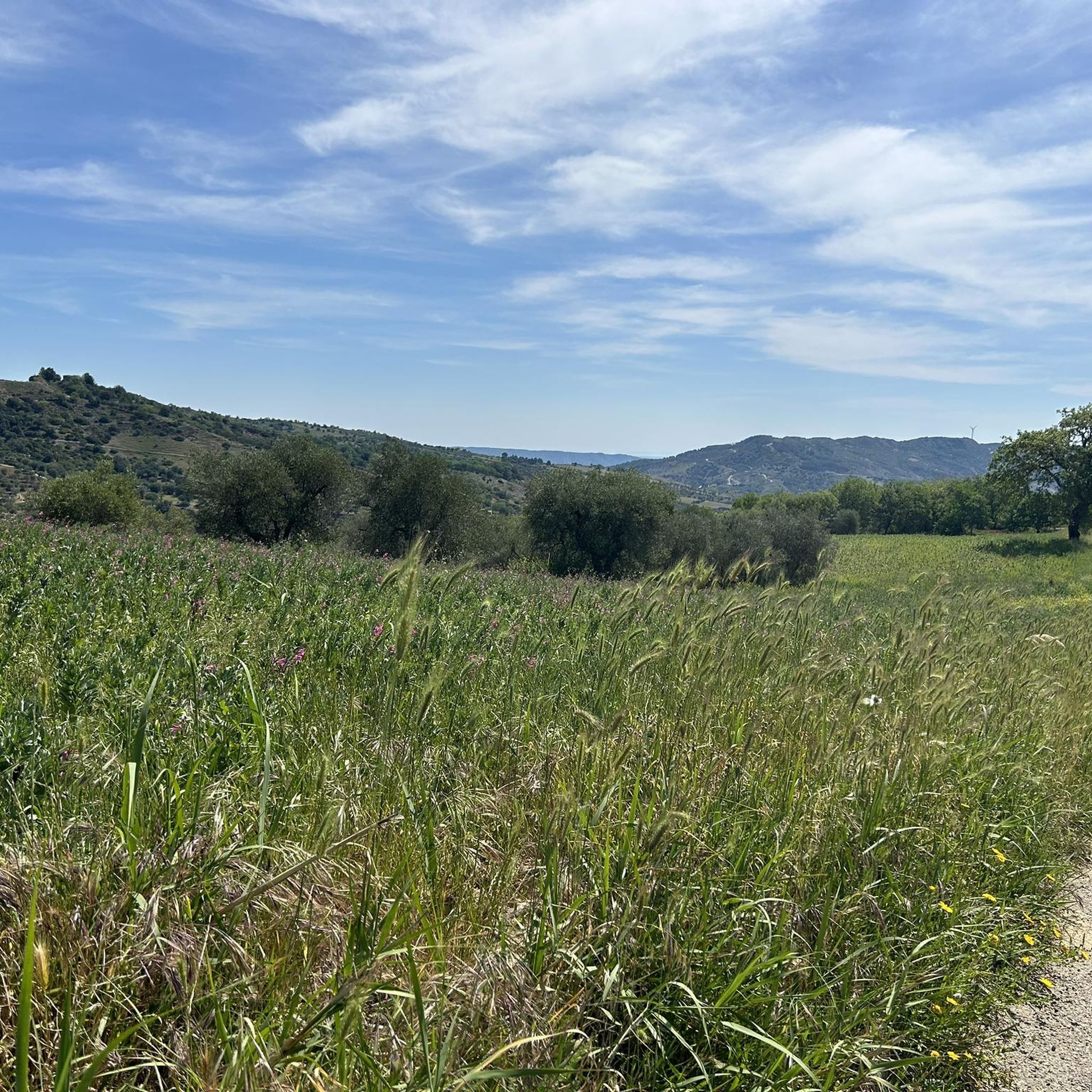
Hiking in Manferrara centers around the Bosco della Manferrara, an extensive forest near Pomarico spanning over 500 hectares. This region features a diverse arboreal landscape, including maple, oak, and Aleppo pine, complemented by a rich undergrowth. The terrain is characterized by accessible hills with a generally flat profile, suitable for various hiking abilities. The forest provides both structured paths and less-traveled dirt tracks.
Best hiking trails in Manferrara
- The most popular hiking route is Bosco di Ciclamini – Bosco Manferrara…
Last updated: June 25, 2026
5.0
(2)
9
hikers
29.3km
08:17
620m
620m
Hard hike. Very good fitness required. Easily-accessible paths. Suitable for all skill levels.
3.5
(2)
6
hikers
8.65km
02:20
110m
110m
Moderate hike. Good fitness required. Easily-accessible paths. Suitable for all skill levels.

Sign up for free
5.0
(1)
4
hikers
19.8km
05:45
500m
500m
Hard hike. Very good fitness required. Easily-accessible paths. Suitable for all skill levels.
7
hikers
15.8km
04:11
150m
150m
Moderate hike. Good fitness required. Mostly accessible paths. Sure-footedness required.
4.0
(5)
9
hikers
Moderate hike. Good fitness required. Easily-accessible paths. Suitable for all skill levels.
Get access to more routes and recommendations from other explorers.
Sign up for free
Already have an account?
Our route recommendations are based on thousands of hikes, rides, and runs completed by other people on komoot.
Start today with a free account
Your next adventure awaits.
Login or Signup
Popular around Manferrara
Tips from the Community

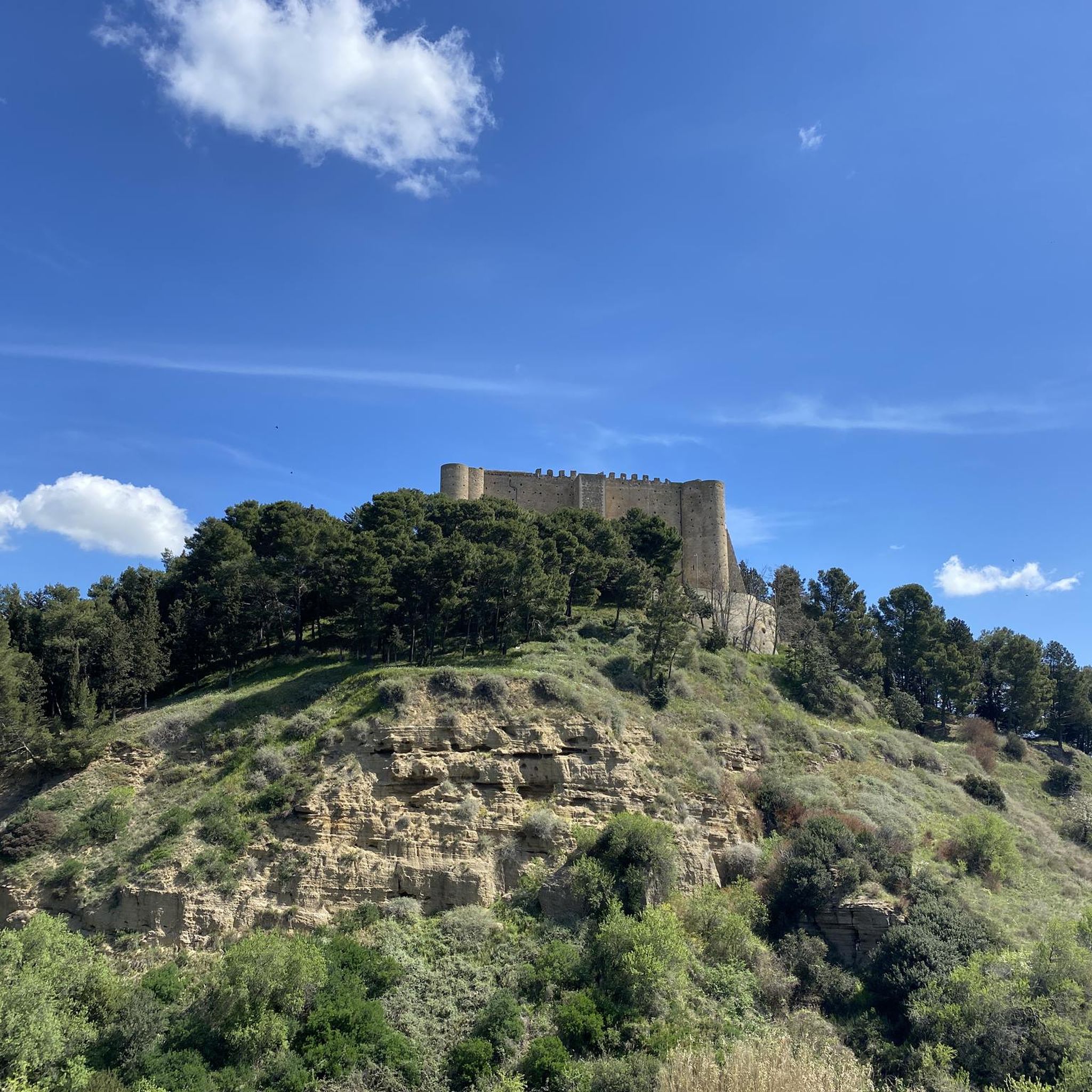
Fabulous Malconsiglio Castle, where the famous Conspiracy of the Barons took place.
0
0


The reservoir had a water level that was far too low in mid-May 2024. The dam was not accessible.
0
0

The Bradano flows into the lake from the northwest and leaves it in the southeast.
0
0

The castle famous for being the site of the barons' conspiracy against King Ferdinand I of Naples. Usually visited independently.
1
0

Located in the San Giuliano regional reserve, which is a protected area located between the municipalities of Matera, Miglionico and Grottole, the dam on the Bradano river was created in the 1950s and is clearly visible from this point. The lake has become an oasis managed by the WWF since the end of the 1980s, while in 2006 part of the fossil skeleton of a whale dating back to the Pleistocene was found on its banks. The lake itself extends for almost ten square kilometers.
2
0
Pure Relaxation - It presents indications of a hypothetical cycle/pedestrian route, but with sections that are actually not very practicable and cared for. MTB advice.
2
0

Wildlife oasis and excellent place to rest after a few kilometers of cycling.
2
0
Frequently Asked Questions
How many hiking trails are available in Manferrara?
Manferrara offers a selection of 7 hiking routes, catering to various preferences. These include 5 moderate trails and 2 more challenging options.
What kind of terrain can I expect when hiking in Manferrara?
The terrain in Manferrara, particularly within the Bosco della Manferrara, is characterized by a hilly yet easily accessible profile, with a generally flat overall gradient. You'll find a diverse arboreal landscape featuring maple, oak, Aleppo pine, and a rich undergrowth, creating a dynamic environment for hikers.
Are there any easy hiking trails suitable for beginners in Manferrara?
While Manferrara's trails are primarily rated moderate to difficult, the hilly yet accessible terrain means that many of the moderate routes can be enjoyed by those new to hiking. For example, the Bosco di Ciclamini – Bosco Manferrara loop from Pomarico (8.7 km) is a moderate option that provides a good introduction to the forest.
Can I find circular hiking routes in Manferrara?
Yes, Manferrara features several excellent circular routes. Popular options include the Bosco di Ciclamini – Bosco Manferrara loop from Pomarico, which is a longer, more challenging route, and the moderate Lago di San Giuliano – Lago di San Giuliano loop, offering views around Lake San Giuliano.
Is Manferrara a good destination for family hikes?
Yes, Manferrara is suitable for families. The Bosco della Manferrara offers well-structured paths and a generally accessible hilly terrain. Additionally, a significant portion of the forest is dedicated to recreational activities, featuring a playground and picnic areas with local stone fireplaces, making it ideal for family outings.
Are dogs allowed on the hiking trails in Manferrara?
Generally, dogs are welcome on hiking trails in natural areas like Manferrara, provided they are kept under control, preferably on a leash, and owners clean up after them. There are no specific restrictions mentioned for the Bosco della Manferrara, but always be mindful of wildlife and other hikers.
What are the parking options for trailheads in Manferrara?
While specific parking locations for all trailheads are not detailed, routes often start from accessible points. For instance, the Lago di San Giuliano loop starts from 'Parcheggio Clienti GrifoGas Carburanti', indicating designated parking is available near some trail access points. It's advisable to check the specific tour details on komoot for exact starting points and parking information.
Are there public transport options to reach the Manferrara hiking trails?
The Bosco della Manferrara is located near the municipality of Pomarico. While direct public transport to specific trailheads might be limited, you would typically need to reach Pomarico or a nearby town first, and then arrange local transport or drive to the forest access points. Checking local bus schedules for Pomarico would be the first step.
What is the best time of year to go hiking in Manferrara?
The diverse forest ecosystem of Manferrara makes it appealing across seasons. Spring and autumn offer pleasant temperatures and vibrant foliage. Summer can be warm, but the forest provides shade. Winter hiking is possible, but conditions may vary, so checking local weather forecasts is always recommended.
Are there any specific permits required for hiking in Manferrara?
There is no information indicating that specific permits are required for general hiking activities within the Bosco della Manferrara. It is a publicly accessible forest area. However, always respect local regulations and private property.
What kind of wildlife might I encounter in Manferrara?
The Bosco della Manferrara is home to a variety of wildlife. You might spot common animals such as foxes, wild boars, pine martens, and badgers. Birdwatchers can look out for several species, including the great spotted woodpecker, adding to the natural experience.
What do other hikers say about their experience in Manferrara?
The hiking routes in Manferrara are highly rated by the komoot community, with an average score of 4.3 stars from over 20 reviews. Hikers often praise the diverse forest ecosystem, the well-structured paths, and the overall immersive natural experience.
Are there any longer or more challenging hikes available in Manferrara?
Yes, for those seeking a more demanding experience, Manferrara offers challenging routes. The Bosco di Ciclamini – Bosco Manferrara loop from Pomarico is a difficult 29.3 km trail, and the Stangarone – The Forest loop from Miglionico is another difficult 20.5 km route through dense woodlands.

Get inspired with the komoot mobile app


Explore more
Browse the best Hikes in other regions.
