The best walks and hikes in Cantiere Forestale Gennargiolas Minderrì
4.2
(32)
136
hikers
5
hikes
Hiking in Cantiere Forestale Gennargiolas Minderrì offers diverse landscapes characterized by dense forests, flowing torrents, and Mediterranean vegetation. The region features extensive reforestation efforts, primarily with holm oak and cork oak, alongside characteristic Mediterranean essences like arbutus and myrtle. It is home to 23 named mountains, with Genna Argiolas being the highest peak at 774 meters (2,539 feet). The area also includes historical sites such as the "Via dell'Argento" and remnants of ancient mines.
Best hiking trails in Cantiere Forestale…
Last updated: July 8, 2026
4.0
(3)
7
hikers
Moderate hike. Good fitness required. Easily-accessible paths. Suitable for all skill levels.
4.3
(4)
8
hikers
Moderate hike. Good fitness required. Easily-accessible paths. Suitable for all skill levels.

Sign up for free
5.0
(2)
8
hikers
Moderate hike. Good fitness required. Easily-accessible paths. Suitable for all skill levels.
4.0
(3)
5
hikers
10.1km
03:58
530m
530m
Moderate hike. Good fitness required. Mostly accessible paths. Sure-footedness required.
4.0
(1)
3
hikers
15.0km
04:34
490m
490m
Moderate hike. Good fitness required. Easily-accessible paths. Suitable for all skill levels.
Our route recommendations are based on thousands of hikes, rides, and runs completed by other people on komoot.
Start today with a free account
Your next adventure awaits.
Login or Signup
Popular around Cantiere Forestale Gennargiolas Minderrì

Tips from the Community

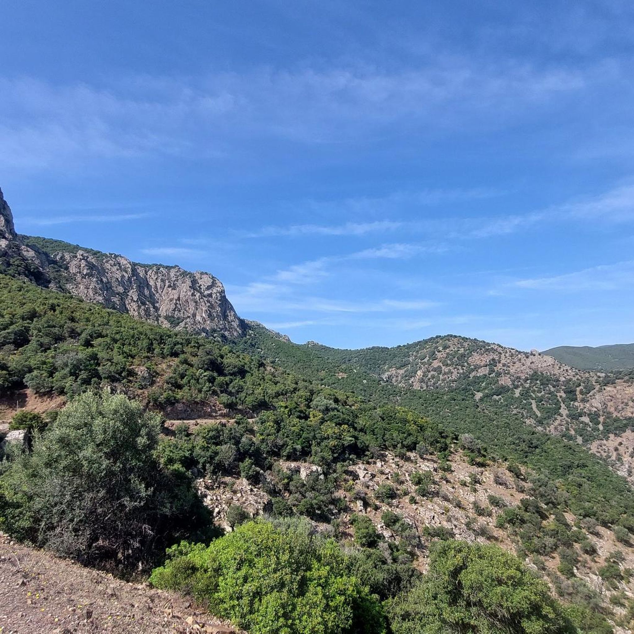
A look back is often worthwhile ;-)
0
0
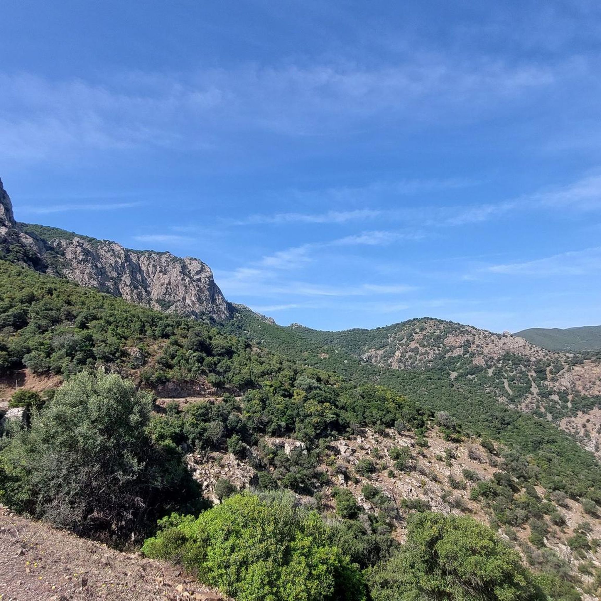
A long, narrow road leads to this parking lot and picnic area. From here, you can enjoy a wonderful hike above the river.
0
0
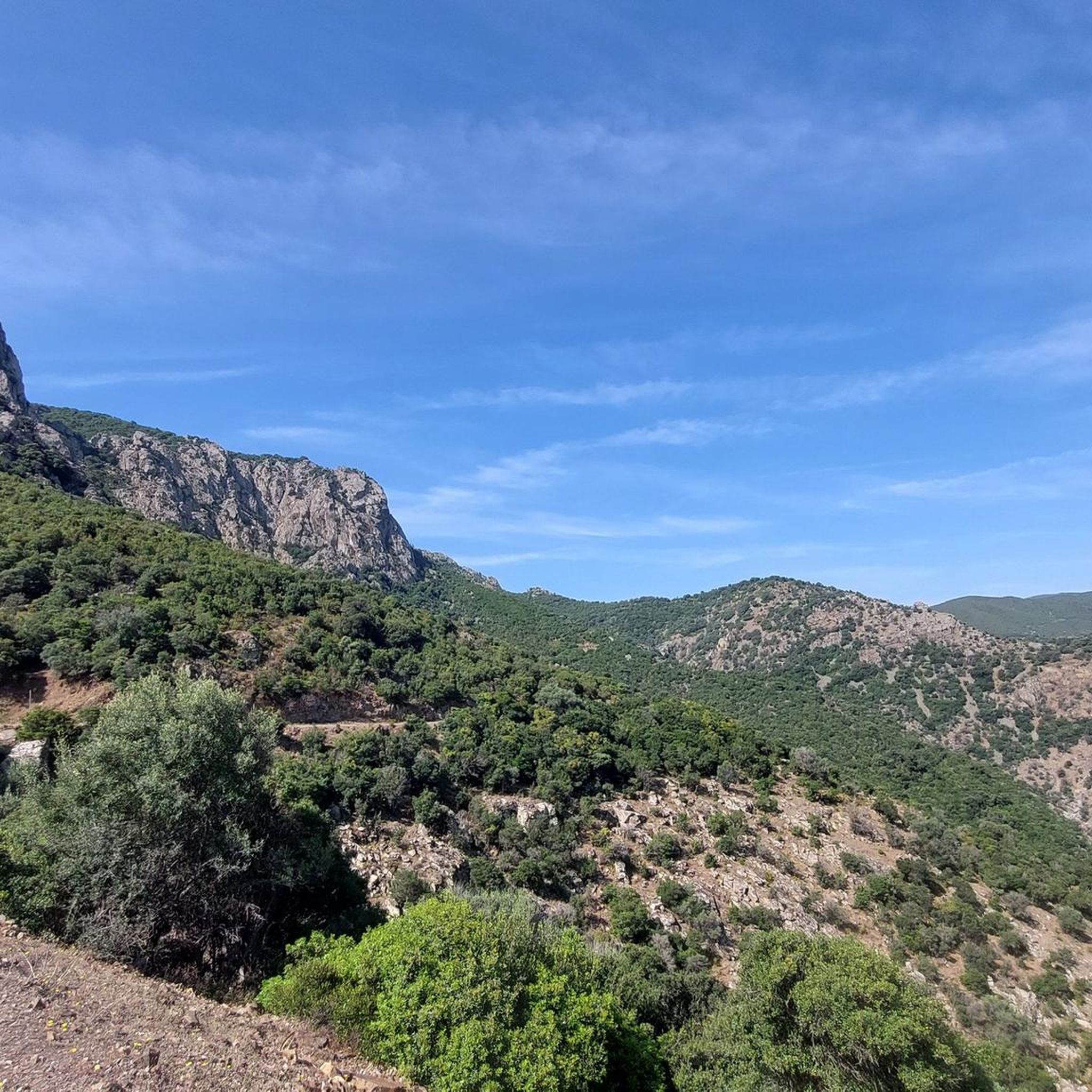
Here a beautiful hidden rest area invites you to take a break.
0
0

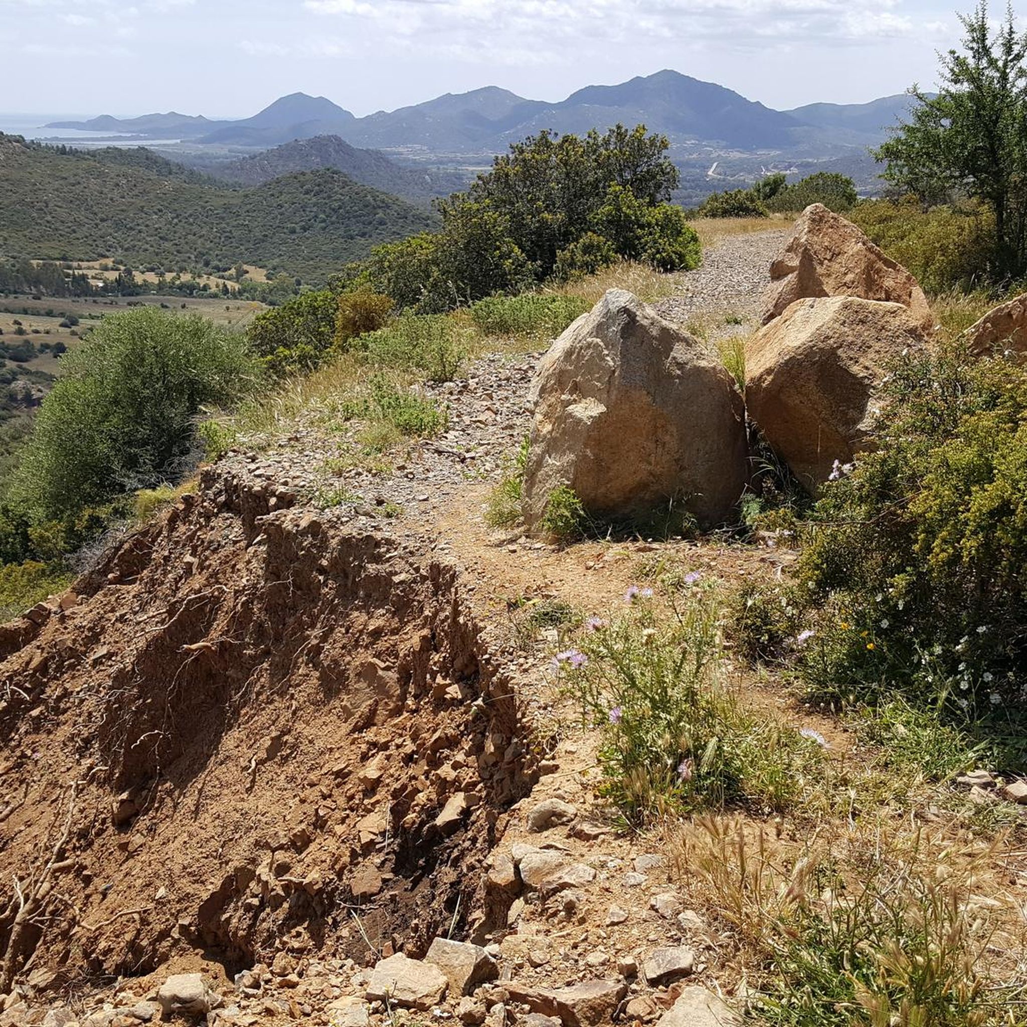
Panoramic point in the Baccu Arrodas Forestry Yard, easily accessible by a wide dirt road. Do not underestimate the sometimes severe slopes. From here it is possible to admire the towns of San Vito, Villaputzu and a part of Muravera.
2
0
Frequently Asked Questions
How many hiking trails are available in Cantiere Forestale Gennargiolas Minderrì?
There are currently 5 hiking routes available in Cantiere Forestale Gennargiolas Minderrì, all rated as moderate difficulty. These trails offer a variety of experiences through dense forests and along flowing torrents.
What kind of landscapes can I expect to see while hiking here?
Hikers in Cantiere Forestale Gennargiolas Minderrì will discover diverse landscapes, including dense forests of holm oak and cork oak, characteristic Mediterranean scrub, and flowing torrents. The region is also home to 23 named mountains, with Genna Argiolas being the highest peak at 774 meters, offering panoramic views.
Are there any circular hiking routes in Cantiere Forestale Gennargiolas Minderrì?
Yes, the forest features several well-marked circular routes. For example, the View of the Mountain Valley – Girolimo Picnic Area loop from Cuili Girolimo is a popular 7.2 km option, and the Girolimo Picnic Area – View of the Mountain Valley loop from Santu Idu/San Vito offers a longer 14.7 km circular experience.
What historical sites or attractions can be found along the trails?
Cantiere Forestale Gennargiolas Minderrì is rich in history. You can explore remnants of the ancient "Via dell'Argento" (Silver Route), including the historical Masaloni mine with its industrial archaeology. There are also ancient charcoal burning sites and the ruins of Roman thermal baths, sometimes referred to as the "Pantaleo Church".
Are there any family-friendly hiking options?
While all routes are currently rated as moderate, many sections are suitable for families looking for an immersive nature experience. The presence of equipped areas with benches and tables for picnics, as mentioned in regional research, makes it convenient for family outings. Shorter loops like the View of the Mountain Valley – Girolimo Picnic Area loop from Santu Idu/San Vito (7.2 km) could be good starting points.
Can I bring my dog on the hiking trails?
The trails in Cantiere Forestale Gennargiolas Minderrì generally welcome dogs, but it's always recommended to keep them on a leash, especially given the region's ecological importance as a resting place for migratory birds and its experimental breeding of the Sardinian hare. Please ensure you follow local regulations regarding pets.
What is the typical duration for hikes in this area?
Hikes in Cantiere Forestale Gennargiolas Minderrì vary in length and duration. Shorter loops, such as the 7.2 km routes like View of the Mountain Valley – Girolimo Picnic Area loop from Cuili Girolimo, typically take around 2 hours. Longer trails, like the 15.6 km Gate to Nuraghe – Dry Creek Bed loop from Murera/Muravera, can take over 4 hours.
What do other hikers say about Cantiere Forestale Gennargiolas Minderrì?
The hiking routes in Cantiere Forestale Gennargiolas Minderrì are highly rated by the komoot community, with an average score of 4.5 stars from over 30 reviews. Hikers often praise the uncontaminated nature, dense forests, and the serene backdrop provided by the flowing torrents.
Are there any facilities like picnic areas along the trails?
Yes, to enhance the visitor experience, equipped areas with benches and tables for picnics are being developed within the forest. These spots provide ideal places to rest and enjoy the natural surroundings.
What is the best time of year to go hiking in Cantiere Forestale Gennargiolas Minderrì?
Given the Mediterranean climate and dense forest cover, spring and autumn are generally the most pleasant seasons for hiking, offering milder temperatures and vibrant natural colors. Summer can be hot, but the shaded forest trails and abundant water resources may still provide enjoyable conditions.
Are there any challenging hikes for experienced hikers?
While all listed routes are rated as moderate, some offer significant elevation gain and longer distances, providing a good challenge. For instance, the Gate to Nuraghe – Dry Creek Bed loop from Murera/Muravera covers 15.6 km with over 500 meters of elevation gain, making it a more demanding option.
Is there parking available near the trailheads?
While specific parking locations are not detailed in the route descriptions, trailheads for routes like those starting from Cuili Girolimo or Santu Idu/San Vito typically have designated or informal parking areas nearby to accommodate hikers accessing the forest.
Most popular routes in Cantiere Forestale Gennargiolas Minderrì

Get inspired with the komoot mobile app


Explore more
Browse the best Hikes in other regions.
