Forêt Domaniale De Ceüse
Forêt Domaniale De Ceüse
The best walks and hikes in Forêt Domaniale De Ceüse
4.5
(450)
3,868
hikers
12
hikes
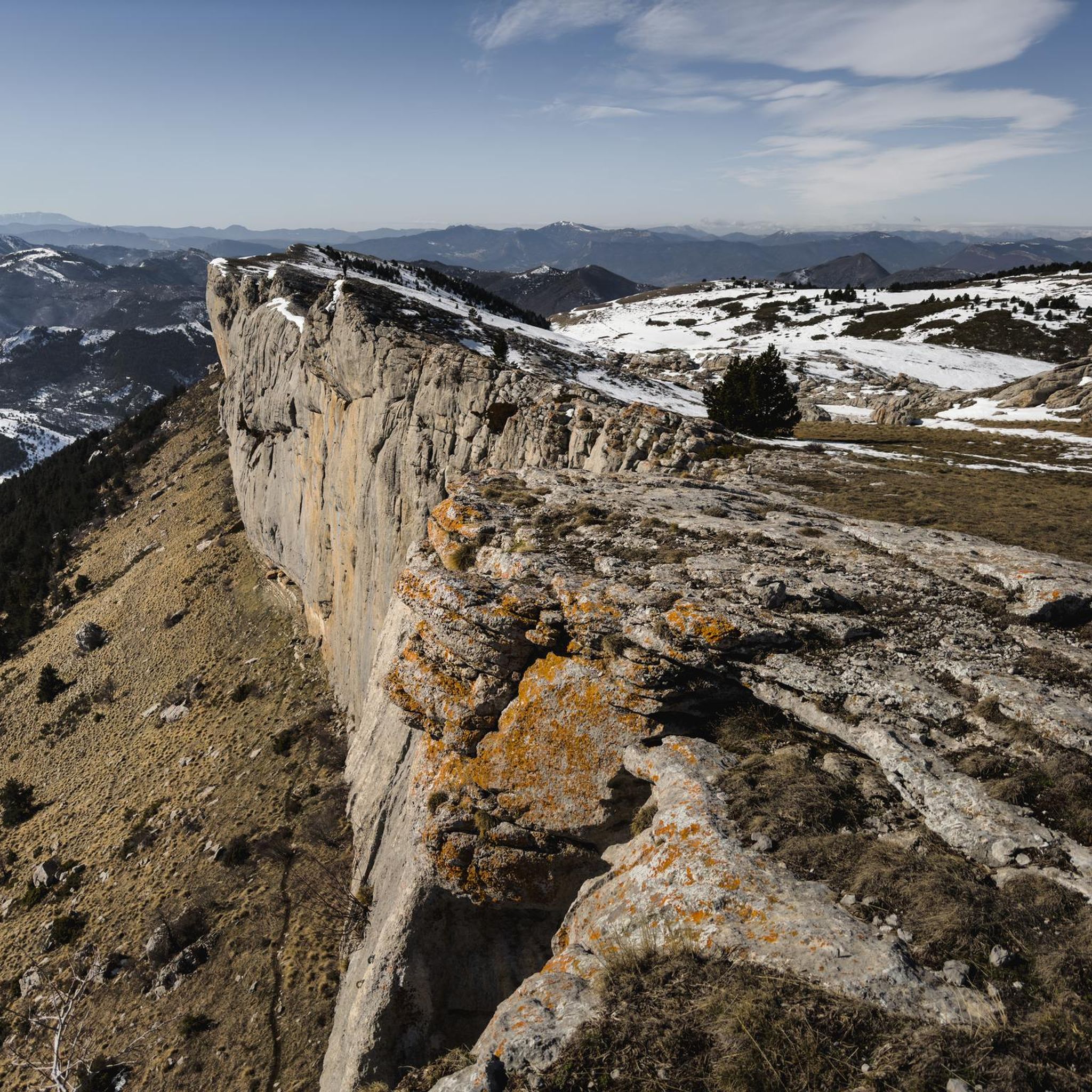
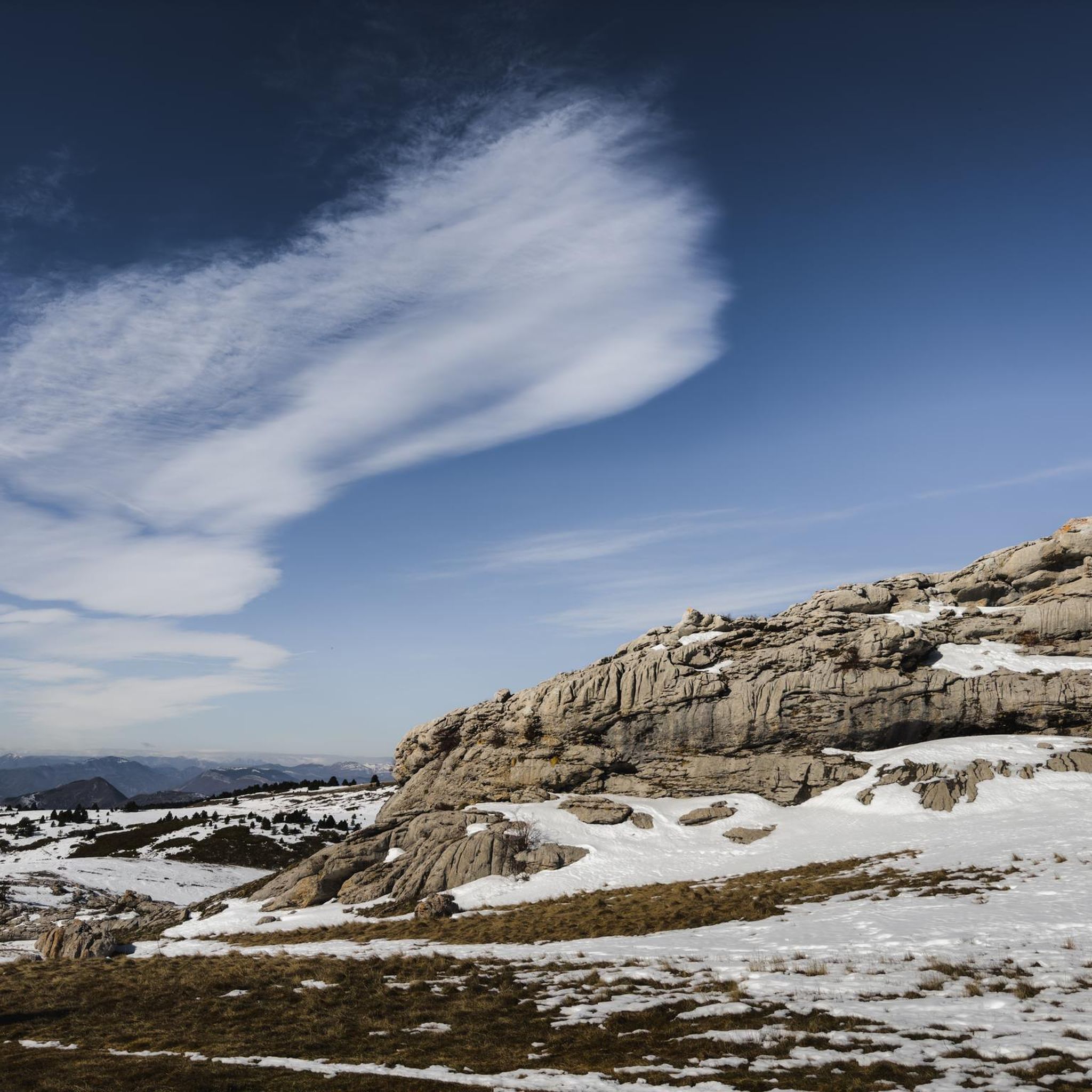
Hiking trails in Forêt Domaniale De Ceüse traverse a diverse landscape characterized by a horseshoe-shaped limestone cliff, an expansive forest, and a high meadow plateau. The area, a Natura 2000 zone, features varied terrain including waterfalls and waterways. Hikers can explore a range of environments, from dense woodlands to open meadows offering panoramic views. The forest spans 1900 hectares, providing numerous paths for outdoor activity.
Best hiking trails in Forêt Domaniale De Ceüse
- The most popular hiking route is Guérins…
Last updated: July 9, 2026
4.8
(19)
202
hikers
6.30km
02:12
340m
340m
Hard hike. Good fitness required. Sure-footedness, sturdy shoes and alpine experience required.
12
hikers
6.04km
02:03
240m
240m
Moderate hike. Good fitness required. Mostly accessible paths. Sure-footedness required.

Sign up for free
5.0
(2)
12
hikers
12.0km
04:27
550m
550m
Hard hike. Good fitness required. Sure-footedness, sturdy shoes and alpine experience required.
9
hikers
Moderate hike. Good fitness required. Mostly accessible paths. Sure-footedness required.
5.0
(1)
9
hikers
18.0km
06:48
870m
870m
Hard hike. Very good fitness required. Sure-footedness, sturdy shoes and alpine experience required.
Get access to more routes and recommendations from other explorers.
Sign up for free
Already have an account?
Our route recommendations are based on thousands of hikes, rides, and runs completed by other people on komoot.
Start today with a free account
Your next adventure awaits.
Login or Signup

Tips from the Community


The last stretch from the field to the summit of Petite Céüze is a climb and a scramble. Not for those with a fear of heights. It's doable, but be careful. The same goes for the descent! Our eleven-year-old had the time of his life. The view from the top is breathtaking, and you can see far and wide!
1
0

The effort (crossing the delicate rock bar) is well rewarded by a magnificent view.
2
0

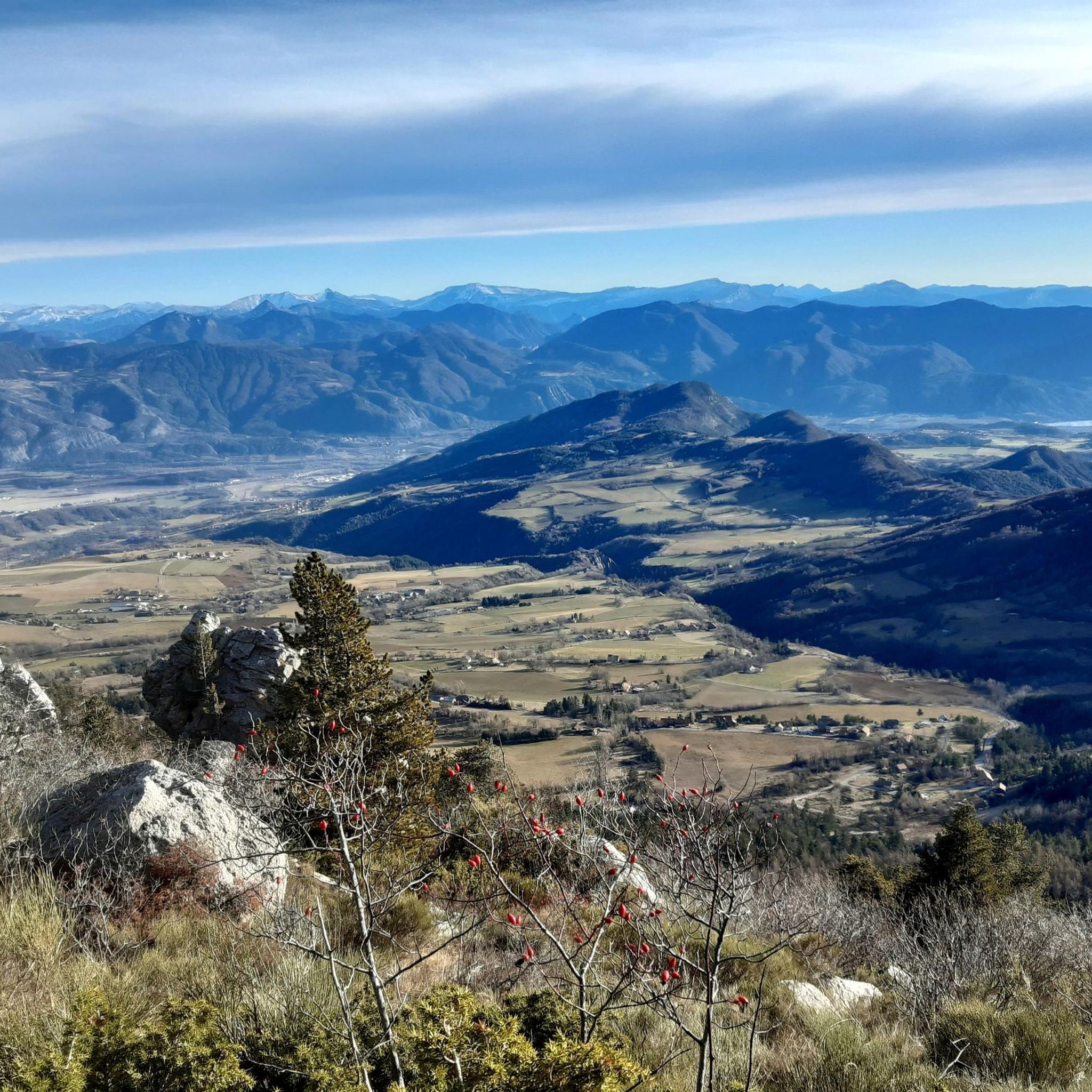
With its 2,016 meters this pass offers a magnificent balcony over the surrounding peaks, such as the peaks of Dévoluy.
0
0

The Montagne de Céüse culminates at an altitude of 2,016m. It is included in the Natura 2000 protected area. Some of the most extreme climbing routes in the world are found on the cliffs of the mountain. From the top there is an exceptional view.
0
1

Frequently Asked Questions
What is the general difficulty level of hiking trails in Forêt Domaniale De Ceüse?
Forêt Domaniale De Ceüse offers a range of trails, primarily catering to moderate and difficult ability levels. While the region research mentions paths suitable for all skill levels, the available komoot routes are mostly moderate or difficult, requiring good fitness and sturdy shoes. There are 8 moderate routes and 4 difficult routes listed.
What natural features and viewpoints can I expect to see while hiking in Forêt Domaniale De Ceüse?
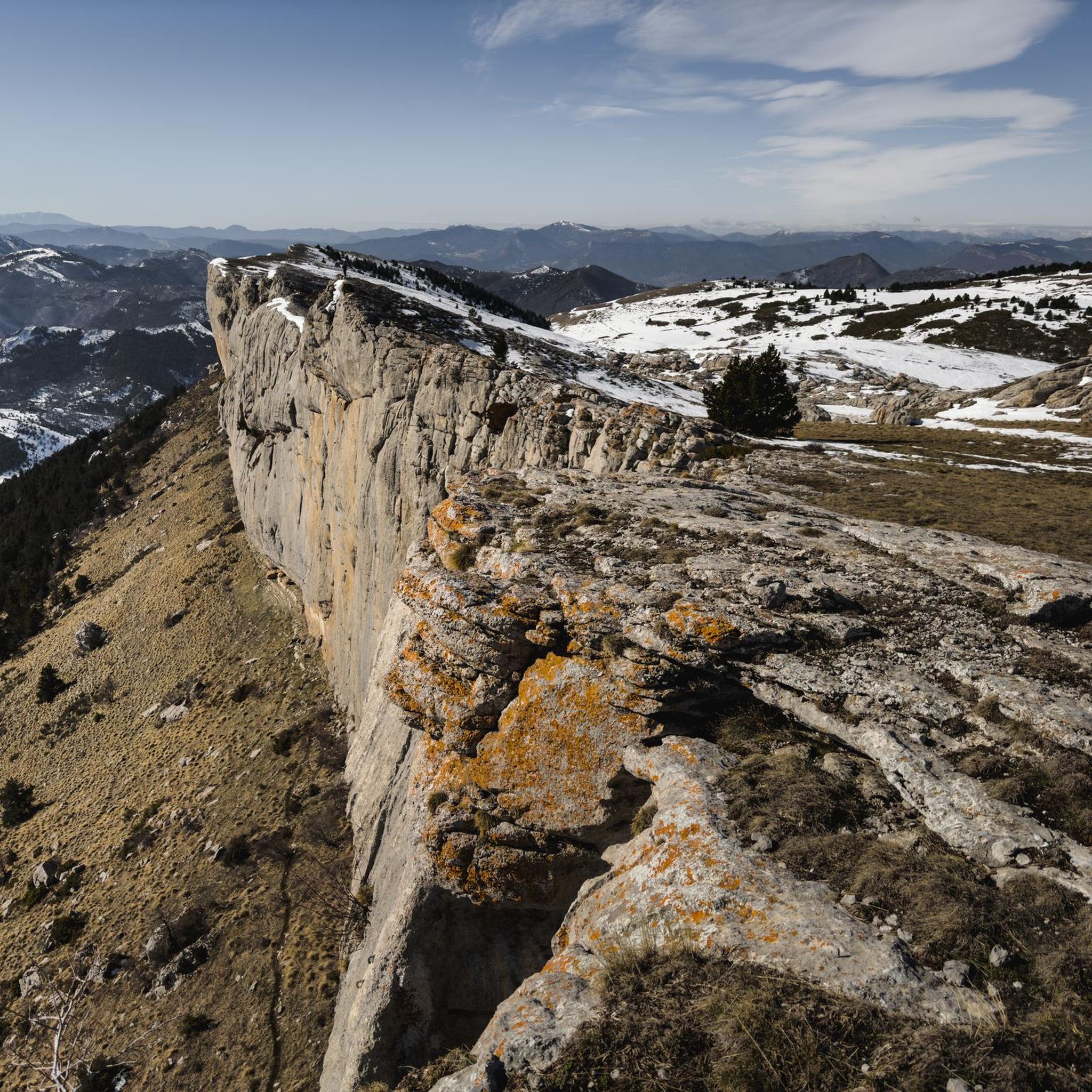
Hikers in Forêt Domaniale De Ceüse can experience a diverse landscape. The most striking feature is the majestic, horseshoe-shaped limestone cliff, known as the "Corniche de Céûse," which is globally renowned. You'll also find an expansive forest, high meadow plateaus offering panoramic views, and beautiful waterfalls and peaceful waterways. The area is also a Natura 2000 zone, highlighting its ecological significance.
Are there any circular hiking routes in Forêt Domaniale De Ceüse?
Yes, several routes in Forêt Domaniale De Ceüse are circular. For example, the Guérins Pass loop from Col des Guérins is a moderate 6 km trail. Another option is the more challenging Guérins Pass – La Petite Céüse loop from Col des Guérins, which covers nearly 6.3 km.
Can I hike with my dog in Forêt Domaniale De Ceüse?
Forêt Domaniale De Ceüse is a Natura 2000 zone, which means it's an ecologically sensitive area. While specific regulations for dogs are not detailed, it's generally advisable to keep dogs on a leash to protect local wildlife and ensure a pleasant experience for all hikers. Always check local signage for any specific restrictions.
Are there any longer, more challenging hikes available?
Yes, for those seeking a more strenuous experience, the Guérins Pass – Ceüse loop from Col des Guérins is a difficult 12 km path with significant elevation gain through varied forest and mountain terrain. Another challenging option is the View of the Sigoyer plain – Ceuze pike loop from Col des Guérins, which spans nearly 18 km.
What is the best time of year to go hiking in Forêt Domaniale De Ceüse?
The pre-Alpine mountain's flower meadows are particularly beautiful in early summer, offering the scent of wild lavender. This suggests late spring to early summer is an excellent time to visit for vibrant flora. However, the diverse landscape makes it suitable for hiking throughout the warmer months, with autumn also offering pleasant conditions.
What do other hikers enjoy most about hiking in Forêt Domaniale De Ceüse?
The komoot community highly rates the hiking experience in Forêt Domaniale De Ceüse, with an average score of 4.4 stars from over 400 reviews. Hikers often praise the distinctive limestone cliff formations, the dense forest, and the high meadow plateaus. The varied terrain and panoramic views are frequently highlighted as key attractions.
Are there any other activities besides hiking in the area?
Beyond hiking, Forêt Domaniale De Ceüse is world-renowned as a premier rock climbing destination, with over 600 climbing routes on the "Corniche de Céûse." There's also a via ferrata, 40 meters high, providing a guided vertical experience. Additionally, you can explore the area's heritage on the Forest Heritage Trail (Sentier Patrimonial Forestier de Céüse).
Are there any trails that offer views of the Sigoyer plain?
Yes, the View of the Sigoyer plain – Biographie Climbing Route loop from Pic de Céüse is a moderate 10.3 km trail that leads through the forest and provides views of the Sigoyer plain. This route is often completed in about 3 hours 40 minutes.
What kind of landscape was Forêt Domaniale De Ceüse before it became a forest?
The expansive forest, spanning 1900 hectares, was entirely constituted by human effort after 1890. Before this, the area was primarily characterized by ravines and scree, highlighting a significant transformation into the verdant landscape seen today.
Are there any specific geological formations worth noting?
Absolutely. The most prominent geological feature is the horseshoe-shaped limestone cliff, the "Corniche de Céûse." This formation is known for its distinctive blue and ochre coloring and features unique pocket-marks in the limestone, making it a significant site for both hikers and climbers.
Most popular routes in Forêt Domaniale De Ceüse

Get inspired with the komoot mobile app


Explore more
Browse the best Hikes in other regions.
