The best road cycling routes in Bois De Barbarai
4.4
(227)
5,121
riders
130
rides
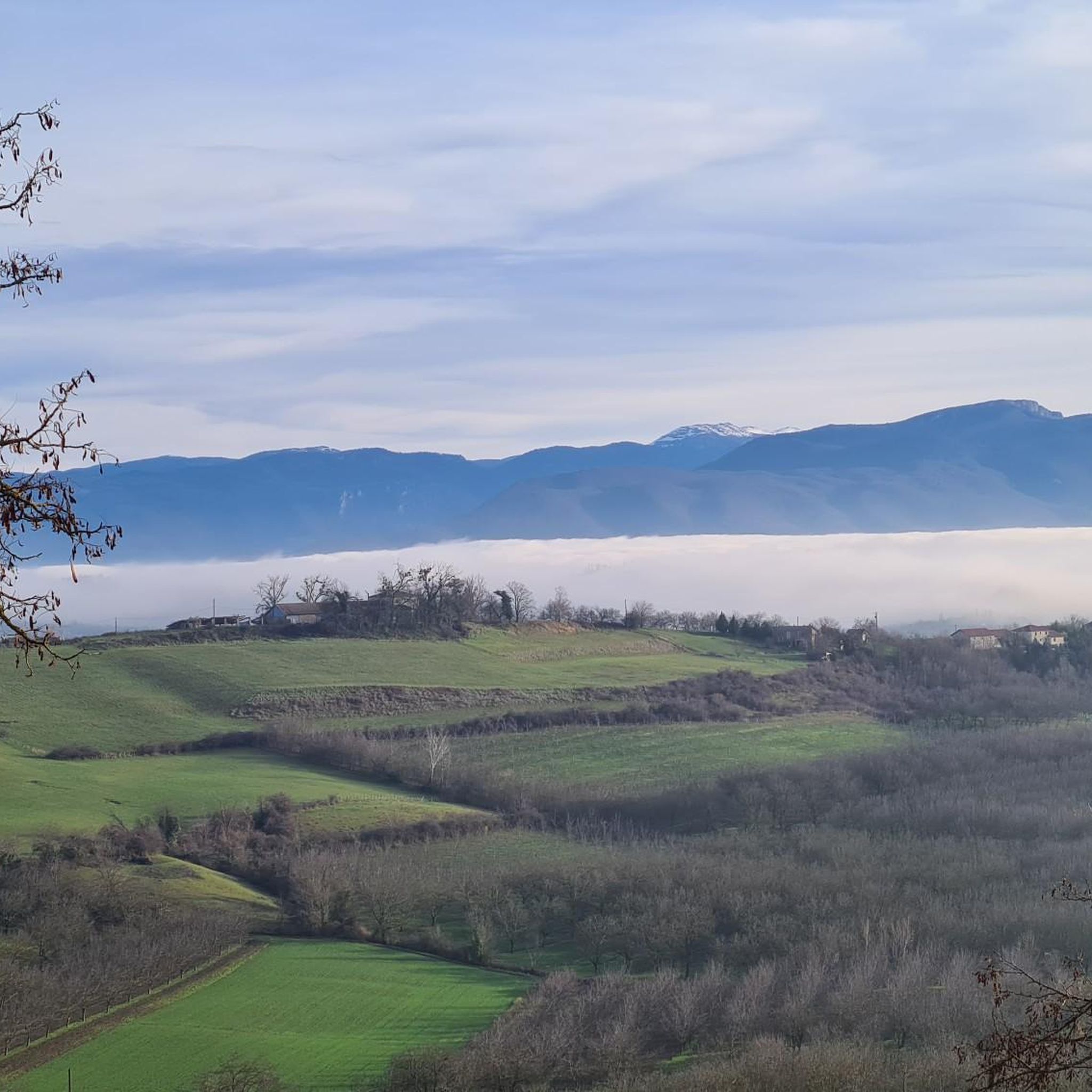
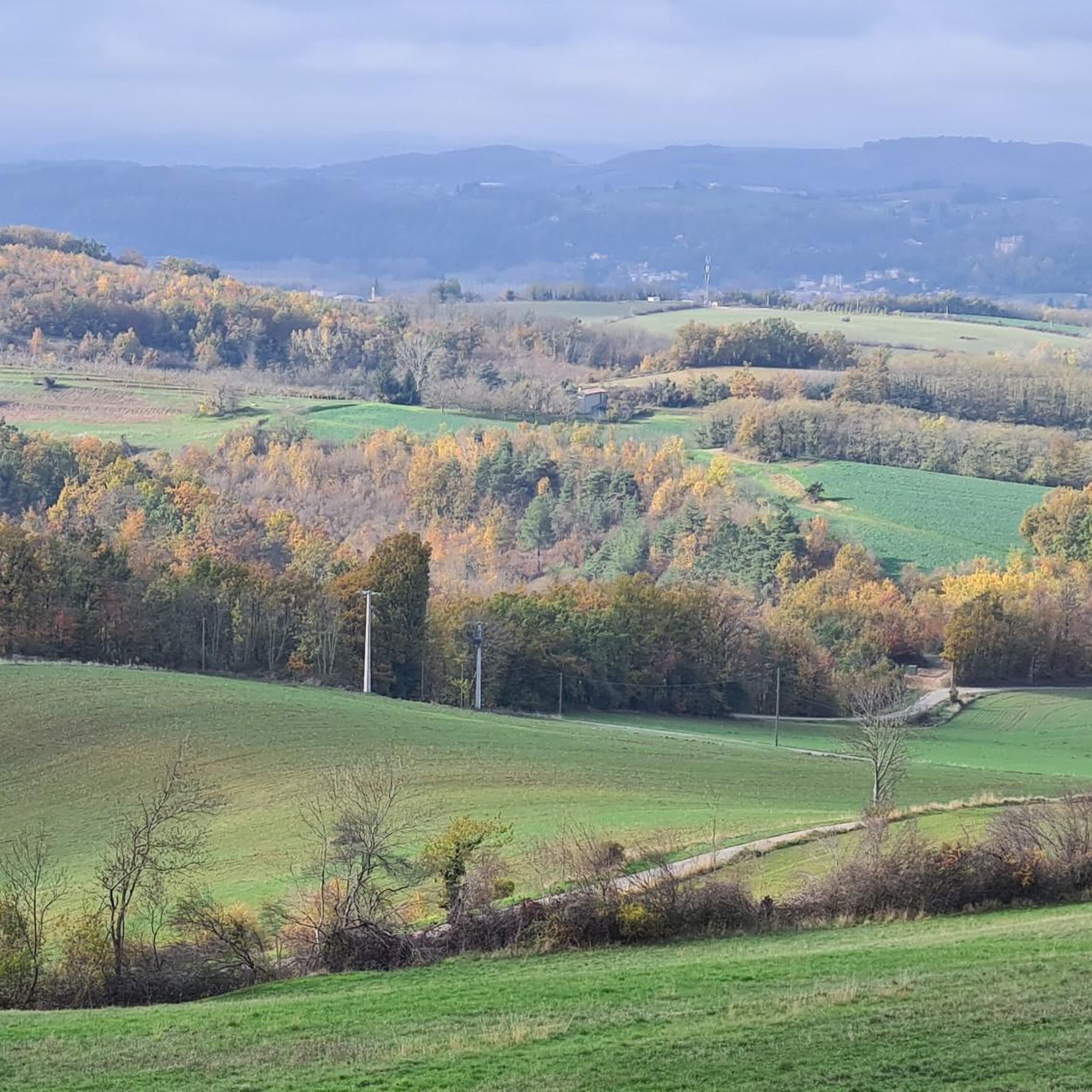
Road cycling routes in Bois De Barbarai traverse a landscape characterized by its dense forests and rolling hills, offering varied terrain for cyclists. The region, situated near Valence, features a mix of ascents and descents, with some routes leading to higher elevations like Mont Brofard. Cyclists can expect paths winding through wooded areas, past agricultural lands, and through charming villages. The area provides a diverse environment for road cycling, from challenging climbs to more gentle, scenic rides.
Best road cycling…
Last updated: July 15, 2026
25
riders
25.9km
01:15
320m
310m
Moderate road ride. Good fitness required. Mostly well-paved surfaces and easy to ride.
3
riders
42.5km
02:03
430m
420m
Moderate road ride. Good fitness required. Some segments of this route may be unpaved and difficult to ride.

Sign up for free
3
riders
57.8km
02:56
850m
840m
Moderate road ride. Good fitness required. Mostly well-paved surfaces and easy to ride.
5.0
(1)
21
riders
35.8km
01:41
480m
480m
Moderate road ride. Good fitness required. Mostly well-paved surfaces and easy to ride.
5.0
(1)
16
riders
46.6km
02:21
750m
750m
Moderate road ride. Good fitness required. Mostly well-paved surfaces and easy to ride.
Get access to more routes and recommendations from other explorers.
Sign up for free
Already have an account?
Our route recommendations are based on thousands of hikes, rides, and runs completed by other people on komoot.
Start today with a free account
Your next adventure awaits.
Login or Signup



Tips from the Community

The FRANCE VOYAGE website reports on the origin of the current place name with Saint DONATUS: "With the advent of Christianity, Saint-Donat bore the name Jovincieu or Jovenzieux. In 732, during the invasion of the Saracens, Corbus, the bishop of Grenoble, fled to Jovenzieux and brought with him the relics of Saint Donatus, who died in the 6th century, on his way to Sisteron – hence the name Saint-Donat." However, the collegiate church located in the town has a different patron saint than the place name; here, the choice was made for the two prince of the apostles, SAINTS PIERRE et PAUL, whose common feast day is celebrated on June 29th in the calendar.
0
0

Listed among the Most Beautiful Villages in France, Saint-Antoine-l'Abbaye surprises with the richness of its medieval heritage. The Gothic abbey church overlooks a collection of cobbled streets, half-timbered houses, and terraced gardens.
1
0

Very beautiful cloister with sculptures of musicians
0
0

An exceptional site in a green, quiet setting with an exceptional heritage
0
0

Quiet idyllic side street
0
0

360° panorama of the Drôme des Collines, and in the distance the Chartreuse, the Vercors, the Monts du Vivarais, the Pilat...
0
0


Nice climb with, when you come from Bathernay, a very steep way to the top for dessert!
0
0
Frequently Asked Questions
How many road cycling routes are available in Bois De Barbarai?
Bois De Barbarai offers a wide selection of road cycling routes, with over 120 tours available. These routes cater to various skill levels, including 20 easy, 92 moderate, and 16 difficult options.
Are there easy road cycling routes suitable for beginners in Bois De Barbarai?
Yes, Bois De Barbarai has 20 easy road cycling routes perfect for beginners or those looking for a more relaxed ride. These routes typically feature less elevation gain and shorter distances.
What are the typical road conditions like for cycling in Bois De Barbarai?
The road cycling routes in Bois De Barbarai traverse a landscape characterized by dense forests and rolling hills. Cyclists can expect paths winding through wooded areas, past agricultural lands, and through charming villages. Road surfaces are generally well-maintained, offering a diverse environment for cycling.
Are there challenging climbs for experienced road cyclists in Bois De Barbarai?
Absolutely. The region features a mix of ascents and descents, with some routes leading to higher elevations like Mont Brofard. For a challenging ride with significant elevation gain, consider the Génissieux Church – Mont Brofard loop from Geyssans, which covers 35.5 miles (57.1 km) and includes a substantial climb.
Are there circular road cycling routes in Bois De Barbarai?
Many of the road cycling routes in Bois De Barbarai are designed as loops, allowing you to start and finish in the same location. An example is the Bellevue Ponds – Ponds of Chaleyre loop from Geyssans, a moderate 30.9-mile (49.9 km) path offering scenic views.
What is the typical duration for road cycling routes in Bois De Barbarai?
Route durations vary significantly based on distance and elevation. For instance, the Saint-Michel-sur-Savasse – Montmiral church loop from Saint-Michel-sur-Savasse is about 11.4 miles (18.4 km) and typically takes around 58 minutes. Longer routes, like the Génissieux Church – Mont Brofard loop from Geyssans, can take nearly 3 hours.
Can I find quiet road cycling routes away from heavy traffic in Bois De Barbarai?
Yes, many routes in Bois De Barbarai wind through dense forests and past agricultural lands, often utilizing quieter country roads. The region's focus on natural landscapes provides ample opportunities for peaceful cycling away from bustling areas.
Are there scenic viewpoints on the road cycling routes in Bois De Barbarai?
The rolling hills and varied terrain of Bois De Barbarai offer numerous opportunities for scenic views. Routes often pass through charming villages and provide vistas of the surrounding countryside. For example, the Saint-Antoine-l'Abbaye – View of Montagne Village loop from Le Chalon offers picturesque views.
What do other road cyclists enjoy most about road cycling in Bois De Barbarai?
The area is highly rated by the komoot community, with an average score of 4.5 stars from over 240 reviews. Cyclists often praise the diverse environment, from challenging climbs to gentle scenic rides, and the beautiful blend of forests, rolling hills, and picturesque villages.
Are there longer road cycling routes available for endurance training in Bois De Barbarai?
For those seeking longer rides, Bois De Barbarai offers several options. The Génissieux Church – Mont Brofard loop from Geyssans is 35.5 miles (57.1 km), and the Bellevue Ponds – Ponds of Chaleyre loop from Geyssans covers 30.9 miles (49.9 km), both providing substantial distances for endurance cyclists.
When is the best time of year for road biking in Bois De Barbarai?
Given its location near Valence and its landscape of forests and rolling hills, spring and autumn generally offer the most pleasant conditions for road cycling in Bois De Barbarai. Temperatures are milder, and the natural scenery is particularly vibrant. Summer can also be enjoyable, especially in the mornings or late afternoons, though some days may be warmer.
Are there family-friendly road bike trails in Bois De Barbarai?
While specific 'family-friendly' designations aren't always explicit for road cycling, the 20 easy routes available in Bois De Barbarai are generally suitable for families with older children or those looking for less strenuous rides. These routes often feature gentler terrain and shorter distances.
Where can I find parking for road biking in Bois De Barbarai?
Parking availability varies by starting point. Many routes begin near villages or towns like Geyssans or Saint-Michel-sur-Savasse, where public parking may be available. It's advisable to check specific starting points for parking options when planning your ride.
Most popular routes in Bois De Barbarai

Get inspired with the komoot mobile app


Explore more
Browse the best Road cycling routes in other regions.
