The best walks and hikes in Bois De La Côte De L'Heute
4.4
(2739)
14,640
hikers
284
hikes
Hiking in Bois De La Côte De L'Heute offers diverse trails within a significant geological formation in the Jura department of France. This 40-kilometer long area is characterized by Jurassic rocks and a complex, faulted structure. The terrain features a predominantly deciduous forest massif, with the highest point reaching 754 meters, providing elevated perspectives. The region serves as a natural boundary, separating the Lons-le-Saunier plateau to the west from the Champagnole plateau to the east.
Best hiking trails in Bois De La Côte De L'Heute
- The most popular hiking route is Belvédère de Châtillon – Ain Valley Viewpoint loop from Châtillon, a 3.6 miles (5.8 km) trail that takes 1 hour 37 minutes to complete. This easy route offers views over the Ain Valley.
- Another top favourite among local hikers is Binand Castle loop from Verges, a moderate 7.5 miles (12.0 km) path. This trail leads through varied forest landscapes and past historical points of interest.
- Local hikers also love the View of the Castle Ruins loop from Mirebel, a 1.0 mile (1.7 km) trail leading through forested areas, often completed in about 28 minutes.
- Hiking in Bois De La Côte De L'Heute is defined by its geological rupture, extensive deciduous forests, and elevated viewpoints. The network offers options for various ability levels, from easy strolls to more challenging excursions.
- The routes in Bois De La Côte De L'Heute are highly rated by the komoot community with an average score of 4.5 stars from over 2,400 reviews. More than 14,000 hikers have used komoot to explore Bois De La Côte De L'Heute's varied terrain.
Last updated: July 6, 2026
4.1
(9)
37
hikers
5.83km
01:37
110m
110m
Easy hike. Great for any fitness level. Easily-accessible paths. Suitable for all skill levels.
3.0
(1)
13
hikers
12.0km
03:26
270m
270m
Moderate hike. Good fitness required. Easily-accessible paths. Suitable for all skill levels.

Sign up for free
3.0
(1)
14
hikers
1.69km
00:29
40m
40m
Easy hike. Great for any fitness level. Easily-accessible paths. Suitable for all skill levels.
9
hikers
8.21km
02:36
260m
260m
Moderate hike. Good fitness required. Mostly accessible paths. Sure-footedness required.
5.0
(1)
7
hikers
5.90km
01:31
30m
30m
Easy hike. Great for any fitness level. Easily-accessible paths. Suitable for all skill levels.
Get access to more routes and recommendations from other explorers.
Sign up for free
Already have an account?
Our route recommendations are based on thousands of hikes, rides, and runs completed by other people on komoot.
Start today with a free account
Your next adventure awaits.
Login or Signup

Tips from the Community

entrance to the Jura lake country
0
0

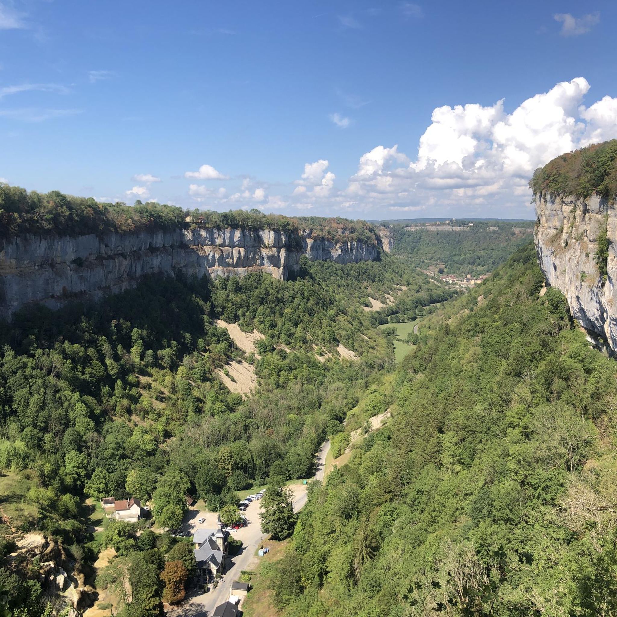
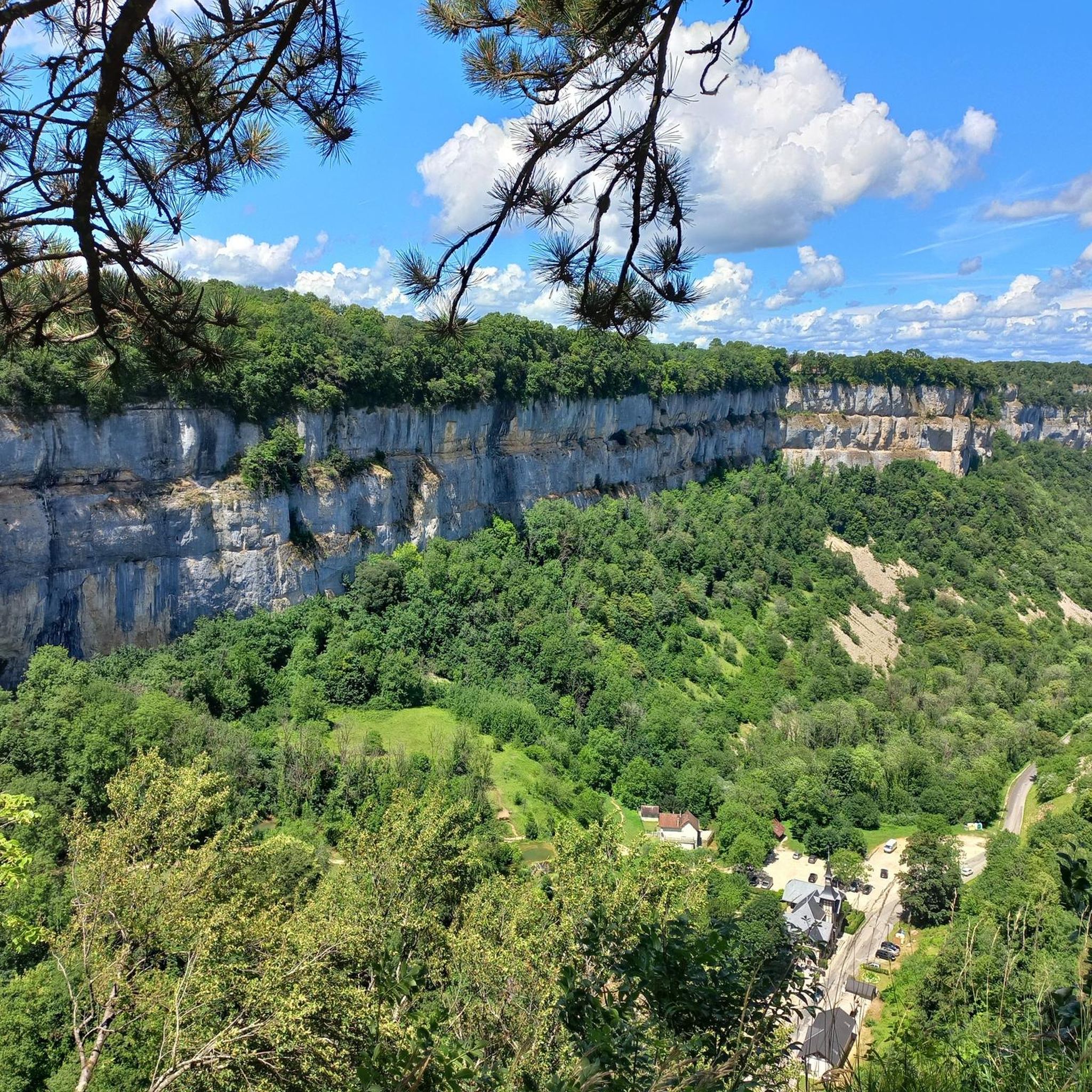
From this belvedere, also called belvedere of the Virgin, you can see the town of Châtillon which forms an arc of a circle, following the shape of the rock. In the distance, you can admire the entire green expanse of the Ain valley.
0
0

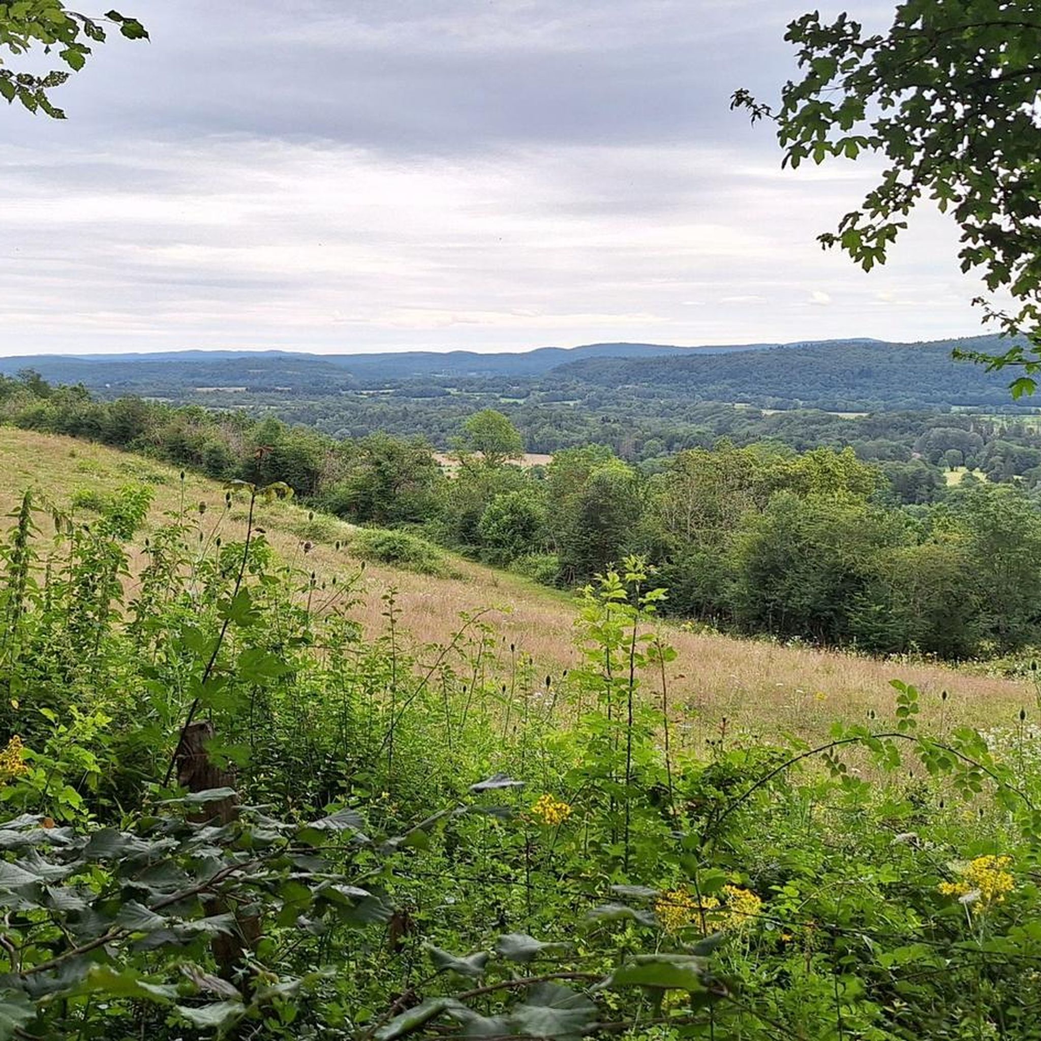
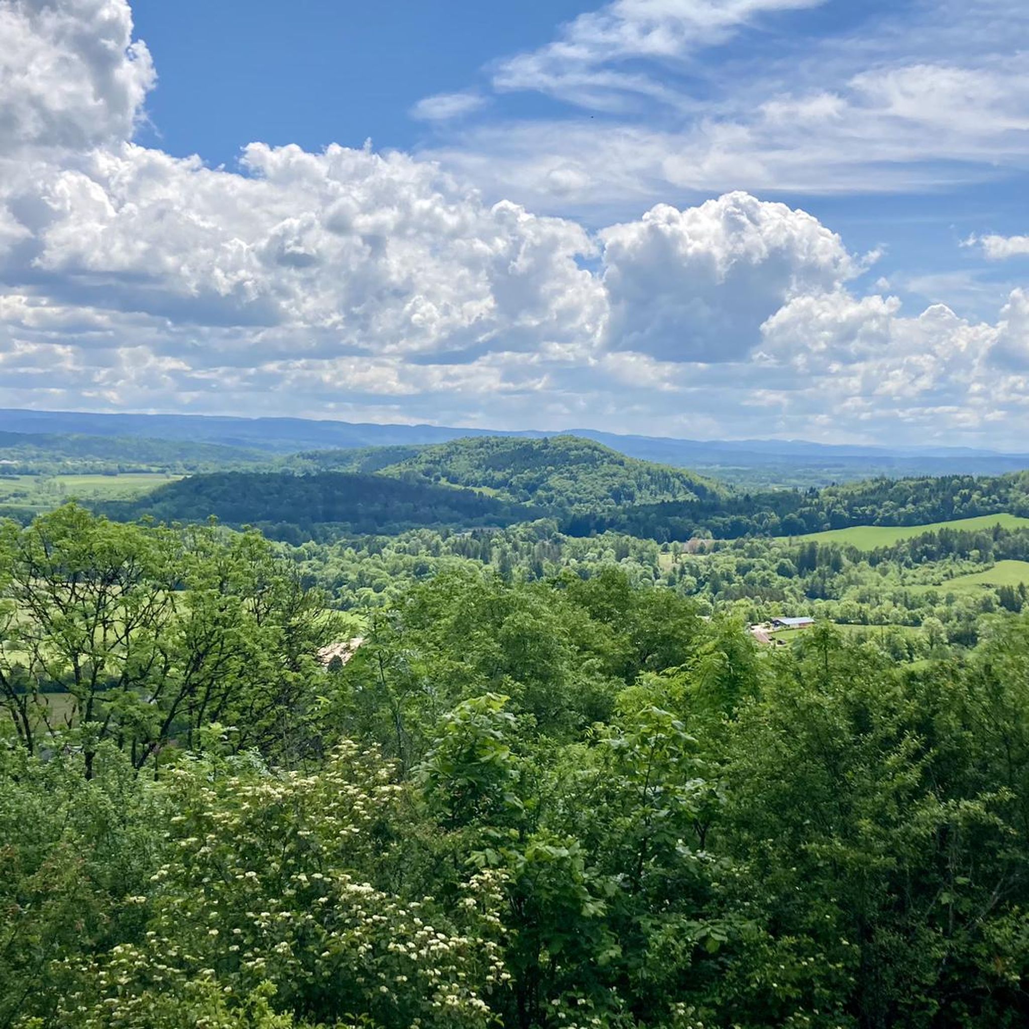
A very nice view of the valley
1
0

Beautiful Jura view above Châtillon. More information: https://de.wikipedia.org/wiki/Ch%C3%A2tillon_(Jura)
0
0
Frequently Asked Questions
How many hiking trails are available in Bois De La Côte De L'Heute?
Bois De La Côte De L'Heute offers a wide range of hiking opportunities, with nearly 270 routes available. These include 124 easy trails, 127 moderate paths, and 17 more challenging excursions, catering to various fitness levels.
What kind of terrain can I expect when hiking in Bois De La Côte De L'Heute?
The terrain in Bois De La Côte De L'Heute is characterized by its unique geological structure, featuring Jurassic rocks and a complex, faulted landscape. You'll primarily hike through extensive deciduous forests, with the highest points reaching 754 meters, offering elevated perspectives across the region.
Are there any family-friendly hiking options in Bois De La Côte De L'Heute?
Yes, there are many family-friendly options. With 124 easy trails, you can find routes suitable for all ages. For example, the View of the Castle Ruins loop from Mirebel is a short, easy trail through forested areas, perfect for a quick family outing.
What are some notable natural features or viewpoints to see along the trails?
The region is known for its elevated perspectives. You can visit the Belvédère de Châtillon or the Ain Valley Viewpoint for stunning vistas. The Belvédère de Châtillon – Ain Valley Viewpoint loop from Châtillon is an easy route that takes you to these scenic spots.
Are there any historical points of interest along the hiking routes?
Yes, some trails incorporate historical elements. The Binand Castle loop from Verges leads through varied forest landscapes and past historical points of interest, offering a blend of nature and history.
What do other hikers say about the trails in Bois De La Côte De L'Heute?
The routes in Bois De La Côte De L'Heute are highly rated by the komoot community, with an average score of 4.5 stars from over 2,400 reviews. Hikers often praise the diverse natural environment, the extensive network of trails, and the opportunity to immerse themselves in the unique forested and geological landscapes.
Are there any circular hiking routes available?
Yes, many of the trails in Bois De La Côte De L'Heute are circular, allowing you to start and end at the same point. Examples include the Binand Castle loop from Lons-le-Saunier and the Voie Verte PLM cycle path – Old bridge over the PLM loop from Châtillon.
What is the best season for hiking in Bois De La Côte De L'Heute?
The massif is predominantly composed of deciduous trees, which means the area offers beautiful scenery, especially during spring with fresh foliage and autumn with vibrant colors. While hiking is possible year-round, these seasons provide particularly picturesque conditions.
Are there any trails that follow old railway lines or paths?
Yes, you can explore routes that utilize former railway infrastructure. The Voie Verte PLM cycle path and The Old Railway Tunnel are notable highlights, offering unique pathways for hiking and cycling.
What is the highest point I can reach on a hike in this region?
The highest point of the Côte de l'Heute reaches an altitude of 754 meters. While specific trails may not lead directly to the absolute peak, many routes offer elevated perspectives across the region, allowing you to experience the significant elevation changes.
Can I find trails suitable for beginners in Bois De La Côte De L'Heute?
Absolutely. With 124 easy trails, beginners have plenty of options. These routes are generally shorter with less elevation gain, providing a gentle introduction to hiking in the region. The View of the Castle Ruins loop from Mirebel is a good example of an easy, short trail.
Most popular routes in Bois De La Côte De L'Heute
Most popular attractions in Bois De La Côte De L'Heute

Get inspired with the komoot mobile app


Explore more
Browse the best Hikes in other regions.
