The best walks and hikes in Forêt De Moladier
4.3
(137)
909
hikers
112
hikes
Hiking in Forêt De Moladier offers diverse trails within a protected natural environment in the Allier department of Auvergne-Rhône-Alpes. This classic forest environment spans 820 hectares, characterized by sessile oak, common beech, and pedunculate oak trees. Situated on a hilly plateau with a maximum altitude of 299 meters, the forest is traversed by the Ruisseau des Sabotiers and the Goutte Champ Loué rivers. It is recognized for its ecological significance as a ZNIEFF and Natura 2000 site, safeguarding biodiversity.
Best…
Last updated: October 12, 2026
4.0
(4)
6
hikers
11.7km
03:03
80m
80m
Moderate hike. Good fitness required. Easily-accessible paths. Suitable for all skill levels.
5.0
(3)
7
hikers
10.1km
02:38
70m
70m
Moderate hike. Good fitness required. Easily-accessible paths. Suitable for all skill levels.

5.0
(1)
4
hikers
5.33km
01:24
40m
40m
Easy hike. Great for any fitness level. Easily-accessible paths. Suitable for all skill levels.
5.0
(2)
5
hikers
10.3km
02:40
60m
60m
Moderate hike. Good fitness required. Easily-accessible paths. Suitable for all skill levels.
5.0
(1)
4
hikers
5.51km
01:29
70m
70m
Easy hike. Great for any fitness level. Easily-accessible paths. Suitable for all skill levels.
Get access to more routes and recommendations from other explorers.
Already have an account?
Our route recommendations are based on thousands of hikes, rides, and runs completed by other people on komoot.
Start today with a free account
Your next adventure awaits.


Tips from the Community

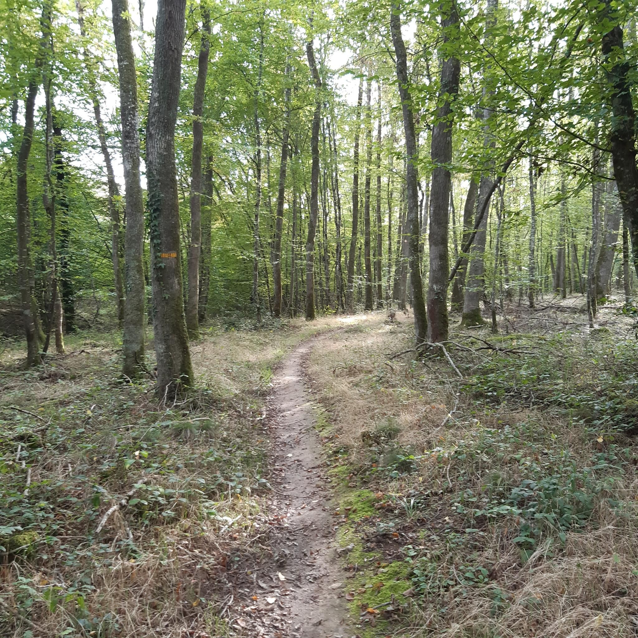
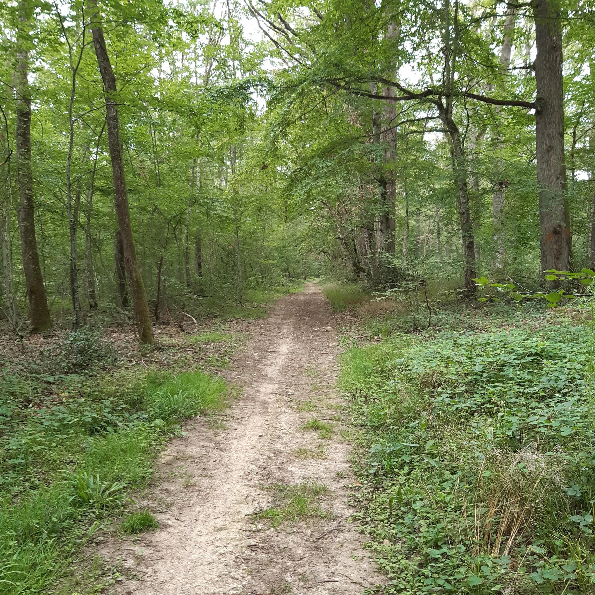
Many animals find refuge in this imposing oak grove, formerly owned by the Dukes of Bourbon. It's a very pleasant cycle along this shaded road.
1
0
Frequently Asked Questions
How many hiking trails are available in Forêt de Moladier?
Forêt de Moladier offers a wide selection of hiking opportunities, with nearly 100 trails to explore. This includes 36 easy routes, 59 moderate options, and a few more challenging treks for experienced hikers.
What is the best time of year to hike in Forêt de Moladier?
The dense and varied woodland of Forêt de Moladier, characterized by majestic sessile oaks and common beeches, provides shaded paths, making it pleasant for hiking during warmer months. The varied topography and serene river valleys are enjoyable throughout spring, summer, and autumn. Winter hikes are also possible, though conditions may vary.
What kind of terrain can I expect on the trails in Forêt de Moladier?
The forest is situated on a hilly plateau, reaching up to 299 meters, and features serene river valleys. You can expect varied terrain ranging from gentle inclines to more challenging sections, with paths winding through dense woods and along waterways like the Ruisseau des Sabotiers and the Goutte Champ Loué.
Are there easy hiking options suitable for beginners or casual walkers?
Yes, Forêt de Moladier offers numerous easy hiking options. There are 36 easy routes available, perfect for beginners or those looking for a relaxed stroll. An example is the Forêt de Moladier loop from Rond-Point de Moladier, a 6.4 km trail that can be completed in about 1 hour 40 minutes.
Are the trails in Forêt de Moladier suitable for families with children?
Many trails in Forêt de Moladier are suitable for families, especially the easier routes. The tranquil forest environment and varied landscapes provide an engaging experience for children. Look for shorter, less strenuous loops to ensure an enjoyable outing for everyone.
Can I bring my dog on the hiking trails in Forêt de Moladier?
Generally, dogs are welcome on trails in natural forest environments like Forêt de Moladier. However, it's always recommended to keep your dog on a leash to protect the local wildlife and ensure a pleasant experience for all hikers. As a ZNIEFF and Natura 2000 site, the forest is ecologically significant, so respecting wildlife is crucial.
Are there any circular hiking routes in Forêt de Moladier?
Yes, many popular routes in Forêt de Moladier are designed as loops, offering convenient exploration. Examples include the Forêt de Moladier loop from Besson, a moderate 7.7 km trail, and the Clos Marin loop from Neuvy, an easy 5.5 km route.
What are the notable natural features or landmarks to look out for?
Forêt de Moladier is characterized by its dense and varied woodland, featuring majestic sessile oaks and common beeches. Hikers can also enjoy the serene river valleys traversed by the Ruisseau des Sabotiers and the Goutte Champ Loué, which add to the picturesque landscape and provide natural points of interest.
What do other hikers enjoy most about hiking in Forêt de Moladier?
The area is highly rated by the komoot community, with an average score of 4.5 stars from over 100 reviews. Hikers often praise the tranquil atmosphere, the diverse natural features, and the well-maintained network of trails that offer a peaceful and immersive connection with nature.
Is there parking available for hikers in Forêt de Moladier?
While specific parking areas are not detailed, many popular routes, such as the Forêt de Moladier loop from Maison forestière de Beauregard and the Forêt de Moladier loop from Chemilly, typically have designated starting points that include parking facilities. It's advisable to check the route details for specific parking information.
Are there any challenging hikes in Forêt de Moladier?
While most trails are easy to moderate, Forêt de Moladier does offer a few more challenging treks. There are 3 difficult routes available for those seeking a more strenuous experience. These routes often feature greater elevation changes and longer distances.
Most popular routes in Forêt De Moladier

Get inspired with the komoot mobile app


Explore more
Browse the best Hikes in other regions.
