The best walks and hikes in Forêt Communale De Jainvillotte
4.4
(107)
469
hikers
74
hikes
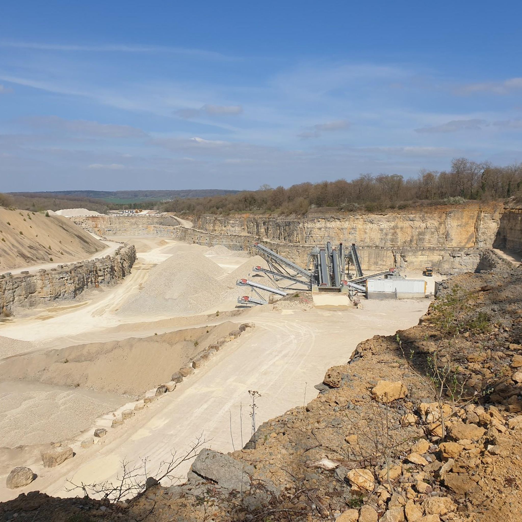
Hiking trails in Forêt Communale De Jainvillotte traverse a landscape characterized by ancient oak forests, valleys, and plateaus, with a maximum altitude of 350 meters. The region, part of the Darney-La Vôge "Forêt d'Exception®," features predominantly deciduous trees and rich biodiversity. Small streams and varied topography contribute to the natural environment.
Best hiking trails in Forêt Communale De Jainvillotte
- The most popular hiking route is Mirror Rock loop from Circourt-sur-Mouzon, a 4.4 miles (7.1 km) trail that takes 2…
Last updated: July 4, 2026
4.3
(3)
10
hikers
7.06km
02:07
220m
220m
Moderate hike. Good fitness required. Easily-accessible paths. Suitable for all skill levels.
5.0
(2)
8
hikers
Moderate hike. Good fitness required. Easily-accessible paths. Suitable for all skill levels.

Sign up for free
4.3
(3)
6
hikers
Moderate hike. Good fitness required. Easily-accessible paths. Suitable for all skill levels.
4.0
(1)
8
hikers
Moderate hike. Good fitness required. Easily-accessible paths. Suitable for all skill levels.
5.0
(4)
4
hikers
4.99km
01:17
30m
30m
Easy hike. Great for any fitness level. Easily-accessible paths. Suitable for all skill levels.
Get access to more routes and recommendations from other explorers.
Sign up for free
Already have an account?
Our route recommendations are based on thousands of hikes, rides, and runs completed by other people on komoot.
Start today with a free account
Your next adventure awaits.
Login or Signup


Tips from the Community

Beautiful spot by the river with a view of Harreville.
0
0
A metal cross has been attached to the base of an old stone cross.
0
0
Edmond Louis Antoine and Jules Alfred Huot de Goncourt were 19th-century French writers, who are considered the founders of the Naturalism movement. The most famous French literary prize, the Prix Goncourt, is associated with them.
0
0
With two large trash cans. Right next to them, you can easily get into the river to cool your feet.
0
0
Stable large stepping stones make crossing the river here easy.
0
0
This fountain, designed by architect J. Michaux, is adorned with a cast-iron sculpture of Jeanne d'Arc, a copy of the statue by Marie d’Orléans (1813–1839) from the Palace of Versailles. On either side of the main basin, two commemorative plaques bear the names of two municipal councilors: that of the 1870 council, which inaugurated the water supply from the Nota, and that of the 1874 council, when the fountain was first put into operation.
0
0
Beautiful mural on two adjoining houses. On one side of the house the national saint Joan of Arc, on the other the silhouette of the village Bazoilles-sur-Meuse.
0
0
The church in the center of the village is dedicated to Saint Martin. Originally built in the Middle Ages, it was rebuilt in the 15th century in the Rayonnant Gothic style, incorporating elements of the older church. Over the centuries (particularly in the 16th century), it was remodeled several times. From 1851 to 1853, the architect Abel Mathey designed a projecting bell tower in the Neo-Gothic style.
0
0
Frequently Asked Questions
How many hiking trails are available in Forêt Communale De Jainvillotte?
Forêt Communale De Jainvillotte offers a wide range of hiking opportunities, with over 70 distinct trails. These routes cater to various preferences, including easy walks and more challenging moderate paths.
What kind of terrain can I expect when hiking in Forêt Communale De Jainvillotte?
Hikers in Forêt Communale De Jainvillotte will encounter a diverse landscape. The area is characterized by ancient oak forests, some with trees over 400 years old, and a varied topography that includes valleys, plateaus, and small streams. While the maximum altitude doesn't exceed 350 meters, the terrain can transition from plains to areas with a 'mountain' feel.
Are there easy or family-friendly hiking options in the forest?
Yes, Forêt Communale De Jainvillotte is very welcoming for families and those seeking easier walks. Over 40 of the available trails are classified as easy, making them suitable for a relaxed outing. One family-friendly trail explores the plain north of Jainvillotte village, following an old road.
Can I hike with my dog in Forêt Communale De Jainvillotte?
Generally, dogs are welcome on trails in natural areas like Forêt Communale De Jainvillotte. However, it's always recommended to keep your dog on a leash, especially to protect local wildlife and ensure a pleasant experience for all hikers. Please be mindful of any specific local signage regarding pets.
Are there any notable natural features or landmarks to see while hiking?
Absolutely. The forest is part of the Darney-La Vôge "Forêt d'Exception®", renowned for its ancient oak trees. Within Jainvillotte, you can find the Croix de la Providence. The broader region also offers access to treasures like the Achiffet rocks and the Val-et-Châtillon waterfall, which can be reached via connecting trails.
Are there any circular hiking routes in Forêt Communale De Jainvillotte?
Yes, many of the trails in the area are designed as circular routes, allowing you to start and end at the same point. An example is the Mirror Rock loop from Circourt-sur-Mouzon, which is a popular 7.1 km trail.
What do other hikers say about their experience in Forêt Communale De Jainvillotte?
The hiking routes in Forêt Communale De Jainvillotte are highly regarded by the komoot community, with an average score of 4.4 stars from over 70 reviews. Hikers often praise the quiet woodlands, the beauty of the ancient oak forests, and the varied, yet accessible, terrain.
What is the best time of year to go hiking in Forêt Communale De Jainvillotte?
As a predominantly deciduous forest (79% broadleaf trees), Forêt Communale De Jainvillotte offers vibrant seasonal changes. Spring brings lush greenery, while autumn transforms the landscape with stunning colors, making both seasons excellent for hiking. Summer offers pleasant shade under the canopy, and even winter can be beautiful, though some paths might be muddy or icy.
Are there any longer, more challenging hikes available?
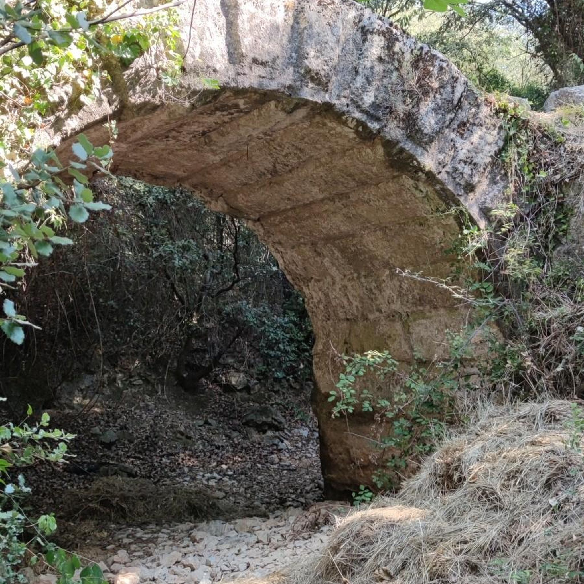
While many trails are easy to moderate, there are options for longer hikes. For instance, the Ford and stone bridge – Stone Bridge in Rollainville loop from Rollainville covers over 16 km and offers a moderate challenge with significant elevation changes.
How can I access the hiking trails, and is parking available?
Access to the trails typically involves driving to nearby villages or designated starting points. While specific parking information varies by trailhead, villages like Jainvillotte, Circourt-sur-Mouzon, Rebeuville, and Bazoilles-sur-Meuse often have local parking facilities available for visitors looking to explore the surrounding forest paths.
Are there any trails that follow rivers or offer waterside views?
Yes, some routes incorporate sections along local waterways. For example, the The Meuse at Bazoilles-sur-Meuse loop from Bazoilles-sur-Meuse leads through riverside landscapes, offering pleasant views along the Meuse river.
What is the highest point I might reach on a hike in this region?
The terrain in Forêt Communale De Jainvillotte features varied topography with valleys and plateaus, but the maximum altitude does not exceed 350 meters. This ensures that while there are elevation changes, the hikes remain accessible without reaching very high mountain peaks.
Most popular routes in Forêt Communale De Jainvillotte

Get inspired with the komoot mobile app


Explore more
Browse the best Hikes in other regions.
