The best walks and hikes in La Fuvelle
4.5
(1526)
12,527
hikers
412
hikes
Hiking in La Fuvelle, located within a beautiful forest near Pontarlier, offers a variety of trails. The region is characterized by its forested landscapes and proximity to water bodies like Lake Saint-Point, providing diverse hiking environments. Trails often feature moderate elevation changes, leading through woodlands and alongside lakes. This area provides opportunities for exploring both natural scenery and local points of interest.
Best hiking trails in La Fuvelle
- The most popular hiking route is The Blue Spring Loop, a…
Last updated: July 6, 2026
4.5
(95)
513
hikers
6.69km
01:59
190m
200m
Easy hike. Great for any fitness level. Easily-accessible paths. Suitable for all skill levels.
4.1
(10)
28
hikers
19.6km
05:35
440m
440m
Hard hike. Very good fitness required. Easily-accessible paths. Suitable for all skill levels.

Sign up for free
4.7
(46)
387
hikers
19.8km
05:20
260m
260m
Hard hike. Very good fitness required. Easily-accessible paths. Suitable for all skill levels.
4.6
(8)
63
hikers
11.8km
03:23
280m
280m
Moderate hike. Good fitness required. Easily-accessible paths. Suitable for all skill levels.
4.8
(16)
52
hikers
6.65km
01:55
170m
170m
Easy hike. Great for any fitness level. Easily-accessible paths. Suitable for all skill levels.
Get access to more routes and recommendations from other explorers.
Sign up for free
Already have an account?
Our route recommendations are based on thousands of hikes, rides, and runs completed by other people on komoot.
Start today with a free account
Your next adventure awaits.
Login or Signup

Tips from the Community


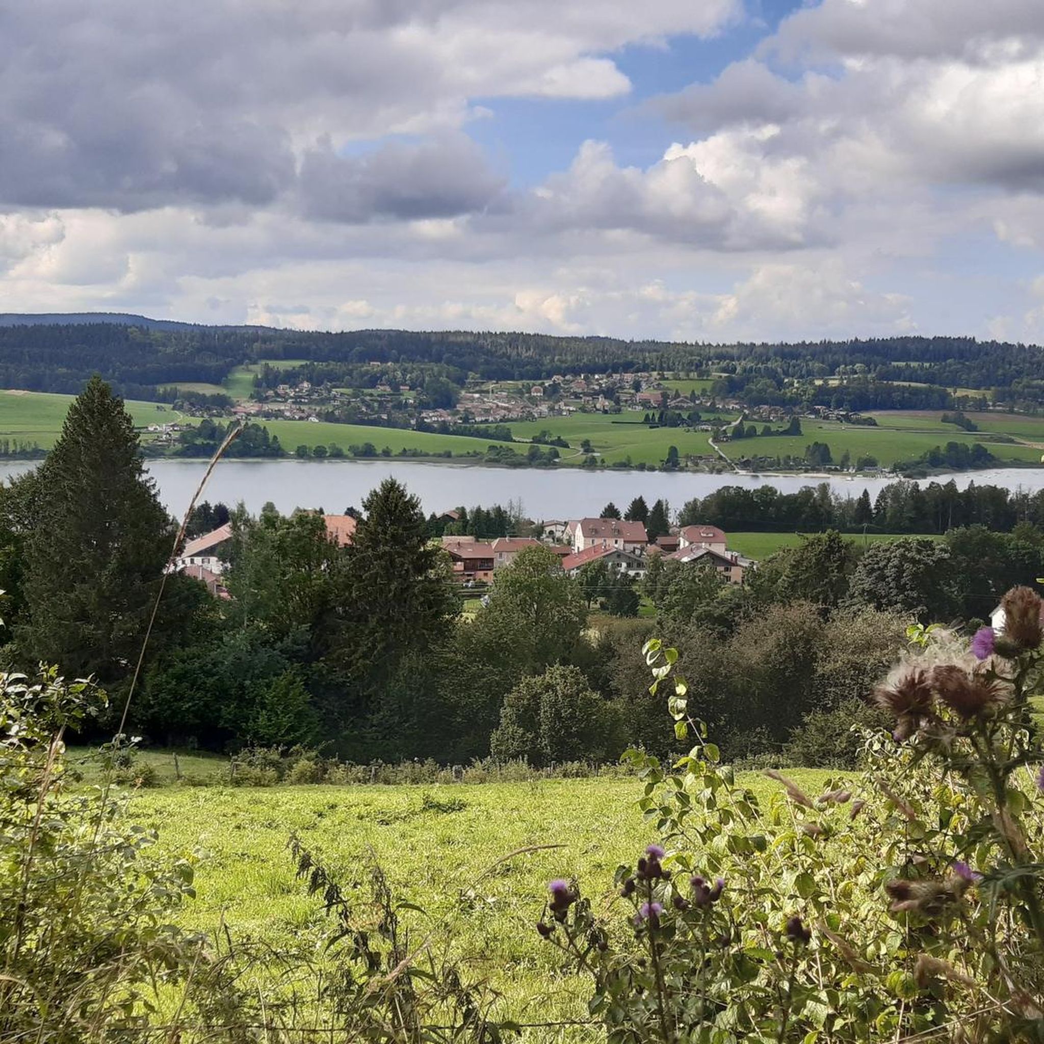
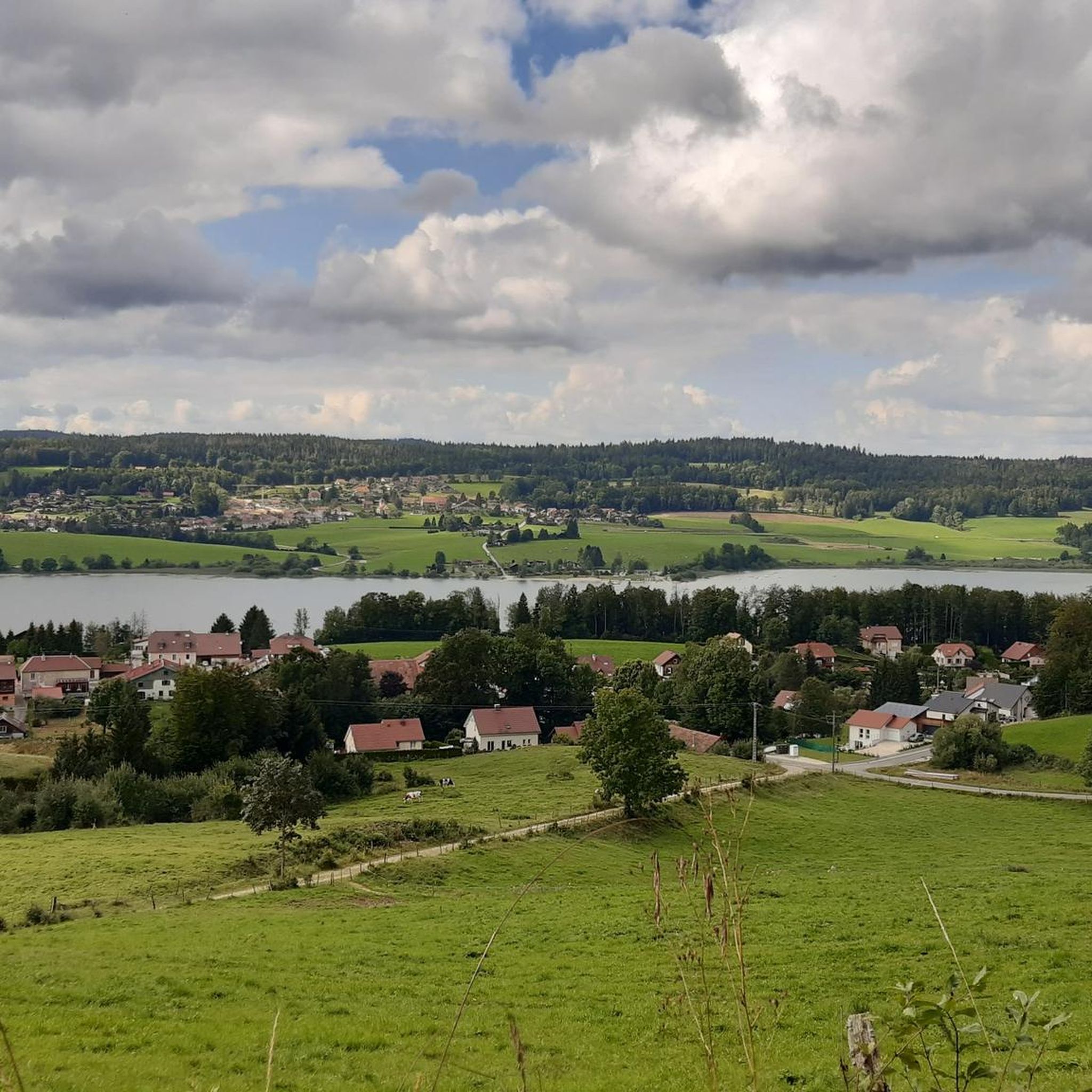
Unmissable site of Lac Saint Point with its houses on stilts
0
1

See the site: https://www.destination-haut-doubs.com/le-village-de-pecheurs-dans-le-haut-doubs.html
0
0

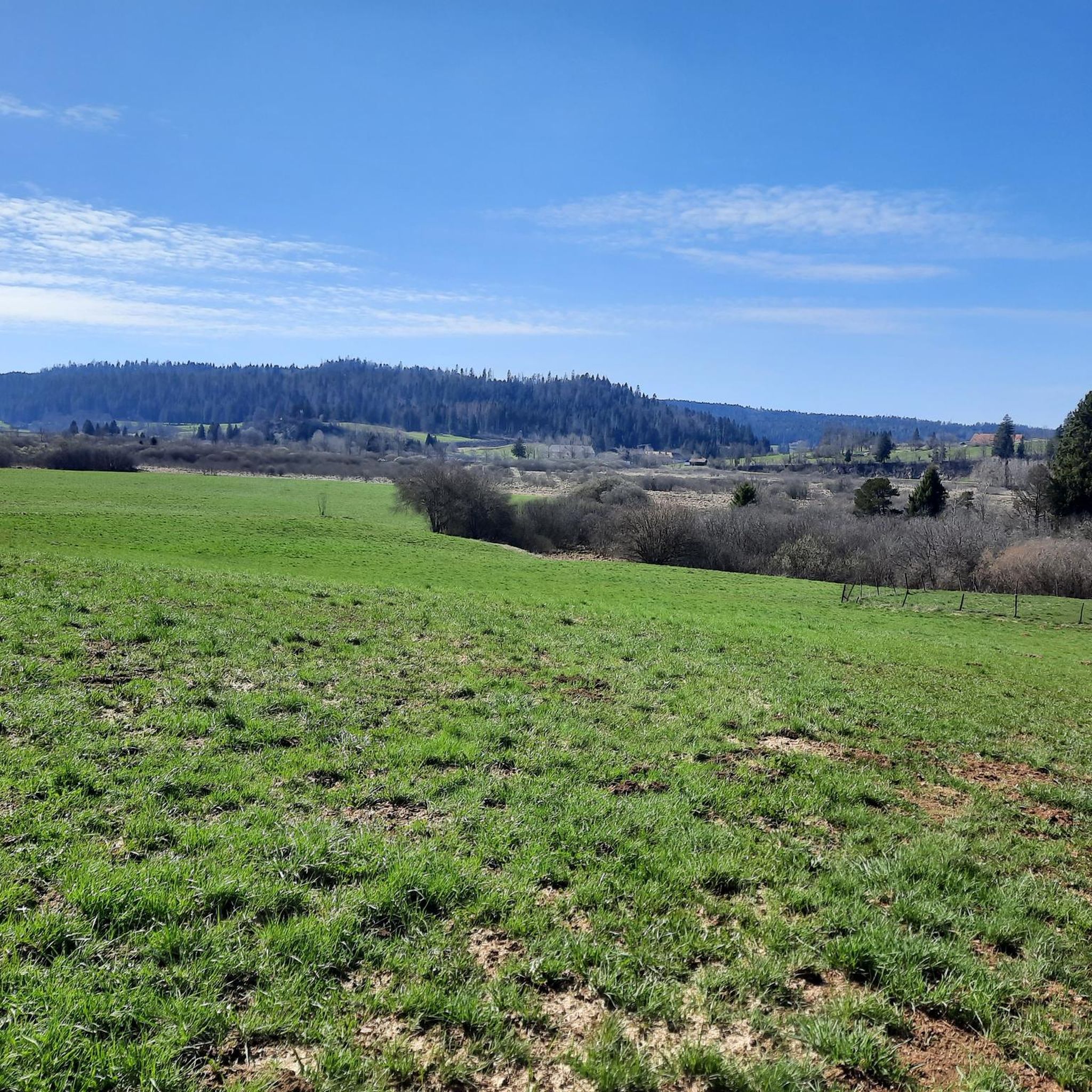
Very nice view of the Doubs marsh between the Lac de Remoray and the Lac de Saint-Point. In the background you can see the Grand Taureau mountain
5
0
Port Titi does not owe its name to the colourful boats on the blue water, but to Maurice Maire Sébille, also called "Titi", a pike fisherman who built the first fishing hut here in 1902.
7
0

What time is the best to be here when it's sunny?
0
0

This former military enclosure, which protected the Franco-Swiss border, has successfully undergone a successful conversion. The fort houses a Comté maturing cellar. If the production of this AOP has its secrets, the cellar can indeed be visited. I too have a secret for you: the visit ends with a Comté tasting. So, convinced?
0
0

Very nice view of the Doubs marsh between the Lac de Remoray and the Lac de Saint-Point. In the background you can see the Grand Taureau mountain
1
0
Frequently Asked Questions
How many hiking trails are available in La Fuvelle?
La Fuvelle offers a wide selection of hiking opportunities, with over 400 routes available. These range from easy strolls to more challenging full-day hikes, ensuring options for all skill levels.
Are there easy hiking trails suitable for families in La Fuvelle?
Yes, La Fuvelle has many family-friendly options. There are over 140 easy routes, often leading through woodlands and alongside Lake Saint-Point. A good example is The Blue Spring Loop, which explores a natural spring area and is generally easy to complete.
Can I bring my dog on the hiking trails in La Fuvelle?
Many trails in La Fuvelle are dog-friendly, allowing you to explore the forested landscapes and lake shores with your canine companion. However, it's always recommended to keep dogs on a leash, especially near wildlife or other hikers, and to check specific trail regulations before you go.
Are there any circular hiking routes in La Fuvelle?
Yes, circular routes are a popular way to experience La Fuvelle. For instance, the Sheltered Picnic Area – Lake Saint-Point loop from Malbuisson offers a scenic journey through forests and along the lake, bringing you back to your starting point.
What kind of landscapes can I expect to see while hiking in La Fuvelle?
La Fuvelle is characterized by its diverse and serene landscapes. You'll encounter dense woodlands, the tranquil shores of Lake Saint-Point, and varied terrain with moderate elevation changes. The region's natural beauty is reminiscent of areas with glacial and volcanic lakes, offering picturesque views and unique natural features.
Are there any historical or natural landmarks to explore along the trails?
Absolutely. Hiking in La Fuvelle often brings you close to notable landmarks. The Tour of Lake Saint-Point and Fort Saint-Antoine, for example, combines extensive lake views with a visit to a historic fort. The region also features natural springs, adding to the points of interest.
What is the best time of year to go hiking in La Fuvelle?
The best time to hike in La Fuvelle is generally from spring through autumn, when the weather is mild and the natural scenery is at its most vibrant. The forests are lush, and the lake shores are inviting. While winter hiking is possible, some trails may be challenging due to snow and ice, requiring appropriate gear.
Are there options for challenging hikes in La Fuvelle?
Yes, for experienced hikers seeking a challenge, La Fuvelle offers nearly 50 difficult routes. The Tour of Lake Saint-Point and Fort Saint-Antoine is a notable difficult path, covering almost 20 km with significant elevation changes, providing a rewarding full-day experience.
Where can I find parking for the hiking trails in La Fuvelle?
Parking is generally available at common starting points for trails, particularly around popular areas like Malbuisson and near Lake Saint-Point. It's advisable to check specific trailheads or local information for designated parking areas before your hike.
Are there places to eat or drink near the hiking trails?
Yes, towns and villages such as Malbuisson and Labergement Sainte-Marie, which are often starting points or pass-through areas for hikes, offer cafes, restaurants, and pubs where you can refresh and refuel after your outdoor adventures.
What do other hikers say about the trails in La Fuvelle?
The hiking trails in La Fuvelle are highly regarded by the komoot community, holding an average rating of 4.5 stars from over 1,400 reviews. Hikers frequently praise the quiet woodlands, the serene lake views, and the well-maintained paths that cater to various abilities.
Are there any specific natural reserves or unique ecosystems to visit?
While La Fuvelle itself is known for its forests and Lake Saint-Point, the broader region is characterized by unique natural features. Areas like the Sagnes de La Godivelle Nature Reserve, known for its wetland habitats and peat bogs, illustrate the kind of diverse ecosystems that can be found, hosting rare plant and animal species.
Can I hike in La Fuvelle during winter?
Winter hiking in La Fuvelle is possible and can offer a unique, tranquil experience amidst snow-covered landscapes. However, conditions can be challenging, with snow and ice on trails. It's essential to be well-prepared with appropriate winter hiking gear, including warm clothing, waterproof boots, and potentially snowshoes or microspikes for icy sections.
Most popular routes in La Fuvelle

Get inspired with the komoot mobile app


Explore more
Browse the best Hikes in other regions.
