The best road cycling routes in Hardwald
4.5
(2334)
46,909
riders
443
rides
Road cycling in Hardwald, located in Bezirk Bülach, features a landscape characterized by extensive forests and river paths. The region offers a mix of rolling terrain and dedicated cycle paths along waterways such as the Glatt River and Töss River. Elevations are generally moderate, making it suitable for various road cycling abilities. The area provides a natural setting for longer rides through varied scenery.
Best road cycling routes in Hardwald
- The most popular road cycling route is Tank Track –…
Last updated: July 8, 2026
4.6
(17)
346
riders
49.6km
02:13
330m
330m
Moderate road ride. Good fitness required. Some segments of this route may be unpaved and difficult to ride.
4.5
(16)
279
riders
65.2km
02:46
470m
470m
Moderate road ride. Good fitness required. Mostly well-paved surfaces and easy to ride.

Sign up for free
4.5
(2)
39
riders
67.6km
02:57
580m
580m
Moderate road ride. Good fitness required. Mostly well-paved surfaces and easy to ride.
48
riders
48.7km
02:03
340m
340m
Moderate road ride. Good fitness required. Mostly well-paved surfaces and easy to ride.
5.0
(3)
33
riders
55.8km
02:28
530m
530m
Moderate road ride. Good fitness required. Mostly well-paved surfaces and easy to ride.
Get access to more routes and recommendations from other explorers.
Sign up for free
Already have an account?
Our route recommendations are based on thousands of hikes, rides, and runs completed by other people on komoot.
Start today with a free account
Your next adventure awaits.
Login or Signup
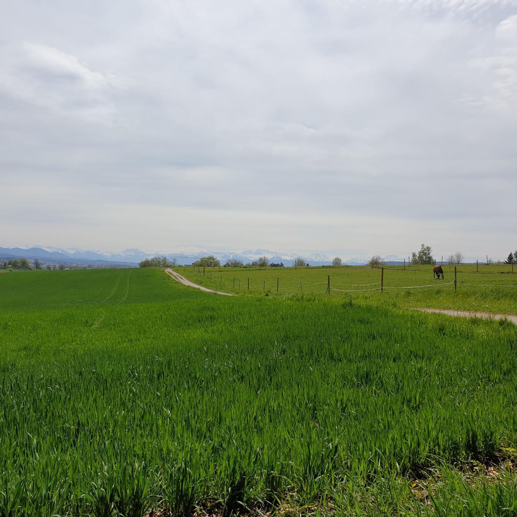
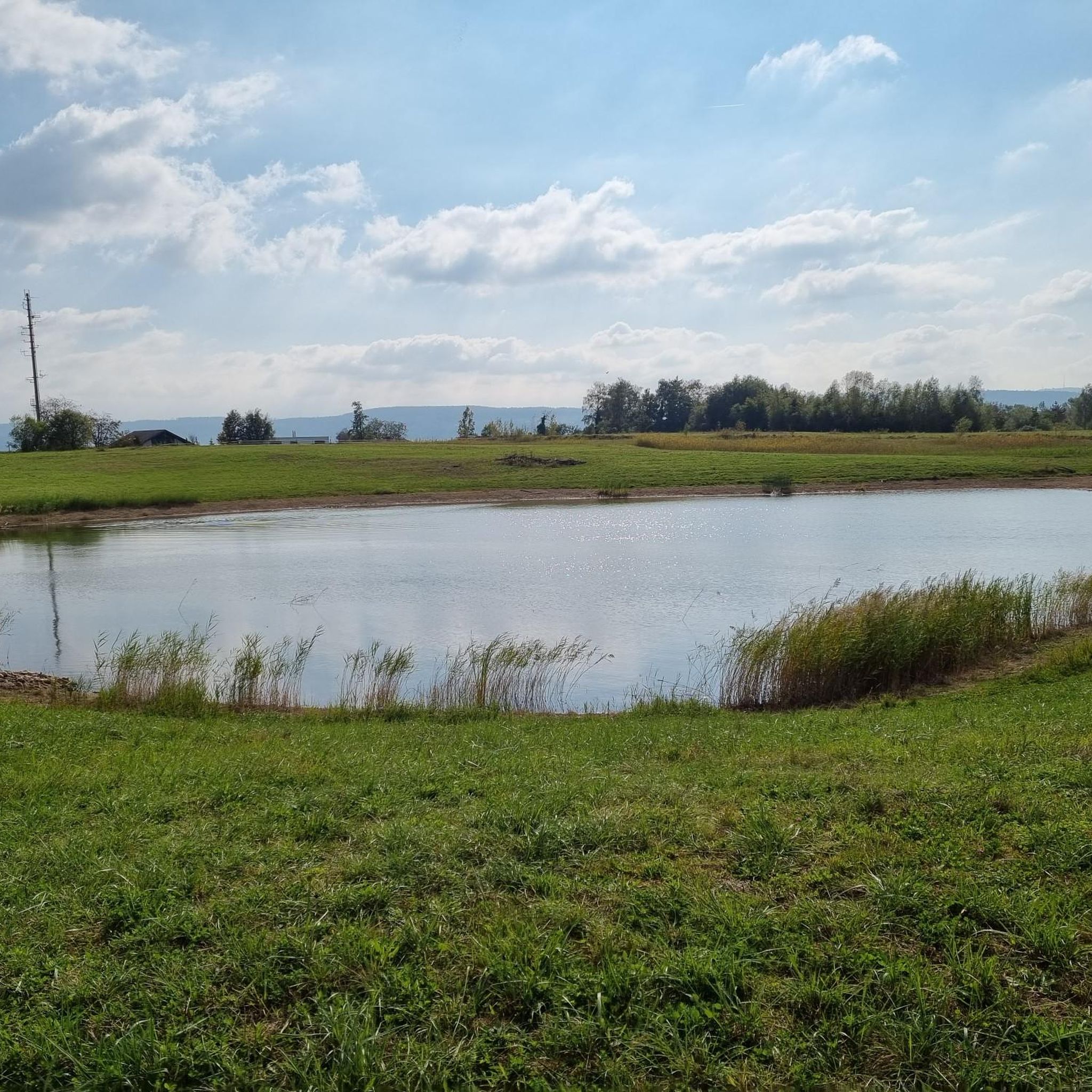
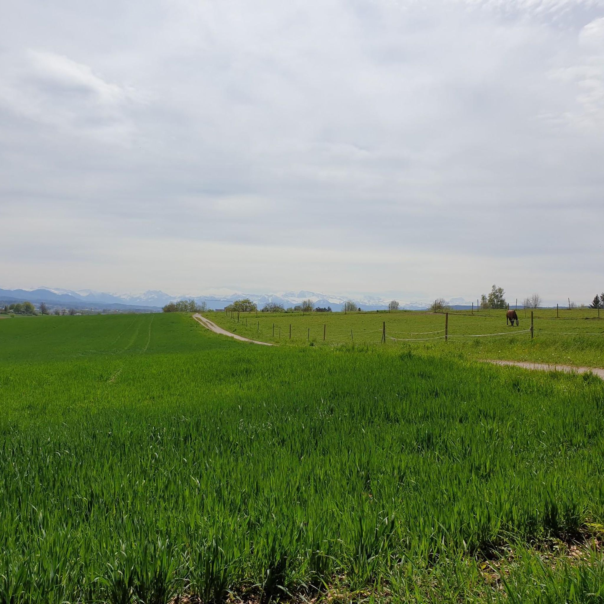
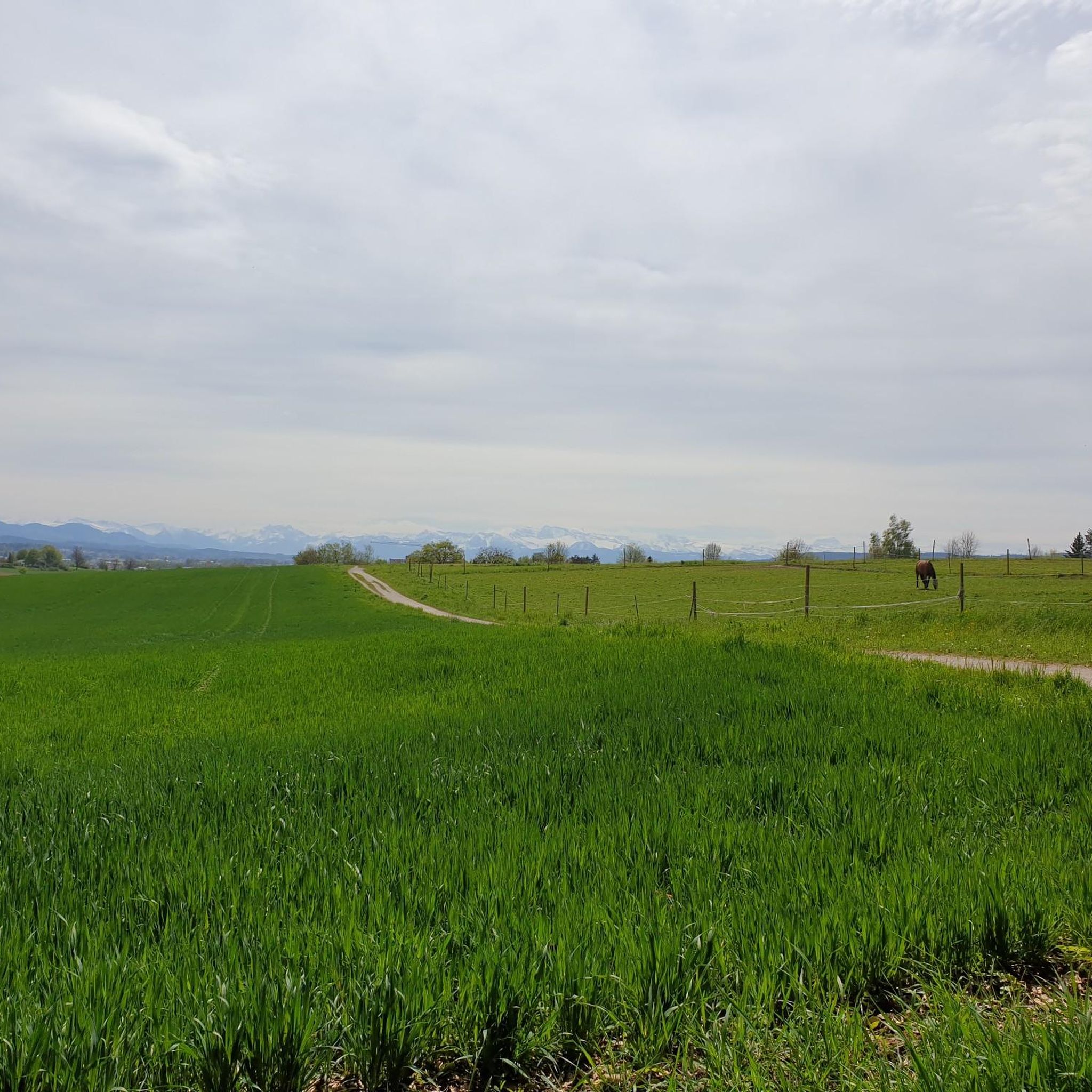
Tips from the Community


Long cycle path, often separated from the main road, up the entire Tösstal from Sennhof to Gibswil. Quite busy.
0
0

Great cycle path, super beautiful region
0
0

very nice cycle path with a great view
1
0
Very nice to look at, definitely recommended...
0
0
Looks interesting, I'll definitely have to check it out on my next tour...
1
0
100% Absolutely top route, very nice to drive
0
0
Great cycle path, super easy to ride, but definitely worth avoiding on weekends when the weather is nice...
0
0
Frequently Asked Questions
What is the general difficulty level of road cycling routes in Hardwald?
Hardwald offers a diverse range of road cycling routes. While the majority, around 247 out of 451, are classified as moderate, there are also 56 easy routes and 148 difficult routes available. This mix ensures options for various skill levels, from leisurely rides along river paths to more challenging excursions through the region's varied terrain.
Are there any family-friendly road cycling options in Hardwald?
Yes, Hardwald's landscape, characterized by extensive forests and dedicated cycle paths along rivers like the Glatt and Töss, makes it suitable for family-friendly road cycling. The moderate elevations mean many routes are accessible for families, especially those sticking to the well-maintained river paths. Look for routes classified as 'easy' for the most relaxed experience.
Where can I find parking for road cycling routes in Hardwald?
Many road cycling routes in Hardwald start from Kloten, which offers various parking facilities. Specific parking information is often detailed on individual route pages on komoot, so it's best to check the starting point of your chosen route for precise recommendations.
What kind of terrain can I expect on Hardwald road cycling routes?
Road cycling in Hardwald is defined by a mix of extensive forests, rolling terrain, and dedicated cycle paths along waterways such as the Glatt River and Töss River. You'll encounter varied scenery, from natural reserves like the Neeracherried to specific track sections, with generally moderate elevations.
Are there any circular road cycling routes in Hardwald?
Yes, Hardwald features many excellent circular road cycling routes. A popular example is the Tank Track – Glatt River Cycle Path loop from Kloten Balsberg, which covers nearly 50 km and combines track sections with riverside cycling. Another great option is the Glatt River Cycle Path – Neeracherried Nature Reserve loop from Kloten, offering extensive riding along the Glatt River.
What is the best time of year for road cycling in Hardwald?
The region is generally pleasant for road cycling from spring through autumn. The moderate elevations and well-maintained paths along rivers and through forests are enjoyable in milder weather. While some routes might be accessible in winter, it's always advisable to check local weather conditions and path accessibility, especially after snowfall or heavy rain.
What attractions or viewpoints can I see along the road cycling routes in Hardwald?
Hardwald offers several points of interest that can be incorporated into your rides. You might pass by the Hardwald Observation Tower for panoramic views, or the Wallisellen–Dietlikon–Opfikon–Wethikon Directional Signpost. The Vita Parcours Vibelunser, Hardwald is also nearby, offering a different kind of outdoor activity.
How many road cycling routes are available in Hardwald?
Hardwald boasts a comprehensive network of over 450 road cycling routes. This includes a wide variety of options, from easy and moderate paths suitable for casual rides to more challenging routes for experienced cyclists, ensuring there's something for every preference.
What do other road cyclists enjoy the most about road cycling in Hardwald?
The area is highly rated by the komoot community, with an average score of 4.5 stars from over 2,100 reviews. Reviewers often praise the region's varied terrain, the scenic river paths along the Glatt and Töss, and the extensive forest sections that provide a natural setting for longer rides. The well-maintained paths and the mix of moderate and challenging routes are also frequently highlighted.
Are there any longer road cycling routes for advanced riders?
Yes, Hardwald offers several longer routes suitable for advanced riders looking for a challenge. For instance, the Glatt River Cycle Path – Tank Track loop from Kloten spans 67.6 km with significant elevation gain, often completed in under three hours. Another option is the Töss River Bike Path – Töss River Cycle Path loop from Kloten, covering 55.8 km with over 500 meters of ascent.
Can I find routes that combine nature reserves with cycling paths?
Absolutely. Hardwald is known for its natural settings. The Glatt River Cycle Path – Neeracherried Nature Reserve loop from Kloten is a prime example, offering extensive riding along the Glatt River and directly through the beautiful Neeracherried Nature Reserve, providing a chance to experience the local wildlife and landscapes.
Most popular routes in Hardwald
Most popular attractions in Hardwald

Get inspired with the komoot mobile app


Explore more
Browse the best Road cycling routes in other regions.
