The best cycling routes in Germanswald
4.4
(4788)
24,105
riders
838
rides
Touring cycling in Germanswald offers diverse routes through a landscape characterized by extensive forests and rolling hills. The region features varied topography, including deep valleys and picturesque river valleys, which provide both challenging ascents and gentle, scenic paths. These natural features create an ideal setting for touring cyclists seeking routes away from vehicle traffic.
Best touring cycling routes in Germanswald
- The most popular touring cycling route is Barbecue spot on the Brigach – Groppertal cycling route loop from Tannenhöhe,…
Last updated: October 8, 2026
4.5
(18)
117
riders
19.6km
01:11
140m
140m
Easy bike ride. Great for any fitness level. Mostly paved surfaces. Suitable for all skill levels.
4.5
(10)
54
riders
15.7km
01:10
200m
200m
Moderate bike ride. Good fitness required. Mostly paved surfaces. Suitable for all skill levels.

4.5
(26)
119
riders
15.0km
00:59
150m
150m
Moderate bike ride. Good fitness required. Mostly paved surfaces. Suitable for all skill levels.
4.4
(17)
52
riders
21.0km
01:28
300m
300m
Moderate bike ride. Good fitness required. Mostly paved surfaces. Suitable for all skill levels.
4.5
(4)
38
riders
Moderate bike ride. Good fitness required. Mostly paved surfaces. Suitable for all skill levels.
Get access to more routes and recommendations from other explorers.
Already have an account?
Our route recommendations are based on thousands of hikes, rides, and runs completed by other people on komoot.
Start today with a free account
Your next adventure awaits.
Other adventures in Germanswald

Tips from the Community

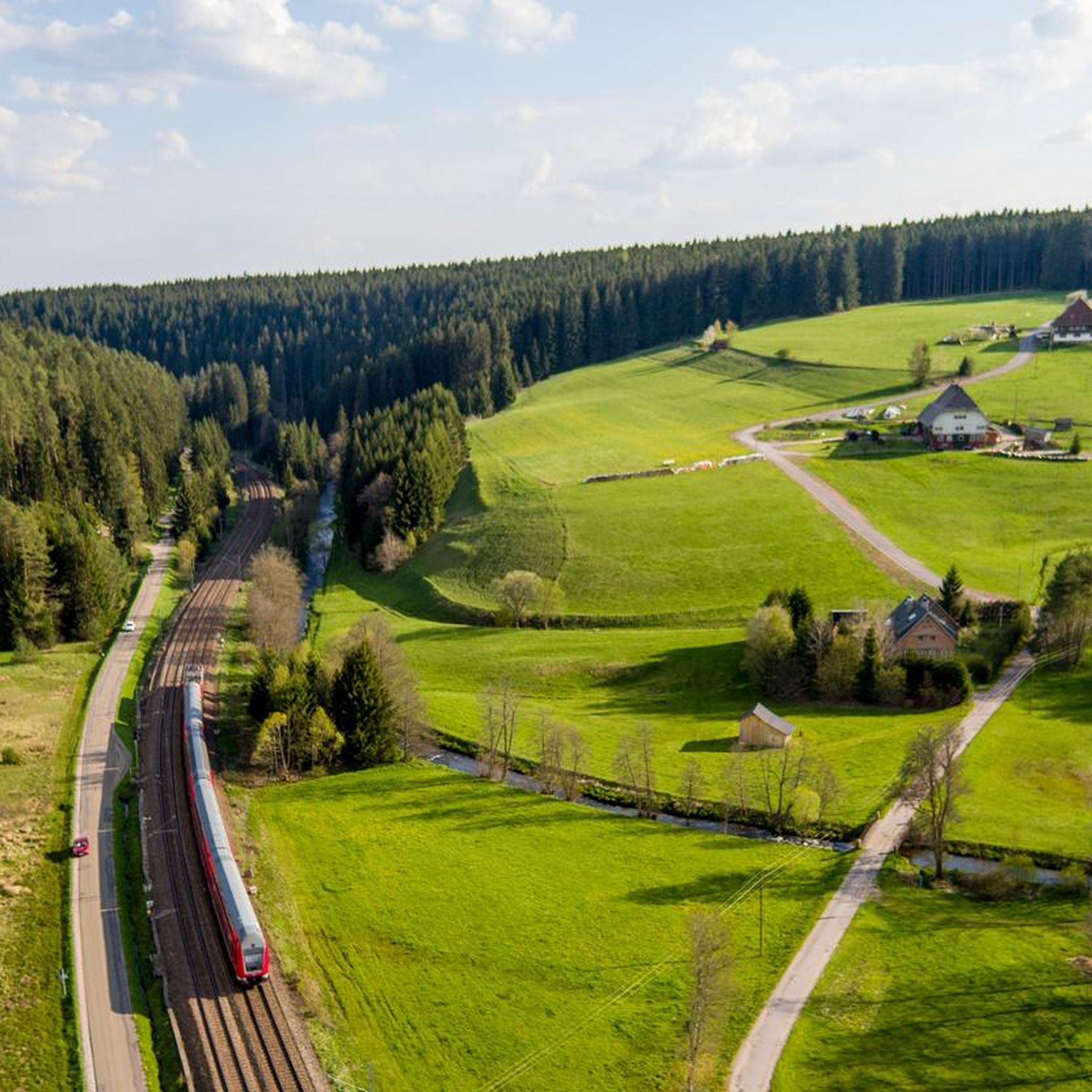
beautiful cycle path along the railway with an "Eishäusle" (small ice/ice cream stand)
0
0

The old town of Villingen is still very well preserved within the city walls and worth seeing! Particularly noteworthy are the Franziskaner and the Münster, around which the weekly market takes place every Wednesday and Saturday morning.
0
0

One of the well-preserved historic gates of Villingen's impressive medieval town walls. Riding through the old gate into the pedestrian zone gives you an instant feel for the city's rich history.
0
0

Under the railway through
0
0

It's recommended to download the route offline to your phone beforehand, or to have an analog copy with you in case you want to double-check if you've taken a wrong turn. We had no cell reception for long stretches along the way.
0
0

A very nice farm shop with excellent quality fruit and vegetables from the Lake Constance region. Shopping there is a real pleasure, especially because of the super-reasonable prices.
1
0
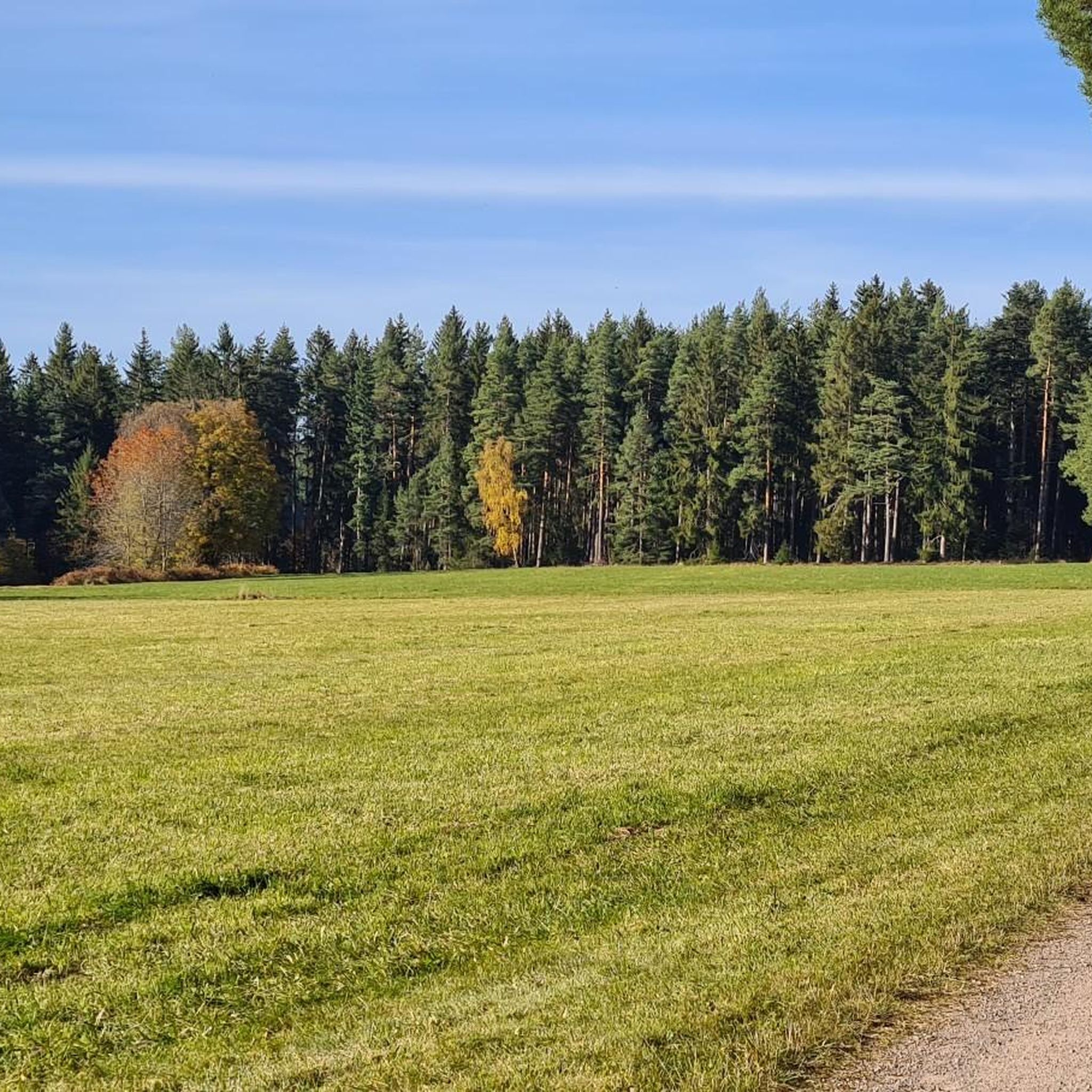
Beautiful mossy forest paths, especially in the first half of the trail through the Germanswald forest. The route is very well signposted for the most part, but in some places, in my opinion, the signage is not ideally placed, so it's easy to take a wrong turn.
1
0

Great eggs. Chickens are raised in a completely humane manner. You can also rent chickens for a few weeks from Borg'n Huhn.
1
0
Frequently Asked Questions
What kind of terrain can I expect when touring cycling in Germanswald?
Germanswald is characterized by extensive forests and rolling hills, offering a diverse landscape for touring cyclists. You'll find varied topography, including deep valleys and picturesque river valleys. This provides a mix of challenging ascents and gentle, scenic paths, often away from vehicle traffic. Many routes follow idyllic river valleys, which are typically flatter and perfect for relaxed touring.
How many touring cycling routes are available in Germanswald?
There are over 860 touring cycling routes available in Germanswald. These routes cater to various skill levels, with approximately 220 easy routes, over 400 moderate routes, and around 230 difficult routes, ensuring options for every cyclist.
Are there any easy touring cycling routes suitable for beginners or families?
Yes, Germanswald offers numerous easy routes perfect for beginners or families. An excellent option is the Barbecue spot on the Brigach – Groppertal cycling route loop from Tannenhöhe, which is 11.6 miles (18.6 km) long and follows the scenic Brigach and Groppertal rivers. Another easy choice is the Kirnach Cycle Path – Romäus Spring loop from Unterkirnach, a 9.4 miles (15.1 km) trail through the Kirnach valley.
What are some moderate touring cycling routes in Germanswald?
For those seeking a moderate challenge, Germanswald has many options. The Brigachtal Cycle Path – Romäus Tower loop from Mönchweiler is a popular moderate route, spanning 25.3 miles (40.7 km) and combining dedicated cycle paths with views of the Romäus Tower. Another great choice is the Romäus Spring – Inn Zum Auerhahn loop from Unterkirnach, which is 13.1 miles (21 km) long with some notable elevation gain.
What kind of attractions can I discover along the cycling routes in Germanswald?
Along the cycling routes in Germanswald, you can explore a variety of natural and historical attractions. Highlights include the unique rock formations like Uhustein and Uhufelsen (Owl Rock). You might also encounter the tranquil Mönchsee, the historic Römerweg Stone Path, or the Wildlife enclosure at Forsthaus Salvest.
Are there any circular touring cycling routes in Germanswald?
Yes, many touring cycling routes in Germanswald are designed as loops, allowing you to start and end at the same point. Examples include the Groppertal cycling route – Brigach Riverside Trail loop from Wannendobel, which is a moderate 14.3 miles (23 km) ride, and the Barbecue spot on the Brigach – Groppertal cycling route loop from Tannenhöhe.
What do other cyclists say about touring cycling in Germanswald?
The touring cycling experience in Germanswald is highly regarded by the komoot community, with an average rating of 4.5 stars from over 3,500 reviews. Cyclists often praise the region's dense forests, rolling hills, and idyllic river valleys, as well as the well-maintained network of paths that offer options for all ability levels.
Is Germanswald suitable for e-biking?
Yes, Germanswald is well-suited for e-biking. The varied topography, with its rolling hills and occasional challenging ascents, makes e-bikes a popular choice, allowing cyclists of all fitness levels to comfortably enjoy longer routes and explore more of the region's natural beauty. While specific charging stations aren't detailed, many German regions are increasingly offering them.
What is the best time of year for touring cycling in Germanswald?
The best time for touring cycling in Germanswald generally aligns with the warmer months, from spring through early autumn (April to October). During this period, the weather is typically mild, and the forests are lush, providing shaded routes. While winter cycling is possible, some paths might be less accessible or require specific equipment due to snow or ice.
Are there bike-friendly amenities available in Germanswald?
While specific details for 'Germanswald' are not provided, German forested regions generally offer excellent bike-friendly amenities. This often includes well-developed cycle paths, bike hire stations, workshops, repair points, and 'Bed & Bike' certified accommodations that cater specifically to cyclists. You can expect a good infrastructure to support your touring cycling adventure.
Can I find places to eat or stay near the cycling routes?
Yes, cycling routes in German forested regions often pass through charming villages and towns where you can find cafes, pubs, and various accommodation options. While specific establishments for Germanswald aren't listed, you can typically expect opportunities to refuel and rest along or near the popular routes, especially in the larger settlements.
How can I find parking or public transport options to access the Germanswald cycling routes?
Accessing cycling routes in German forested areas is generally convenient. Many trailheads and popular starting points offer designated parking facilities. For public transport, regional train and bus services often connect to towns and villages near cycling routes. It's advisable to check local transport schedules and parking availability for your specific starting point before your trip, as services can vary.
Most popular routes in Germanswald
Most popular attractions in Germanswald

Get inspired with the komoot mobile app


Explore more
Browse the best Cycling routes in other regions.
