The best road cycling routes in Perlacher Forst
4.5
(9571)
129,617
riders
988
rides
Road cycling routes in Perlacher Forst traverse a landscape primarily characterized by dense woodlands and well-maintained paths. The region offers a mix of flat sections and gentle undulations, suitable for various road cycling experiences. Riders can expect to encounter open fields and forested areas, providing a diverse environment for longer rides or shorter loops. The terrain is generally accessible, making it a popular destination for road cyclists in the Munich area.
Best road cycling routes in Perlacher Forst
- The most…
Last updated: October 18, 2026
4.6
(73)
1,882
riders
143km
06:22
1,310m
1,310m
Hard road ride. Very good fitness required. Mostly well-paved surfaces and easy to ride.
4.5
(11)
220
riders
Moderate road ride. Good fitness required. Mostly well-paved surfaces and easy to ride.

4.6
(29)
268
riders
Easy road ride. Great for any fitness level. Mostly well-paved surfaces and easy to ride.
4.5
(14)
254
riders
Moderate road ride. Good fitness required. Mostly well-paved surfaces and easy to ride.
4.7
(40)
176
riders
23.7km
01:03
170m
170m
Easy road ride. Great for any fitness level. Mostly well-paved surfaces and easy to ride.
Get access to more routes and recommendations from other explorers.
Already have an account?
Our route recommendations are based on thousands of hikes, rides, and runs completed by other people on komoot.
Start today with a free account
Your next adventure awaits.



Tips from the Community

Beautiful cycle path on the high bank of the Isar
1
0

Beautiful fields and hills. Like a picture book.
0
0

This is a combined foot and cycle path, but it is so wide that there are no conflicts.
0
0
Pleasant cycle path to get from Höllriegelskreuth to Pullach (or vice versa).
0
0

Beautiful quiet cycle path. Offers shade and is excellent for drafting.
0
1

Incredibly nice to ride
0
0
Great trail through the forest away from the highways
1
0
Beautiful path through the Perlacher Forst
1
0
Frequently Asked Questions
What are the difficulty levels of road cycling routes in Perlacher Forst?
Perlacher Forst offers a wide range of road cycling routes suitable for various skill levels. You'll find over 220 easy routes, more than 620 moderate routes, and nearly 100 difficult routes, ensuring options for beginners to experienced cyclists.
Are there beginner-friendly road cycling routes in Perlacher Forst?
Yes, Perlacher Forst has numerous beginner-friendly options. An excellent choice is the Forest Cycle Path Near Munich – Perlacher Forst Bike Path loop from Furth, which is an easy 14.7-mile (23.6 km) trail through dense woodlands, typically completed in under an hour.
Are there challenging road cycling routes for experienced riders?
For experienced road cyclists seeking a challenge, the region offers routes with significant elevation gain. Consider the Valepp Valley Scenic Road – Valepp Scenic Road loop from Mangfallplatz, a difficult 87.9-mile (141.5 km) trail with over 1,300 meters of ascent.
How can I access the Perlacher Forst road cycling routes by public transport?
Many routes in Perlacher Forst are easily accessible via public transport. Several popular starting points, such as Mangfallplatz, are well-connected to Munich's U-Bahn network, allowing for convenient access without a car.
Where can I park when road cycling in Perlacher Forst?
Parking is generally available at various entry points around Perlacher Forst. Look for designated parking areas near popular access points or consider starting your ride from areas like Mangfallplatz, which offers public transport connections if you prefer not to drive directly to the forest.
What is the best time of year for road cycling in Perlacher Forst?
The best time for road cycling in Perlacher Forst is typically from spring through autumn (April to October). During these months, the weather is generally mild, and the forest paths are in optimal condition. Winter cycling is possible, but conditions can be challenging due to snow or ice.
What can I see along the road cycling routes in Perlacher Forst?
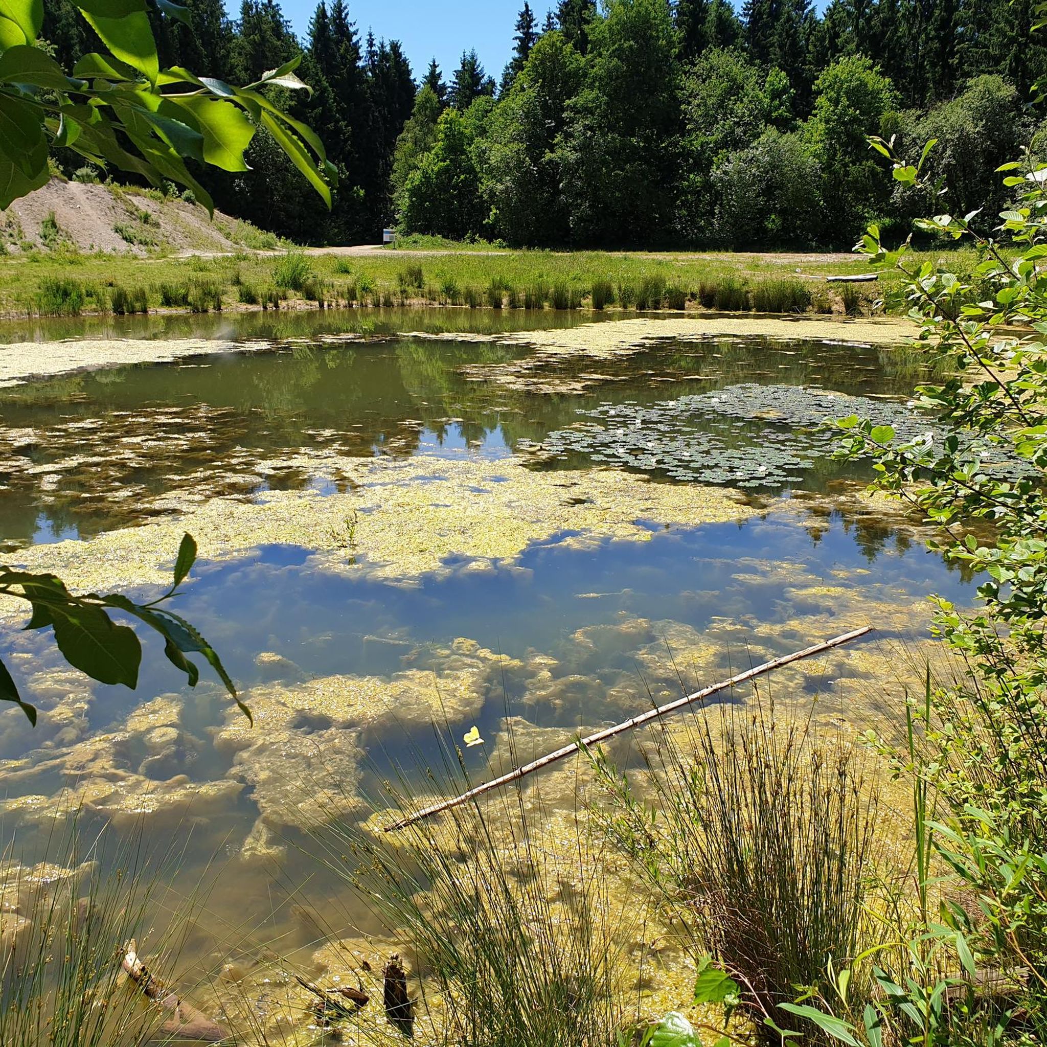
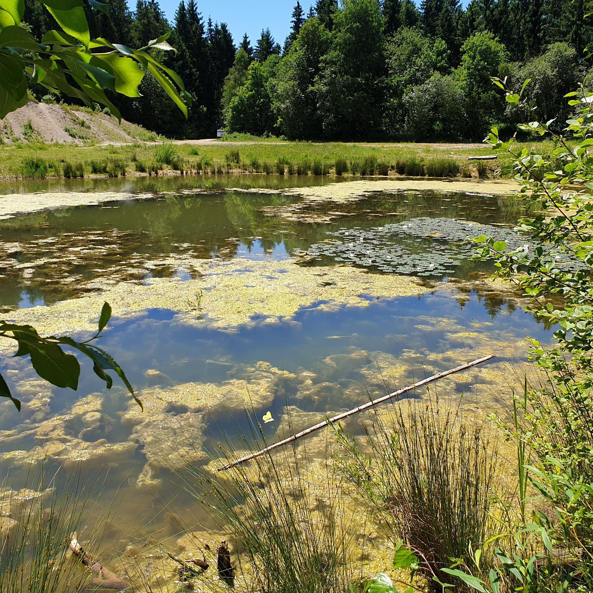
Along the routes, you can enjoy the natural beauty of the forest and discover various points of interest. Notable attractions include the View of the Alps from Perlacher Mugl, the historic Hirschbrunnen and Overflow Pond, and the serene Arelat Pond. You might also pass by the Kugler Alm, a popular spot for refreshments.
Are there any cafes or places to stop for refreshments along the routes?
Yes, there are places to stop for refreshments. The Kugler Alm is a well-known establishment within or near Perlacher Forst, offering a convenient stop for cyclists to refuel and relax during their ride.
What do other road cyclists enjoy the most about road cycling in Perlacher Forst?
The komoot community highly rates road cycling in Perlacher Forst, with an average score of 4.5 stars from over 7,500 reviews. Cyclists often praise the well-maintained paths, the diverse mix of dense woodlands and open fields, and the variety of routes suitable for all abilities.
Are there any specific cycle paths or expressways for road bikes?
Yes, Perlacher Forst features dedicated cycle paths and sections suitable for road bikes. The Perlacher Forest Expressway and the Paved bike path between Munich and Deisenhofen are examples of routes designed for smooth road cycling.
Can I find moderate-length road cycling loops in the area?
Absolutely. For a moderate-length loop, consider the Perlacher Forest Expressway – Deisenhofen railway line loop from Mangfallplatz. This 44.3-mile (71.4 km) route combines forest paths with more open sections and typically takes around 2 hours 51 minutes to complete.
Are there routes that offer views of the Alps?
Yes, certain viewpoints within Perlacher Forst offer glimpses of the Alps on clear days. The View of the Alps from Perlacher Mugl is a notable spot where you might enjoy distant mountain vistas.
Most popular routes in Perlacher Forst
Most popular attractions in Perlacher Forst

Get inspired with the komoot mobile app


Explore more
Browse the best Road cycling routes in other regions.
