The best walks and hikes in Findenauer Wald
4.5
(21729)
100,986
hikers
836
hikes
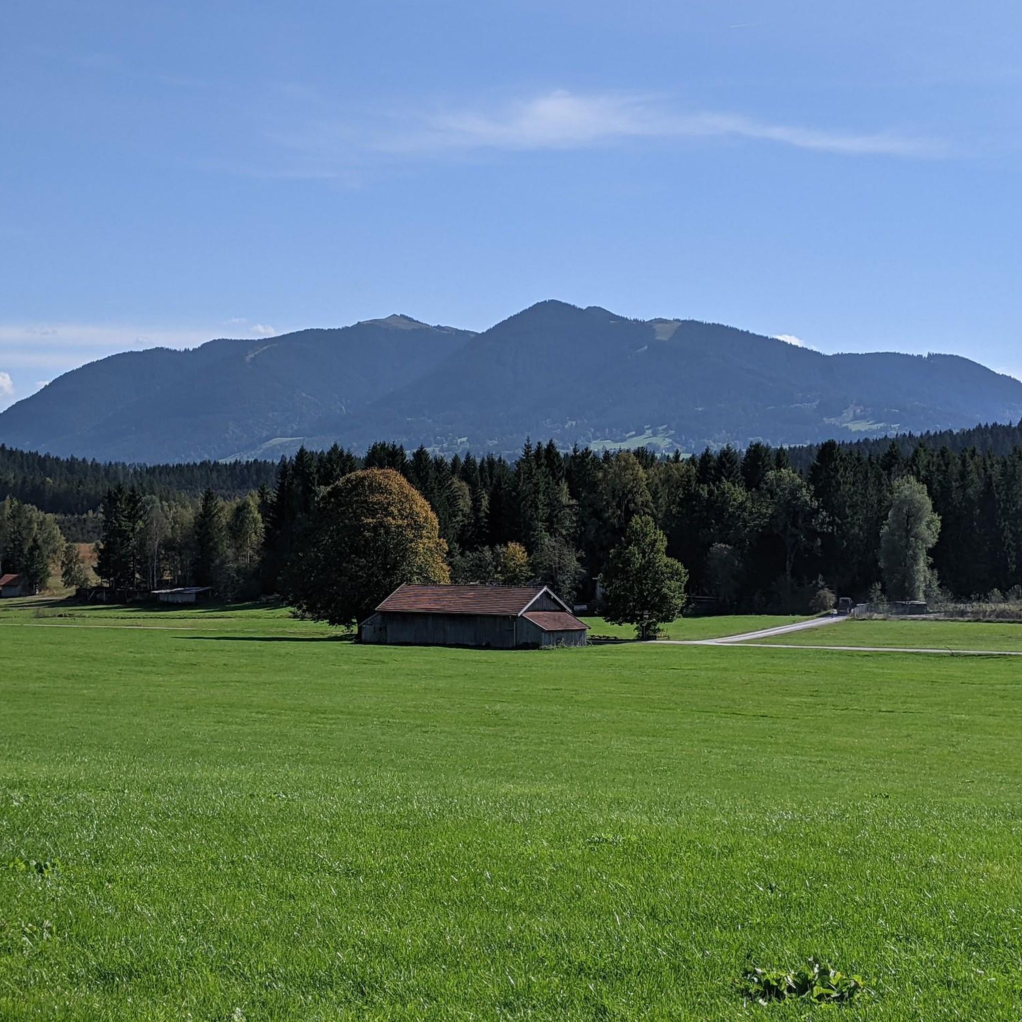
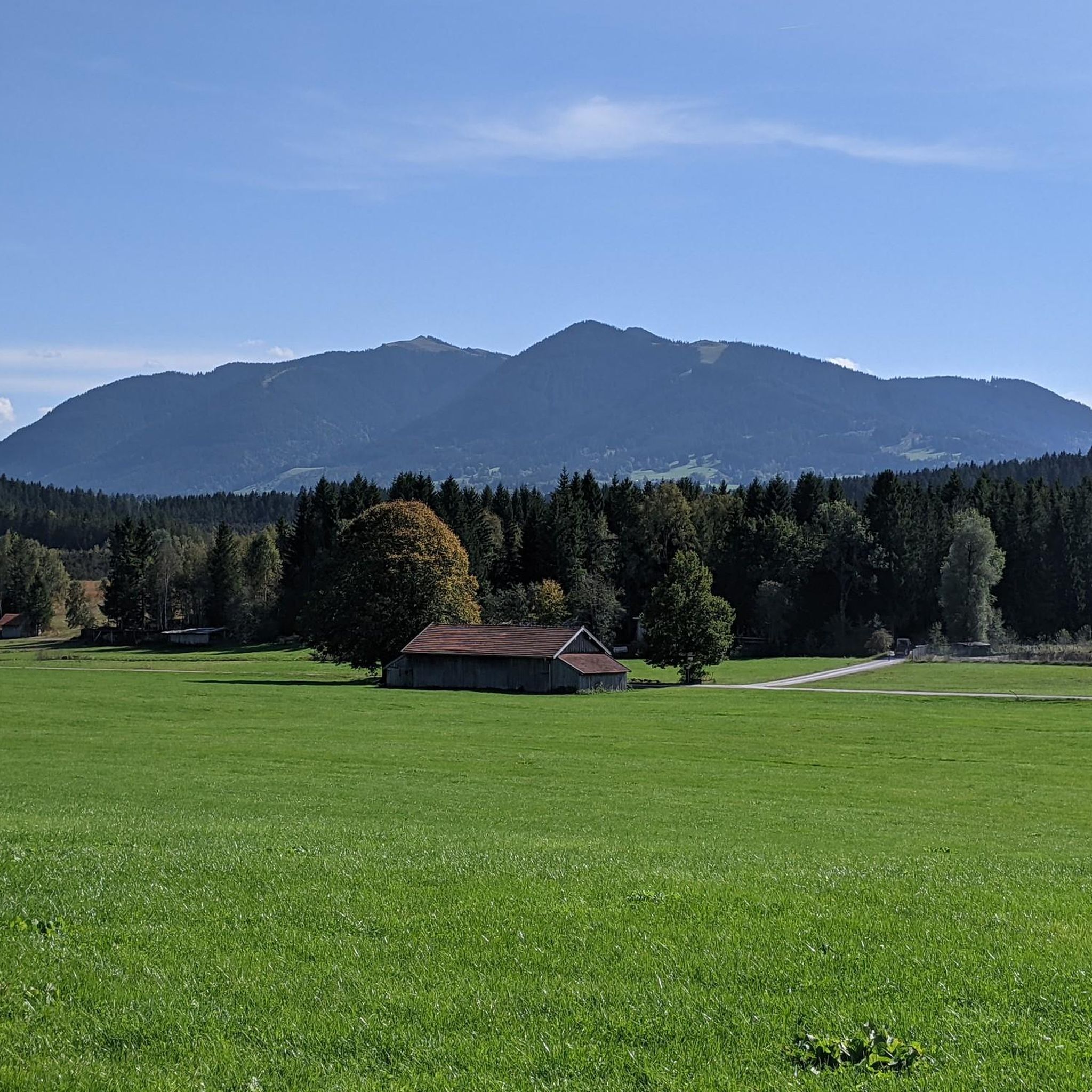
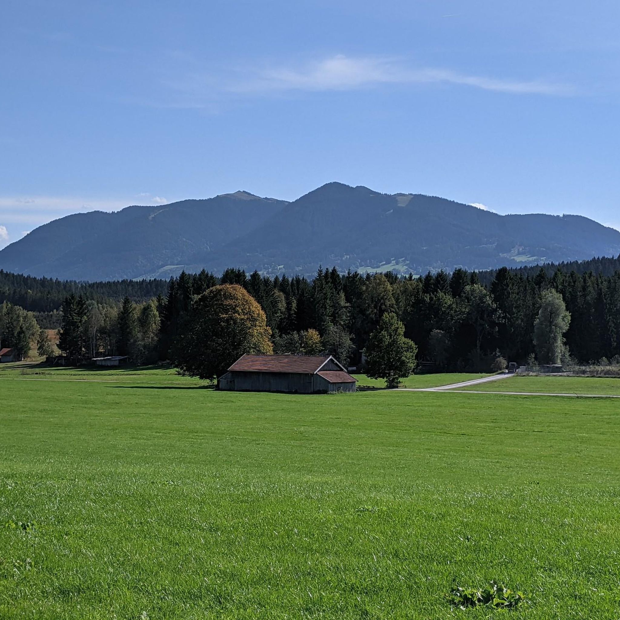
Hiking trails in Findenauer Wald traverse a landscape characterized by dense forests, alpine valleys, and the foothills of prominent mountain ranges like the Karwendel and Wetterstein. The region, located in Landkreis Garmisch-Partenkirchen, features a network of trails leading past pristine lakes such as Lautersee and Ferchensee. Hikers can explore varied terrain, from gentle forest paths to more challenging ascents.
Best hiking trails in Findenauer Wald
- The most popular hiking route is Hörnle Hut – Middle Hörnle loop from Bad Kohlgrub…
Last updated: October 11, 2026
4.7
(105)
434
hikers
13.3km
03:31
130m
130m
Moderate hike. Good fitness required. Easily-accessible paths. Suitable for all skill levels.
4.6
(257)
1,533
hikers
10.6km
04:16
610m
610m
Moderate hike. Good fitness required. Mostly accessible paths. Sure-footedness required.

4.8
(47)
153
hikers
12.0km
03:24
260m
260m
Moderate hike. Good fitness required. Easily-accessible paths. Suitable for all skill levels.
4.9
(24)
82
hikers
7.41km
02:16
270m
270m
Moderate hike. Good fitness required. Easily-accessible paths. Suitable for all skill levels.
4.8
(15)
35
hikers
6.45km
01:57
210m
210m
Easy hike. Great for any fitness level. Easily-accessible paths. Suitable for all skill levels.
Get access to more routes and recommendations from other explorers.
Already have an account?
Our route recommendations are based on thousands of hikes, rides, and runs completed by other people on komoot.
Start today with a free account
Your next adventure awaits.

Tips from the Community

A somewhat bizarre area on the lake shore with a jumble of disused items.
1
0

The loop is currently perfect because the Hörnlebahn is not running due to renovation work. So it's not overcrowded there (as of July 2026)
0
0

Tour for children
0
0

You can observe the animals nicely and play checkers made of wood on the side
1
0

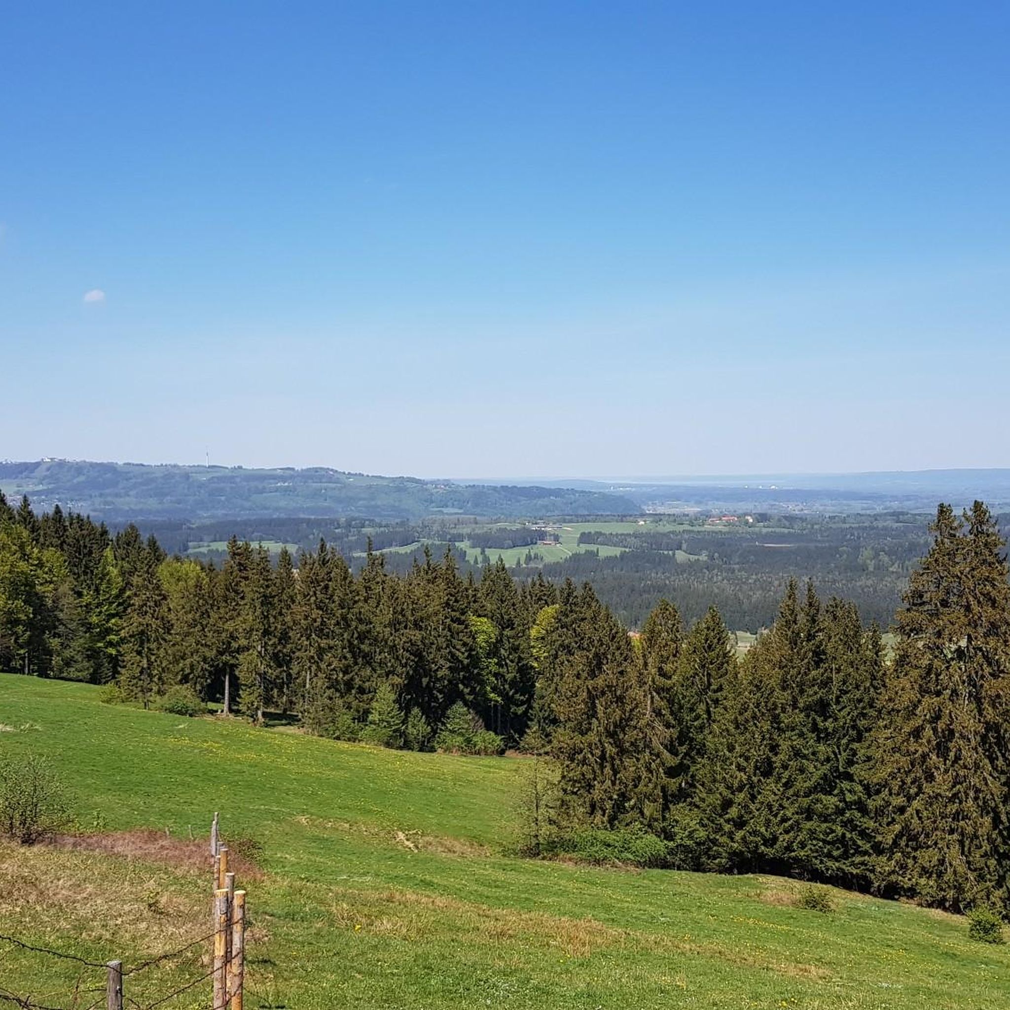
The Hörnle consists of three peaks: Vorderes Hörnle (1484 m), Mittleres Hörnle (1496 m), and Hinteres Hörnle (1548 m). The Hörnle is an attractive hiking destination that can be reached on foot or by cable car. The three peaks of the Hörnle offer beautiful viewpoints to the Tannheimer Mountains, the Wetterstein and Karwendel, as well as to the Alpine foothills with Ammersee, Starnberger See, and Staffelsee, despite their relatively low altitude. The Vordere Hörnle (1,484 m), Mittlere Hörnle (1,496 m), and Hintere Hörnle (1,548 m) are each about a 30-minute walk from each other and are excellently suited for a circular tour with a stop at the Hörndlhütte in both summer and winter.
6
1

It feels so fun to sit inside and watch 🐮
0
0

There are these islands of peace all along the circular route.
0
0

Normal hiking equipment is sufficient
2
0
Frequently Asked Questions
How many hiking trails are available in Findenauer Wald?
Findenauer Wald offers an extensive network of over 800 hiking trails. These routes cater to various fitness levels, with approximately 350 easy, 370 moderate, and 80 challenging options available for exploration.
What kind of terrain and landscapes can I expect to see while hiking in Findenauer Wald?
Hikers in Findenauer Wald will encounter diverse landscapes, including dense forests, alpine valleys, and the foothills of prominent mountain ranges like the Karwendel and Wetterstein. The region also features picturesque lakes such as Lautersee and Ferchensee, as well as impressive mountain meadows and, in some areas, dramatic gorges.
Are there any family-friendly hiking trails in Findenauer Wald?
Yes, Findenauer Wald has numerous easy trails suitable for families. Many paths are well-maintained and offer gentle gradients, perfect for walks with children. For example, the Bromberg Alm – Hunter’s Monument Sonnenbichl loop from Bromberg is an easy 5.2 km route that can be a good option for a family outing.
Can I bring my dog on the hiking trails in Findenauer Wald?
Generally, dogs are welcome on most hiking trails in Findenauer Wald. However, it's always advisable to keep them on a leash, especially in nature protection areas or when passing through pastures with livestock. Ensure you carry water for your dog and clean up after them.
Are there circular hiking routes available in Findenauer Wald?
Yes, many of the trails in Findenauer Wald are designed as circular routes, allowing you to start and end at the same point. A popular moderate circular route is the Hunter’s Monument Sonnenbichl – Bromberg Alm loop from Schöffau, which covers 7.4 km.
What natural features or landmarks can I discover along the trails?
Findenauer Wald offers several interesting natural features and landmarks. You can explore the Geizenmoos Trail, visit the historic Kirmesau Chapel, or see the Ford and Footbridge Over the Ach. The Hunter’s Monument Sonnenbichl is another notable point of interest.
When is the best time of year to go hiking in Findenauer Wald?
The best time for hiking in Findenauer Wald is typically from late spring to early autumn (May to October), when the weather is mild and trails are clear. However, the region also offers extensive networks of rolled or cleared winter hiking trails, as well as opportunities for snowshoe tours, making it a year-round destination for outdoor enthusiasts.
Are there mountain huts or places to get refreshments along the hiking routes?
Yes, the region around Findenauer Wald features mountain huts that provide opportunities for rest and refreshment. While specific huts directly within Findenauer Wald may vary, the broader Bavarian Alps area, which includes this region, is known for its welcoming huts like the Brunnsteinhütte near Mittenwald, offering food and drinks.
What do other hikers enjoy most about Findenauer Wald?
The hiking trails in Findenauer Wald are highly rated by the komoot community, with an average score of 4.6 stars from over 18,900 reviews. Hikers frequently praise the region's diverse terrain, from serene forest paths to routes offering expansive alpine views, and the well-maintained network of trails suitable for all levels.
Are there any hikes that feature lakes or water views?
Absolutely. Findenauer Wald is characterized by its proximity to pristine lakes. Many routes lead past beautiful bodies of water such as Lautersee and Ferchensee, offering scenic views and tranquil spots for a break. The Dock With View of Hörnle – Soier Lake loop from Bad Kohlgrub Kurhaus is an excellent example of a trail that includes a lake.
How can I reach the trailheads in Findenauer Wald, and is parking available?
Access to trailheads in Findenauer Wald is generally good, with various starting points often accessible by car. Many popular trailheads, especially those near towns like Bad Kohlgrub or Bromberg, offer designated parking areas. Public transport options may also be available to some key access points, though a car often provides more flexibility for reaching diverse starting locations.
Most popular routes in Findenauer Wald
Most popular attractions in Findenauer Wald

Get inspired with the komoot mobile app


Explore more
Browse the best Hikes in other regions.
