The best walks and hikes in Forêt De Rhonne
4.5
(302)
3,684
hikers
145
hikes
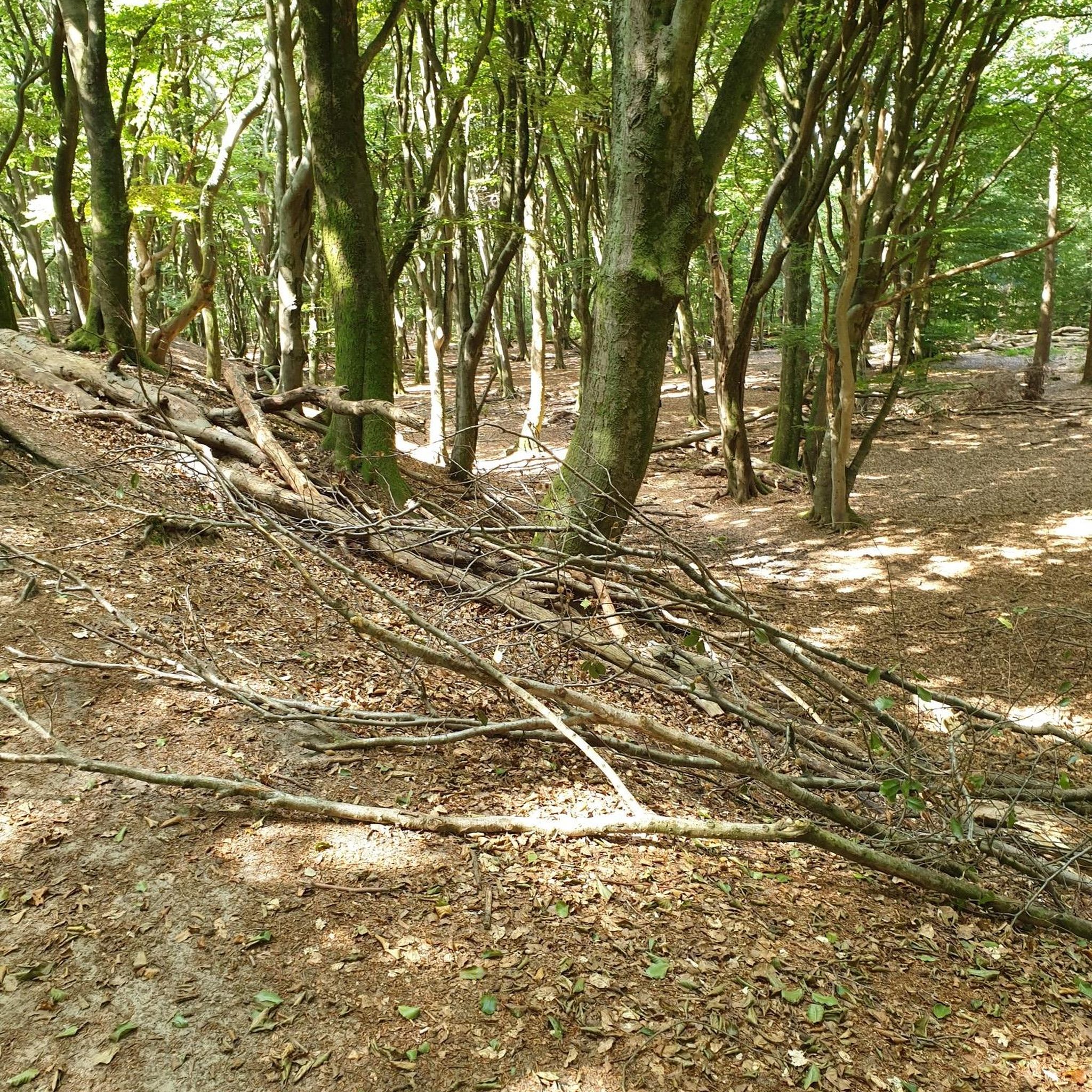
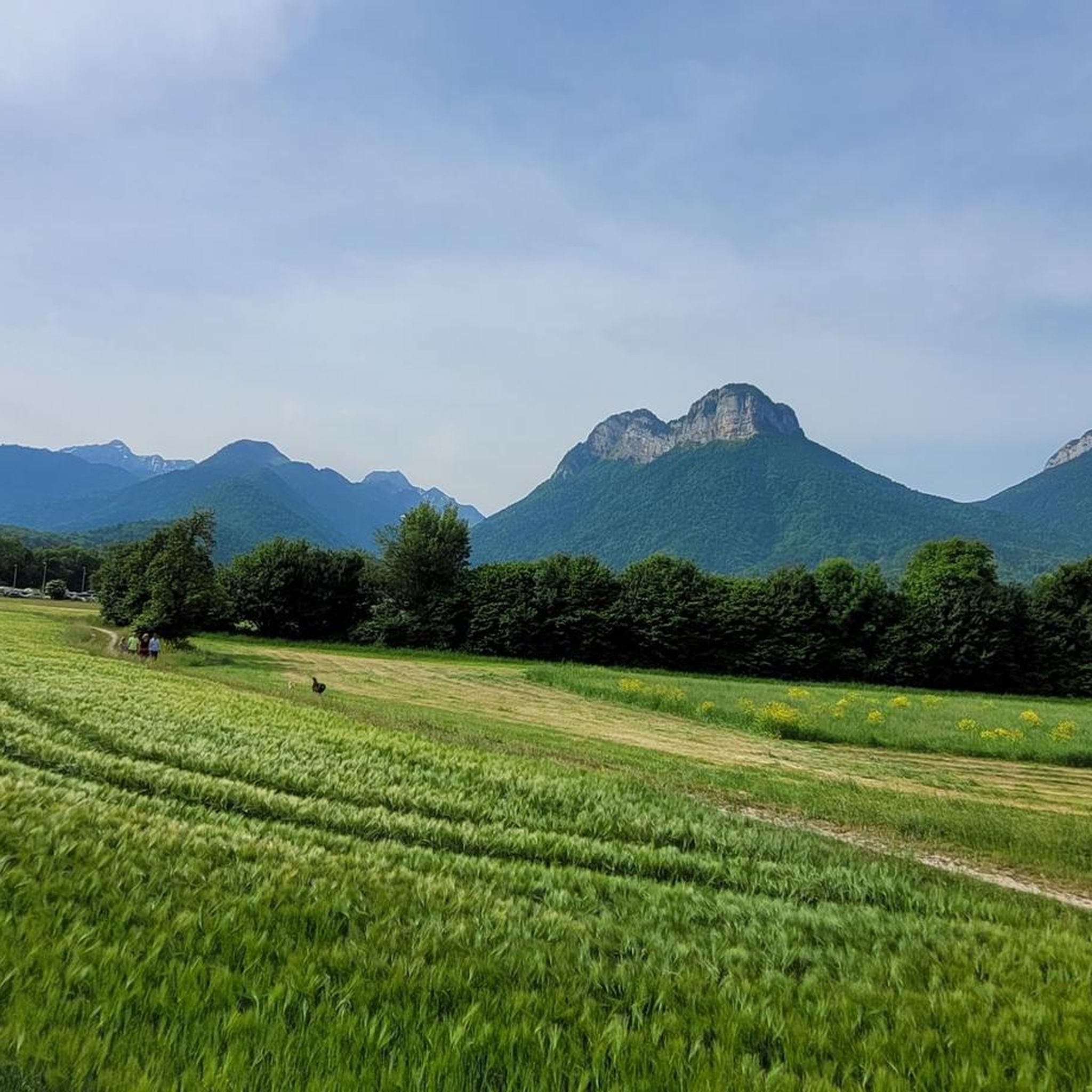
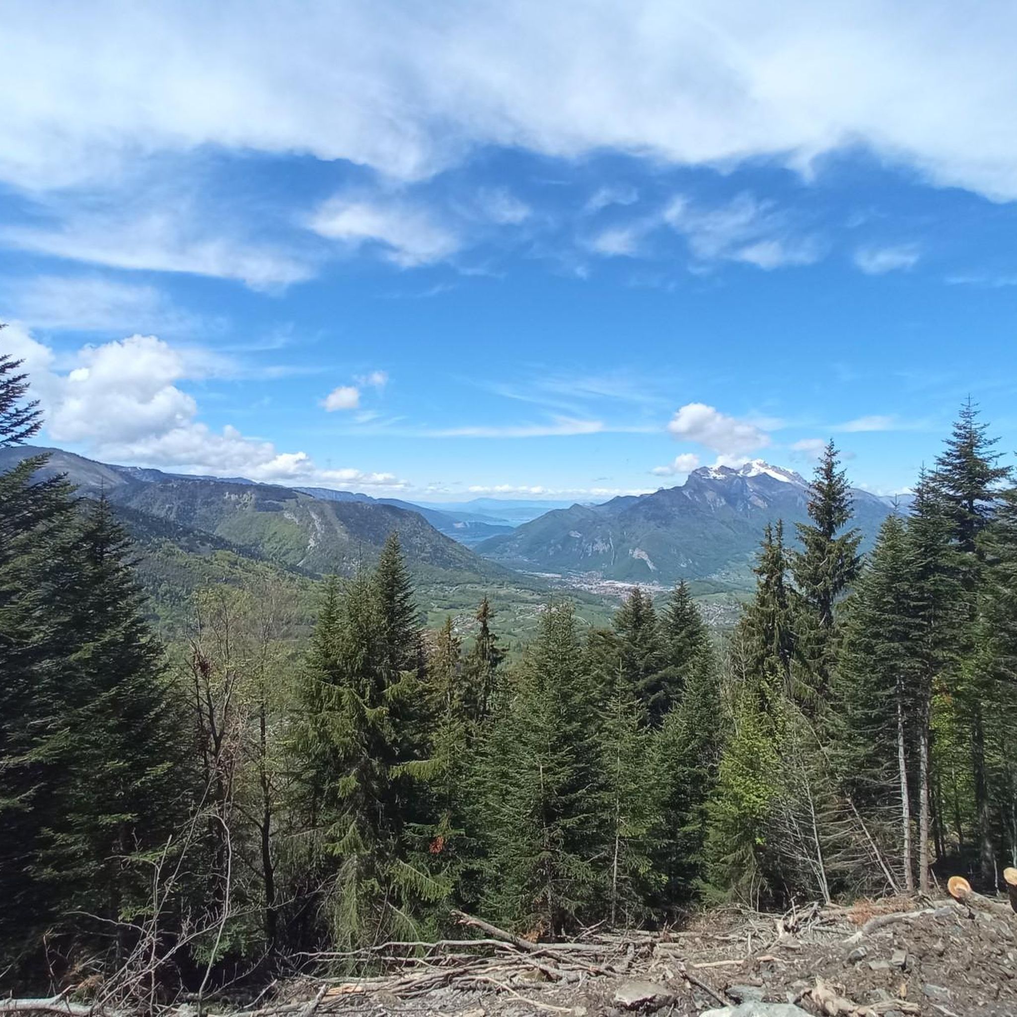
Hiking in Forêt De Rhonne offers a diverse landscape characterized by dense pine and fir forests, river courses, and varied terrain near Albertville. The region includes notable features such as the Col des Fontanettes and the Observatoire de Grignon, providing elevated viewpoints. Trails often follow riverine paths and lead through woodlands, with some routes extending into the broader Haut-Rhône nature reserve. This area presents a mix of forest environments and open natural spaces suitable for exploration.
Best hiking trails in…
Last updated: July 9, 2026
4.0
(1)
4
hikers
7.71km
02:41
400m
400m
Moderate hike. Good fitness required. Mostly accessible paths. Sure-footedness required.
4.0
(2)
62
hikers
13.3km
04:54
780m
780m
Moderate hike. Good fitness required. Easily-accessible paths. Suitable for all skill levels.

Sign up for free
4.5
(2)
17
hikers
6.62km
02:05
260m
260m
Moderate hike. Good fitness required. Easily-accessible paths. Suitable for all skill levels.
5.0
(3)
14
hikers
20.8km
08:44
1,660m
1,660m
Hard hike. Very good fitness required. Mostly accessible paths. Sure-footedness required.
13
hikers
2.30km
00:35
10m
10m
Easy hike. Great for any fitness level. Easily-accessible paths. Suitable for all skill levels.
Get access to more routes and recommendations from other explorers.
Sign up for free
Already have an account?
Our route recommendations are based on thousands of hikes, rides, and runs completed by other people on komoot.
Start today with a free account
Your next adventure awaits.
Login or Signup


Tips from the Community

Beautiful old town of Albertville.
2
0

To the cycle tourist who invented his own pass.
0
0

The descent to Queige is gravelly+++, a really not great surface but compensated by a superb view of Mont Blanc
1
0

very beautiful ruins to see while passing through the area
0
0

Pass on a quiet road, very few cars. Not a great surface. The average slope is 7.6% with sections at 13%. No clear view at the top but a small stele dedicated to the creator of this pass. To do if you want to do some elevation gain.
0
0

This fort was built as a defensive garrison in the 19th century and played a vital role in the defense strategy. Today, it plays a more peaceful, but equally important, role in the aging of Beaufort cheese.
0
0
Although strictly speaking it's not a true mountain pass, the winding roads leading to the highest point offer fantastic, tree-lined driving conditions.
0
0
Frequently Asked Questions
How many hiking trails are available in Forêt De Rhonne?
Forêt De Rhonne offers a wide selection of hiking opportunities, with over 130 trails recorded on komoot. These range from easy strolls to more challenging routes, catering to various fitness levels.
Are there easy hiking trails suitable for beginners or families in Forêt De Rhonne?
Yes, Forêt De Rhonne has many easy trails perfect for beginners or families. For instance, the Grignon Lake – Grignon Lake loop from Grignon is an easy 2.6 km path around the lake, often completed in about 40 minutes. Another accessible option is the "Bas de la forêt de Rhonne en boucle" route, an easy forest walk with minimal elevation gain.
What kind of natural landscapes can I expect to see while hiking in Forêt De Rhonne?
Forêt De Rhonne is characterized by beautiful dense woodlands, primarily composed of pines and firs. You'll find picturesque river courses, and the broader Haut-Rhône nature reserve offers diverse river landscapes, wetlands, and alluvial forests. Elevated viewpoints like the Col des Fontanettes and the Observatoire de Grignon provide stunning panoramas, sometimes even a 'sea of clouds' spectacle.
Are there any circular hiking routes in Forêt De Rhonne?
Yes, many trails in Forêt De Rhonne are designed as loops. Popular circular routes include the Idyllic river course – Château de Chantemerle loop from Tours-en-Savoie and the Conflans Fountain – Conflans loop from Albertville. The Grignon Lake – Grignon Lake loop from Grignon is another excellent circular option.
What are some notable attractions or landmarks along the hiking trails?
Hikers can discover several points of interest. The Idyllic river course – Château de Chantemerle loop passes by the historic Château de Chantemerle. The Conflans Fountain is featured in several loops, such as the Conflans – Conflans Fountain loop from Albertville. Grignon Lake is another attraction with an easy hiking circuit. Within the forest, you can also find the Observatoire de Grignon, offering panoramic views.
Is Forêt De Rhonne suitable for dog-friendly hikes?
While specific regulations for dogs on trails can vary, the natural environment of Forêt De Rhonne, with its extensive woodlands and varied terrain, generally offers many opportunities for dog-friendly walks. It's always advisable to keep dogs on a leash, especially in areas with wildlife or near other hikers, and to check local signage for any specific restrictions.
What is the best time of year to go hiking in Forêt De Rhonne?
Forêt De Rhonne is enjoyable throughout much of the year. Spring and autumn offer pleasant temperatures and beautiful foliage, making them ideal for hiking. Summer provides warmer weather for longer days on the trails. Even winter can be an option, with the possibility of snow-covered landscapes, though some trails might require appropriate gear.
Can I spot any wildlife while hiking in Forêt De Rhonne?
The broader Haut-Rhône nature reserve, which includes or is close to Forêt De Rhonne, is known for its exceptional biodiversity. You might encounter various flora and fauna, including rare and threatened species like red kites and whiskered terns. The Montagne du Charbon and Massif des Bauges nearby also host chamois, mouflons, and black grouse, suggesting a rich wildlife presence in the region.
Are there any waterfalls in or near Forêt De Rhonne?
While Forêt De Rhonne itself is primarily known for its forests and river courses, the wider region boasts impressive natural formations. Nearby, you can explore waterfalls such as Pain de Sucre, Barbannaz, and Eilloux, offering additional natural beauty to discover.
What do other hikers say about their experience in Forêt De Rhonne?
The hiking routes in Forêt De Rhonne are highly regarded by the komoot community, with an average rating of 4.6 stars from over 270 reviews. Hikers often praise the diverse terrain, the beauty of the dense woodlands, and the well-maintained paths that offer options for all skill levels.
Is public transport available to access hiking trails in Forêt De Rhonne?
Access to Forêt De Rhonne is generally easier by car, especially for reaching specific trailheads. However, Albertville, a nearby town, serves as a regional hub and may offer public transport connections that could get you closer to some starting points. It's recommended to check local bus schedules or regional transport options for specific routes.
Where can I find parking for hiking in Forêt De Rhonne?
Parking is typically available at or near the starting points of many popular trails. For routes originating from towns like Tours-en-Savoie, Albertville, or Grignon, you can usually find designated parking areas. It's advisable to check the specific tour details on komoot for information on trailhead parking.
Most popular routes in Forêt De Rhonne

Get inspired with the komoot mobile app


Explore more
Browse the best Hikes in other regions.
