The best mountain hikes in Forêt Domaniale Du Mont Jovet
4.8
(23)
149
hikers
9
hikes
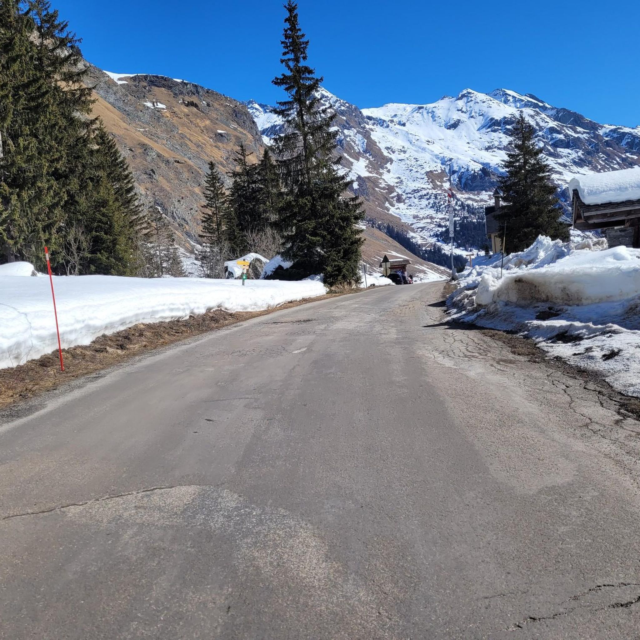
Mountaineering in Forêt Domaniale Du Mont Jovet offers diverse terrain, centered around Mont Jovet which reaches 2,558 meters. The region features extensive forests, high alpine pastures, and prominent ridges, providing varied ascents and descents. Geological formations, including schists and sandstones, contribute to the unique landscape. Panoramic viewpoints from higher elevations reveal iconic Alpine peaks and massifs.
Best mountaineering routes in Forêt Domaniale Du Mont Jovet
- The most popular mountaineering route is Mio Rock loop from Mâcot-la-Plagne, a 10.3 miles…
Last updated: October 18, 2026
5.0
(2)
8
hikers
17.8km
05:42
780m
780m
Hard mountaineering route. Very good fitness required. Easily-accessible paths. Suitable for all skill levels.
5.0
(4)
2
hikers
Moderate mountaineering route. Good fitness required. Easily-accessible paths. Suitable for all skill levels.

6
hikers
17.7km
06:29
890m
890m
Hard mountaineering route. Very good fitness required. Mostly accessible paths. Sure-footedness required.
5.0
(1)
4
hikers
6.15km
02:12
350m
350m
Moderate mountaineering route. Good fitness required. Easily-accessible paths. Suitable for all skill levels.
5.0
(1)
11
hikers
20.6km
07:58
1,290m
1,290m
Hard mountaineering route. Very good fitness required. Mostly accessible paths. Sure-footedness required.
Get access to more routes and recommendations from other explorers.
Already have an account?
Our route recommendations are based on thousands of hikes, rides, and runs completed by other people on komoot.
Start today with a free account
Your next adventure awaits.
Popular around Forêt Domaniale Du Mont Jovet

Tips from the Community


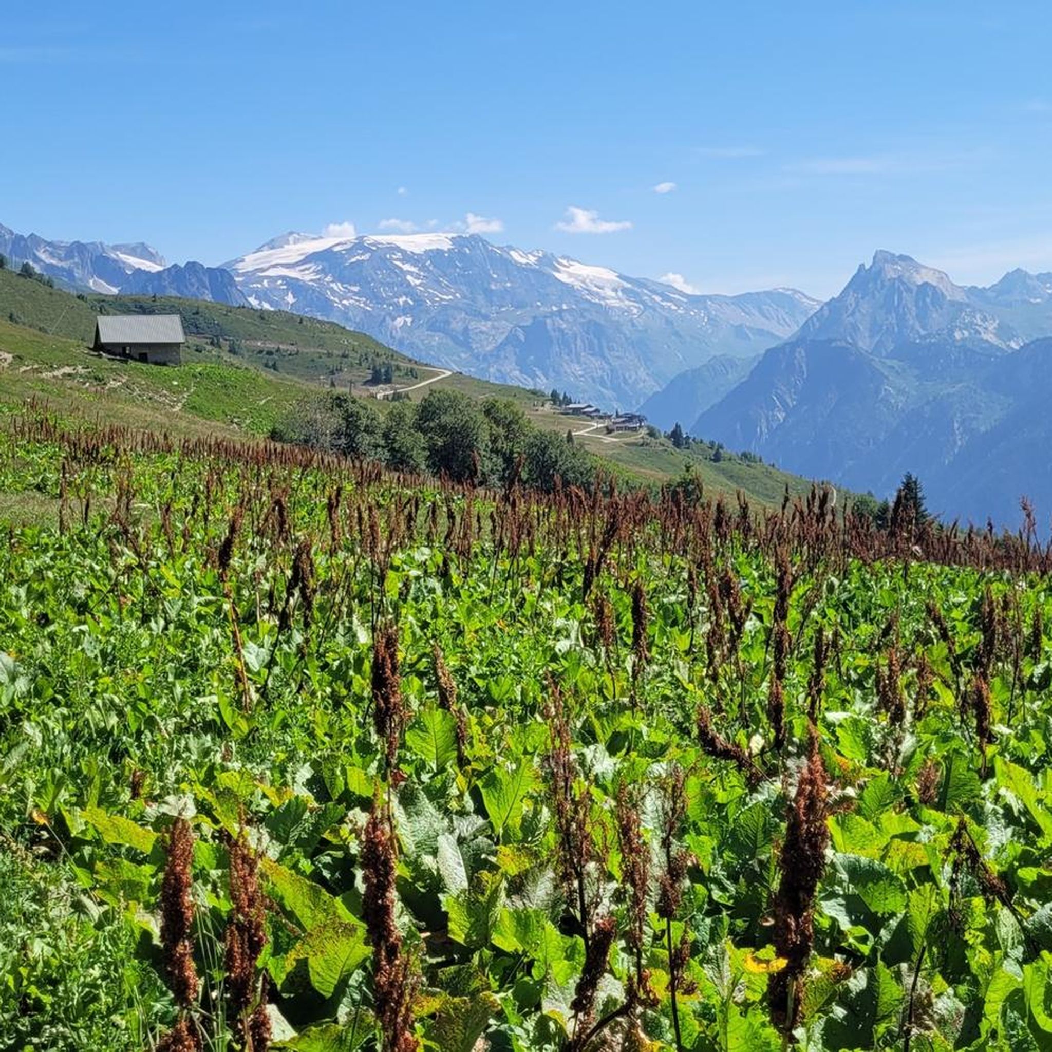
When you hike in this countryside near Plagne Soleil, you will find yourself in a charming alpine landscape where the chances of spotting marmots in their natural habitat are high. You will likely see these charming creatures sunbathing in the lush meadows and rocky outcrops. As you hike the trail, you will be rewarded with panoramic views of snow-capped peaks and wildflowers. If you are not lucky enough to spot them, their playful whistles are an experience not to be missed. By hiking in this area, you will establish a unique connection with the flora and fauna of the region.
2
0

At 2739m high, it is a proud peak with a view of the Bellecôte. If you are looking for solitude, you should drive further as the cable car from La Plagne takes numerous hikers up the mountain in summer.
0
0

Beautiful 22 kilometer unpaved climb to the Col du Jovet above Bozel in the Vanoise Alps. It is a huge and fabulous climb (almost 2000 meters of ascent). But the views from the top of the south side, including an attractive farm road, promised an even better climb. We start at Bozel, well below Courchevel. The first 6 kilometers are paved, but it turns into a bumpy farm road at 1300 meters of altitude. After the flat part in the middle of the previous profile, the route rises above the tree line. The trail is occasionally very rough and rocky, although it gets better higher up. But this requires a mountain bike or at least a suspension hybrid. The path ends at 2360 meters at the Refuge du Jovet, but the Col itself is only a few hundred meters away, a short steep walk.
1
0

Absolutely sublime...however requires good physical condition, good cardio and good shoes. Pay attention to certain passages if you don't want to find yourself 500m lower!
0
1

Very, very nice 360° panoramic view. Crazy place!
0
0
Frequently Asked Questions
What kind of terrain can I expect on mountaineering routes in Forêt Domaniale Du Mont Jovet?
The region offers diverse terrain, from extensive forests and high alpine pastures to prominent ridges. You'll encounter geological formations including schists and sandstones, and routes often feature varied ascents and descents. Higher elevations provide breathtaking 360-degree panoramic views of iconic Alpine peaks like Mont Blanc and the Ecrins.
Are there routes suitable for different skill levels?
Yes, Forêt Domaniale Du Mont Jovet provides mountaineering options for both moderate and difficult ability levels. For example, the Roc des Verdons (2,500 m) – View of the Alpine Lake loop from Piste Olympique de bobsleigh de la Plagne is a moderate route, while the Mio Rock loop from Mâcot-la-Plagne is considered difficult.
What are some notable landmarks or natural features to look out for?
The summit of Mont Jovet itself offers incredible panoramic views with an orientation table to identify surrounding peaks. You can also visit the historic Mont Jovet hut, one of the first refuges inaugurated in 1890, nestled at 2,348 meters. The area also features the picturesque Lacs Jovet within the Contamines-Montjoie national nature reserve, and the Poux Waterfall, which is part of the Poux Waterfall – Petit Mont Blanc loop from Vanoise massif.
How many mountaineering routes are available in Forêt Domaniale Du Mont Jovet?
There are over 10 mountaineering routes available in Forêt Domaniale Du Mont Jovet, offering a range of experiences across its varied terrain.
What do other mountaineers appreciate most about the routes here?
The routes in Forêt Domaniale Du Mont Jovet are highly rated by the komoot community, with an average score of 4.9 stars from over 40 reviews. Mountaineers often praise the panoramic vistas, the diverse alpine pastures, and the challenging ridge sections that define the area.
Are there any circular mountaineering routes?
Yes, several routes are circular. Examples include the Mio Rock loop from Mâcot-la-Plagne, the Roc des Verdons (2,500 m) – View of the Alpine Lake loop from Piste Olympique de bobsleigh de la Plagne, and the Mont Saint-Jacques – Tête des Arpettes loop from Mâcot-la-Plagne.
What is the best time of year for mountaineering in Forêt Domaniale Du Mont Jovet?
While specific conditions vary, the summer and early autumn months generally offer the most favorable weather for mountaineering, with accessible trails and clear views. Some routes are also suitable for ski touring in winter, but require specific winter mountaineering gear and expertise.
Are there any routes that feature waterfalls?
Yes, the Poux Waterfall – Petit Mont Blanc loop from Vanoise massif is a notable route that leads through varied terrain including waterfalls.
Is public transport available to access the mountaineering routes?
Access points like Bozel and La Cour are mentioned as starting points for trails leading to the refuge and summit. While specific public transport details are not provided, these villages often serve as hubs for local transport, which may offer connections to trailheads.
Are there any permits required for mountaineering in Forêt Domaniale Du Mont Jovet?
The provided information does not indicate that specific permits are required for general mountaineering in Forêt Domaniale Du Mont Jovet. However, it's always advisable to check local regulations or with tourist information centers before your trip, especially if planning to enter protected areas or private lands.
Are there any family-friendly mountaineering options?
While many mountaineering routes can be challenging, some sections or shorter loops might be suitable for families with older children who have hiking experience. For instance, paths through the forest above La Cour leading to the Mont Jovet hut could be a good starting point, though the full summit ascent is more demanding. Always check the difficulty and duration of a route before setting out with family.
Can I bring my dog on the trails?
The presence of alpine pastures and wildlife suggests that dogs might be allowed on some trails, but often with specific rules such as being kept on a leash to protect livestock and local fauna. It's recommended to verify local regulations for dog-friendly trails and any restrictions within specific areas or nature reserves before your visit.
Where can I find accommodation or amenities near the trails?
Villages like Bozel, La Cour, Notre-Dame-du-Pré, Aime la Plagne, and Montalbert serve as access points to the region and likely offer various amenities such as cafes, pubs, and accommodation options for visitors. The Mont Jovet hut also provides a place for hikers to rest, enjoy meals, and even spend the night.
Most popular routes in Forêt Domaniale Du Mont Jovet

Get inspired with the komoot mobile app


Explore more
Browse the best Mountain Hikes & Routes in other regions.
