The best mountain hikes in Zickenbergwald
4.8
(33)
203
hikers
21
hikes
Mountaineering routes in Zickenbergwald offer diverse experiences within a mountainous region characterized by significant elevation changes and varied terrain. The area features numerous trails that ascend to summits, pass by alpine huts, and traverse forested sections. These routes provide opportunities to explore the natural landscape, often including panoramic views from higher elevations.
Best mountaineering routes in Zickenbergwald
- The most popular mountaineering route is Pritzhütte – Kareck Summit loop from Katschberg, a 8.4 miles (13.5 km) trail that takes 5…
Last updated: July 9, 2026
5.0
(5)
36
hikers
13.6km
05:37
790m
790m
Hard mountaineering route. Very good fitness required. Sure-footedness, sturdy shoes and alpine experience required.
5.0
(1)
8
hikers
9.23km
02:46
300m
300m
Moderate mountaineering route. Good fitness required. Easily-accessible paths. Suitable for all skill levels.

Sign up for free
5.0
(1)
6
hikers
4.73km
01:28
180m
180m
Easy mountaineering route. Great for any fitness level. Easily-accessible paths. Suitable for all skill levels.
5.0
(1)
16
hikers
6.62km
02:45
550m
550m
Moderate mountaineering route. Good fitness required. Easily-accessible paths. Suitable for all skill levels.
3.7
(3)
15
hikers
Moderate mountaineering route. Good fitness required. Mostly accessible paths. Sure-footedness required.
Get access to more routes and recommendations from other explorers.
Sign up for free
Already have an account?
Our route recommendations are based on thousands of hikes, rides, and runs completed by other people on komoot.
Start today with a free account
Your next adventure awaits.
Login or Signup
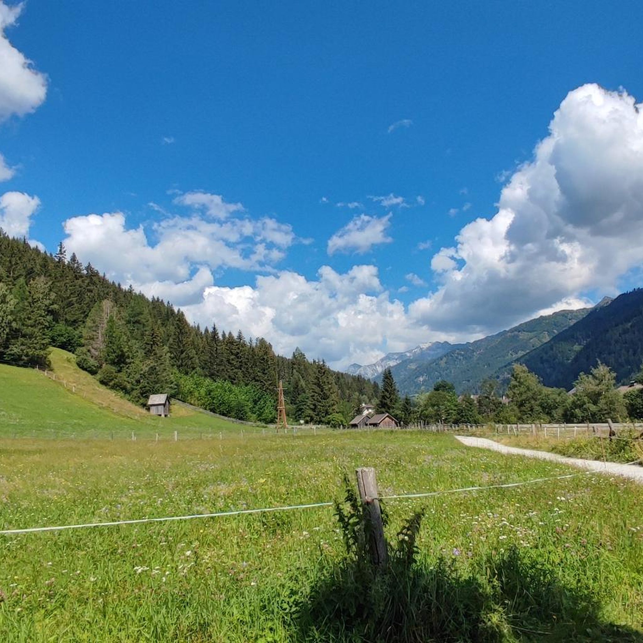
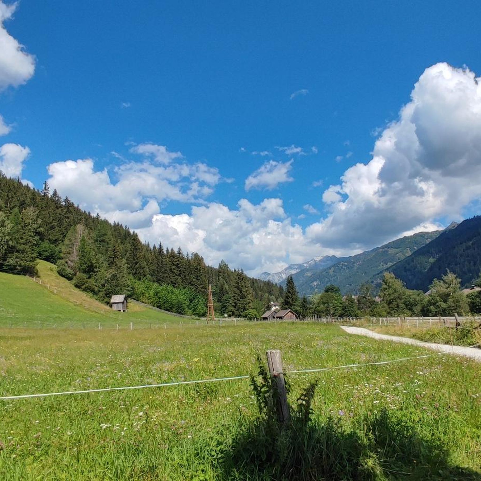
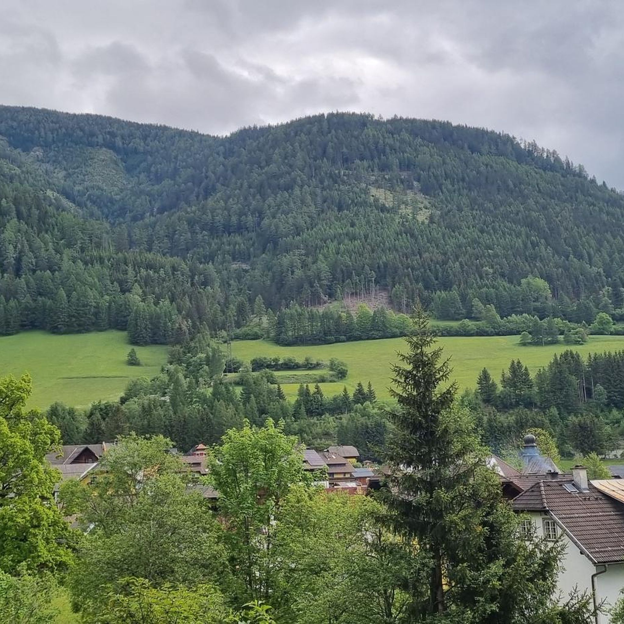
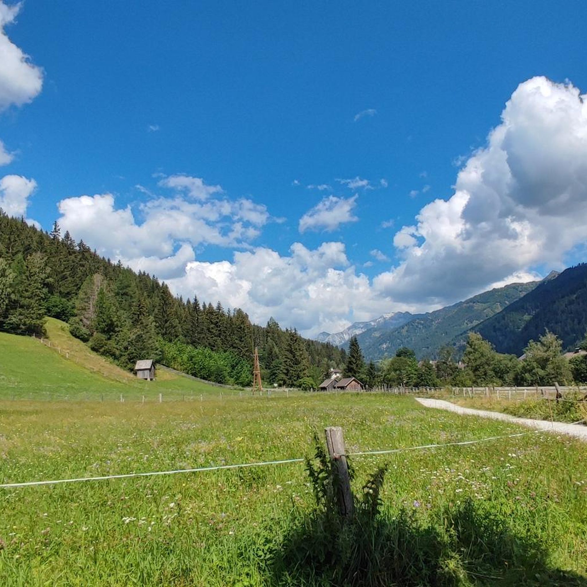
Tips from the Community

Excellent gondola service that quickly transports you to the well-presented ski area. Plenty of parking available.
8
0
Great view from the Aineck across to the Katschi.
6
0
Weather permitting, you have a fantastic view here.
8
0

They are currently under construction, so you can't go to the lake. :(
0
0

The hut is called Branntweiner Hütte (or Alm). The name is incorrect here in Komoot. I've reported it; we'll see if it gets corrected.
1
0

Recommended stop for mountain bikers with beautiful views and good restaurants.
1
0

Lovingly designed wooden bench with hearts and a signpost pointing towards the Gamskogelhütte.
0
1
Idyllic path with a bench and beautiful views. It connects, among other things, the Gamskogelhütte with the Pritzhütte.
0
0
Frequently Asked Questions
How many mountaineering routes are available in Zickenbergwald?
There are over 20 mountaineering routes in Zickenbergwald, offering a wide range of experiences from easy strolls to challenging summit ascents. The komoot community has explored these diverse trails over 200 times.
Are there any family-friendly mountaineering routes in Zickenbergwald?
Yes, Zickenbergwald offers options suitable for families. An easy route like the Gamskogel Hut – Marienkapelle Gamskogel loop from Katschberg, which is about 2.9 miles (4.7 km) long, provides a pleasant experience through mountain landscapes without excessive difficulty. You might also enjoy the nearby Trail of the Senses or the Low Ropes Course In Balance at Blasiteich for additional family activities.
What are the difficulty levels of mountaineering routes in Zickenbergwald?
Zickenbergwald features a variety of difficulty levels. You'll find 1 easy route, 7 moderate routes, and 14 difficult routes. This range ensures there's something for every skill level, from beginners to experienced mountaineers seeking a challenge.
What is the best time of year for mountaineering in Zickenbergwald?
The prime season for mountaineering in Zickenbergwald is typically from late spring through early autumn (May to October). During these months, trails are generally clear of snow, and weather conditions are more stable, offering the best views and safest passage. Always check local weather forecasts before heading out.
Are there any circular mountaineering routes in Zickenbergwald?
Many routes in Zickenbergwald are designed as loops, allowing you to start and end at the same point. For example, the moderate Marienkapelle Gamskogel – Pritzhütte loop from Katschberg is a popular circular option, covering 5.7 miles (9.2 km) through scenic mountain terrain.
What kind of views can I expect on the mountaineering routes?
Mountaineering in Zickenbergwald often rewards you with panoramic views from higher elevations, especially from summits like Kareck. Routes frequently traverse forested sections and open alpine landscapes, offering diverse vistas of the surrounding mountainous region. The View of Katschberghöhe – View of Sankt Michael im Lungau loop from Katschberg is known for its expansive outlooks.
Are there any challenging mountaineering routes for experienced hikers?
Absolutely. Zickenbergwald is home to 14 difficult mountaineering routes. A prime example is the Pritzhütte – Kareck Summit loop from Katschberg, an 8.4-mile (13.5 km) trail with substantial elevation gain towards the Kareck Summit, requiring good fitness and experience.
What do other mountaineers enjoy most about Zickenbergwald?
The area is highly rated by the komoot community, with an average score of 4.8 stars from over 30 reviews. Reviewers often praise the diverse terrain, the rewarding summit ascents, and the well-maintained paths connecting alpine huts. Many appreciate the opportunities to explore the natural landscape and enjoy panoramic views.
Are there places to eat or get refreshments along the routes?
Yes, some routes pass by or near snack stations and huts. For instance, the Neuhauser Stadl snack station is a convenient stop for refreshments, often accessible from various trails in the area. It's always a good idea to carry sufficient water and snacks, especially on longer tours.
What are the typical lengths and durations of mountaineering trails in Zickenbergwald?
The trails vary significantly in length and duration. You can find shorter routes like the Gamskogel Hut – Marienkapelle Gamskogel loop from Katschberg, which is 2.9 miles (4.7 km) and takes about 1 hour 28 minutes. Longer, more challenging routes, such as the Pritzhütte – Kareck Summit loop from Katschberg, can be up to 8.4 miles (13.5 km) and require around 5 hours 36 minutes to complete.
Are there any notable natural attractions or landmarks to see in Zickenbergwald?
Beyond the stunning mountain scenery, Zickenbergwald offers several points of interest. You can visit the serene Blasiteich, a beautiful lake, or explore the Trail of the Senses. These highlights provide opportunities to appreciate the region's natural beauty and unique features.
Is the Aineck Summit accessible via a mountaineering route?
Yes, the Aineck Summit loop from Katschberg is a moderate mountaineering route that takes you to the Aineck Summit. This 6.6-mile (10.6 km) trail offers rewarding views and is a popular choice for those looking to reach a peak.
Most popular routes in Zickenbergwald
Most popular attractions in Zickenbergwald

Get inspired with the komoot mobile app


Explore more
Browse the best Mountain Hikes & Routes in other regions.
