The best running trails in Obernbergwald
4.4
(154)
3,247
runners
162
runs
Jogging routes in Obernbergwald provide diverse terrain for runners, featuring paths around scenic lakes and through marshlands. The region includes forested areas and hills, offering varied elevation profiles. Runners can explore routes that range from gentle loops to more challenging ascents, catering to different fitness levels.
Best jogging routes in Obernbergwald
- The most popular jogging route is Ödensee South Shore – Ödensee loop from Obersdorfer Moos, a 11.3 miles (18.2 km) trail that takes 2 hours 1 minute to…
Last updated: August 14, 2026
4.7
(3)
30
runners
18.2km
02:01
240m
240m
Hard run. Very good fitness required. Mostly paved surfaces. Suitable for all skill levels.
3.0
(1)
17
runners
11.3km
01:17
170m
160m
Moderate run. Good fitness required. Mostly paved surfaces. Suitable for all skill levels.

Sign up for free
16
runners
9.22km
00:57
50m
50m
Moderate run. Good fitness required. Mostly paved surfaces. Suitable for all skill levels.
5.0
(1)
5
runners
6.90km
00:44
60m
60m
Moderate run. Good fitness required. Mostly paved surfaces. Suitable for all skill levels.
5.0
(1)
6
runners
11.4km
02:08
820m
820m
Hard run. Very good fitness required. Sure-footedness, sturdy shoes and alpine experience required.
Get access to more routes and recommendations from other explorers.
Sign up for free
Already have an account?
Our route recommendations are based on thousands of hikes, rides, and runs completed by other people on komoot.
Start today with a free account
Your next adventure awaits.
Login or Signup
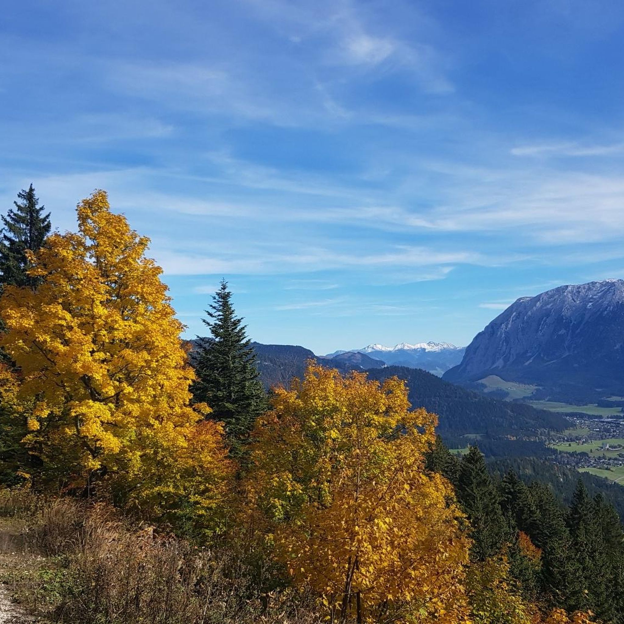
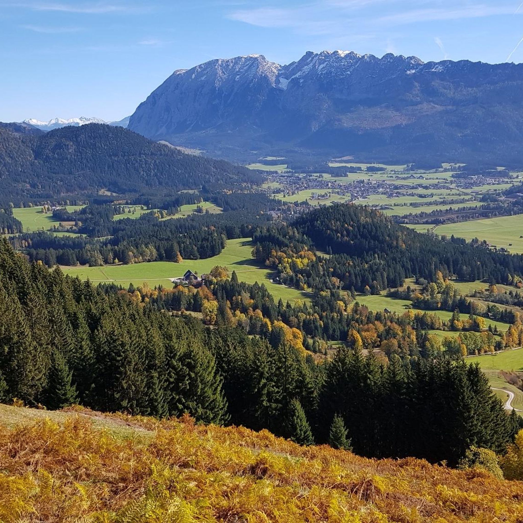
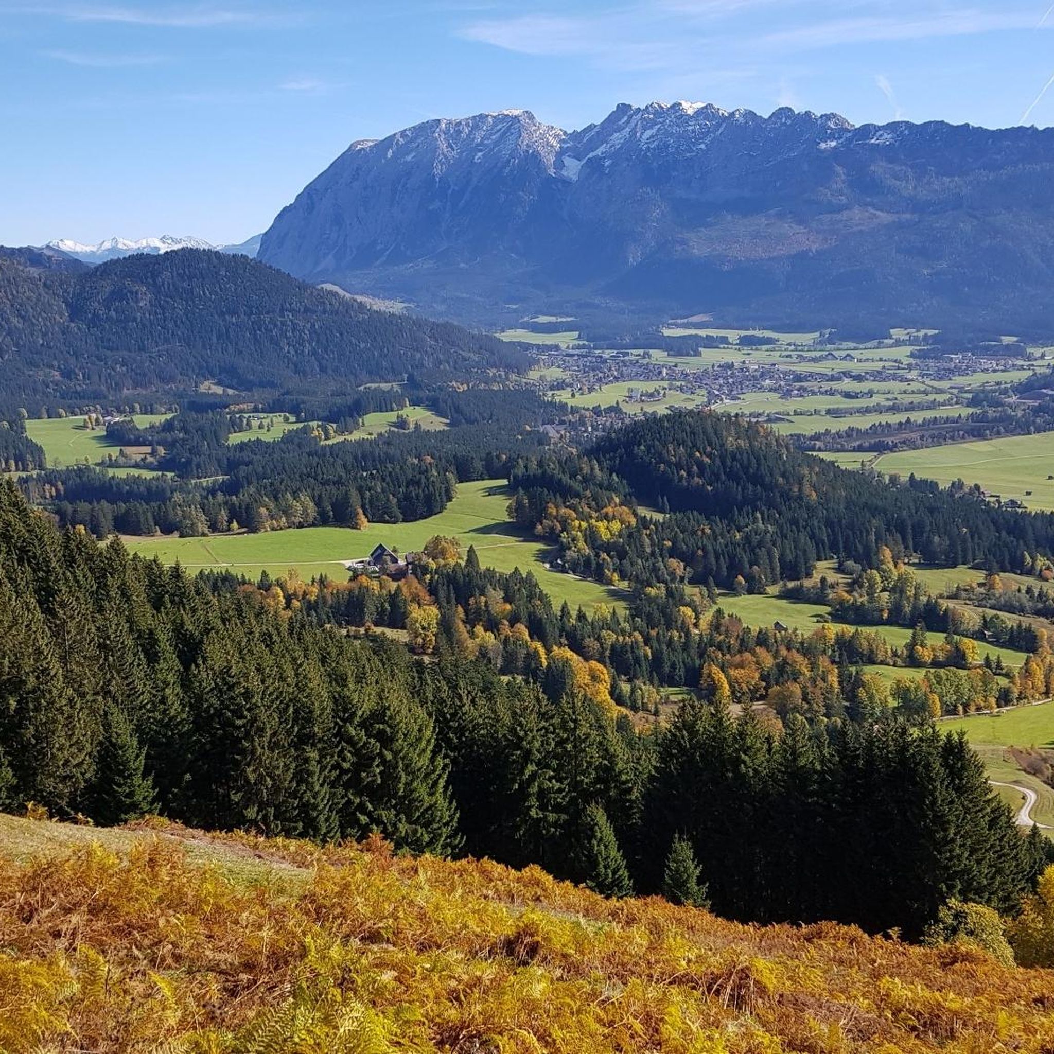
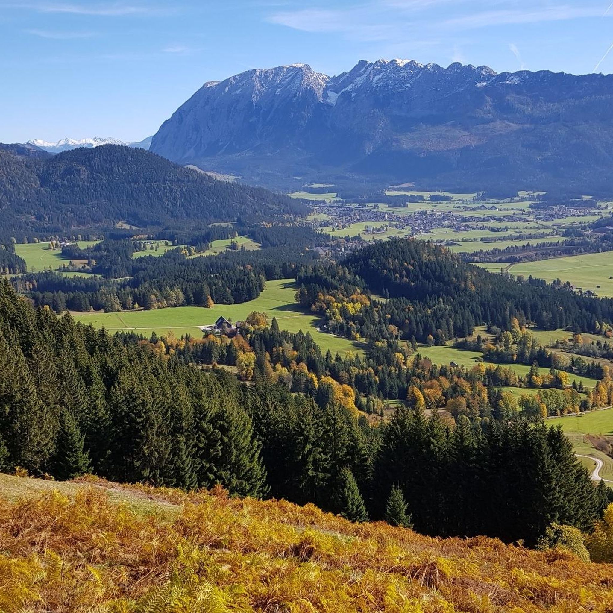
Tips from the Community

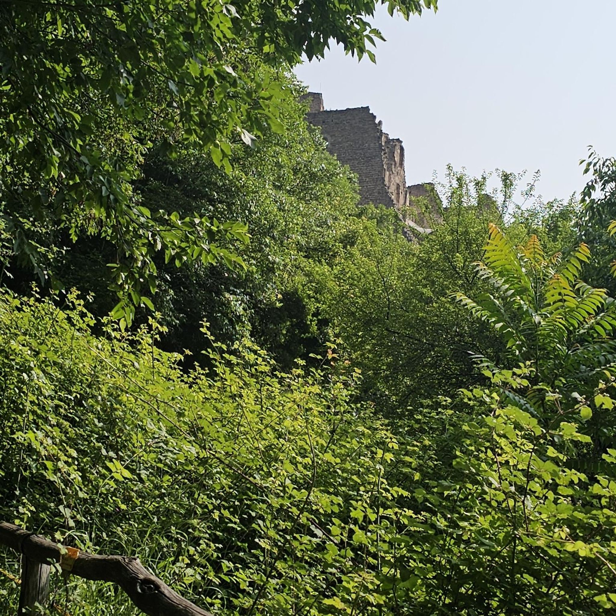
Nice little hike to enjoy nature and stop at the Kohlröserlhütte.
0
0

Bad Mitterndorf is a picturesque town in Styria, known for its breathtaking mountain scenery and diverse leisure opportunities. The region is particularly popular for its wellness offers and as a starting point for numerous hikes and ski tours.
2
0

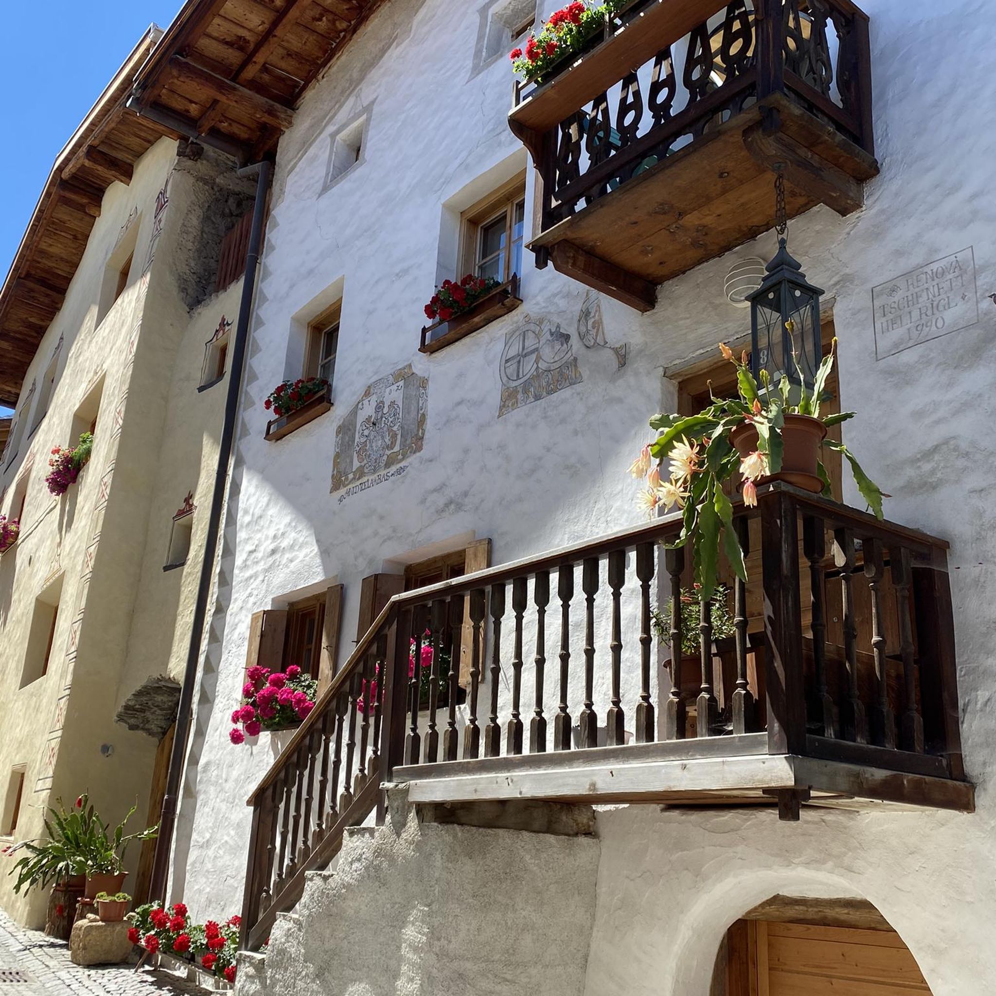
Dreamy place with beautiful houses
0
0

It's simply wonderful to walk around the lake on the narrow path right next to the water.
1
0
It's a dream to walk around the lake on the small, narrow path right next to the water.
3
0
A magical place with the mossy, round stones that were formed by the power of water. I am completely fascinated by this natural spectacle, with springs bubbling up in so many different places and developing into rushing streams with countless small waterfalls.
1
0
There is always an opportunity for a break.
2
0

Frequently Asked Questions
How many running routes are available in Obernbergwald?
Obernbergwald offers a wide selection of over 170 running routes, catering to various preferences and fitness levels. You'll find everything from gentle loops to more challenging trail runs through diverse landscapes.
Are there easy running routes suitable for beginners in Obernbergwald?
Yes, Obernbergwald has several easy running routes perfect for beginners or those looking for a relaxed jog. There are 13 routes classified as easy, often featuring mostly paved surfaces and minimal elevation gain, making them accessible for any fitness level.
What kind of terrain can I expect on the jogging trails in Obernbergwald?
The jogging routes in Obernbergwald are characterized by diverse terrain, including scenic lake shores, tranquil marshlands, and forested hills. You can expect a mix of paths, from mostly paved surfaces to more natural trails, offering varied elevation profiles.
Are there any circular running routes in Obernbergwald?
Many of the running routes in Obernbergwald are designed as loops, allowing you to start and finish at the same point. For example, the Strumern Karst Spring loop from Radlingpass is a moderate 6.9 km circular route, perfect for exploring the area.
Can I bring my dog on the jogging trails in Obernbergwald?
While specific regulations for dogs on every trail can vary, generally, many outdoor trails in Austria are dog-friendly, especially if dogs are kept on a leash. It's always advisable to check local signage and be respectful of wildlife and other users. Ensure you carry water for your dog and clean up after them.
Are there family-friendly jogging options in Obernbergwald?
For families, routes with mostly paved surfaces and less elevation are ideal. Look for the 'easy' classified routes, which are typically shorter and less demanding. These paths often provide a pleasant experience for all ages, allowing families to enjoy nature together.
What are some longer or more challenging running routes in Obernbergwald?
For those seeking a challenge, Obernbergwald offers several difficult routes. The Ödensee South Shore – Ödensee loop from Obersdorfer Moos is a difficult 18.2 km trail with significant elevation gain. Another challenging option is the Kampl – Obernbergwald loop from Obersdorfer Moos, which is 11.4 km with over 800 meters of elevation gain.
Are there any scenic viewpoints or natural attractions along the jogging routes?
Yes, many routes offer beautiful scenery. The region is known for its picturesque location by the Inn River (in the broader Innviertel area), providing scenic views of the river and surrounding landscapes. Routes around lakes like the Ödensee also offer stunning natural vistas and opportunities for birdwatching in sedimentation zones.
Is public transport available to access the running trails in Obernbergwald?
Access to specific trailheads by public transport can vary. While larger towns in the region like Bad Mitterndorf (near some of the listed routes) are generally well-connected, reaching more remote starting points might require a combination of public transport and a short walk or taxi. It's best to check local bus schedules for the specific area you plan to visit.
Where can I park my car when visiting the jogging routes in Obernbergwald?
Many popular trailheads and recreational areas in Obernbergwald and the surrounding regions typically offer designated parking facilities. For routes starting from villages or towns like Obersdorfer Moos or Radlingpass, you can often find public parking nearby. Always look for official parking signs and be mindful of local regulations.
What do other runners say about their experience jogging in Obernbergwald?
The running routes in Obernbergwald are highly rated by the komoot community, with an average score of 4.4 stars from over 140 reviews. More than 4000 runners have explored these varied terrains, often praising the diverse landscapes, from lake shores to forested hills, and the well-maintained paths suitable for different ability levels.
What is the best time of year to go running in Obernbergwald?
The best time to go running in Obernbergwald largely depends on your preference. Spring and autumn offer pleasant temperatures and beautiful scenery with blooming nature or vibrant fall colors. Summer is also great, especially for routes near lakes or in shaded forests. Winter can be challenging due to snow and ice, but some trails might be suitable for winter running with appropriate gear.
Are there any routes that combine running with cultural sights?
While the immediate guide data focuses on natural trails, the broader region of Obernberg am Inn features cultural highlights. For instance, the historic Reichersberg Abbey is a notable landmark in that area, offering cultural interest and beautiful grounds. If you're in that specific part of the region, you might find routes that pass by such sites.
Most popular routes in Obernbergwald

Get inspired with the komoot mobile app


Explore more
Browse the best Running Trails & Routes in other regions.
