The best mountain hikes in Buchbergriedel
4.8
(142)
1,535
hikers
51
hikes
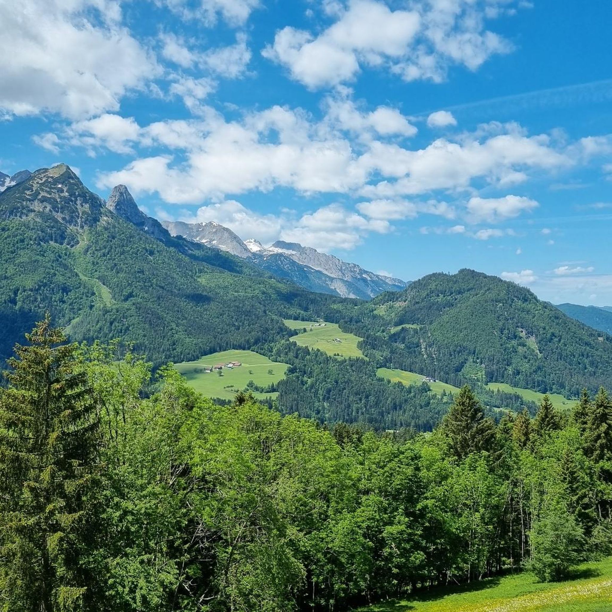
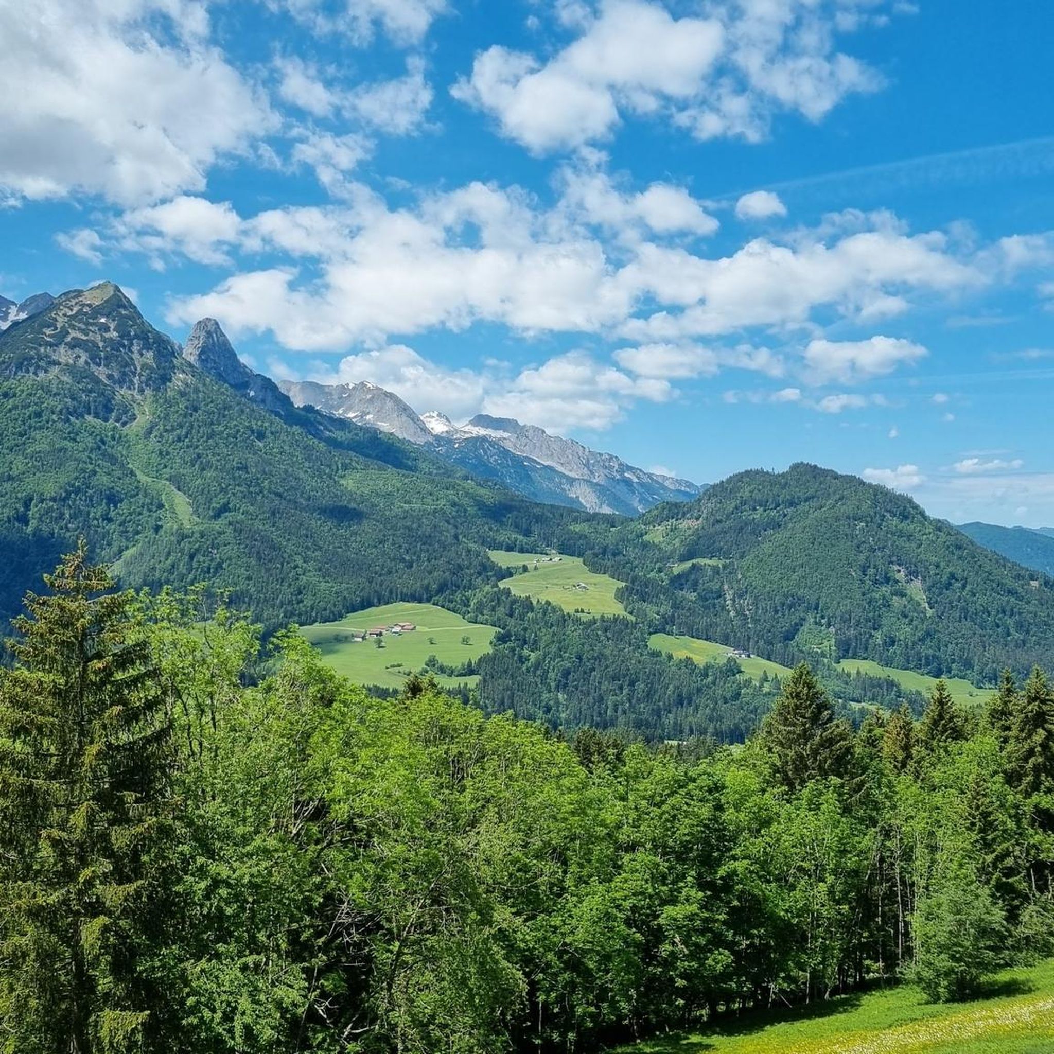
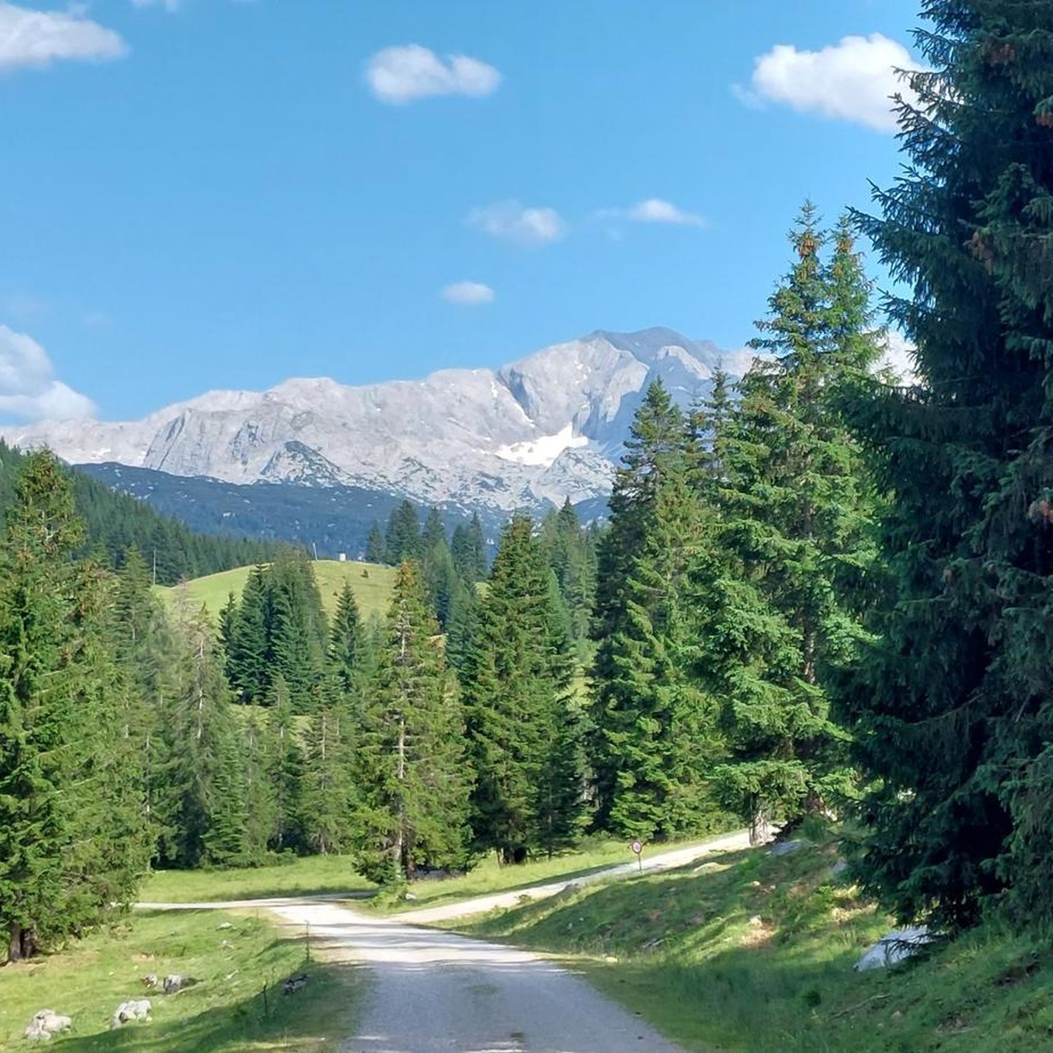
Mountaineering in Buchbergriedel offers a diverse range of alpine experiences within the mountains around Bezirk Hallein. The region is characterized by significant elevation changes, leading to prominent summits and expansive views, including the Dachstein Massif. Trails often traverse varied terrain, from high-alpine paths to forested sections. The area provides opportunities for both challenging ascents and more moderate mountain walks.
Best mountaineering routes in Buchbergriedel
- The most popular mountaineering route is Gablonzer Hut (1550 m) – Großer Donnerkogel Summit loop from…
Last updated: July 5, 2026
4.9
(35)
315
hikers
4.81km
03:55
520m
520m
Hard mountaineering route. Good fitness required. Sure-footedness, sturdy shoes and alpine experience required.
5.0
(2)
5
hikers
8.15km
04:54
610m
610m
Hard mountaineering route. Good fitness required. Sure-footedness, sturdy shoes and alpine experience required.

Sign up for free
5.0
(1)
7
hikers
Moderate mountaineering route. Great for any fitness level. Mostly accessible paths. Sure-footedness required.
5.0
(1)
7
hikers
Easy mountaineering route. Great for any fitness level. Easily-accessible paths. Suitable for all skill levels.
4.5
(4)
49
hikers
14.4km
08:23
1,260m
1,260m
Hard mountaineering route. Very good fitness required. Sure-footedness, sturdy shoes and alpine experience required.
Get access to more routes and recommendations from other explorers.
Sign up for free
Already have an account?
Our route recommendations are based on thousands of hikes, rides, and runs completed by other people on komoot.
Start today with a free account
Your next adventure awaits.
Login or Signup
Tips from the Community


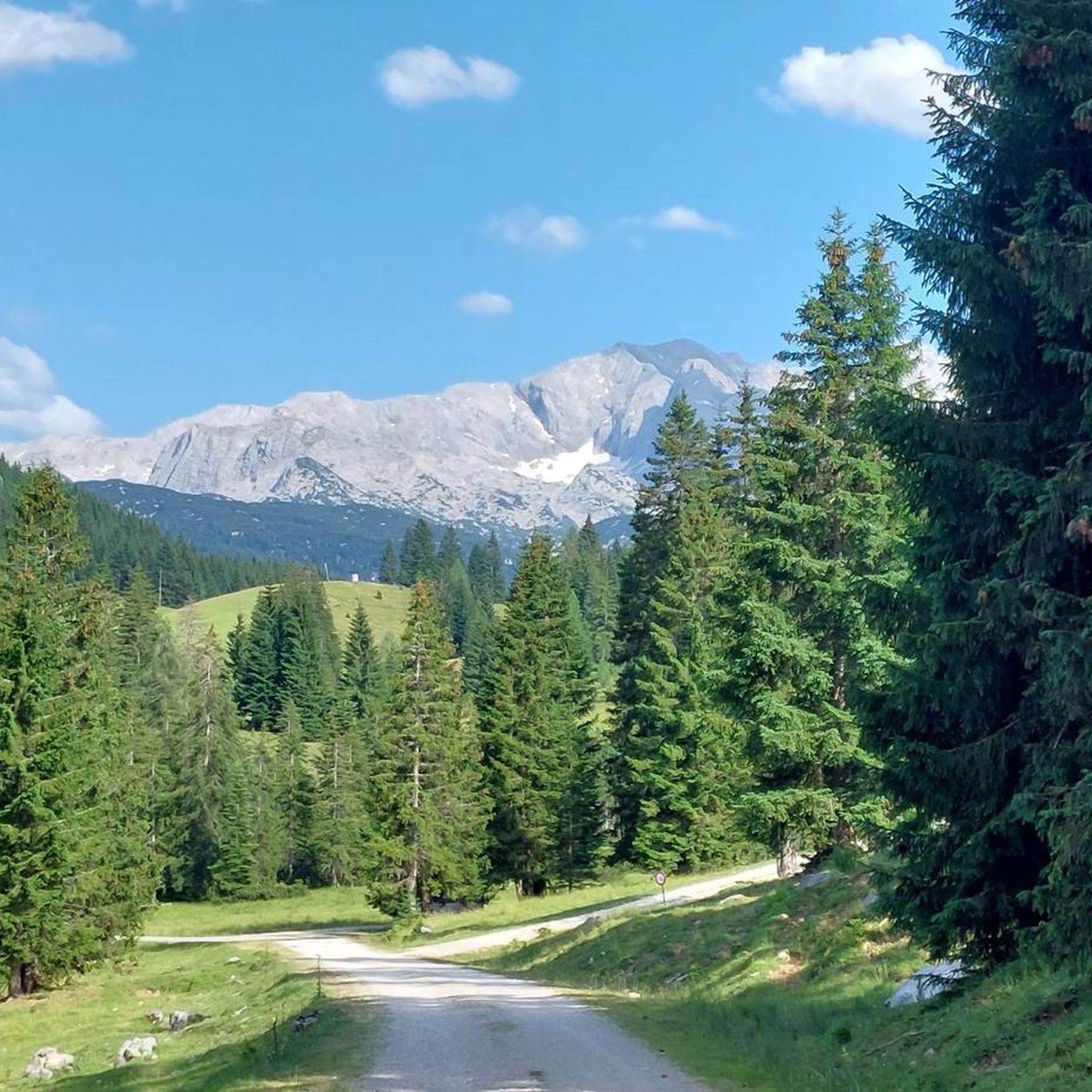
At an altitude of around 1,500 metres you will find a wonderful alpine landscape. Just the thing for a relaxed hike with stunning panoramas.
1
0

of course the magnet of Gosau, therefore crowded at any time of the year!
0
0
beautiful, well-maintained hiking trails with great scenery
0
0


Frequently Asked Questions
How many mountaineering routes are available in Buchbergriedel?
Buchbergriedel offers a diverse selection of over 50 mountaineering routes, catering to various skill levels from easy walks to challenging summit ascents.
Are there routes suitable for beginners or families in Buchbergriedel?
Yes, Buchbergriedel has several routes suitable for beginners and families. For example, the View from Zwieselalmweg – View of the Dachstein Massif loop from Bergstation Donnerkogelbahn is rated easy and offers scenic views without extreme difficulty.
What kind of challenges can experienced mountaineers expect in Buchbergriedel?
Experienced mountaineers will find plenty of challenging ascents in Buchbergriedel, with over 30 difficult routes. These often involve significant elevation changes and high-alpine terrain, such as the demanding Vorderer Gosausee – Großer Donnerkogel Summit loop from Vorderer Gosausee, which includes over 1200 meters of ascent.
Are there any circular mountaineering routes in Buchbergriedel?
Yes, many of the routes in Buchbergriedel are designed as loops, allowing you to start and finish at the same point. An example is the View of the Dachstein Massif – View from Zwieselalmweg loop from Gablonzer Hütte, which offers panoramic views and varied alpine terrain.
What is the best time of year for mountaineering in Buchbergriedel?
The best time for mountaineering in Buchbergriedel is typically from late spring to early autumn (June to September) when trails are generally free of snow and weather conditions are more stable. Always check local weather forecasts before heading out, especially for high-alpine routes.
What do other mountaineers enjoy most about the routes in Buchbergriedel?
The routes in Buchbergriedel are highly rated by the komoot community, with an average score of 4.8 stars from over 140 reviews. Reviewers often praise the prominent summits, expansive views (including the Dachstein Massif), and the varied alpine terrain that offers both challenging ascents and more moderate mountain walks.
Are there any scenic viewpoints along the mountaineering routes?
Yes, Buchbergriedel is known for its prominent summits and expansive views. Many routes offer stunning vistas, particularly of the Dachstein Massif. The region's significant elevation changes ensure numerous opportunities for panoramic outlooks throughout your journey.
What are the typical conditions for winter mountaineering in Buchbergriedel?
Winter mountaineering in Buchbergriedel can be challenging due to snow, ice, and colder temperatures. Some routes may be impassable or require specialized equipment like snowshoes or crampons. It's crucial to consult local conditions and avalanche warnings before planning any winter ascent.
Are there options for public transport to access mountaineering routes in Buchbergriedel?
While specific public transport options vary by trailhead, the region around Buchbergriedel and Bezirk Hallein generally has bus services that can connect to some starting points. It's advisable to research specific route access points and local bus schedules in advance.
Are there any permits required for mountaineering in Buchbergriedel?
Generally, no specific permits are required for day hikes on established mountaineering routes in Buchbergriedel. However, if you plan to access certain protected areas or private lands, it's always best to check local regulations beforehand.
Can I find places to eat or drink near the mountaineering trails?
Yes, some mountaineering routes in Buchbergriedel pass by or lead to mountain huts (like the Gablonzer Hütte mentioned in some routes) where you can find refreshments and meals during the hiking season. It's a good idea to check their operating hours before your tour.
Most popular routes in Buchbergriedel

Get inspired with the komoot mobile app


Explore more
Browse the best Mountain Hikes & Routes in other regions.
