The best mountain hikes in Wenger Wald
4.8
(767)
7,357
hikers
113
hikes
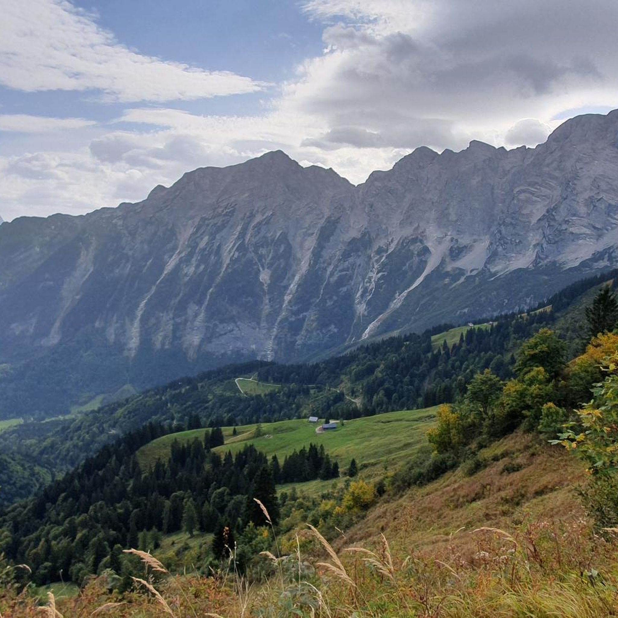
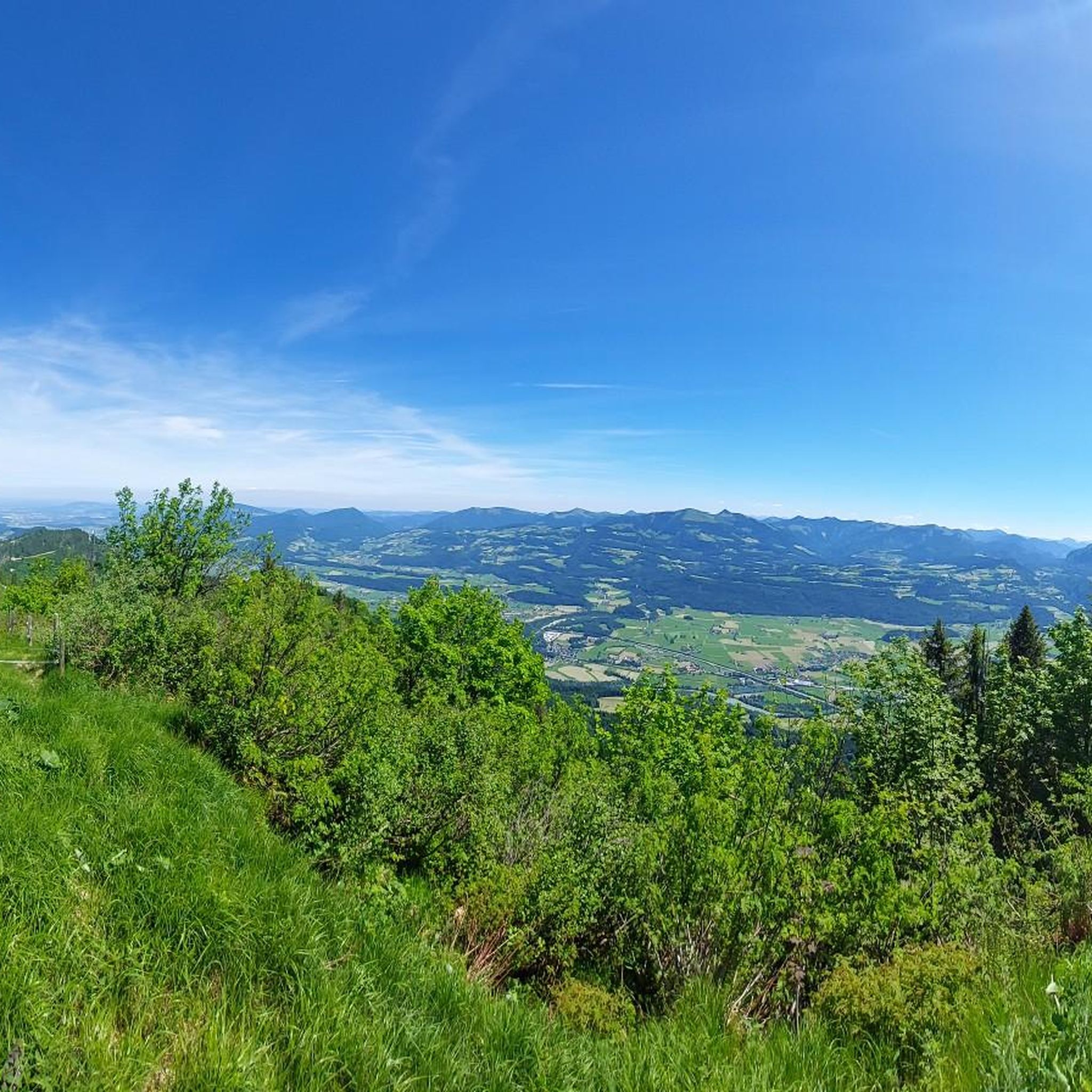
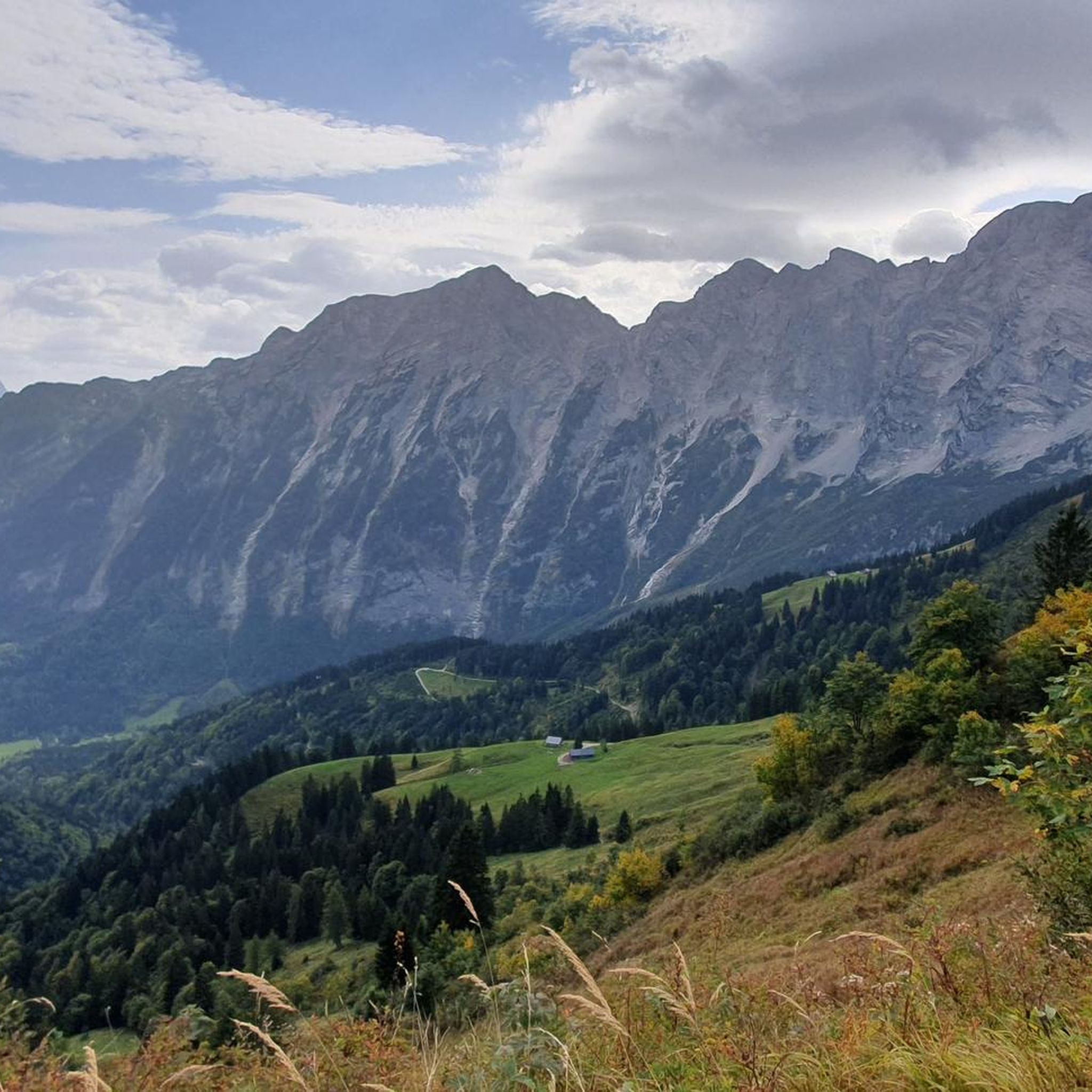
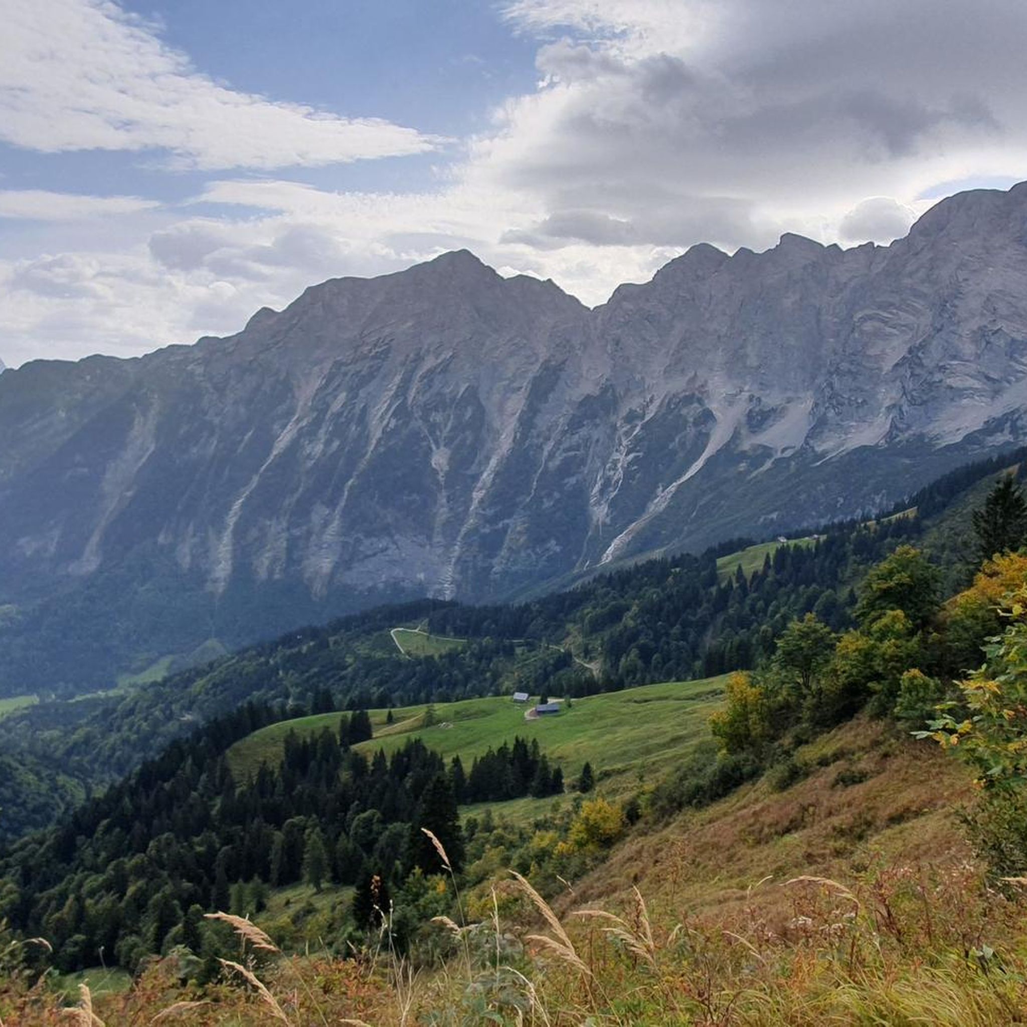
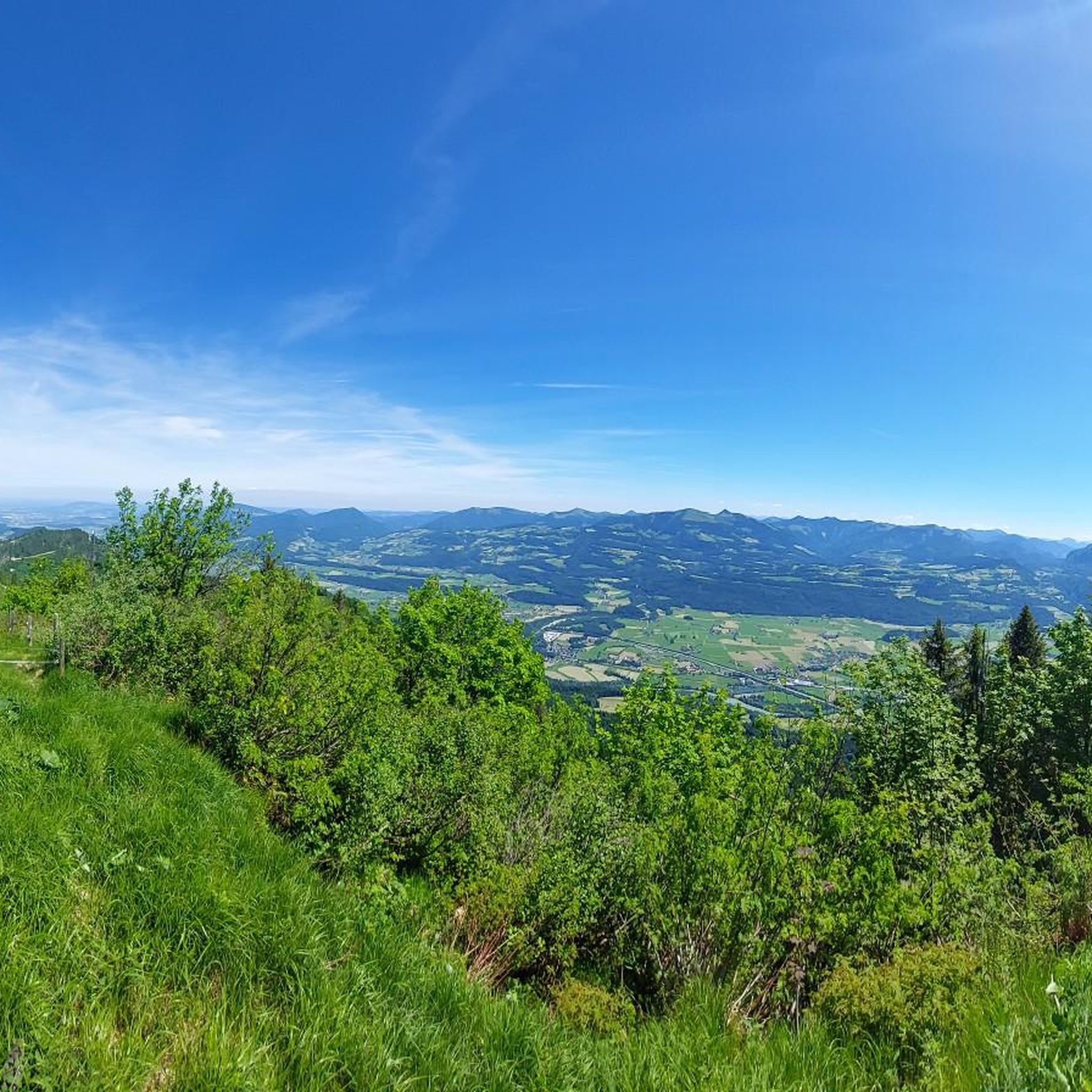
Mountaineering in Wenger Wald offers diverse routes set against the impressive backdrop of the Northern Limestone Alps. The region features captivating alpine panoramas, including views of the Berchtesgaden Alps, Hagengebirge, and Tennengebirge. The landscape transitions from lush green meadows to gently sloping terrain, ascending towards rugged cliffs and imposing peaks. This area provides a blend of natural beauty and challenging activities for mountaineers.
Best mountaineering routes in Wenger Wald
- The most popular mountaineering route is Kuchl Bridge Over the Salzach…
Last updated: July 1, 2026
14
hikers
10.4km
04:10
770m
770m
Moderate mountaineering route. Good fitness required. Easily-accessible paths. Suitable for all skill levels.
5.0
(1)
13
hikers
9.40km
05:56
1,070m
1,070m
Hard mountaineering route. Very good fitness required. Sure-footedness, sturdy shoes and alpine experience required.

Sign up for free
5.0
(1)
8
hikers
7.94km
03:06
460m
460m
Moderate mountaineering route. Good fitness required. Mostly accessible paths. Sure-footedness required.
4
hikers
12.8km
04:50
850m
850m
Moderate mountaineering route. Good fitness required. Easily-accessible paths. Suitable for all skill levels.
4.9
(7)
54
hikers
4.05km
02:01
370m
370m
Moderate mountaineering route. Good fitness required. Mostly accessible paths. Sure-footedness required.
Get access to more routes and recommendations from other explorers.
Sign up for free
Already have an account?
Our route recommendations are based on thousands of hikes, rides, and runs completed by other people on komoot.
Start today with a free account
Your next adventure awaits.
Login or Signup
Tips from the Community

Simply beautiful. A must-see if you're in the area.
0
1

Unfortunately, the Nesslangeralm is closed in mid-October 25. We were looking forward to a break there!
0
0

Somewhat steep climb to the summit cross
4
0
Unfortunately, it was closed on Wednesdays. Otherwise, highly recommended.
3
0
The Oberhornalm is an ideal place to stop for a break. With a view of the Kehlsteinhaus
3
0
A somewhat difficult climb.
3
0

Without the wooden stairs the climb would be even more challenging
0
0

Frequently Asked Questions
How many mountaineering routes are available in Wenger Wald?
Wenger Wald offers a wide selection of mountaineering routes, with over 100 tours available. These range from moderate to difficult, providing options for various skill levels.
What kind of terrain can I expect on mountaineering routes in Wenger Wald?
The terrain in Wenger Wald is characterized by a blend of lush green meadows and gently sloping areas that gradually ascend towards rugged cliffs and imposing peaks. You'll experience diverse landscapes, from serene natural beauty to challenging alpine environments, all set against the impressive backdrop of the Northern Limestone Alps.
Are there routes suitable for beginners or those new to mountaineering in Wenger Wald?
Yes, Wenger Wald offers several moderate mountaineering routes that are suitable for those with good fitness but who might be newer to the sport. For example, the Kuchl Ski Hut loop from Kuchl is a moderate route covering about 12.7 km with an elevation gain of 845 meters, offering a good introduction to the region's alpine environment.
What is the best time of year for mountaineering in Wenger Wald?
The best time for mountaineering in Wenger Wald is generally during the warmer months, from late spring to early autumn. This period offers more stable weather conditions and clear paths, allowing you to fully enjoy the stunning alpine panoramas and diverse routes. Always check local weather forecasts before heading out.
Are there any circular mountaineering routes in Wenger Wald?
Yes, many of the mountaineering routes in Wenger Wald are designed as loops, allowing you to start and end at the same point. For instance, the challenging Hoher Göll (2522m) – Schustersteig loop from Eck is a circular route that covers nearly 10 km with a significant elevation gain.
Can you recommend a challenging mountaineering route with significant elevation gain?
For experienced mountaineers seeking a challenge, the Hoher Göll (2522m) – Schustersteig loop from Eck is an excellent choice. This difficult route spans approximately 9.87 km and features an impressive elevation gain of over 1,200 meters, demanding very good fitness and sure-footedness.
Are there mountaineering routes that offer exceptional panoramic views?
Absolutely. Wenger Wald is renowned for its breathtaking panoramic views. Many routes provide vistas of prominent mountain ranges like the Berchtesgaden Alps, Hagengebirge, and Tennengebirge. The Kuchl Bridge Over the Salzach – View of the Tennengebirge loop from Kuchl, for example, offers unobstructed views of the majestic Tennengebirge Mountains. Additionally, viewpoints like the Rossfeld Panorama Road Viewpoint are easily accessible and provide stunning scenery.
Is there parking available near the mountaineering trailheads in Wenger Wald?
Yes, parking is generally available near popular trailheads in Wenger Wald, particularly in areas like Kuchl and Gasteig, which serve as starting points for many mountaineering tours. Specific parking information can often be found in the detailed route descriptions on komoot.
Are there any family-friendly mountaineering options in Wenger Wald?
While many routes are geared towards moderate to hard mountaineering, families with older children who are accustomed to hiking might enjoy some of the less strenuous moderate routes. Always check the difficulty and elevation gain for each route to ensure it matches your family's capabilities. The region also offers general hiking and cycling paths, such as the Sonnenscheinweg Panoramic Cycle Route, which are more suitable for younger children.
Are dogs allowed on the mountaineering trails in Wenger Wald?
Generally, dogs are permitted on many trails in Wenger Wald, but it's always advisable to keep them on a leash, especially in alpine pastures or near wildlife. Be prepared for varied terrain and ensure your dog is fit enough for the chosen route. Always carry water for your dog and clean up after them.
What nearby attractions can I explore after a mountaineering trip in Wenger Wald?
After your mountaineering adventure, you can explore several nearby attractions. The Sonnenscheinweg Panoramic Cycle Route offers scenic paths, and the Rossfeld Panorama Road Viewpoint provides impressive mountain vistas. You might also visit the Steigbach Bridge or enjoy the Northern Alps panorama along the Salzach for more natural beauty.
What do other mountaineers enjoy most about the routes in Wenger Wald?
The mountaineering routes in Wenger Wald are highly rated by the komoot community, with an average score of 4.8 stars from over 900 reviews. Mountaineers often praise the captivating alpine panoramas, the blend of challenging activities with serene natural beauty, and the impressive backdrop of the Northern Limestone Alps. The diverse options for both moderate and hard mountaineering are also frequently highlighted.
Most popular routes in Wenger Wald
Most popular attractions in Wenger Wald

Get inspired with the komoot mobile app


Explore more
Browse the best Mountain Hikes & Routes in other regions.
