The best cycling routes in Oberer Weilhartforst
4.5
(2952)
18,389
riders
795
rides
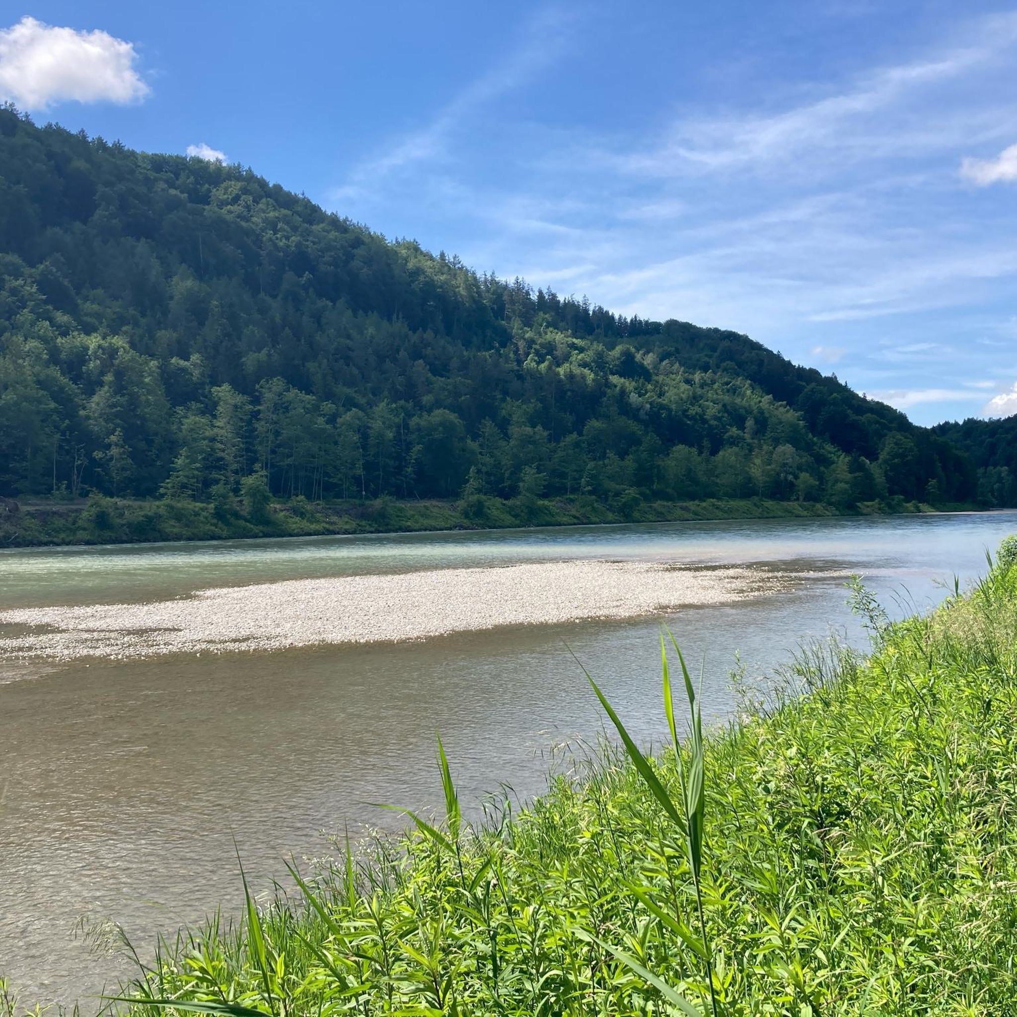
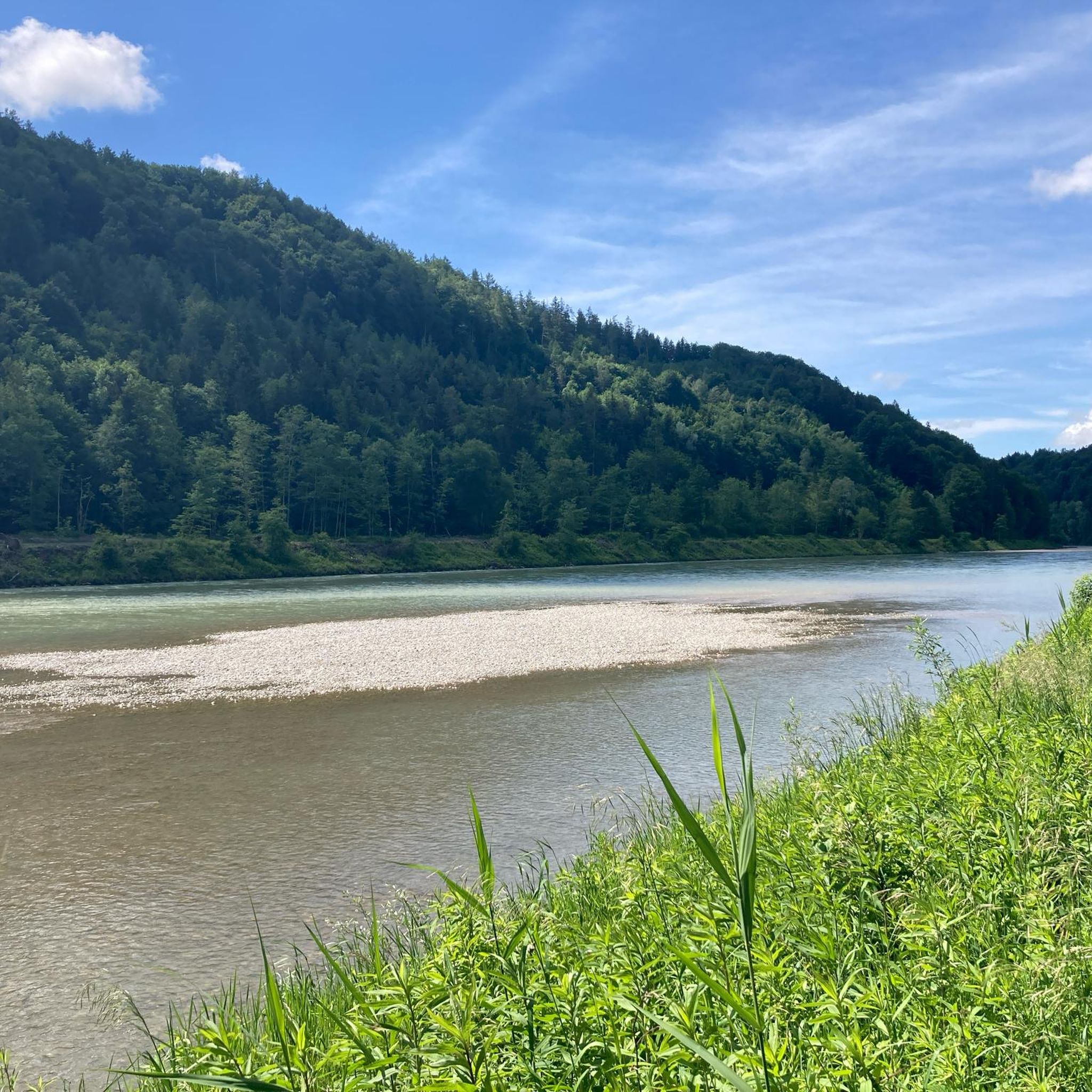
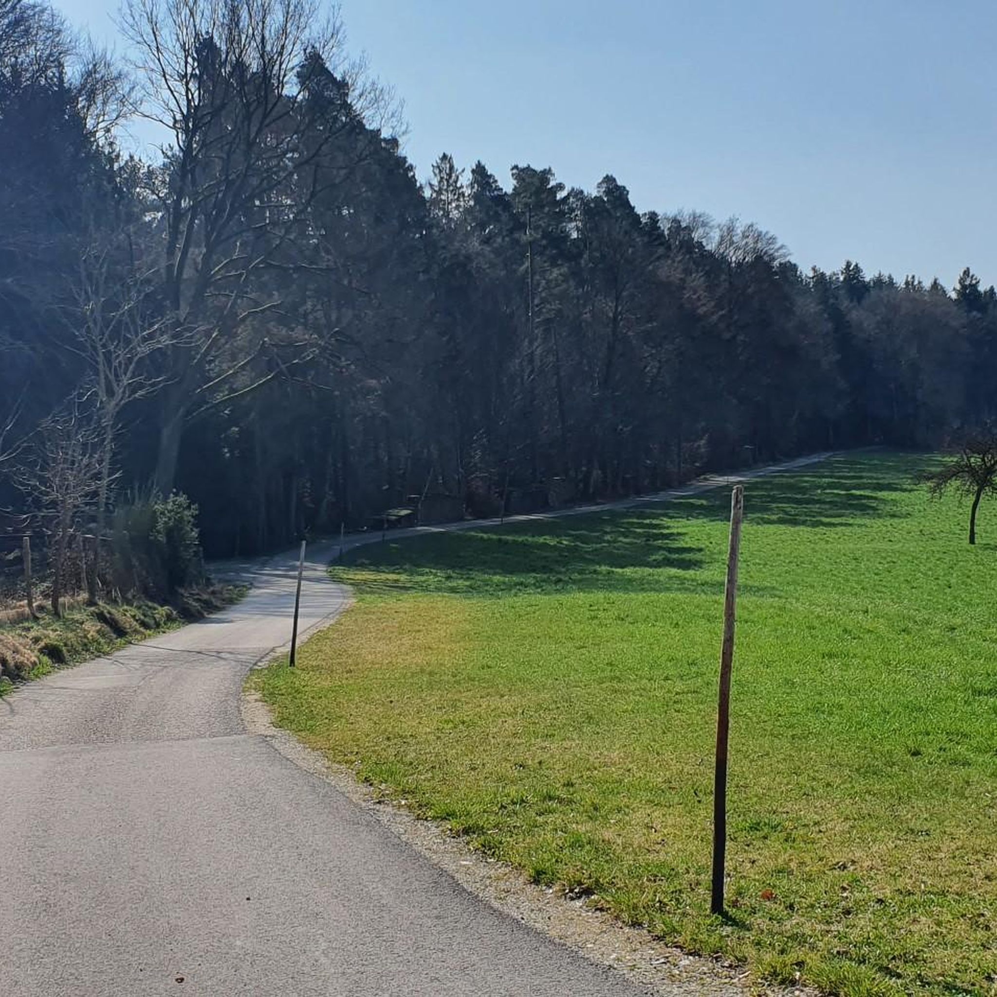
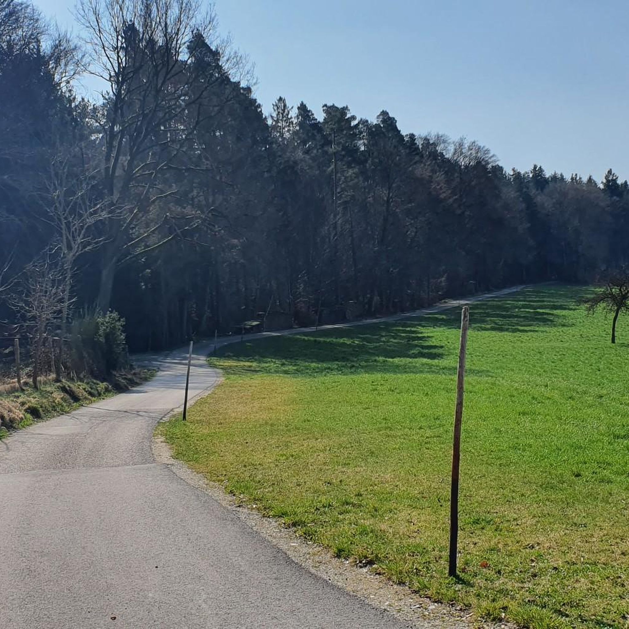
Touring cycling in Oberer Weilhartforst offers diverse landscapes shaped by the Ice Age Salzach glacier, featuring a hilly morainic terrain with elevations reaching over 500 meters. The region is characterized by dense spruce forests, with an increasing presence of deciduous trees, providing shaded paths. Numerous natural small lakes and ponds, including the Huckingersee, dot the area, offering scenic spots. This varied topography includes both flat and hilly forest sections, alongside unique treeless depressions.
Best touring cycling routes in Oberer Weilhartforst
…Last updated: July 5, 2026
4.6
(21)
92
riders
46.5km
02:56
420m
420m
Moderate bike ride. Good fitness required. Mostly paved surfaces. Suitable for all skill levels.
4.4
(5)
50
riders
Easy bike ride. Great for any fitness level. Mostly paved surfaces. Suitable for all skill levels.

Sign up for free
4.7
(6)
32
riders
14.8km
00:54
120m
120m
Easy bike ride. Great for any fitness level. Mostly paved surfaces. Suitable for all skill levels.
5.0
(1)
34
riders
13.5km
00:53
140m
140m
Easy bike ride. Great for any fitness level. Mostly paved surfaces. Suitable for all skill levels.
4.0
(3)
24
riders
Moderate bike ride. Good fitness required. Mostly paved surfaces. Suitable for all skill levels.
Get access to more routes and recommendations from other explorers.
Sign up for free
Already have an account?
Our route recommendations are based on thousands of hikes, rides, and runs completed by other people on komoot.
Start today with a free account
Your next adventure awaits.
Login or Signup

Tips from the Community

A rewarding view of beautiful facades.
0
0

Beautiful view of the mountains ⛰️
0
0

The border between Germany and Austria is in the middle of the Salzach
0
0
The Powder Tower is located on the edge of Lake Wöhrsee
0
0

The town hall was built in the 18th century by combining three originally separate residential plots. The western façade was redesigned as a unified structure after the merger. The core of the Gothic atrium dates from the 14th and 15th centuries, while the façade dates back to the 18th century. The building was inhabited by the noble Mautner family before being acquired by the town in 1439. The façade features the Burghausen town coat of arms, with the Bavarian heraldic symbols of diamonds and lions above it.
13
0
The historic town square is one of the most beautiful in Central Europe. Magnificent buildings preserve the flair of centuries past. The town square impresses not only with its picturesque architecture but also with a unique atmosphere that combines tradition and modernity.
16
0

From Hochburg Ach a beautiful view of the longest castle in Burghausen
0
0
Bridge does not need to be used
0
0
Frequently Asked Questions
How many touring cycling routes are available in Oberer Weilhartforst?
Oberer Weilhartforst offers a wide selection of touring cycling routes, with over 800 options available on komoot. These routes cater to various skill levels, including over 300 easy routes, more than 400 moderate routes, and over 100 difficult routes for experienced cyclists.
What kind of terrain can I expect on touring cycling routes in Oberer Weilhartforst?
The region is characterized by a diverse landscape, primarily a hilly morainic terrain shaped by the Ice Age Salzach glacier, with elevations reaching over 500 meters. You'll find dense spruce forests, increasingly mixed with deciduous trees, offering shaded paths. The routes include both flat and hilly forest sections, as well as unique treeless depressions and tranquil natural lakes.
Are there touring cycling routes suitable for beginners or families?
Yes, Oberer Weilhartforst has many easy routes perfect for beginners and families. For example, the Salzach Riverside Cycle Path – Burghausen Town Square loop from Scheuerhof is an easy 6.1-mile (9.9 km) path that follows the Salzach riverside, offering flat sections and scenic views. Another great option is the Heratinger Lake (Ibmer Lake) – Ibmer Moor Nature Reserve loop from Franking, a 9.5-mile (15.3 km) trail through natural lake areas and moorland.
Are there any challenging touring cycling routes for experienced riders?
Yes, for more experienced cyclists seeking a challenge, there are over 100 difficult routes available. These routes often feature more significant elevation changes and longer distances, taking advantage of the region's hilly morainic landscape. A moderate option that offers varied terrain and views is the Burghausen Town Square – Burghausen Castle loop from Scheuerhof, which is 28.9 miles (46.5 km) long with over 400 meters of elevation gain.
Can I find circular touring cycling routes in the region?
Many touring cycling routes in Oberer Weilhartforst are designed as loops, allowing you to start and end at the same point. Examples include the View of Burghausen Castle – Burghausen Castle loop from Scheuerhof, an easy 8.5-mile (13.7 km) route, and the Bürmooser See – Holzöstersee Beach loop from Franking, a moderate 17.7-mile (28.5 km) ride connecting two beautiful lakes.
What interesting sights or landmarks can I explore along the touring cycling routes?
While cycling, you can discover several points of interest. The Pest Cemetery (Plague Cemetery) is a historical site nestled in the forest, offering a unique stop. You might also encounter the serene Heilbrünndl Chapel. The region's varied topography also provides opportunities for scenic views, including glimpses of castles and the surrounding landscape.
Are there any natural highlights to see while cycling?
Absolutely. A prominent natural highlight is the Huckingersee, a small, wonderfully natural lake surrounded by a beautiful mixed forest. The broader Huckinger Seen area is known for its near-natural reed zones, swamp forests, and interesting amphibian populations, providing tranquil spots to pause and enjoy nature. You'll also cycle through extensive, dense woodlands, offering a serene natural environment.
What do other touring cyclists appreciate most about the routes in Oberer Weilhartforst?
The touring cycling routes in Oberer Weilhartforst are highly rated by the komoot community, with an average score of 4.5 stars from over 2700 reviews. Cyclists often praise the diverse landscapes, from hilly moraines to tranquil lakes and dense forests, as well as the variety of routes suitable for different ability levels.
What is the best time of year for touring cycling in Oberer Weilhartforst?
The extensive forests in Oberer Weilhartforst provide shaded paths, making it enjoyable for cycling even on warmer days. Spring and autumn offer pleasant temperatures and beautiful scenery with changing foliage. Summer is also suitable, especially with the natural lakes providing refreshing stops.
Are dogs allowed on the touring cycling routes?
Many outdoor areas in Oberer Weilhartforst are dog-friendly, especially on forest paths and trails. However, it's always recommended to keep dogs on a leash, particularly in nature reserves or areas with wildlife, and to check specific route details or local regulations for any restrictions.
Where can I find parking for touring cycling routes?
While specific parking locations are not detailed for every route, many trailheads and popular starting points for cycling routes in regions like Oberer Weilhartforst typically offer designated parking areas. It's advisable to check the starting point of your chosen route on komoot for more precise parking information.
Are there places to stop for refreshments or accommodation along the routes?
The region, being popular for outdoor activities, likely has cafes, pubs, or guesthouses in nearby towns and villages. While specific establishments are not listed, planning your route with komoot allows you to identify towns or points of interest where you might find refreshment stops or accommodation options.
Most popular routes in Oberer Weilhartforst
Most popular attractions in Oberer Weilhartforst

Get inspired with the komoot mobile app


Explore more
Browse the best Cycling routes in other regions.
