The best cycling routes in Daxenthaler Forst
4.5
(2605)
16,402
riders
511
rides
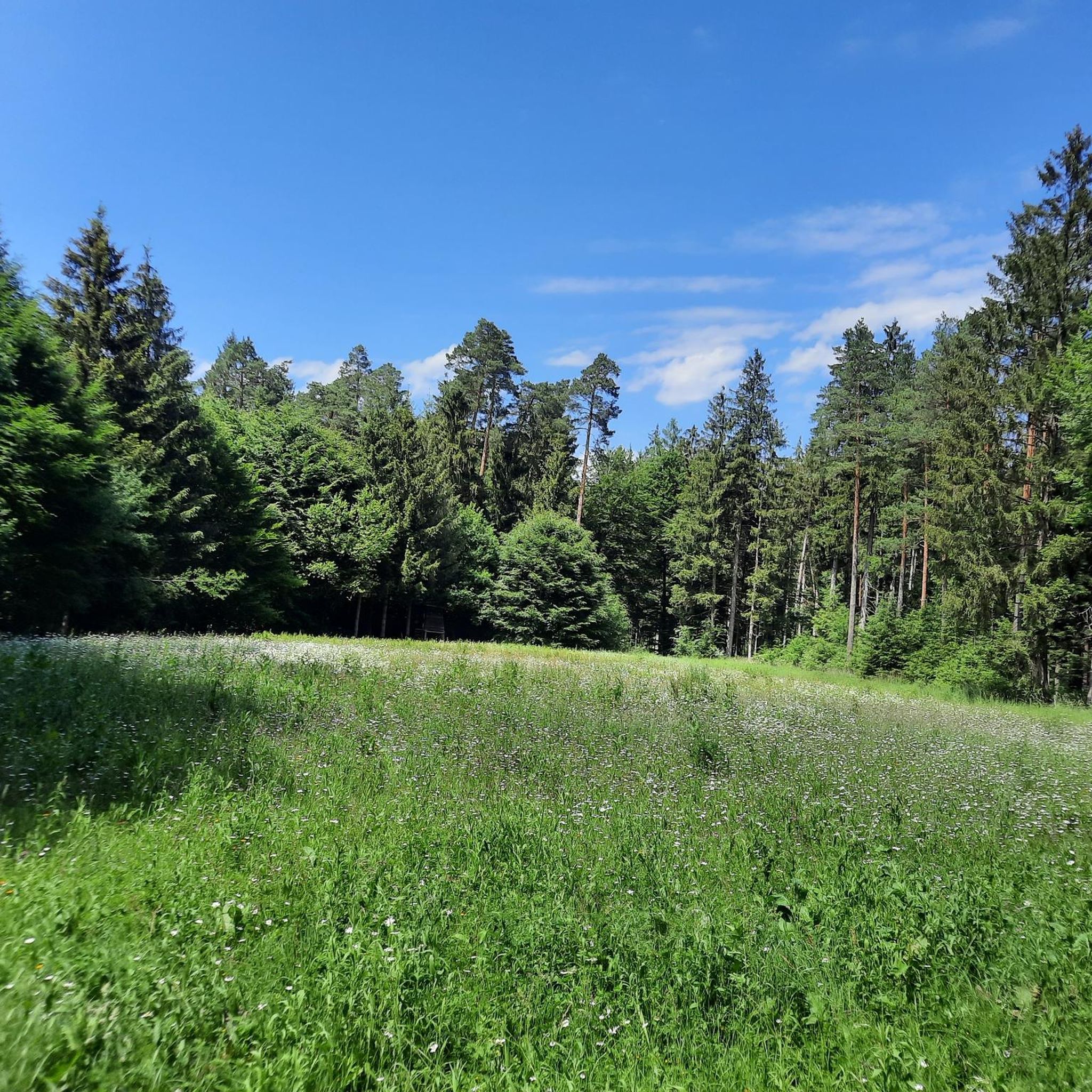
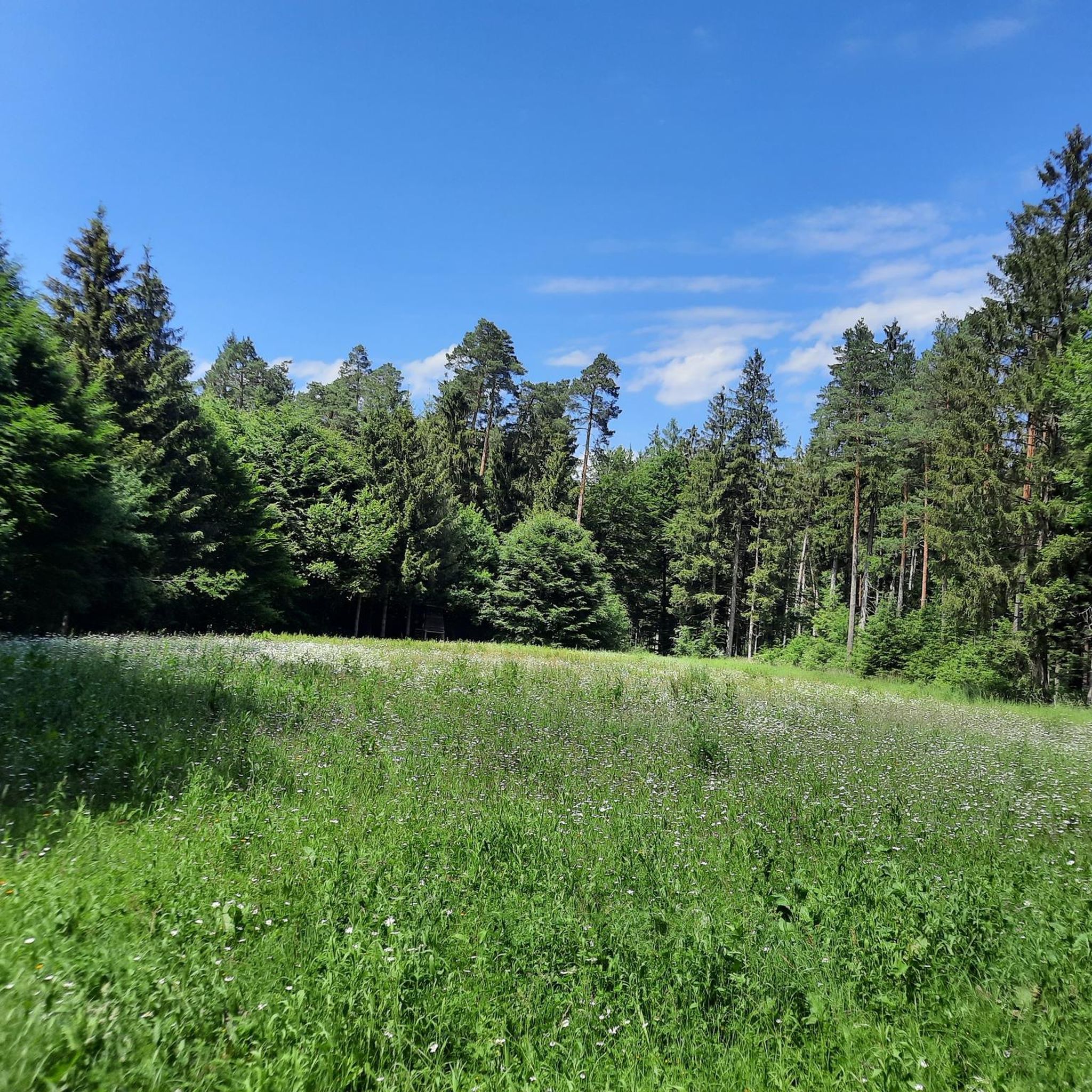
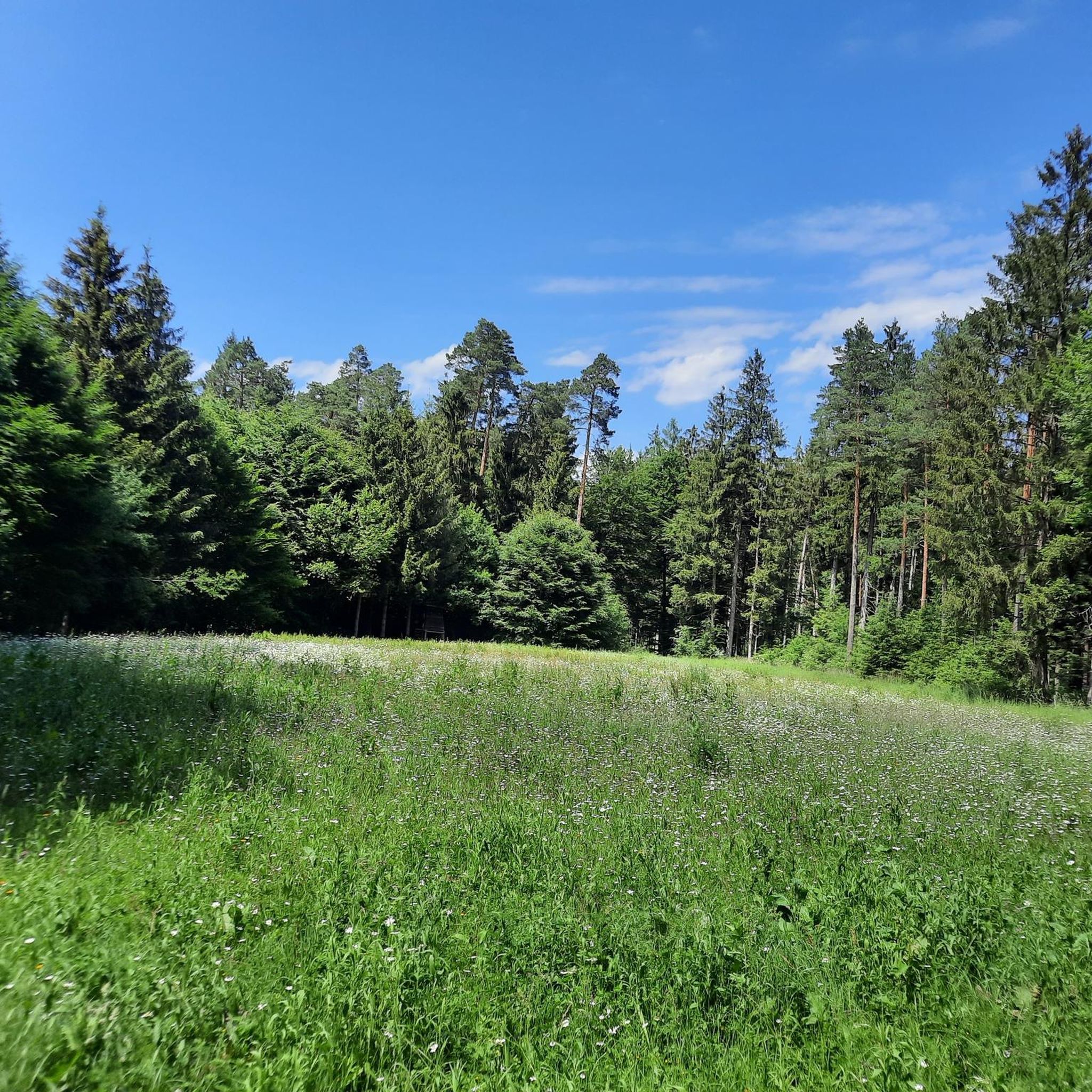
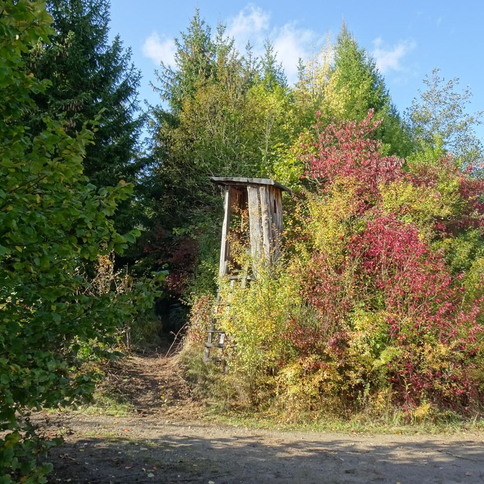
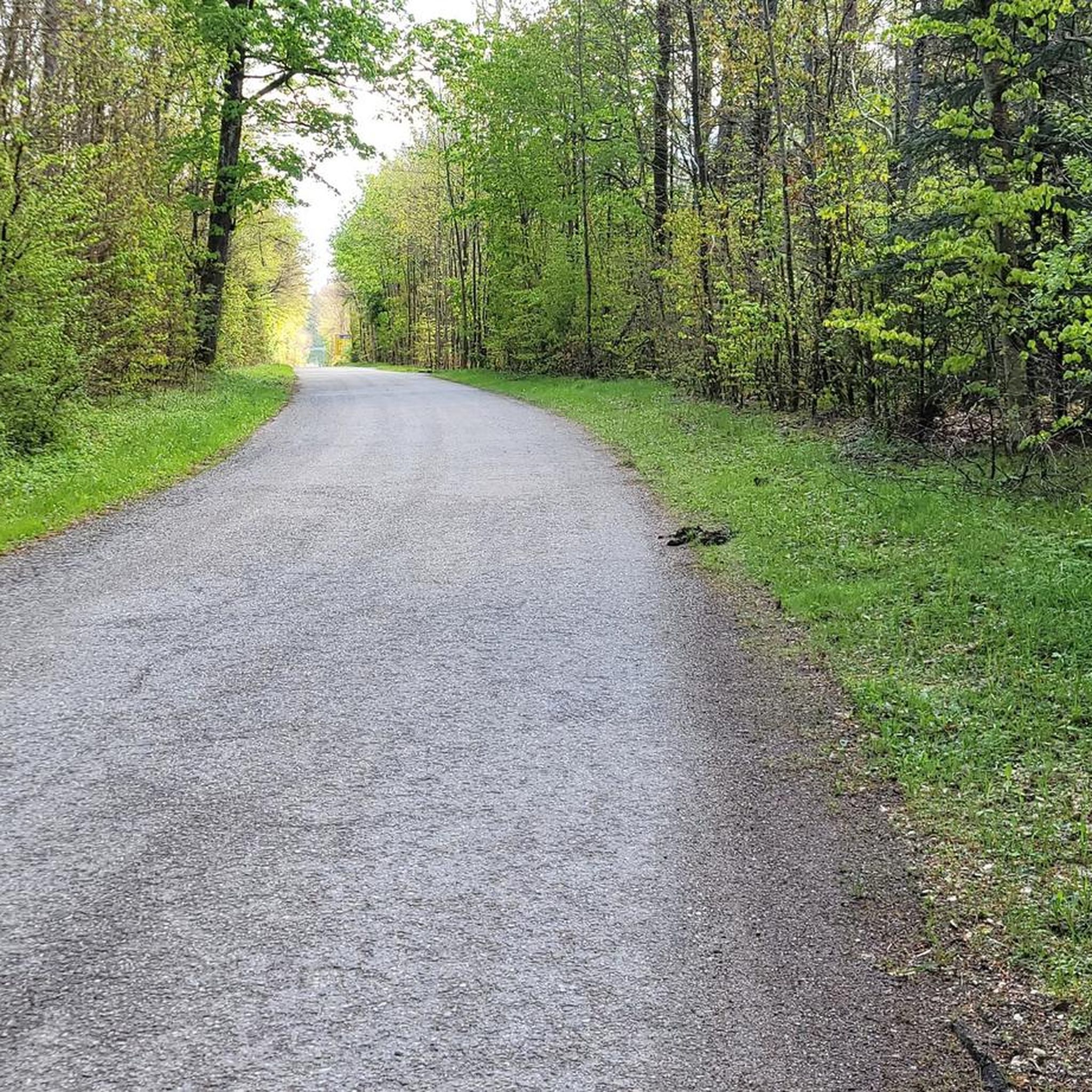
Touring cycling in Daxenthaler Forst features a landscape characterized by extensive forests, river valleys, and canals, providing varied terrain for cyclists. The region generally presents gentle gradients, with routes often following waterways and forest edges. This area offers a network of paths suitable for exploring both natural surroundings and local points of interest.
Best touring cycling routes in Daxenthaler Forst
- The most popular touring cycling route is Piesing Castle – Burghausen Fitness Trail loop from Haiming, a 12.5 miles…
Last updated: October 10, 2026
4.7
(16)
159
riders
20.2km
01:20
100m
100m
Easy bike ride. Great for any fitness level. Mostly paved surfaces. Suitable for all skill levels.
5.0
(6)
110
riders
17.5km
01:01
80m
80m
Easy bike ride. Great for any fitness level. Mostly paved surfaces. Suitable for all skill levels.

4.4
(5)
51
riders
70.2km
04:20
290m
290m
Moderate bike ride. Good fitness required. Mostly paved surfaces. Suitable for all skill levels.
3.7
(6)
17
riders
Easy bike ride. Great for any fitness level. Mostly paved surfaces. Suitable for all skill levels.
4.3
(3)
20
riders
36.2km
02:30
170m
170m
Hard bike ride. Good fitness required. You may need to push your bike for some segments of this route.
Get access to more routes and recommendations from other explorers.
Already have an account?
Our route recommendations are based on thousands of hikes, rides, and runs completed by other people on komoot.
Start today with a free account
Your next adventure awaits.
Tips from the Community

The fish doesn't let you go.
0
0

The landmark that probably everyone who comes here knows.
0
0

A very nice bike path
3
1
A very nice bike path
4
0

In 1260, the first bridge over the Inn was built on the orders of Duke Henry XIII. This wooden bridge was repeatedly destroyed in the following centuries by floods, gusts of wind, wars and fires. After the ice blast in January 1880 had torn away part of the wooden bridge that connected Braunau with Simbach, a steel truss bridge on brick pillars and abutments was built jointly by the Austrian and Bavarian governments between 1892 and 1894. This bridge was blown up at the end of the war in 1945. It was not until 1950 that the new bridge was built jointly by the Austrian and Bavarian governments through the Linz-based "VOEST". It is a so-called "deck bridge", i.e. the roadway is installed above the supporting structure so that there is a clear view in all directions. Length: around 272 m Road width: 7.50 m Two sidewalks: each 1.50 m wide. Source: https://www.oberoesterreich.at/oesterreich-poi/detail/401967/innbruecke-braunau-simbach.html
6
0

The Chapel Square is the spiritual center of Altötting. This is the meeting point for believers and pilgrims around the Chapel of Grace and the churches, which are surrounded by restaurants and shops.
16
0

Frequently Asked Questions
How many touring cycling routes are available in Daxenthaler Forst?
Daxenthaler Forst offers a wide selection of touring cycling routes, with over 500 options available on komoot. These routes cater to various skill levels, from easy to advanced.
What is the typical difficulty level of touring cycling routes in Daxenthaler Forst?
The routes in Daxenthaler Forst are quite varied. You'll find a good mix, with approximately 220 easy routes, 230 moderate routes, and around 80 more challenging options, ensuring there's something for every skill level.
Are there any family-friendly touring cycling routes in Daxenthaler Forst?
Yes, many routes in Daxenthaler Forst are suitable for families, especially those categorized as 'easy'. These often follow gentle gradients along river valleys and canals. A good example is the View of the Canal – Marktl am Inn loop from Schloss Piesing, which offers pleasant views and is easy to navigate.
What kind of scenery can I expect on the touring cycling routes in Daxenthaler Forst?
Daxenthaler Forst is characterized by extensive forests, tranquil river valleys, and scenic canals. Routes often weave through dense woodlands, follow the Inn River, or run alongside canals, offering a mix of natural beauty and glimpses of local points of interest.
Are there any circular touring cycling routes in Daxenthaler Forst?
Yes, many of the touring cycling routes in Daxenthaler Forst are designed as loops, making them convenient for day trips. For instance, the Piesing Castle – Burghausen Fitness Trail loop from Haiming is a popular circular route that passes by historic sites.
What is the best time of year for touring cycling in Daxenthaler Forst?
The spring, summer, and early autumn months generally offer the most pleasant conditions for touring cycling in Daxenthaler Forst. During these seasons, the weather is typically mild, and the natural scenery is at its most vibrant. Always check local weather forecasts before heading out.
Are there any routes that pass by historic sites or notable landmarks?
Yes, some routes incorporate historic sites. The Piesing Castle – Burghausen Fitness Trail loop from Haiming, for example, passes by historic sites and fitness trails. Other routes, like the Marktl am Inn – Inn River Cycle Path loop from Haiming, lead through charming towns such as Marktl am Inn.
What do other touring cyclists think about the routes in Daxenthaler Forst?
The touring cycling routes in Daxenthaler Forst are highly regarded by the komoot community, holding an average rating of 4.5 stars from over 2,000 reviews. Cyclists often praise the varied terrain, well-maintained paths, and the beautiful natural surroundings.
Are there any beginner-friendly touring cycling routes in Daxenthaler Forst?
Absolutely. Daxenthaler Forst has a significant number of easy routes, perfect for beginners or those looking for a relaxed ride. The Marktl am Inn – Gasthaus Bonimeier loop from Marktl is an easy option that offers a pleasant experience through the local landscape.
What are the typical lengths of touring cycling routes in Daxenthaler Forst?
Route lengths vary, but many popular touring cycling routes in Daxenthaler Forst range from 10 to 16 miles (16 to 26 km). For example, the Burghausen Fitness Trail – View of the Canal loop from Grünes Kreuz is about 9 miles (14.5 km) long, offering a shorter option.
Is public transport accessible near the touring cycling trailheads in Daxenthaler Forst?
While specific public transport connections to every trailhead are not detailed, the region is generally accessible. It's advisable to check local bus or train schedules for connections to towns like Haiming or Marktl am Inn, which serve as common starting points for many routes.
Are there opportunities to see wildlife while touring cycling in Daxenthaler Forst?
Given the extensive forests and river valleys, Daxenthaler Forst offers opportunities to observe local wildlife. Cyclists might spot various bird species, small mammals, and other forest inhabitants, especially during quieter times of day or on less frequented paths.
Most popular routes in Daxenthaler Forst

Get inspired with the komoot mobile app


Explore more
Browse the best Cycling routes in other regions.
