The best running trails in Waxenberger Hofwald
4.6
(85)
2,477
runners
308
runs
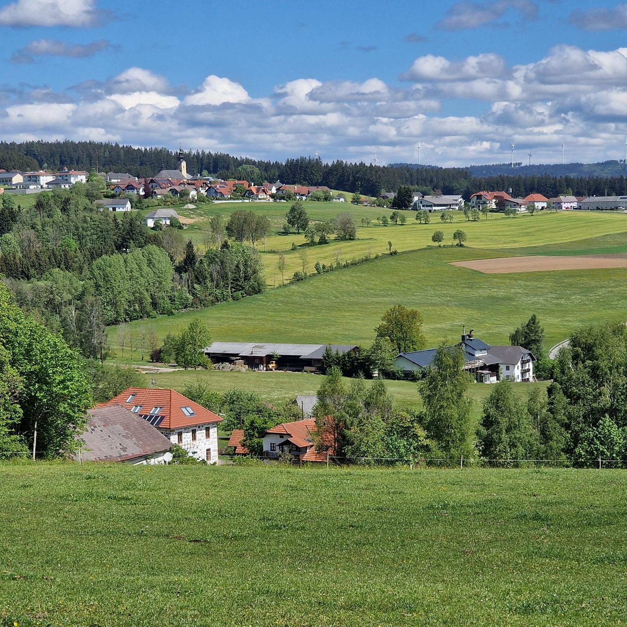
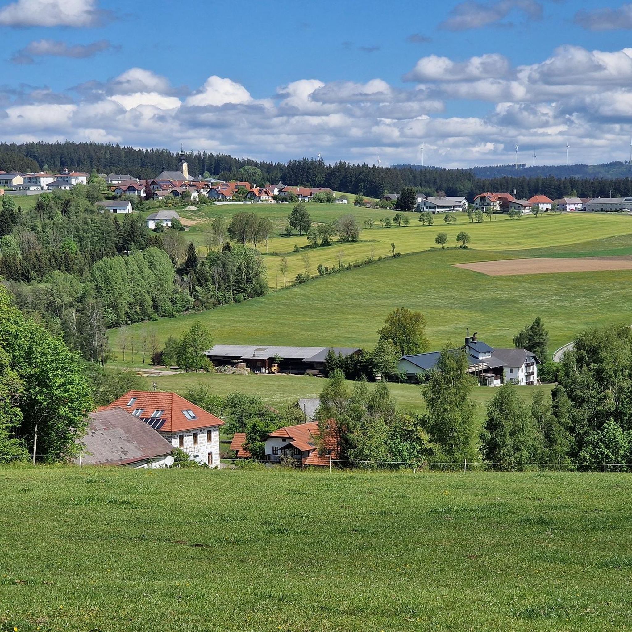
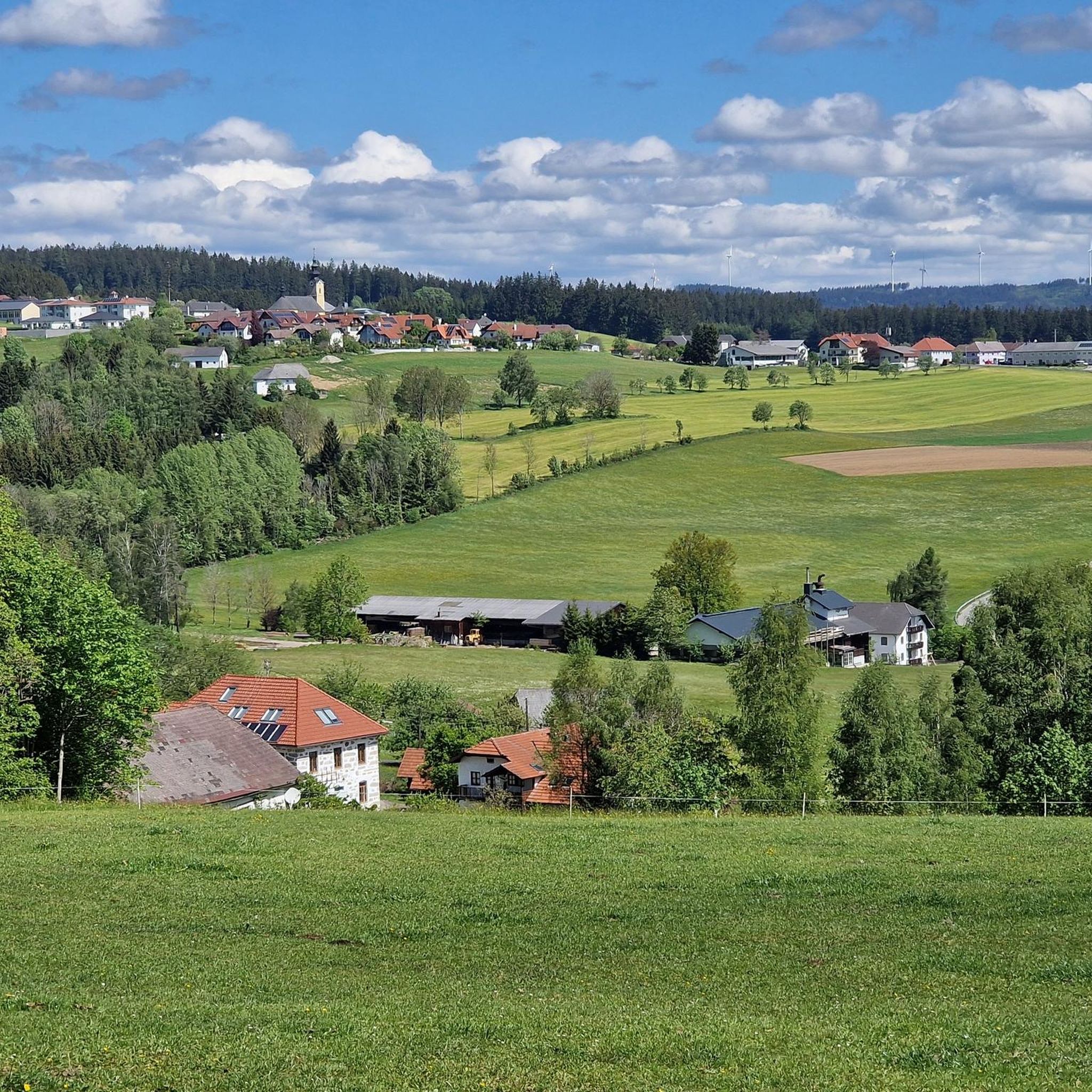
Jogging in Waxenberger Hofwald offers a diverse and well-maintained network of routes through picturesque landscapes. The region features a mix of meadow and forest paths, providing varied terrain for runners. Notable natural elements include distinctive geological rock formations and charming landscape ponds. The area's topography ranges from routes with minimal elevation gain to more challenging trails with significant ascents.
Best jogging routes in Waxenberger Hofwald
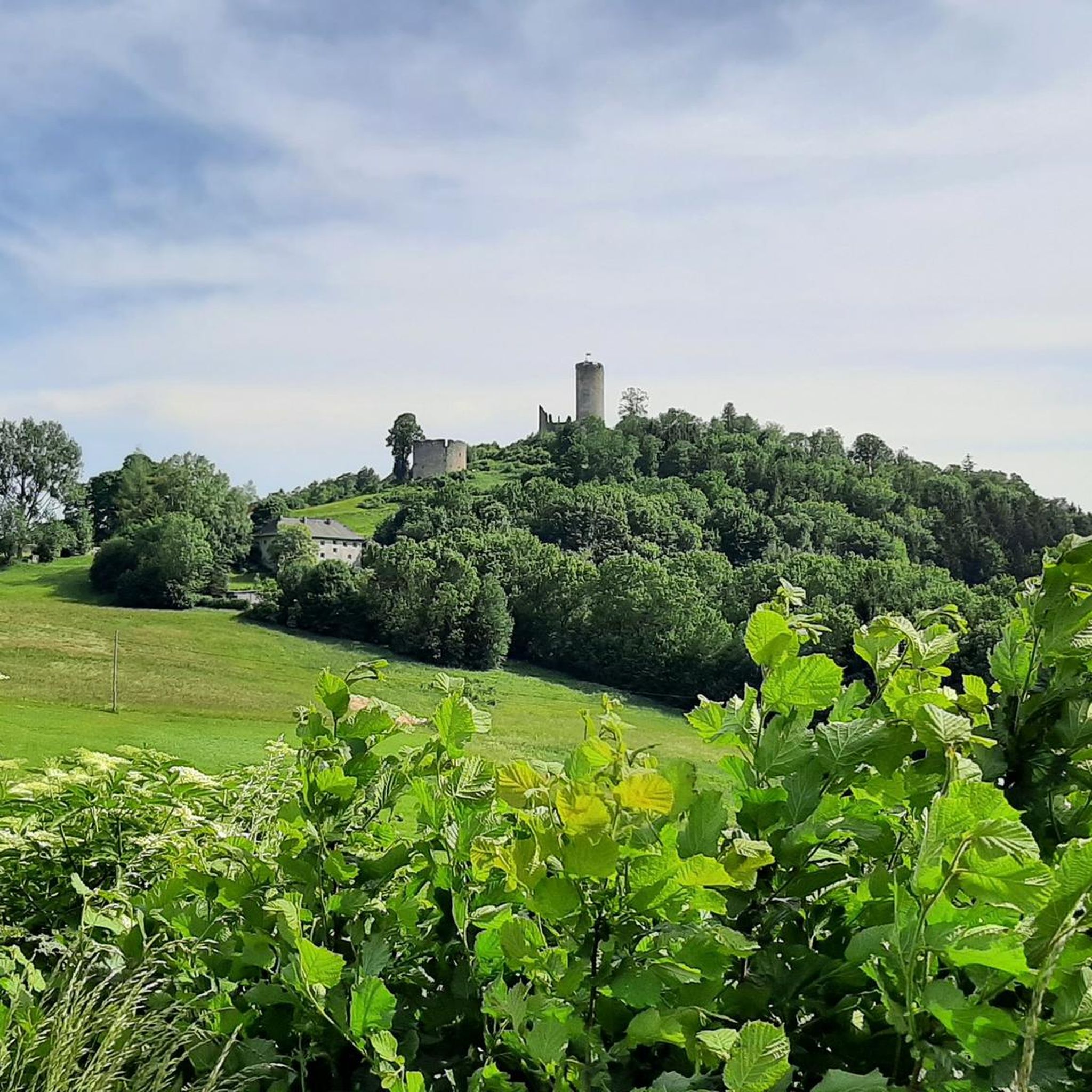
- The most popular jogging route is Waxenberg – Landhotel Atzmüller loop from Burgruine Waxenberg, a 3.8 miles (6.0 km) trail that takes 43 minutes to complete. This route offers views of the Waxenberg ruin and traverses varied terrain.
- Another top favourite among local runners is Running loop from Unterwaldschlag, a moderate 5.0 miles (8.1 km) path. It leads through a charming landscape with a mix of forest and open areas.
- Local runners also love the Running loop from Oberneukirchen, a 3.0 miles (4.8 km) trail leading through varied meadow and forest paths, often completed in about 32 minutes.
- Jogging in Waxenberger Hofwald is defined by its varied terrain, including geological rock formations, forest paths, and open meadows. The network offers options for different ability levels, from easy tracks to more challenging trails.
- The routes in Waxenberger Hofwald are highly rated by the komoot community with an average score of 4.6 stars from over 60 reviews. More than 2,400 runners have used komoot to explore Waxenberger Hofwald's varied terrain.
Last updated: July 2, 2026
5.0
(2)
22
runners
6.05km
00:43
140m
130m
Moderate run. Good fitness required. Mostly paved surfaces. Suitable for all skill levels.
10
runners
8.09km
00:54
130m
130m
Moderate run. Good fitness required. Mostly paved surfaces. Suitable for all skill levels.

Sign up for free
5.0
(3)
7
runners
4.82km
00:32
80m
80m
Easy run. Great for any fitness level. Mostly paved surfaces. Suitable for all skill levels.
6
runners
7.23km
00:48
160m
160m
Moderate run. Good fitness required. Mostly paved surfaces. Suitable for all skill levels.
5
runners
7.46km
00:47
90m
90m
Moderate run. Good fitness required. Mostly paved surfaces. Suitable for all skill levels.
Get access to more routes and recommendations from other explorers.
Sign up for free
Already have an account?
Our route recommendations are based on thousands of hikes, rides, and runs completed by other people on komoot.
Start today with a free account
Your next adventure awaits.
Login or Signup


Tips from the Community


After its renovation, Starhemberg Castle, built in the 16th century, is the focus of a wide range of cultural and tourist activities.
1
0

Towards the end of a tour, for those for whom it is not enough, we recommend the ascent from Zwettl an der Rodl to Sonnberg near Hellmonsödt.
2
1

Frequently Asked Questions
How many running routes are available in Waxenberger Hofwald?
Waxenberger Hofwald offers a comprehensive network of over 300 running routes. This includes a variety of options, from easy paths to more challenging trails, ensuring there's something for every runner.
What kind of terrain can I expect on the jogging trails in Waxenberger Hofwald?
The terrain in Waxenberger Hofwald is quite varied, featuring a mix of meadow and forest paths. You'll encounter distinctive geological rock formations, charming landscape ponds, and diverse topography, providing an engaging experience for runners.
Are there running routes suitable for beginners or those looking for an easy jog?
Yes, Waxenberger Hofwald has routes suitable for all fitness levels, including easy tracks perfect for beginners. For example, the Running loop from Oberneukirchen is an easy 3.0-mile (4.8 km) trail that takes about 32 minutes to complete.
What do other runners say about the trails in Waxenberger Hofwald?
The running routes in Waxenberger Hofwald are highly regarded by the komoot community, with an average rating of 4.6 stars from over 60 reviews. Runners often praise the varied terrain, picturesque landscapes, and well-maintained paths that make each run a unique experience.
Are there any circular jogging routes in the area?
Yes, many of the running paths in Waxenberger Hofwald are designed as loops, offering convenient circular routes. Popular options include the Waxenberg – Landhotel Atzmüller loop from Burgruine Waxenberg and the Running loop from Unterwaldschlag.
What natural features or landmarks can I see while jogging in Waxenberger Hofwald?
While jogging, you can discover several interesting features. The region is known for its distinctive geological rock formations, including moss-covered granite stones. You might also encounter charming landscape ponds and the historic Waxenberg ruin, which offers worthwhile views.
Are the jogging routes in Waxenberger Hofwald family-friendly?
Many of the trails, particularly the easier and shorter loops, are suitable for families. The varied terrain and scenic beauty make for an enjoyable outing for all ages. Consider routes with minimal elevation gain for a more relaxed family experience.
Are dogs allowed on the jogging trails in Waxenberger Hofwald?
Generally, dogs are welcome on the trails in Waxenberger Hofwald. However, it's always recommended to keep your dog on a leash, especially in areas with wildlife or near agricultural land, and to clean up after them to maintain the natural environment for everyone.
Is parking available near the trailheads for running routes?
Yes, parking is typically available near popular starting points for the running routes. For specific parking information, it's advisable to check the details of individual routes on komoot, as some may have designated parking areas.
What are the typical distances and elevation gains for running in this area?
Running routes in Waxenberger Hofwald vary significantly. Distances can range from under 5 kilometers with minimal elevation gain (up to 100 meters) to over 15 kilometers with more significant ascents (over 300 meters). This diversity allows you to choose a route that matches your desired challenge.
Are there any cafes or places to eat near the jogging routes in Waxenberger Hofwald?
While specific cafes directly on the trails are rare, the broader Waxenberger Hofwald area, including nearby towns like Waxenberg, offers options for refreshments and meals. You might find local inns or restaurants where you can refuel after your run.
Do I need any permits for jogging in Waxenberger Hofwald?
No, generally, you do not need any special permits for jogging or running on the public trails in Waxenberger Hofwald. The trails are freely accessible for outdoor activities.
Most popular routes in Waxenberger Hofwald

Get inspired with the komoot mobile app


Explore more
Browse the best Running Trails & Routes in other regions.
