The best walks and hikes in Kobernaußerwald
4.5
(802)
4,803
hikers
380
hikes
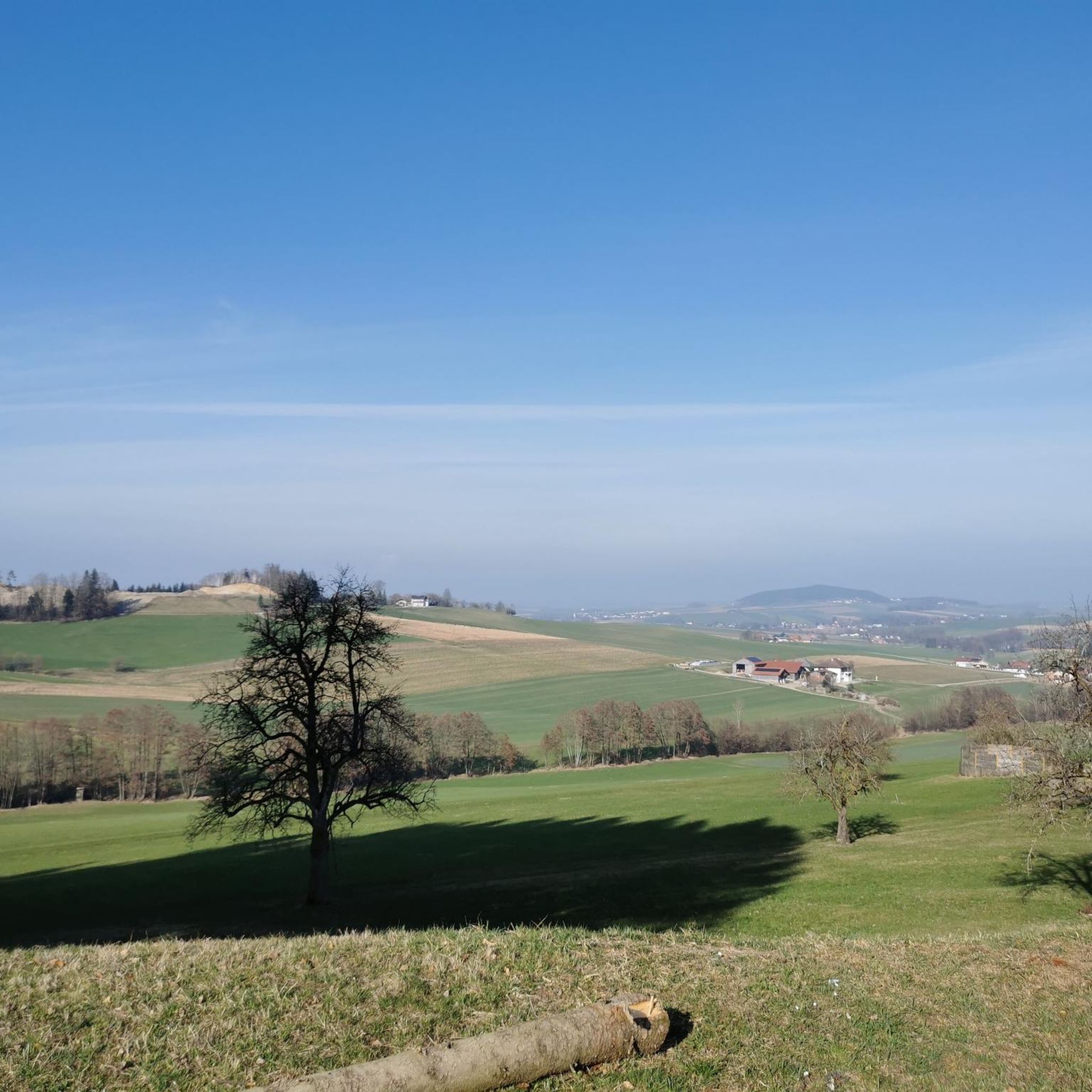
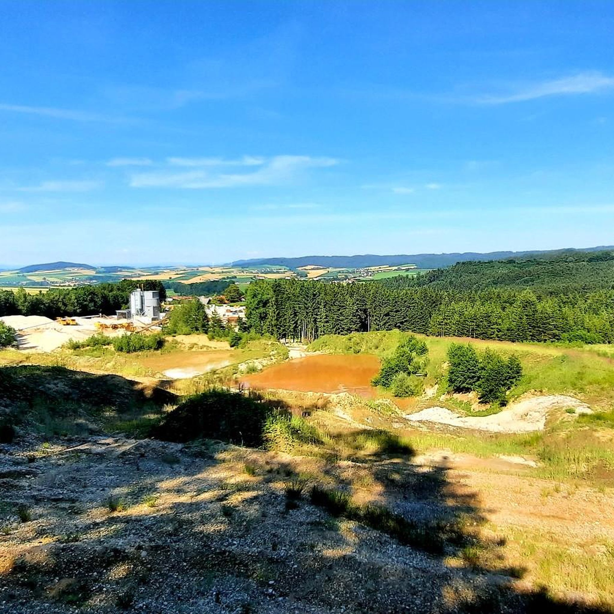
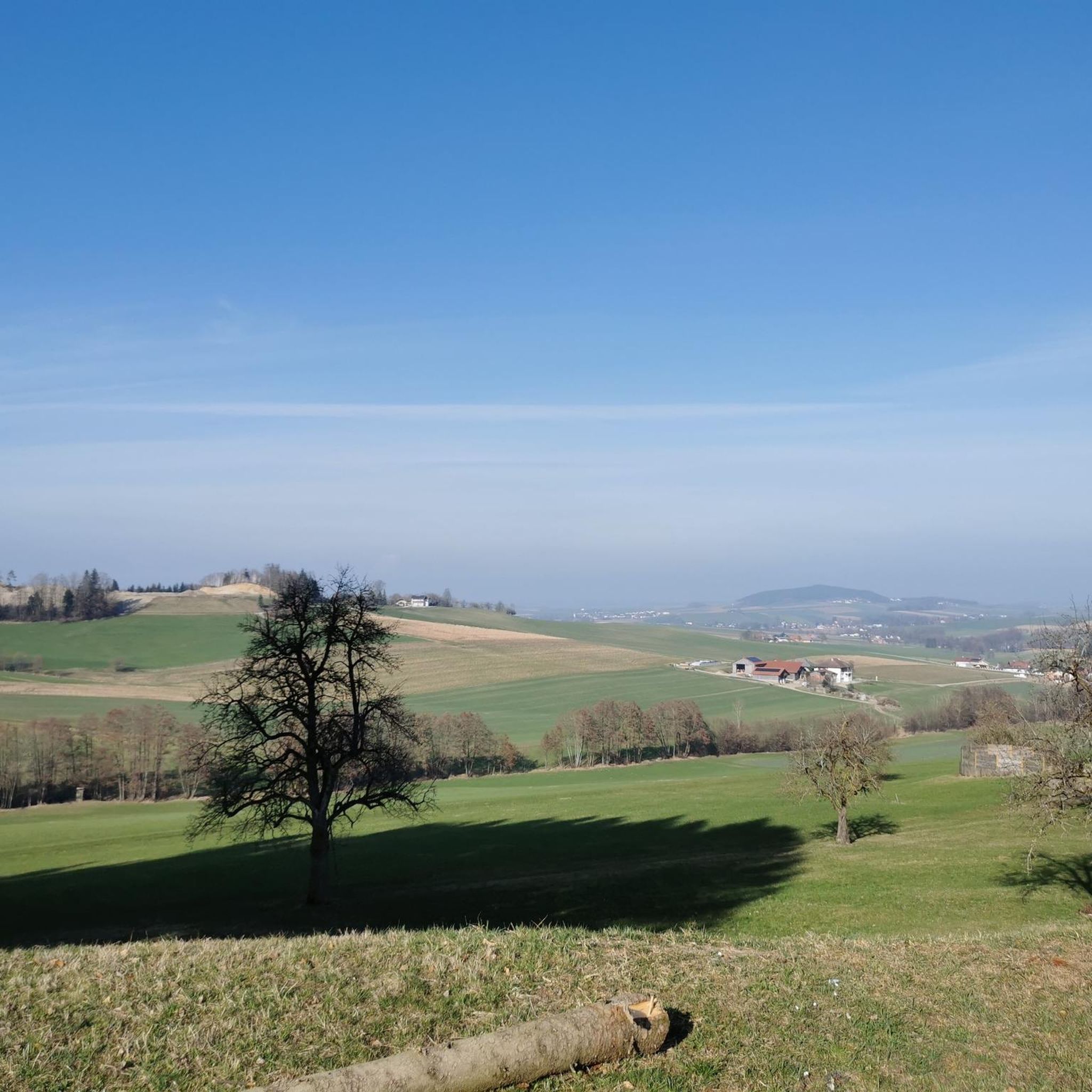
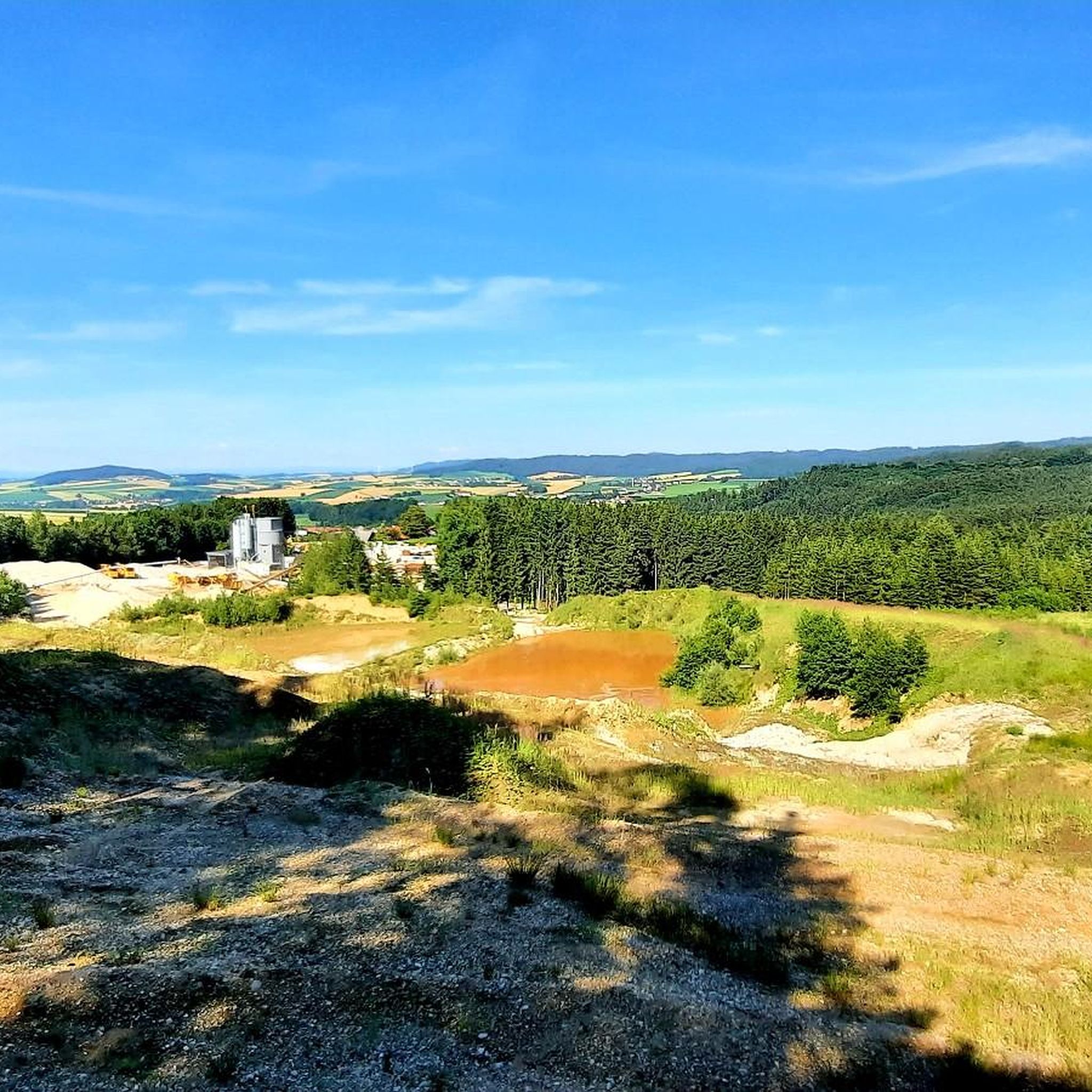
Hiking in Kobernaußerwald offers diverse landscapes within a low mountain range in the Alpine foothills of Austria. The region is characterized by rolling hills and an extensive, predominantly coniferous forest, forming a broad gravel plateau. Numerous watercourses originate within this area, contributing to its natural features. Steiglberg, at 767 meters, marks the highest point in Kobernaußerwald.
Best hiking trails in Kobernaußerwald
- The most popular hiking route is Hengstn Memorial loop from Hausruckwald, a 2.8 miles (4.6 km) trail that…
Last updated: June 28, 2026
3.5
(2)
8
hikers
4.58km
01:13
50m
50m
Easy hike. Great for any fitness level. Easily-accessible paths. Suitable for all skill levels.
4.5
(2)
7
hikers
8.33km
02:18
140m
140m
Moderate hike. Good fitness required. Easily-accessible paths. Suitable for all skill levels.

Sign up for free
5.0
(2)
5
hikers
4.34km
01:15
110m
110m
Easy hike. Great for any fitness level. Easily-accessible paths. Suitable for all skill levels.
2
hikers
9.48km
02:41
220m
220m
Moderate hike. Good fitness required. Easily-accessible paths. Suitable for all skill levels.
3
hikers
6.40km
01:50
160m
160m
Easy hike. Great for any fitness level. Easily-accessible paths. Suitable for all skill levels.
Get access to more routes and recommendations from other explorers.
Sign up for free
Already have an account?
Our route recommendations are based on thousands of hikes, rides, and runs completed by other people on komoot.
Start today with a free account
Your next adventure awaits.
Login or Signup
Tips from the Community

Great route with many information boards about the history of Franz and his songs and poems,
0
0

Great tips and information to make you want to visit this place. Thank you for that!
1
0

Very nice vantage point in the Innviertel
0
0
Highest point of Schildorn.
0
0

A unfortunately very overgrown driveway and little view to and from the cross.
2
0

A summit cross that is decorated again and again
2
0
Nice garden with some benches where you can relax
1
0
Nice rest area with summit cross and summit book
2
0
Frequently Asked Questions
How many hiking trails are available in Kobernaußerwald?
Kobernaußerwald offers a wide selection of routes, with nearly 400 hiking trails recorded on komoot. This includes 180 easy routes, 200 moderate trails, and 9 more challenging options, catering to various fitness levels.
What kind of terrain can I expect when hiking in Kobernaußerwald?
The region is characterized by rolling hills and an extensive, predominantly coniferous forest, forming a broad gravel plateau. You'll find diverse landscapes, from serene forest paths to areas with numerous watercourses. The highest point is Steiglberg at 767 meters.
Are there any family-friendly hiking options in Kobernaußerwald?
Yes, Kobernaußerwald offers many easy trails suitable for families. The region is known for its themed trails with interactive stations that educate children about local flora, fauna, and history, making hikes engaging for all ages. Many of the 180 easy routes are perfect for family outings.
What are some notable natural features or landmarks to see while hiking?
Hikers can explore several natural highlights. The Steiglberg, the highest point, features the Kobernaußerwaldwarte viewing tower with expansive vistas. Another impressive sight is the "Giant Fir" in the Weißenbachtal, one of Austria's largest fir trees, accessible via a short trail. Haugstein also offers breathtaking views of the Alpine foothills.
What is the best time of year to go hiking in Kobernaußerwald?
The best seasons for hiking in Kobernaußerwald are spring, summer, and autumn. During these times, the weather is mild, plants are in bloom, and the shady forest paths offer refreshment. Autumn is particularly beautiful with its vibrant foliage. The forest's calming effect is beneficial year-round.
Are there any circular hiking routes in Kobernaußerwald?
Yes, many routes in Kobernaußerwald are designed as loops. For example, the Hiking loop from Oberegg is an easy 6.4 km trail. The Panorama Trail around Lohnsburg also offers splendid circular views of the surrounding landscape and the Innviertel lake district.
What do other hikers say about Kobernaußerwald trails?
The trails in Kobernaußerwald are highly rated by the komoot community, with an average score of 4.6 stars from over 700 reviews. Hikers often praise the tranquil forest experiences, the well-marked paths, and the diverse scenery that makes each route unique.
Are there any trails that offer panoramic views?
Yes, several trails provide excellent panoramic views. The Kronawitten Viewpoint Bench – Hengstn Memorial loop from Hausruckwald offers specific viewpoints over the surrounding forest. Additionally, the Panorama Trail around Lohnsburg provides magnificent views of the picturesque Innviertel lake district.
Are there any longer, more challenging hikes available?
While Kobernaußerwald is known for its extensive forest and rolling hills, there are options for longer, more challenging hikes. For instance, the Göblberg Observation Tower – Hamingerhöhe loop from Hausruckwald is a moderate 12.4 km route with significant elevation gain, offering a more strenuous experience.
What is the highest point in Kobernaußerwald and can I hike to it?
The highest point in Kobernaußerwald is Steiglberg, standing at 767 meters above sea level. It features the Kobernaußerwaldwarte, a viewing tower that offers expansive vistas. While specific routes to the very summit are not detailed here, many trails in the region will lead you through its vicinity and offer similar elevated views.
Can I find trails that lead to water features or rivers?
Kobernaußerwald is notable as the source of numerous watercourses, so many trails will lead you alongside or across small streams and rivers. The extensive forest environment ensures a refreshing experience with natural water elements throughout the region.
Are there any unique flora to look out for in Kobernaußerwald?
Yes, the western edge of Kobernaußerwald is particularly special as it is the only place in Austria where heather St. John's wort (Hypericum pulchrum) can be found. Keep an eye out for this unique plant during your hikes.
Most popular routes in Kobernaußerwald

Get inspired with the komoot mobile app


Explore more
Browse the best Hikes in other regions.
