The best mountain hikes in Kaiserwald/Auwald
4.7
(520)
7,723
hikers
69
hikes
Mountaineering in Kaiserwald/Auwald offers diverse terrain, ranging from alpine landscapes with notable peaks to areas influenced by floodplain forests. The region is characterized by significant elevation changes, featuring rocky alpine tracks and dense woodlands. Mountaineers can expect a variety of natural features, including impressive rock formations and diverse ecosystems. This combination provides a range of challenges and scenic routes for different skill levels.
Best mountaineering routes in Kaiserwald/Auwald
- The most popular mountaineering route is View of Lake Attersee – Großer…
Last updated: July 1, 2026
4.8
(45)
532
hikers
10.7km
04:34
670m
670m
Moderate mountaineering route. Good fitness required. Mostly accessible paths. Sure-footedness required.
4.8
(13)
191
hikers
11.9km
06:36
1,110m
1,110m
Hard mountaineering route. Very good fitness required. Sure-footedness, sturdy shoes and alpine experience required.

Sign up for free
4.8
(4)
59
hikers
12.1km
06:42
1,120m
1,120m
Hard mountaineering route. Very good fitness required. Sure-footedness, sturdy shoes and alpine experience required.
5.0
(1)
46
hikers
9.77km
03:34
620m
620m
Moderate mountaineering route. Good fitness required. Easily-accessible paths. Suitable for all skill levels.
5.0
(5)
37
hikers
8.00km
06:27
1,040m
1,040m
Hard mountaineering route. Very good fitness required. Sure-footedness, sturdy shoes and alpine experience required.
Get access to more routes and recommendations from other explorers.
Sign up for free
Already have an account?
Our route recommendations are based on thousands of hikes, rides, and runs completed by other people on komoot.
Start today with a free account
Your next adventure awaits.
Login or Signup
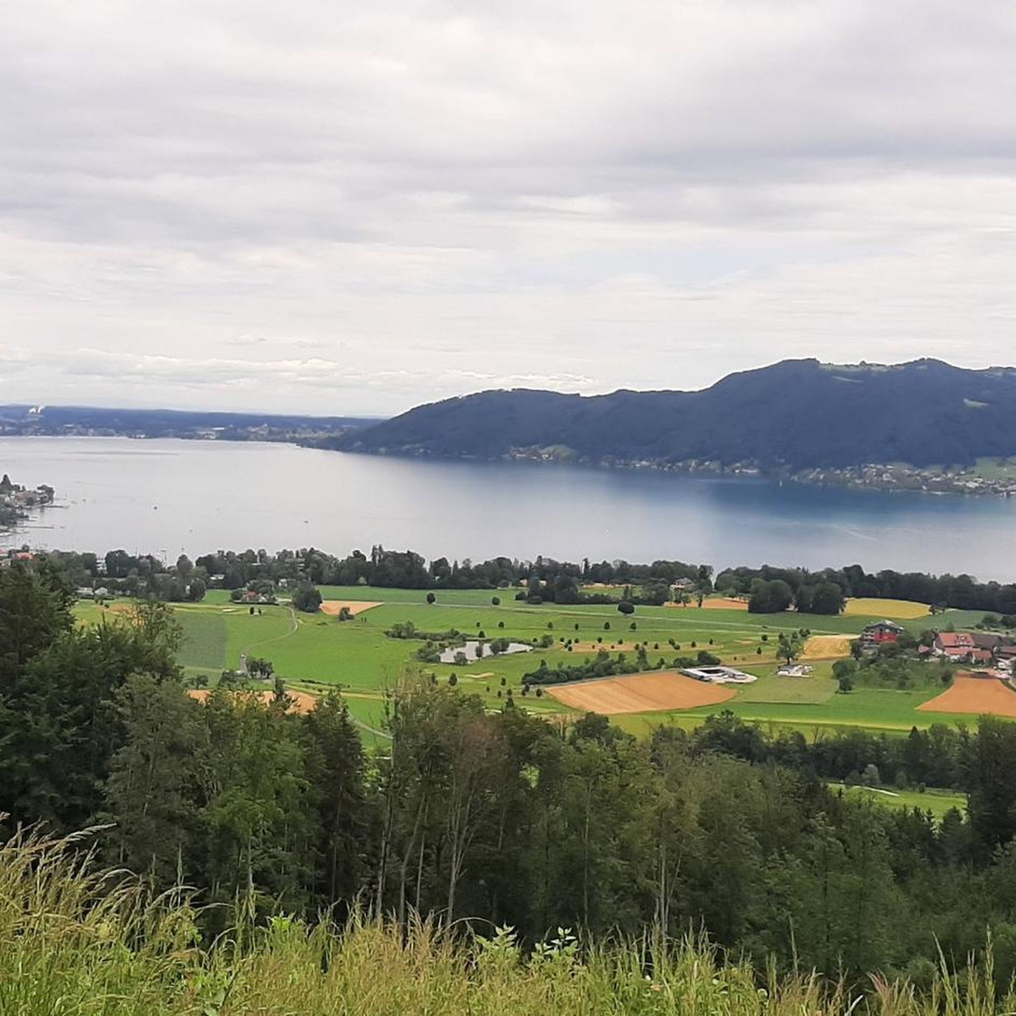
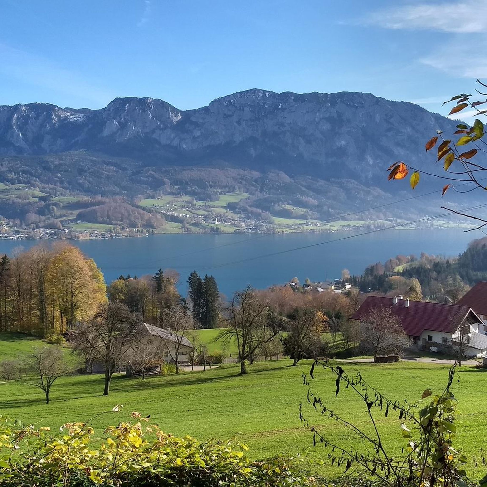
Other adventures in Kaiserwald/Auwald

Tips from the Community

Start the ascent early, otherwise there will be no space at the summit cross. Very popular. Parking available but payable. (4 - 6 €) Kleiner Schoberstein is no longer an officially marked or secured path. Rock is very crumbly and loose. No safety equipment, not without danger. Recommended only for very skilled/experienced mountaineers.
0
0


A very beautiful via ferrata whose fitness level should not be underestimated. Anyone who finds the entry (D/E) a challenge should not proceed any further! The partially exposed via ferrata offers magnificent views of Lake Attersee from start to finish over 1,200 meters of climbing. The crux (D) (small overhang) is approximately halfway through. After a somewhat steeper final wall, the exit is right next to the summit. A very successful via ferrata.
1
0

Great tour, very nice hike with a great panorama, always beautiful views of the Attersee, Irrsee, etc. A bit strenuous but highly recommended!
2
0


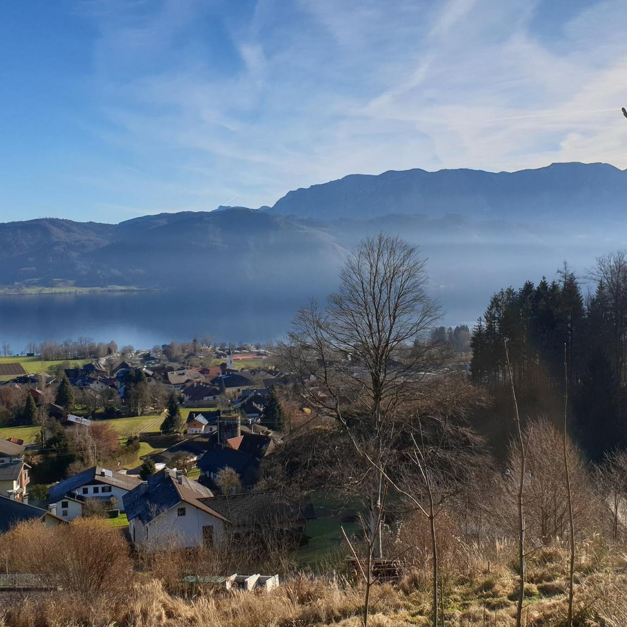
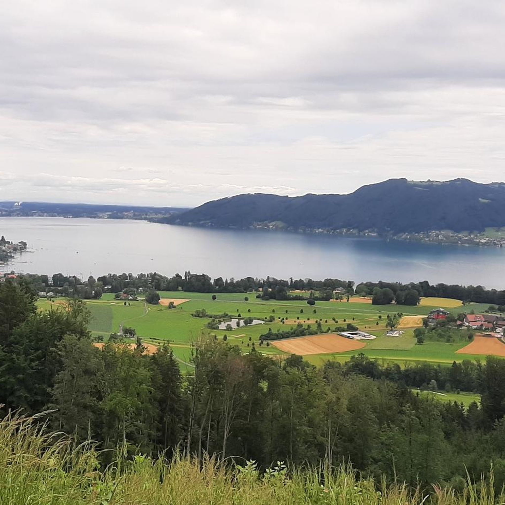
From the hiking trail on the Mahdlschneid ridge you have a breathtaking view of Lake Attersee and the surrounding mountains.
1
0

only suitable for hikers/climbers with a head for heights
0
0
Frequently Asked Questions
What kind of terrain and natural features can I expect on mountaineering routes in Kaiserwald/Auwald?
Mountaineering in Kaiserwald/Auwald offers a diverse landscape. You'll encounter alpine terrain with notable peaks, impressive rock formations, and significant elevation changes, characteristic of the Wilder Kaiser region. There are also areas influenced by floodplain forests (Auwald), which contribute to dense woodlands and varied ecosystems. Expect a mix of rocky alpine tracks and forest paths.
How many mountaineering routes are available in Kaiserwald/Auwald?
There are over 70 mountaineering routes available in Kaiserwald/Auwald, catering to a wide range of skill levels. You'll find everything from moderate paths to challenging ascents.
Are there any easier mountaineering routes for beginners in Kaiserwald/Auwald?
Yes, while many routes are challenging, there are options for those seeking a less strenuous experience. For example, the View of Lake Attersee – Großer Schoberstein loop from Weißenbach am Attersee is a moderate 6.5-mile (10.4 km) path featuring varied terrain with views towards Lake Attersee.
What are some notable viewpoints or natural landmarks I can see along the routes?
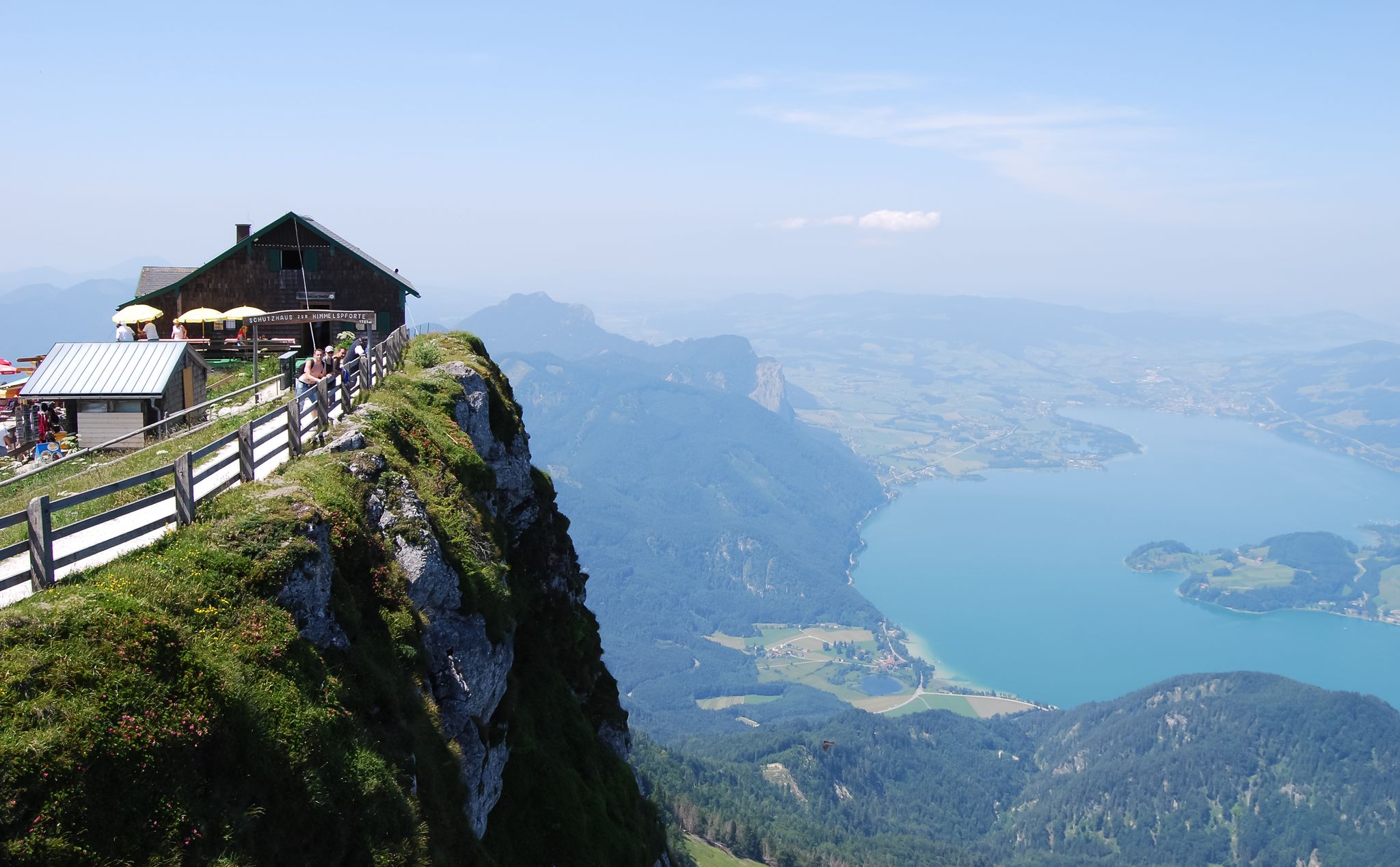
The region offers stunning vistas. You can find highlights like the Place of Happiness "Pfarrer Salettl", the View of the Attersee from Reither Gupf, and the View of Lake Mondsee and Dachstein Mountains. These offer panoramic views of the surrounding lakes and alpine scenery.
Are there any circular mountaineering routes in Kaiserwald/Auwald?
Yes, many of the mountaineering routes in Kaiserwald/Auwald are circular, allowing you to start and end at the same point. Examples include the challenging View of Lake Attersee – Großer Schoberstein loop from Seefeld and the demanding Dachsteinblick Summit – Mahdlgupf Summit loop from Weißenbach am Attersee.
What is the best time of year for mountaineering in Kaiserwald/Auwald?
The warmer months, typically late spring to early autumn, are ideal for mountaineering in Kaiserwald/Auwald. During this time, trails are generally clear of snow, and the weather is more stable. However, the region also offers opportunities for winter activities like ski tours and snowshoe hikes away from busy resorts.
Are there any family-friendly mountaineering options in Kaiserwald/Auwald?
While many mountaineering routes are challenging, some moderate paths might be suitable for families with older children who have some hiking experience. Always check the difficulty and length of a route before setting out. The diverse terrain means there are gentler forest paths available, especially in areas influenced by the Auwald.
Can I bring my dog on the mountaineering trails in Kaiserwald/Auwald?
Many trails in natural areas are dog-friendly, but it's always advisable to check specific route regulations or local signage. Ensure your dog is well-behaved, kept on a leash where required, and that you carry waste bags. Be mindful of alpine conditions and potential wildlife.
What kind of infrastructure, like huts or places to eat, can I find along the routes?
The Wilder Kaiser region, which influences Kaiserwald/Auwald, boasts excellent alpine infrastructure. You'll find well-marked trails and numerous refuges and managed alpine pasture huts, such as the Schindlbaumstub'm Lumberjack Hut, where you can often find refreshments and sometimes accommodation.
How difficult are the mountaineering routes in Kaiserwald/Auwald?
The routes in Kaiserwald/Auwald range significantly in difficulty. Out of 74 total routes, 2 are easy, 25 are moderate, and 47 are difficult. This means there are options for various skill levels, from experienced mountaineers seeking a challenge to those looking for a more accessible alpine experience.
What do other mountaineers say about their experience in Kaiserwald/Auwald?
The area is highly rated by the komoot community, with an average score of 4.7 stars from over 500 reviews. Mountaineers often praise the diverse terrain, the stunning views of lakes like Attersee and Mondsee, and the well-maintained paths that lead through both dense forests and rocky alpine landscapes.
Most popular routes in Kaiserwald/Auwald
Most popular attractions in Kaiserwald/Auwald

Get inspired with the komoot mobile app


Explore more
Browse the best Mountain Hikes & Routes in other regions.
