The best mountain hikes in Rannberg
4.7
(565)
6,705
hikers
106
hikes
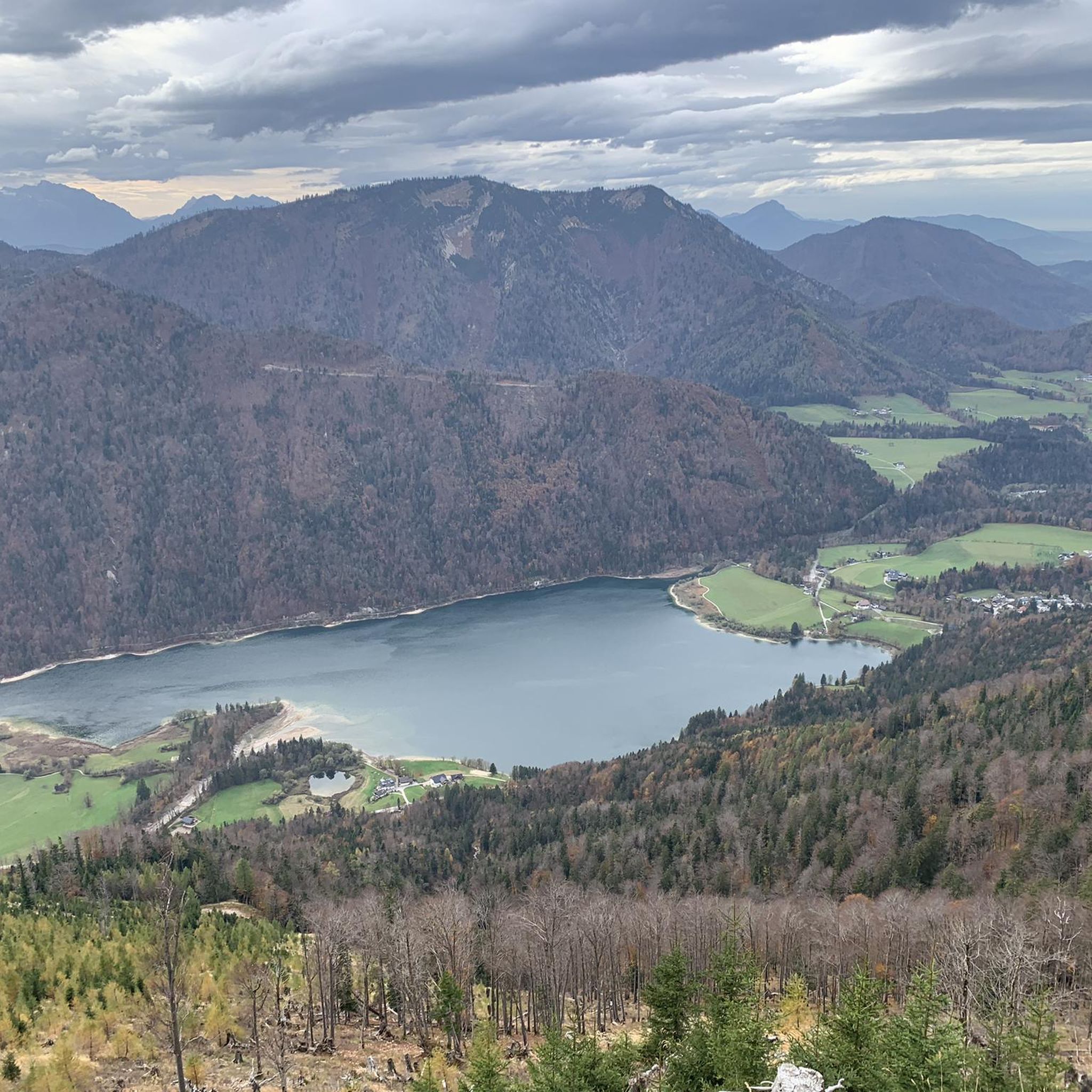
Mountaineering routes in Rannberg are situated within the Salzkammergut Mountains of Austria. This region features densely wooded hills, with Rannberg itself rising to 4,482 feet (1,366 meters). While appearing forested from a distance, the summits often provide extensive panoramic views, making them rewarding destinations for mountaineers. The area also transforms for winter activities like snowshoeing, showcasing its varied alpine landscape.
Best mountaineering routes in Rannberg
- The most popular mountaineering route is Filbling Summit Cross loop from Faistenau, a 5.7…
Last updated: October 18, 2026
4.0
(2)
10
hikers
9.10km
03:24
550m
550m
Moderate mountaineering route. Good fitness required. Mostly accessible paths. Sure-footedness required.
4.0
(1)
13
hikers
16.3km
05:40
830m
830m
Hard mountaineering route. Very good fitness required. Easily-accessible paths. Suitable for all skill levels.

9
hikers
15.3km
05:35
880m
880m
Hard mountaineering route. Very good fitness required. Easily-accessible paths. Suitable for all skill levels.
5
hikers
4.67km
01:14
40m
40m
Easy mountaineering route. Great for any fitness level. Easily-accessible paths. Suitable for all skill levels.
4.6
(5)
142
hikers
8.25km
03:30
660m
660m
Moderate mountaineering route. Good fitness required. Mostly accessible paths. Sure-footedness required.
Get access to more routes and recommendations from other explorers.
Already have an account?
Our route recommendations are based on thousands of hikes, rides, and runs completed by other people on komoot.
Start today with a free account
Your next adventure awaits.

Tips from the Community

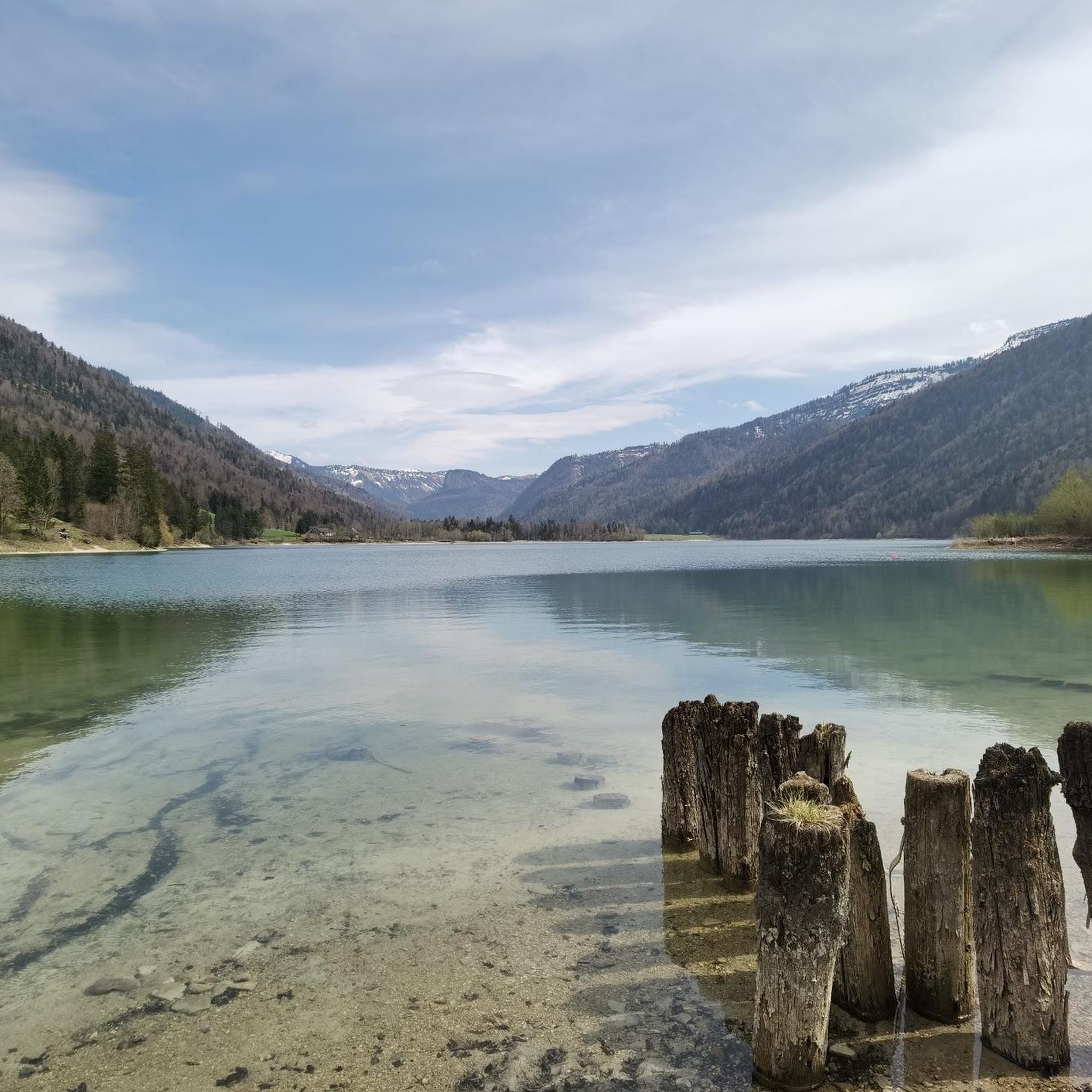
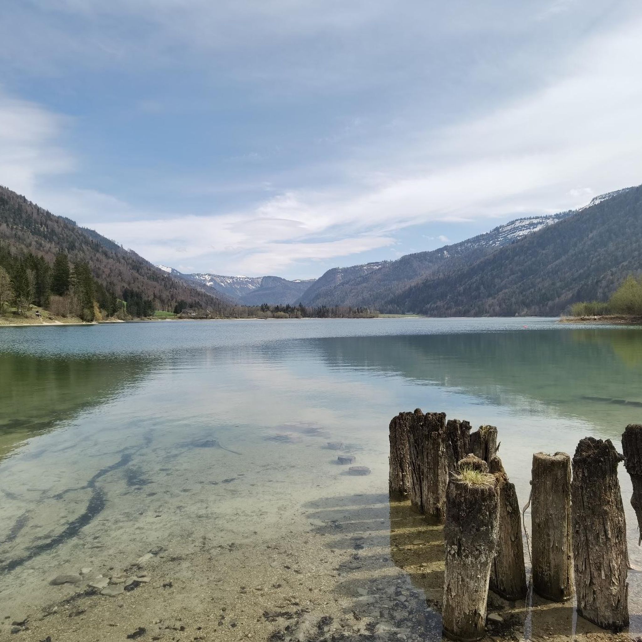
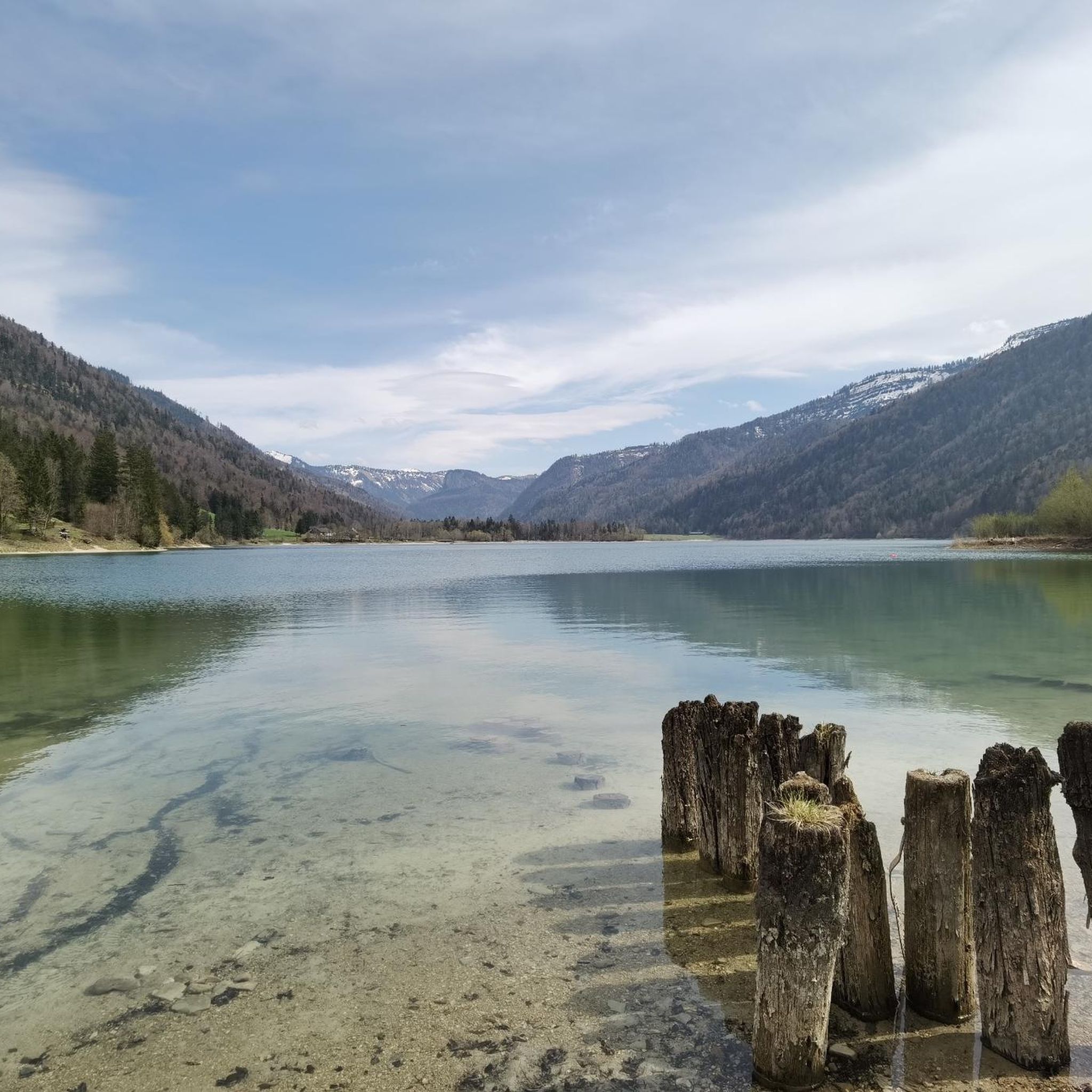
Beautiful view from the end of Hintersee upstream
0
0

Metal ring in front of Hintersee as a photo motif
0
0

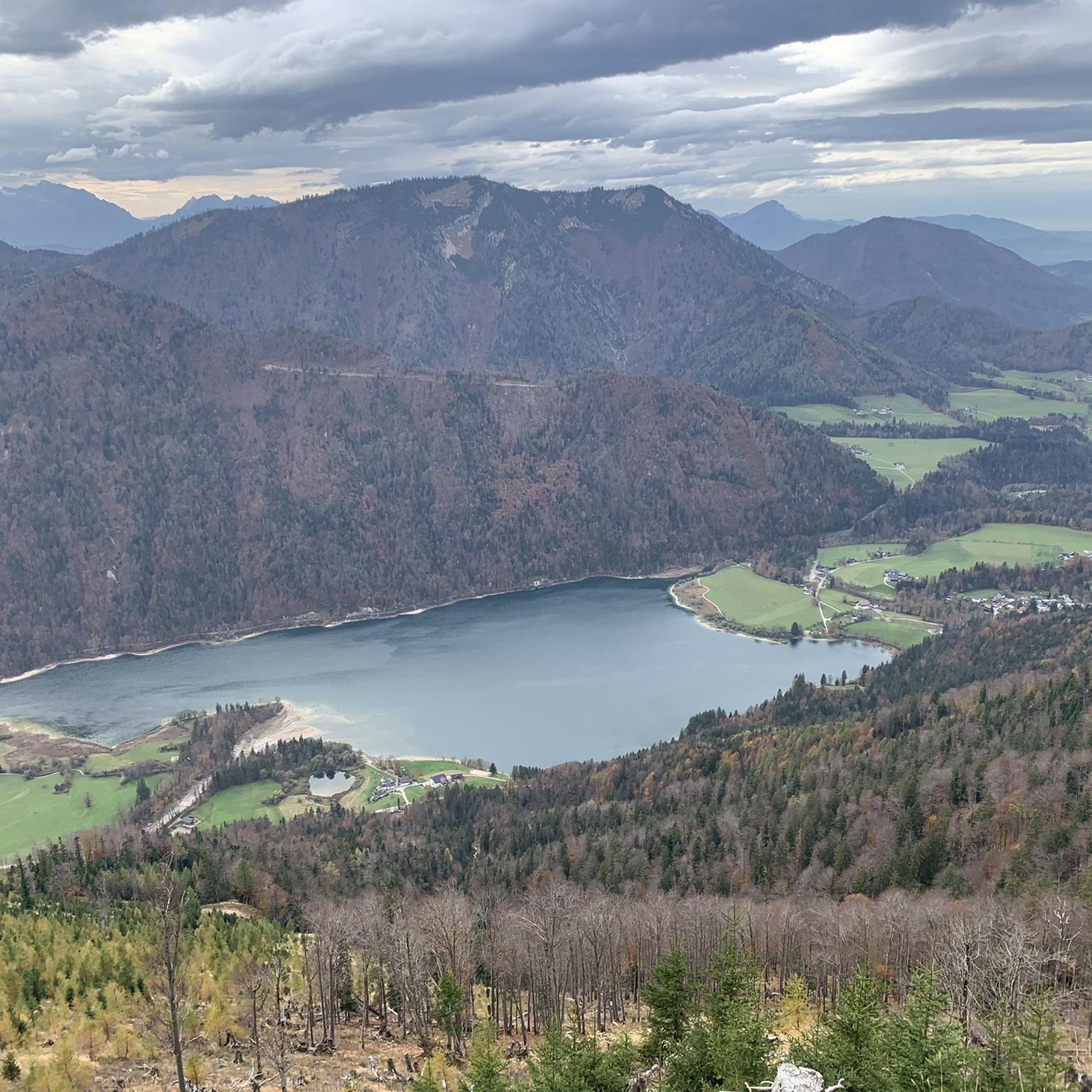
Wonderful view. Please also sign the summit book.
0
0

A very nice section of the MTB loop
0
0
Beautiful view from the MTB trail
0
0
Definitely visit during a quiet time of year
1
0

Cheese spaetzle on the Latschenalm
0
0

Frequently Asked Questions
How many mountaineering routes are available in Rannberg?
Rannberg offers a wide selection of mountaineering routes, with over 100 tours available. These range from easy strolls to challenging summit loops, ensuring there's something for every skill level.
What are the difficulty levels of mountaineering routes in Rannberg?
The routes in Rannberg cater to various experience levels. You'll find 4 easy routes, 46 moderate routes, and 58 difficult routes, providing options for beginners and experienced mountaineers alike.
Are there any family-friendly mountaineering options in Rannberg?
Yes, Rannberg is known for its family-friendly excursions. The ascent to Rannberg's summit is often described as a relatively comfortable tour suitable for the entire family. For an easier option, consider the Hintersee Lake – Hintersee — South Shore loop from Hintersee, which is an easy 4.7 km path.
What kind of views can I expect on Rannberg mountaineering routes?
Despite Rannberg appearing as a densely forested hill from a distance, its summits offer surprising and rewarding panoramic views. Many routes lead to summit crosses, providing expansive vistas of the surrounding Salzkammergut Mountains and even distant peaks like the Dachstein.
Are there any circular mountaineering routes in Rannberg?
Yes, Rannberg features several excellent circular routes. A popular moderate option is the Filbling Summit Cross loop from Faistenau. For a more challenging experience, try the difficult View of the Dachstein – Ochsenberg Summit loop from Hintersee.
What do other mountaineers enjoy most about Rannberg?
The area is highly rated by the komoot community, with an average score of 4.7 stars from over 400 reviews. Mountaineers often praise the rewarding panoramic views from the summits, the well-defined trails, and the diverse options available for different skill levels within the picturesque Salzkammergut Mountains.
What is the best time of year for mountaineering in Rannberg?
Rannberg offers outdoor activities year-round. While the warmer months are ideal for hiking and mountain tours, the colder months transform the area into an excellent location for winter activities like snowshoeing, providing a different way to experience its natural beauty.
Are there any challenging mountaineering routes in Rannberg?
Absolutely. For experienced mountaineers seeking a challenge, Rannberg offers several difficult routes. The Spielberg Summit Cross – Wieserhörndl Summit loop from Hintersee is a demanding 15.1 km trail leading through alpine terrain to multiple summit crosses.
What kind of natural features define the Rannberg mountaineering experience?
Mountaineering in Rannberg is characterized by its location within the Salzkammergut Mountains, featuring densely wooded hills that surprisingly open up to extensive panoramic views from the summits. The region's alpine landscape also supports winter activities like snowshoeing.
Can I find easy routes for a relaxed mountaineering experience?
Yes, Rannberg has easy routes perfect for a more relaxed experience. An example is the Hintersee Lake – Hintersee — South Shore loop from Hintersee, an easy 4.7 km path that takes about 1 hour 14 minutes to complete.
Are there any routes that offer views of the Dachstein?
Yes, some of the more challenging routes provide expansive views that include the distant Dachstein. The difficult View of the Dachstein – Ochsenberg Summit loop from Hintersee is specifically known for this breathtaking panorama.
Most popular routes in Rannberg
Most popular attractions in Rannberg

Get inspired with the komoot mobile app


Explore more
Browse the best Mountain Hikes & Routes in other regions.
