The best mountain hikes in Knoglwald
4.7
(146)
2,401
hikers
82
hikes
Mountaineering routes in Knoglwald traverse a mountainous region defined by significant elevation changes and prominent summits. The terrain features varied ascents and descents, leading to panoramic viewpoints. This area offers a range of mountaineering challenges, from moderate paths to difficult summit attempts.
Best mountaineering routes in Knoglwald
- The most popular mountaineering route is View of Schmittenstein – Schlenken Summit Cross loop from Zillreith, a 6.8 miles (11.0 km) trail that takes 4 hours 47 minutes to complete. This difficult…
Last updated: July 1, 2026
4.7
(10)
108
hikers
10.9km
04:47
650m
650m
Hard mountaineering route. Good fitness required. Sure-footedness, sturdy shoes and alpine experience required.
5.0
(3)
100
hikers
7.07km
03:17
580m
580m
Hard mountaineering route. Good fitness required. Sure-footedness, sturdy shoes and alpine experience required.

Sign up for free
3.5
(2)
24
hikers
6.53km
03:04
500m
500m
Hard mountaineering route. Good fitness required. Sure-footedness, sturdy shoes and alpine experience required.
4.5
(2)
9
hikers
12.5km
04:29
700m
700m
Moderate mountaineering route. Good fitness required. Mostly accessible paths. Sure-footedness required.
4
hikers
17.5km
07:09
1,060m
1,060m
Hard mountaineering route. Very good fitness required. Sure-footedness, sturdy shoes and alpine experience required.
Get access to more routes and recommendations from other explorers.
Sign up for free
Already have an account?
Our route recommendations are based on thousands of hikes, rides, and runs completed by other people on komoot.
Start today with a free account
Your next adventure awaits.
Login or Signup

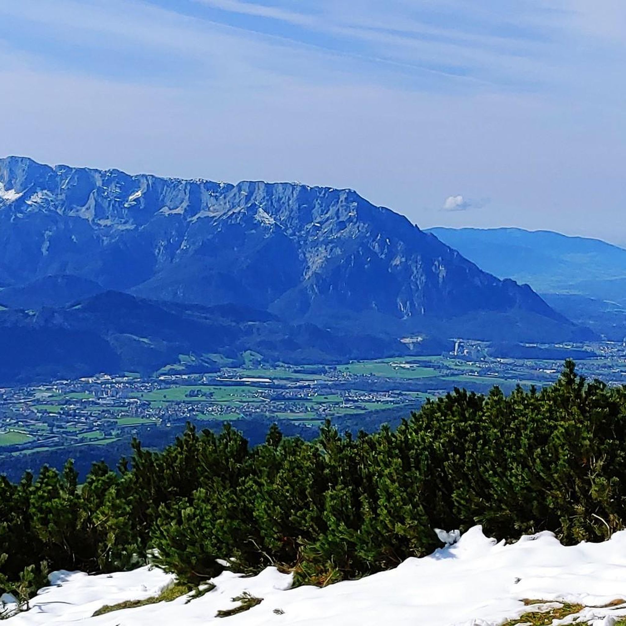
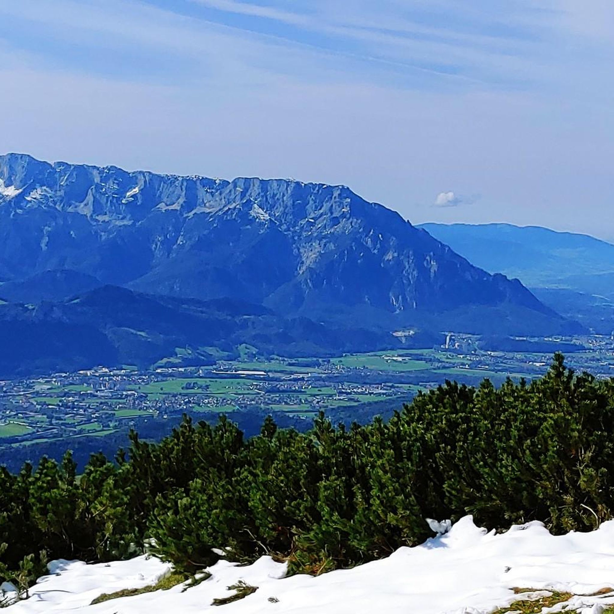

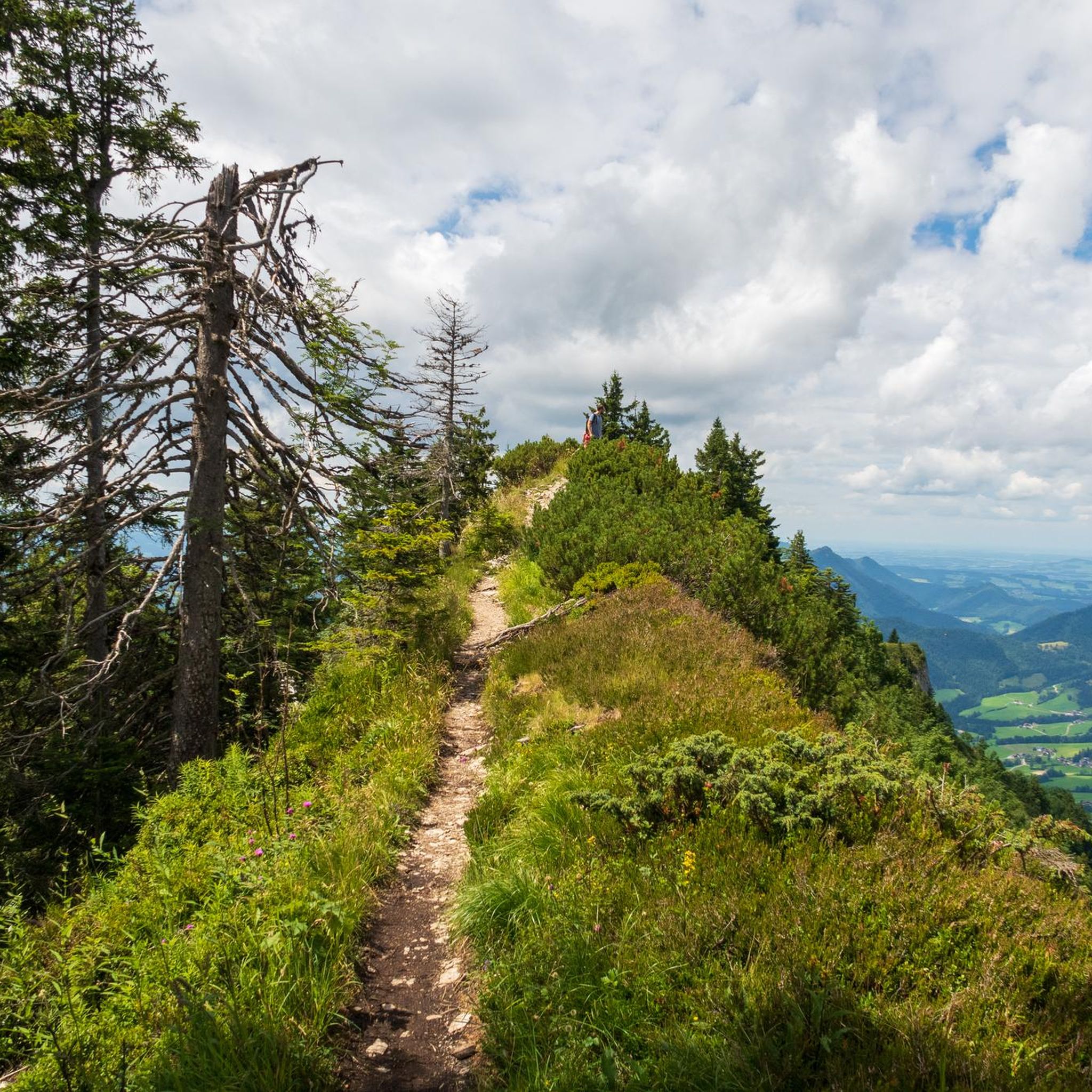

Tips from the Community

A beautiful driveway and sensational panoramic view from slightly above.
0
0

Cheese spaetzle on the Latschenalm
0
0

Frequently Asked Questions
How many mountaineering routes are available in Knoglwald?
Knoglwald offers a substantial network of over 80 mountaineering routes. These trails traverse a mountainous region with varied ascents and descents, leading to panoramic viewpoints.
What are the difficulty levels of mountaineering routes in Knoglwald?
The routes in Knoglwald cater to various skill levels. There are 3 easy routes, 28 moderate routes, and 52 difficult routes, providing options from less challenging climbs to demanding summit attempts.
Are there any circular mountaineering routes in Knoglwald?
Yes, Knoglwald features several circular mountaineering routes. For example, the Wieserhörndl Summit (1,567 m) – Wieserhörndl Summit loop from Sechserlandl is a moderate 5.6-mile (9.0 km) path that offers a complete loop to a notable summit.
What kind of terrain can I expect on Knoglwald mountaineering routes?
Mountaineering routes in Knoglwald are characterized by significant elevation changes and prominent summits. You can expect varied mountain terrain with both ascents and descents, often leading to expansive panoramic views.
What do other mountaineers say about the routes in Knoglwald?
The mountaineering routes in Knoglwald are highly regarded by the komoot community, holding an average rating of 4.7 stars from over 140 reviews. More than 2,400 mountaineers have explored this varied terrain, often praising the challenging summit ascents and panoramic views.
Are there any longer, more challenging mountaineering routes for experienced climbers?
Experienced mountaineers will find plenty of challenging options. The Schlenken Summit Cross – View of Schmittenstein loop from Krispl is a difficult 10.9-mile (17.6 km) trail with over 1,000 meters of elevation gain, typically taking around 7 hours 16 minutes to complete.
What are some notable landmarks or viewpoints along the mountaineering routes?
Along the mountaineering routes, you can discover several significant landmarks and viewpoints. These include the Schlenken Summit, Schmittenstein Summit, and the Hunter's Nose Ridge, which offers impressive vistas.
Are there any huts or shelters available on the mountaineering trails?
Yes, for those seeking a break or shelter, the Halleiner Hut is a notable point of interest along some of the mountaineering routes in Knoglwald.
Can you recommend a moderate mountaineering route in Knoglwald?
A popular moderate option is the Wieserhörndl Summit (1,567 m) – Wieserhörndl Summit loop from Reitlehen. This 7.7-mile (12.4 km) route involves about 700 meters of elevation gain and offers a rewarding experience without the extreme demands of the most difficult trails.
What is a good option for a challenging mountaineering route with significant elevation?
For a challenging experience, consider the View of Schmittenstein – Schlenken Summit Cross loop from Zillreith. This difficult 6.8-mile (11.0 km) route features substantial elevation gain, leading to a prominent summit cross, and typically takes around 4 hours 47 minutes.
Are there any specific trails known for their scenic views in Knoglwald?
Many routes in Knoglwald offer panoramic views due to the mountainous terrain. Trails leading to the Schmittenstein Summit or the Schlenken Summit are particularly noted for their expansive vistas.
Most popular routes in Knoglwald
Most popular attractions in Knoglwald

Get inspired with the komoot mobile app


Explore more
Browse the best Mountain Hikes & Routes in other regions.
