The best road cycling routes in Hochleithenwald
4.6
(141)
2,292
riders
264
rides
Road cycling in Hochleithenwald offers varied terrain within an expansive mixed forest area in the Lower Austrian Weinviertel region. The landscape is characterized by rolling hills, providing gentle inclines and descents suitable for road bikes. Routes primarily feature asphalt or gravel paths, making them accessible for road cyclists. This region provides an escape into nature with well-maintained cycling paths.
Best road cycling routes in Hochleithenwald
- The most popular road cycling route is On the cycle path – Kreuttal among trees…
Last updated: July 2, 2026
4.8
(4)
62
riders
43.0km
01:54
360m
360m
Moderate road ride. Good fitness required. Mostly well-paved surfaces and easy to ride.
5.0
(1)
47
riders
55.2km
02:21
420m
420m
Moderate road ride. Good fitness required. Mostly well-paved surfaces and easy to ride.

Sign up for free
4.0
(6)
56
riders
Moderate road ride. Good fitness required. Some segments of this route may be unpaved and difficult to ride.
4.0
(5)
45
riders
38.6km
01:39
270m
270m
Easy road ride. Great for any fitness level. Mostly well-paved surfaces and easy to ride.
32
riders
64.7km
03:00
720m
720m
Moderate road ride. Good fitness required. Mostly well-paved surfaces and easy to ride.
Get access to more routes and recommendations from other explorers.
Sign up for free
Already have an account?
Our route recommendations are based on thousands of hikes, rides, and runs completed by other people on komoot.
Start today with a free account
Your next adventure awaits.
Login or Signup
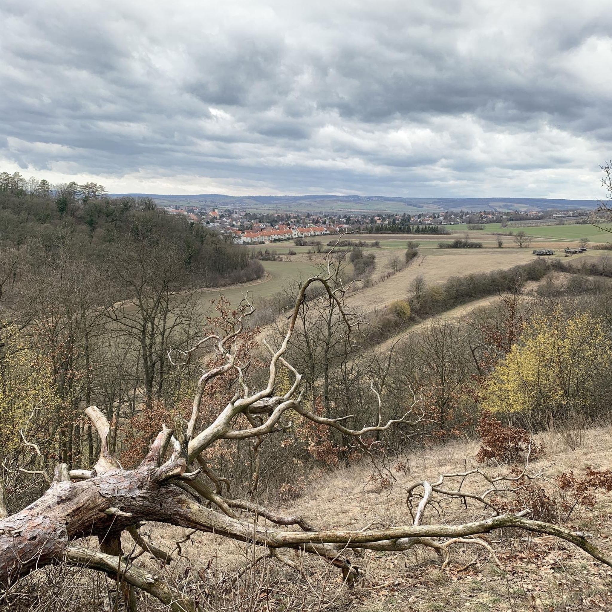
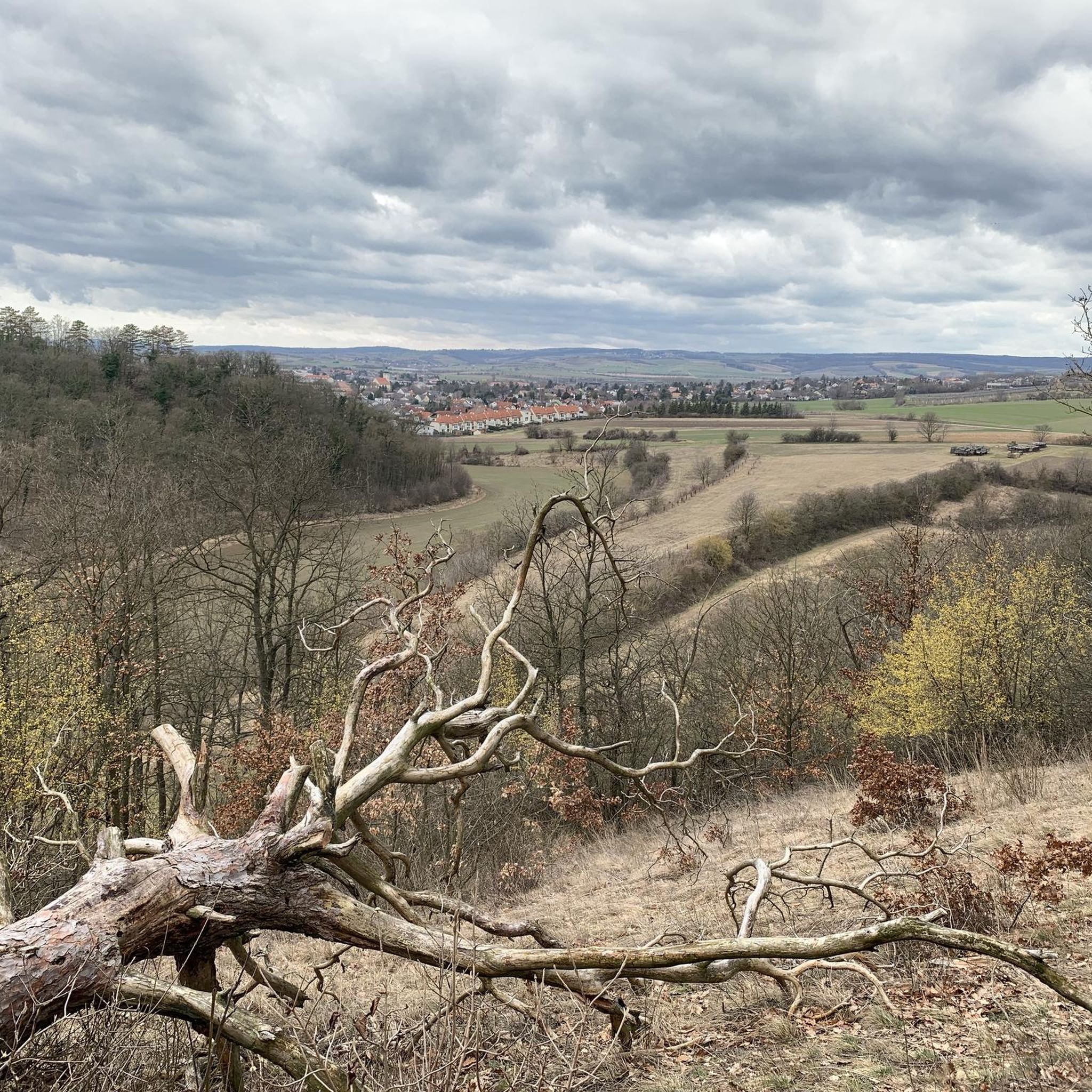
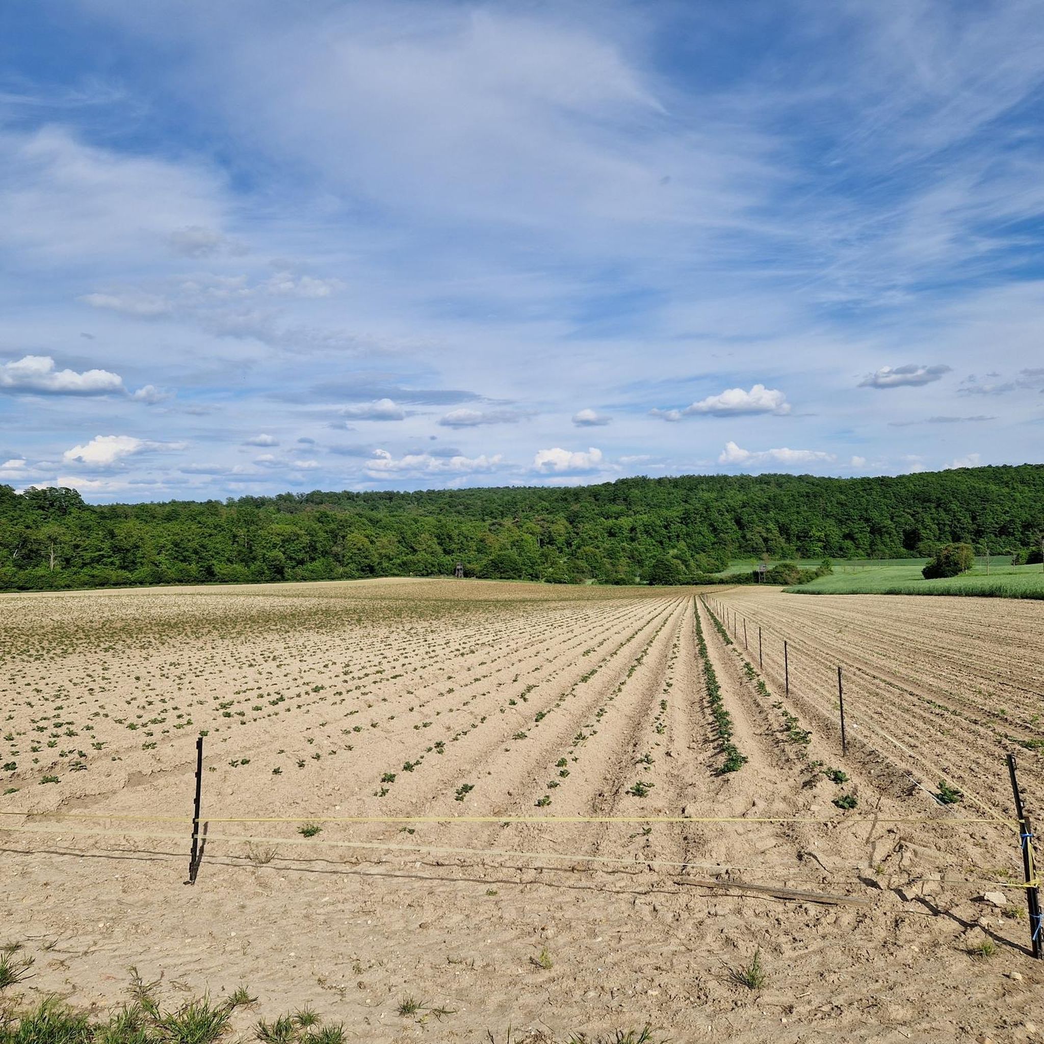
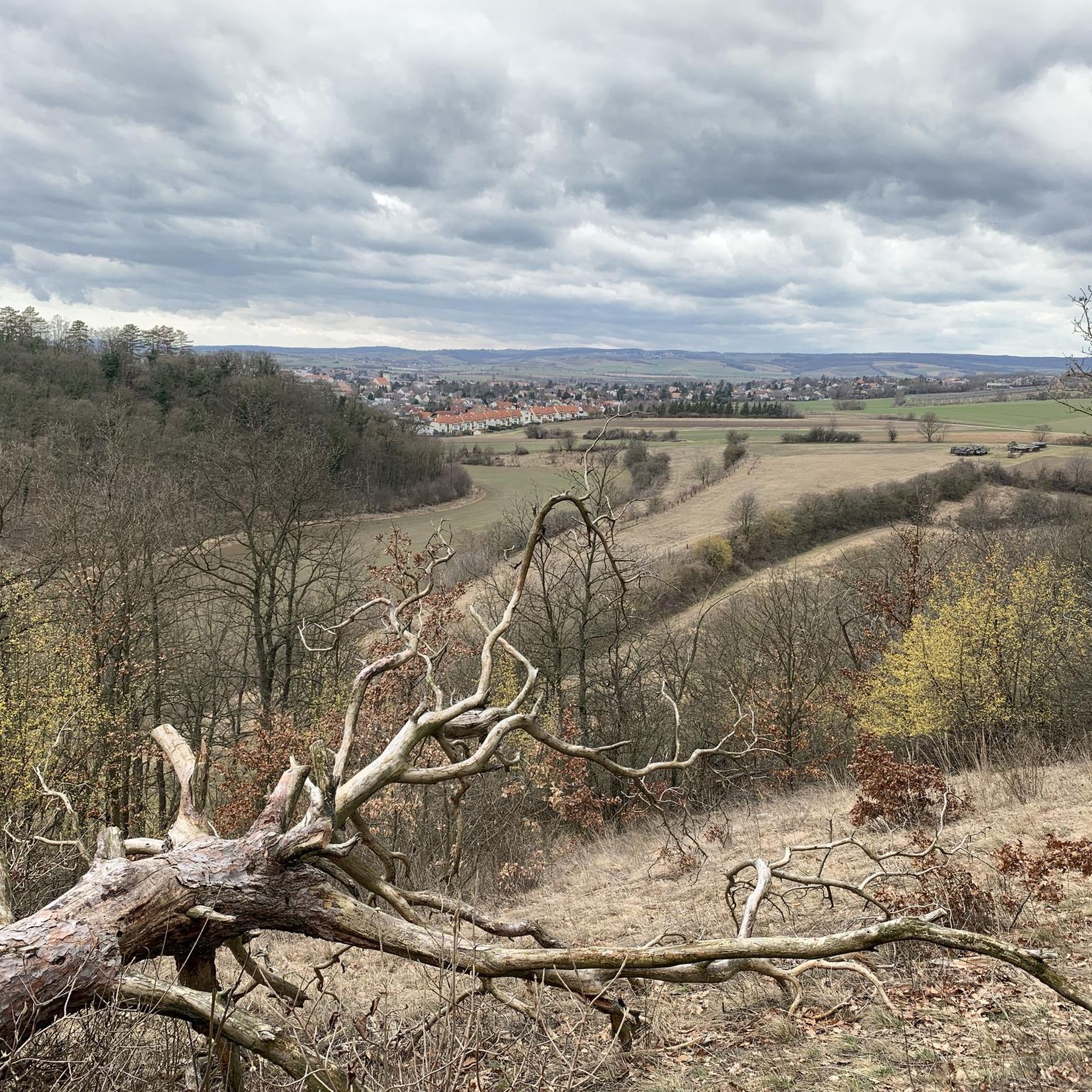
Tips from the Community

Pretty cellar lane, which is worth the detour from the main road.
0
0

Cycle path with a long downhill section of approx. 1 km away from traffic
0
0

Since the bypass opened, the road here has been relatively quiet. It's a shame, though, for those residents whose homes had to be demolished...
0
0


The castle is simply beautiful
1
0

The complex, which in its basic form dates back to the 13th century, now houses exhibition areas, a music school, a studio and a restaurant following a partial renovation between 2011 and 2013.
2
0

The gentle S-curve, the quarry stone wall and opposite the small church and village square. Always a nice sight when driving through.
0
0

Practically right on the side of the road.
0
0
Frequently Asked Questions
How many road cycling routes are available in Hochleithenwald?
Hochleithenwald offers a wide selection of road cycling routes, with over 270 tours available. These routes cater to various skill levels, including 59 easy, 179 moderate, and 32 difficult options.
What is the typical terrain like for road cycling in Hochleithenwald?
The region is characterized by the typical hilly landscape of the Weinviertel, featuring gentle inclines and descents that add interest without being overly challenging. Routes primarily utilize asphalt or well-maintained gravel paths, winding through a diverse mixed forest ecosystem and offering scenic views over the Weinviertel from forest edge zones.
Are there circular road cycling routes in Hochleithenwald?
Yes, many of the road cycling routes in Hochleithenwald are designed as loops, allowing you to start and finish at the same point. For example, the popular On the cycle path – Kreuttal among trees loop from Wolkersdorf is a great circular option.
What is the average length of road bike routes in Hochleithenwald?
Route lengths vary, but many popular options range from moderate to longer distances. For instance, the Kreuttal among trees – On the cycle path loop from Wolkersdorf covers 33.9 miles (54.6 km), while the Oberkreuzstetten Serpentines – Cycle path away from traffic loop from Wolkersdorf is 34.8 miles (56.0 km) long.
What can I see along the road cycling routes in Hochleithenwald?
Beyond the natural beauty of the mixed forest and rolling hills, you can discover several points of interest. These include historical sites like the Crosses of the White Lady of Bockfließ and the Memorial Cross for the 1990 Balloon Accident. You might also encounter natural monuments such as protected trees mentioned in the region's history.
Are there any historical sites or natural monuments to explore in Hochleithenwald?
Yes, the Hochleithenwald region is home to several notable sites. The Franzosensprung – Barbara Shrine is a historical and religious site with a poignant story from 1809. Additionally, you can find natural monuments like the 'Bindereiche' (oak) and a 'Bildereiche' (picture oak) near the forester's house, showcasing the area's natural heritage.
What do other road cyclists enjoy most about road cycling in Hochleithenwald?
The area is highly rated by the komoot community, with an average score of 4.6 stars from over 120 reviews. Cyclists often praise the varied terrain, the well-maintained paths, and the tranquil escape into nature offered by the expansive mixed forest, especially its proximity to Vienna.
Is there parking available for road cyclists in Hochleithenwald?
Given its accessibility and popularity for outdoor activities, parking is generally available at common starting points for routes, such as in and around Wolkersdorf. These areas serve as convenient bases for exploring the Hochleithenwald by road bike.
Can I reach the Hochleithenwald road bike trails by public transport?
Yes, Hochleithenwald's proximity to Vienna makes it accessible via public transport. You can typically reach towns bordering the forest, such as Wolkersdorf, by train or bus, and then begin your cycling adventure from there.
Are there family-friendly road bike routes in Hochleithenwald?
Many routes in Hochleithenwald feature gentle inclines and well-maintained paths, making them suitable for families. The 24.0 miles (38.6 km) Wolkersdorf Castle Park – On the cycle path loop from Wolkersdorf is rated as easy, offering a pleasant experience for various ability levels.
What is the best season for road biking in Hochleithenwald?
The mixed forest ecosystem and rolling hills of Hochleithenwald are particularly enjoyable during spring, summer, and early autumn. These seasons offer pleasant temperatures, vibrant foliage, and ideal conditions for exploring the region's scenic routes.
Most popular routes in Hochleithenwald
Most popular attractions in Hochleithenwald

Get inspired with the komoot mobile app


Explore more
Browse the best Road cycling routes in other regions.
