The best road cycling routes in Gulsen
4.5
(96)
2,438
riders
61
rides
Road cycling routes in Gulsen are primarily situated within the Murtal region, characterized by its forested landscapes and river valleys. The terrain offers a mix of gentle gradients along the Mur River and more challenging ascents into the surrounding hills. Road cyclists can expect varied routes that traverse agricultural areas, pass through small villages, and provide views of the Styrian countryside. The region's road network supports diverse cycling experiences, from leisurely rides to more demanding training routes.
Best road cycling…
Last updated: July 10, 2026
23
riders
Easy road ride. Great for any fitness level. Mostly well-paved surfaces and easy to ride.
5.0
(5)
81
riders
56.0km
02:47
880m
880m
Moderate road ride. Good fitness required. Mostly well-paved surfaces and easy to ride.

Sign up for free
4.6
(5)
62
riders
Easy road ride. Great for any fitness level. Mostly well-paved surfaces and easy to ride.
4.7
(3)
65
riders
83.3km
03:33
510m
510m
Moderate road ride. Good fitness required. Some segments of this route may be unpaved and difficult to ride.
3.0
(1)
80
riders
34.7km
01:26
180m
180m
Easy road ride. Great for any fitness level. Mostly well-paved surfaces and easy to ride.
Get access to more routes and recommendations from other explorers.
Sign up for free
Already have an account?
Our route recommendations are based on thousands of hikes, rides, and runs completed by other people on komoot.
Start today with a free account
Your next adventure awaits.
Login or Signup

Tips from the Community


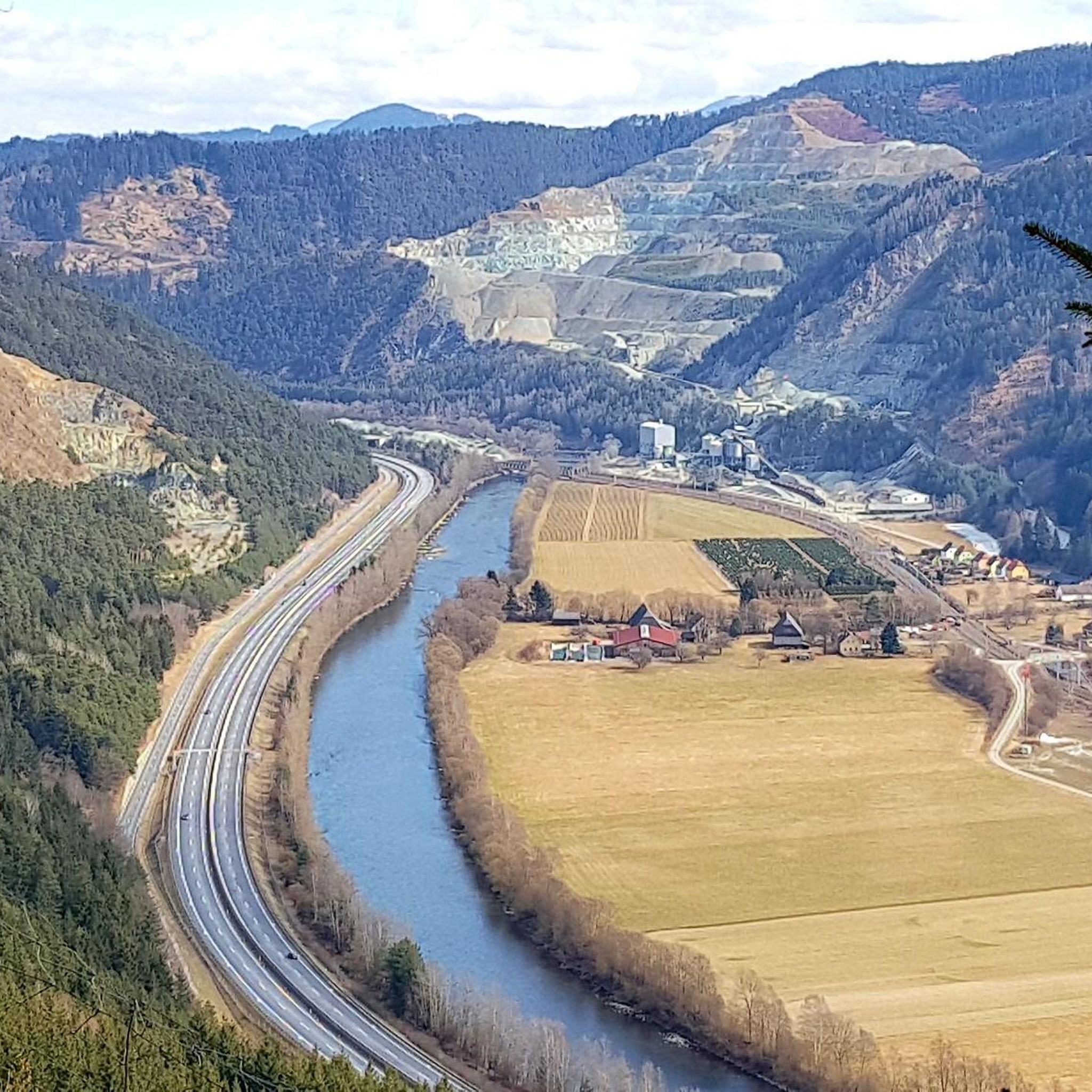
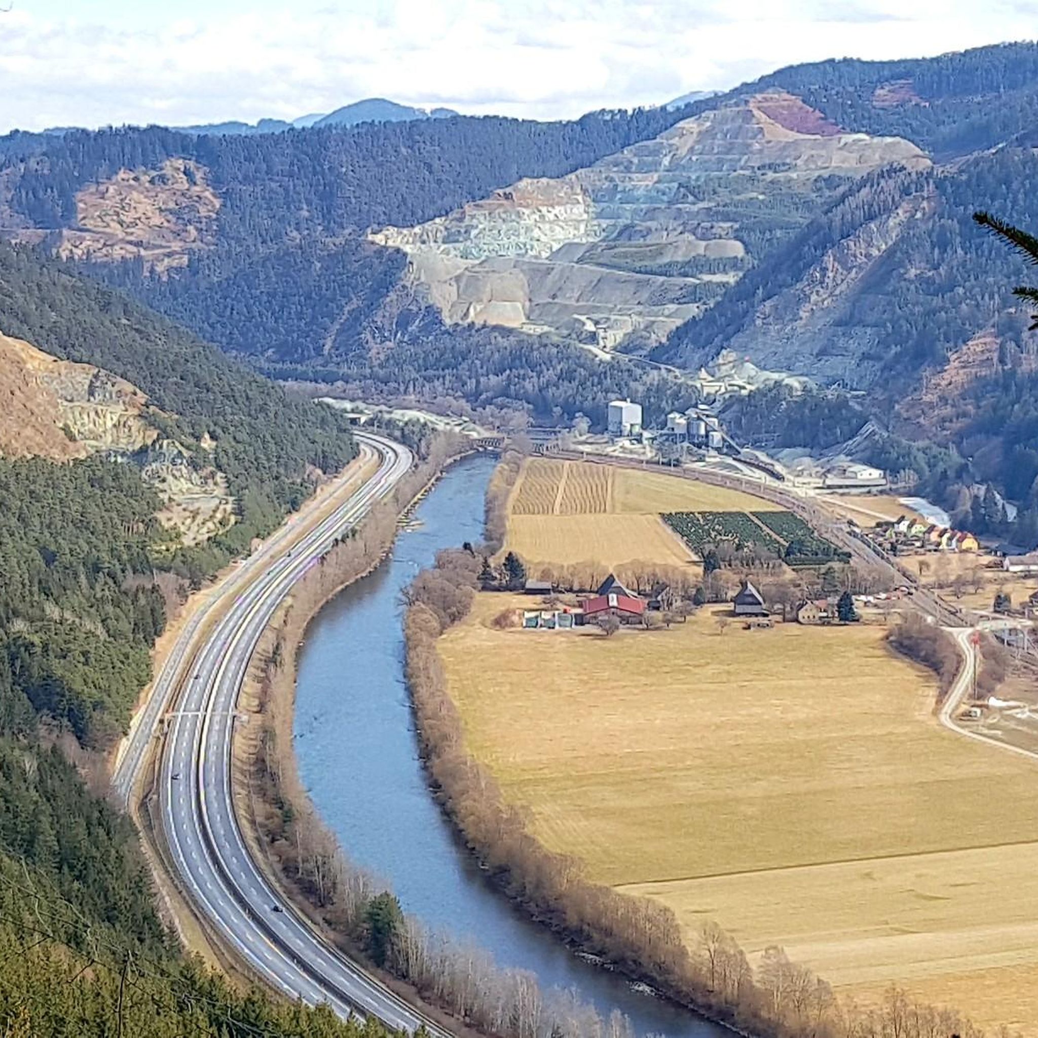
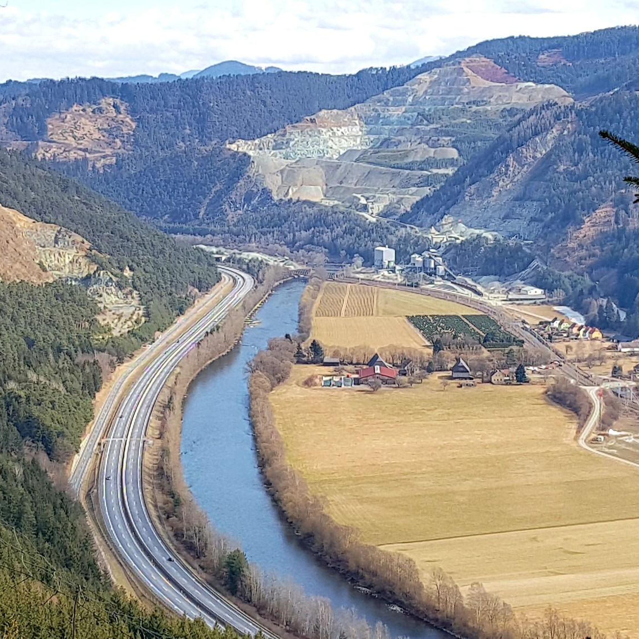
The sign on the bridge finally shows the name of the river we are driving along. Beautiful steel construction!
1
0

Beautiful route with great views and good asphalt. Perfect for a racing bike!
0
0

If you want to cycle comfortably, you are in good hands on this route.
1
0

Here you go to Kraubath an der Mur, there is a bicycle service station in town.
8
0
Frequently Asked Questions
What kind of terrain can I expect when road cycling in Gulsen?
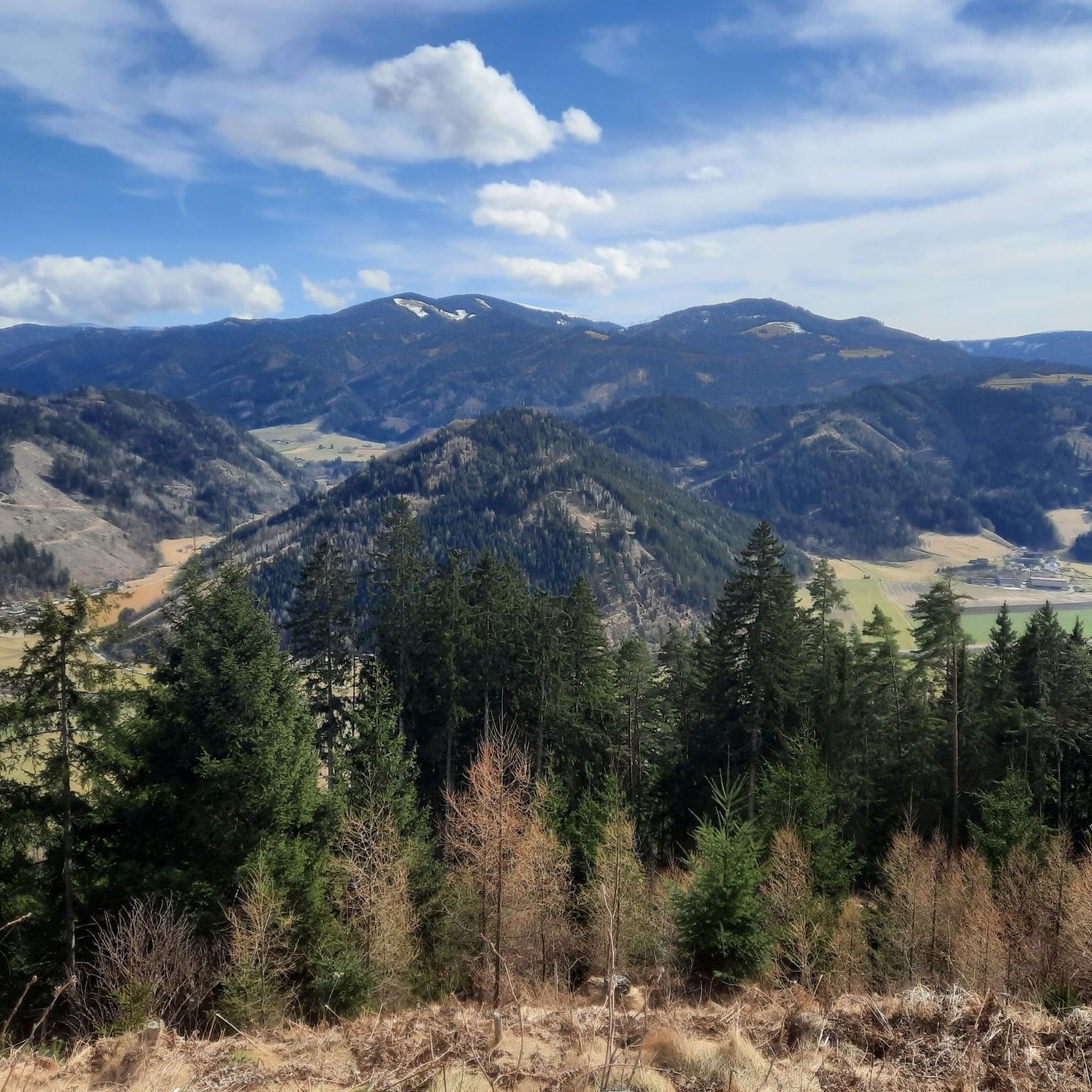
Road cycling in the region referred to as Gulsen, primarily within the Murtal area, offers a diverse landscape. You'll find routes with gentle gradients along the Mur River, as well as more challenging ascents into the surrounding forested hills. The terrain includes agricultural areas, small villages, and scenic views of the Styrian countryside.
How many road cycling routes are available in the Gulsen area?
There are over 60 road cycling routes available in the Gulsen area, catering to various skill levels from easy to difficult.
Are there road cycling routes suitable for beginners in Gulsen?
Yes, the Gulsen area offers a good selection of routes for beginners. Approximately 25 routes are rated as easy. An example of a gentle ride is the St. Mareiner Church – Celtic Pile Dwelling Village loop from Feistritz bei Knittelfeld, which is about 13.3 miles (21.5 km) long.
What are some challenging road cycling routes in Gulsen?
For those seeking a challenge, the region offers 32 moderate and 5 difficult routes. A notable moderate route with significant elevation gain is the Seckau Abbey – Weihermoarteich loop from Kraubath, spanning 34.8 miles (56.0 km).
What do other road cyclists appreciate most about the routes in Gulsen?
The road cycling routes in Gulsen are highly rated by the komoot community, with an average score of 4.6 stars from over 80 reviews. Cyclists often praise the varied terrain, which includes river valleys, forested areas, and rolling hills, offering a range of experiences from flat sections to moderate climbs.
Are there any circular road cycling routes in Gulsen?
Many of the road cycling routes in Gulsen are designed as loops. For instance, the Gobernitz Mur Bridge – Along the Southern Railway loop from Pichl bei Knittelfeld Abzw Ort is a 21.0 miles (33.8 km) circular trail that follows river valleys and railway lines.
What is the best time of year for road cycling in Gulsen?
While specific seasonal details for Gulsen are not available, road cycling in regions with varied terrain like Murtal is generally best enjoyed from spring through autumn. These seasons typically offer pleasant temperatures and stable weather conditions for exploring both river valleys and hill climbs.
Are there any scenic viewpoints or landmarks along the road cycling routes?
Yes, some routes pass by historical landmarks and offer scenic views. For example, the Seckau Abbey – Weihermoarteich loop from Kraubath features historical landmarks, and many routes provide views of the Styrian countryside.
Can I find cafes or places to stop for refreshments along the road cycling routes in Gulsen?
The routes often pass through small villages and agricultural areas. While specific cafes are not listed, these villages typically offer opportunities for refreshments. Planning your route in advance can help identify suitable stops.
What is the longest road cycling route available in Gulsen?
One of the longer routes available is the Trabocher See – Wald am Schoberpass loop from Kraubath, which covers approximately 51.7 miles (83.2 km) with moderate elevation gain.
Is public transport available to access road cycling routes in Gulsen?
The guide data does not specify public transport options directly to the trailheads. However, as the routes are situated within the Murtal region and pass through villages, local public transport might connect to some starting points. It's advisable to check local transport schedules for specific access points.
Where can I park my car when starting a road cycling route in Gulsen?
While specific parking locations are not detailed in the guide, routes often start from towns or villages like Feistritz bei Knittelfeld or Kraubath. These locations typically offer public parking facilities suitable for accessing the routes.

Get inspired with the komoot mobile app


Explore more
Browse the best Road cycling routes in other regions.
