The best mountain hikes in Wukounigwald
3.0
(1)
23
hikers
6
hikes
Mountaineering in Wukounigwald, situated in Austria's Völkermarkt district, offers diverse mountainous terrain. The region features numerous peaks and varied landscapes, providing opportunities for challenging alpine pursuits. While Wukounigwald itself offers extensive trails, the broader Carinthia region enriches the experience with its alpine environment. These routes traverse areas with significant elevation changes, characteristic of the district's mountainous nature.
Best mountaineering routes in Wukounigwald
- The most popular mountaineering route is Wolfsberger Hut – Ladinger Peak loop from Wolfsberger Hütte, a 6.5…
Last updated: June 26, 2026
2
hikers
10.4km
03:47
540m
540m
Moderate mountaineering route. Good fitness required. Mostly accessible paths. Sure-footedness required.
4
hikers
6.88km
02:41
390m
390m
Hard mountaineering route. Good fitness required. Sure-footedness, sturdy shoes and alpine experience required.

Sign up for free
3.0
(1)
5
hikers
10.7km
03:49
530m
530m
Hard mountaineering route. Good fitness required. Sure-footedness, sturdy shoes and alpine experience required.
2
hikers
7.01km
02:37
360m
360m
Moderate mountaineering route. Good fitness required. Mostly accessible paths. Sure-footedness required.
3
hikers
14.5km
05:18
610m
610m
Hard mountaineering route. Very good fitness required. Mostly accessible paths. Sure-footedness required.
Our route recommendations are based on thousands of hikes, rides, and runs completed by other people on komoot.
Start today with a free account
Your next adventure awaits.
Login or Signup
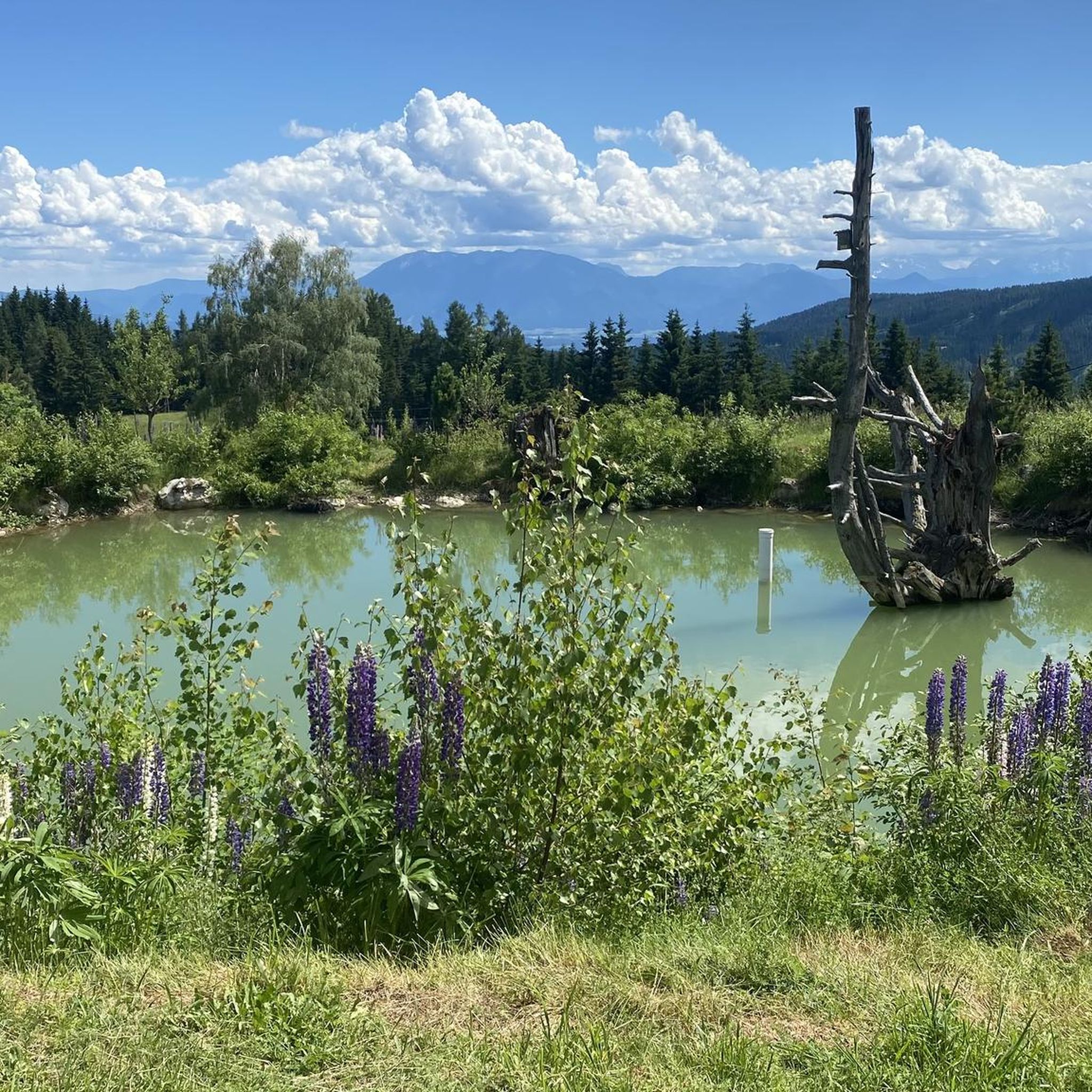
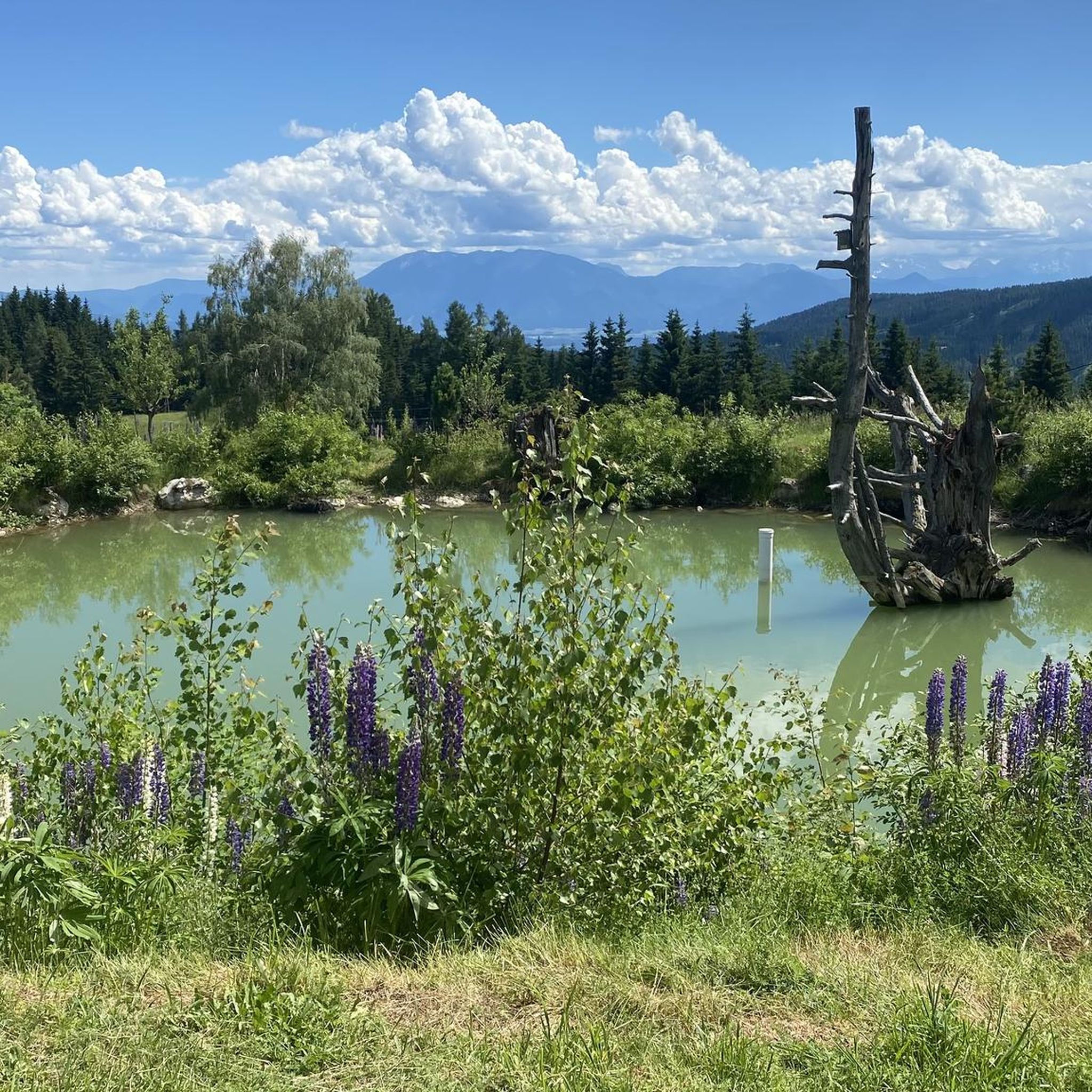
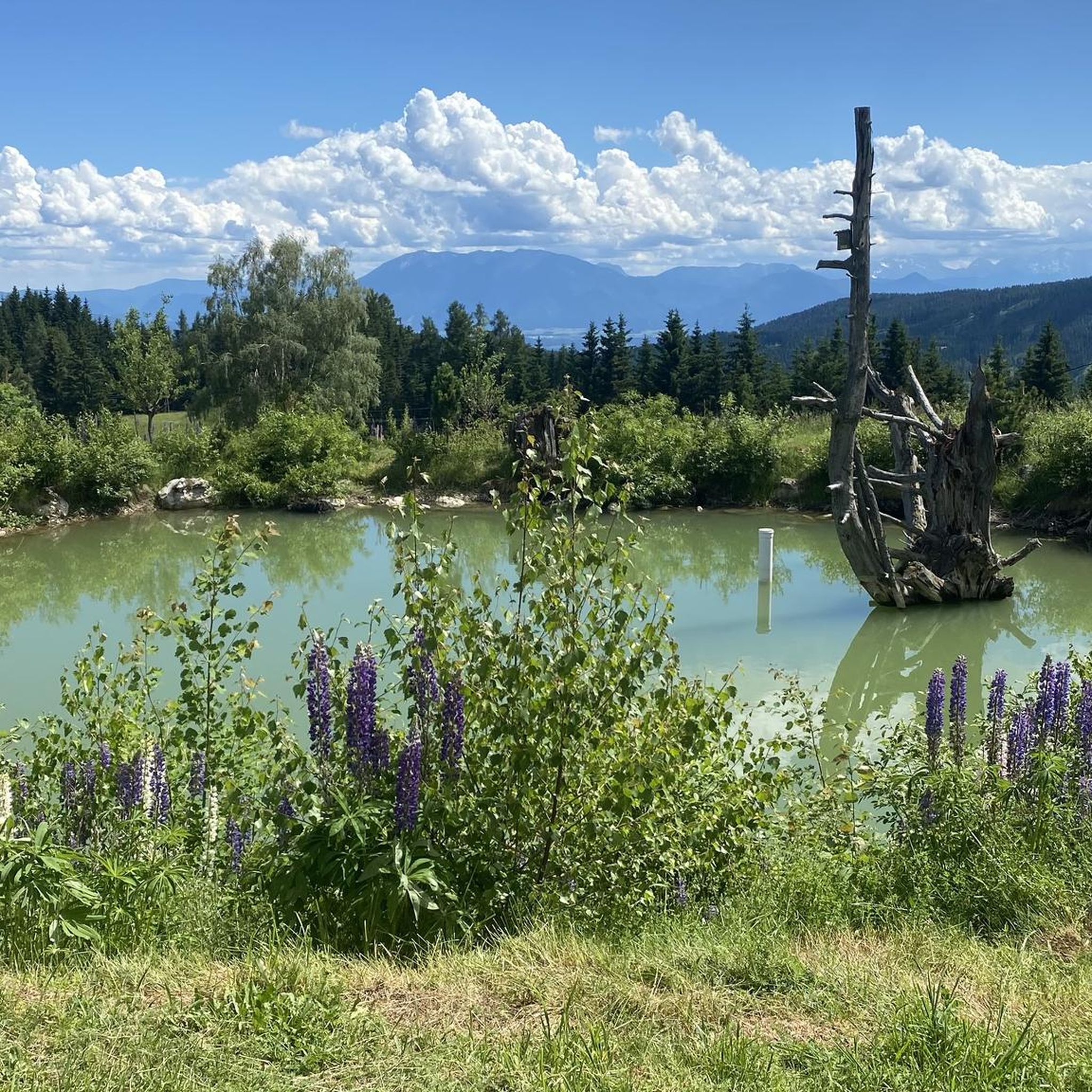
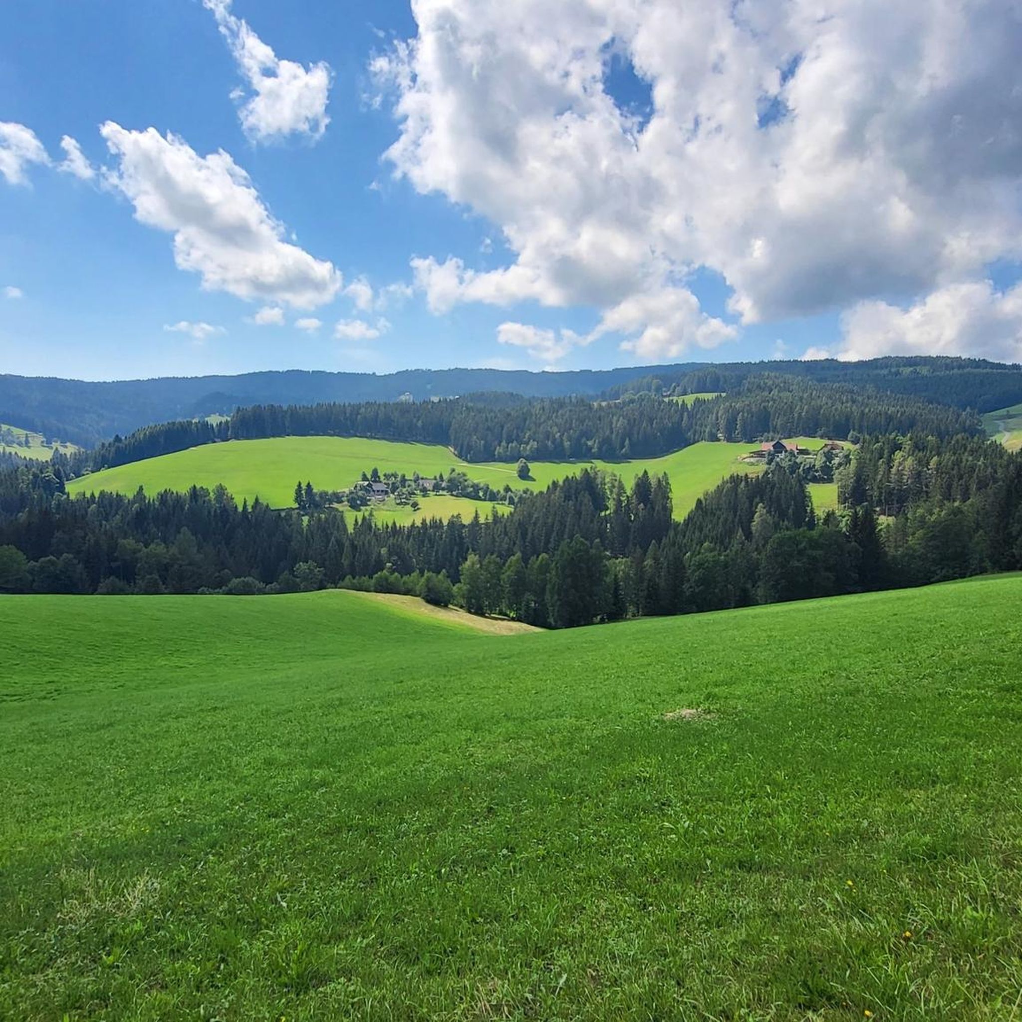
Tips from the Community

Coming from Klippitztörl, continue at the junction on the ridge towards Wolfsberger Hütte / Diex or turn left downhill to the Ladinger Hütte.
0
0

The Zingerle Kreuz (1,891 m) is located on the Saualpe and is very easy to reach. From the Wolfsberger Hütte car park, it takes about 30 minutes if you take a leisurely hike. I slept at the Wolfsberger Hütte and hiked up to see the sunset and sunrise. Fantastically beautiful and highly recommended!
1
0

Kleiner Sauofen is another peak on this mountain range. The view is mega
1
0
Gertrusk is a peak with mega views and easy to climb
0
0

Well, it's a bit hard if you've already done the small and large Sauofen as well as the Ladinger Spitz in your legs 😁 but it's worth it 👍 especially since it's not that far from the Ladinger Spitz.
1
1
Wonderful view and beautiful summit cross 👍
1
0
Nice hosts, delicious food and great view - highly recommended 👍
1
0
It's almost a "must" to take it with you when you're at the little pig oven 👍
2
0
Frequently Asked Questions
How many mountaineering routes are available in Wukounigwald?
Wukounigwald offers a selection of 7 mountaineering routes, catering to various skill levels. These include both moderate and difficult trails, providing diverse options for exploring the region's mountainous terrain.
Are there any beginner-friendly mountaineering routes in Wukounigwald?
While Wukounigwald's mountaineering routes are generally classified as moderate to difficult, there are 4 moderate trails that require good basic fitness. These routes offer a good introduction to the area's mountainous landscape without the extreme challenges of the most difficult ascents.
What are some of the more challenging mountaineering routes in Wukounigwald?
For experienced mountaineers seeking a challenge, routes like the Großer Sauofen Summit – Zingerle Cross loop from Steinerhütte or the Gertrusk Summit – Ladinger Peak loop from Saualpe offer significant elevation gain and are rated as difficult. These trails provide a rigorous experience with rewarding views.
Are there any circular mountaineering routes in Wukounigwald?
Yes, many of the mountaineering routes in Wukounigwald are circular, allowing you to start and end at the same point. For example, the popular Wolfsberger Hut – Ladinger Peak loop from Wolfsberger Hütte is a 10.4 km circular trail featuring a moderate ascent to Ladinger Peak.
What kind of landmarks or points of interest can I see along the mountaineering routes?
Along the mountaineering routes in Wukounigwald, you can encounter various points of interest. Notable highlights include the Messner Cross, offering scenic views, and the Wolfstratte (1587 m), a significant trail point. You might also pass by the Brunner Hütten, which can be a welcome stop.
What is the typical duration for mountaineering tours in Wukounigwald?
The duration of mountaineering tours in Wukounigwald varies depending on the route and your pace. Moderate trails like the Wolfsberger Hut – Ladinger Peak loop from Wolfsberger Hütte typically take around 3 hours 47 minutes, while shorter but difficult routes such as the Großer Sauofen Summit – Zingerle Cross loop from Steinerhütte can be completed in about 2 hours 40 minutes.
What are the elevation gains like on Wukounigwald's mountaineering routes?
Mountaineering in Wukounigwald is characterized by significant elevation changes. Routes typically feature ascents ranging from approximately 360 meters to over 600 meters. For instance, the Gertrusk Summit – Ladinger Peak loop from Saualpe involves an elevation gain of around 606 meters.
Is Wukounigwald suitable for family-friendly mountaineering?
While the routes are generally categorized as moderate to difficult, families with older children who have good basic fitness and some hiking experience may find the moderate trails enjoyable. It's advisable to check the specific route details, including distance and elevation, to ensure it matches your family's capabilities.
What do other mountaineers say about the routes in Wukounigwald?
The mountaineering routes in Wukounigwald are highly rated by the komoot community, with an average score of 3.0 stars. Users often appreciate the diverse mountainous terrain and the opportunities for challenging alpine pursuits within the Völkermarkt district.
Are there options for winter mountaineering in Wukounigwald?
While Wukounigwald offers extensive trails, the broader Carinthia region, where Völkermarkt is located, is known for its alpine environment. For winter mountaineering, it's crucial to be well-prepared with appropriate gear and to check local conditions, avalanche warnings, and trail accessibility, as some routes may become more challenging or inaccessible due to snow and ice.
Where can I find parking for mountaineering trailheads in Wukounigwald?
Specific parking information for each trailhead is usually detailed on the individual route pages. Many routes, such as those starting from Steinerhütte or Wolfsberger Hütte, typically have designated parking areas nearby, making access convenient for mountaineers.
Are there any places to eat or stay near the mountaineering routes?
The Völkermarkt district, where Wukounigwald is located, offers various amenities. While specific cafes or pubs directly at trailheads might be limited, you can often find accommodation and dining options in nearby towns and villages. The Brunner Hütten, for example, could serve as a potential stop along some routes.
Most popular routes in Wukounigwald
Most popular attractions in Wukounigwald

Get inspired with the komoot mobile app


Explore more
Browse the best Mountain Hikes & Routes in other regions.
